Blackhillock Plantation

Wood, Forest in Banffshire

Scotland

Blackhillock Plantation

Road Junction The road to the right isn't on the older maps, but it now links this part of Aultmore forest on the slope of Black Hill to Addie Hill and Stony Slacks. The fanit hill on the horizon is Ben Rinnes.
Road Junction Credit: Anne Burgess

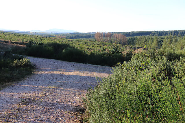
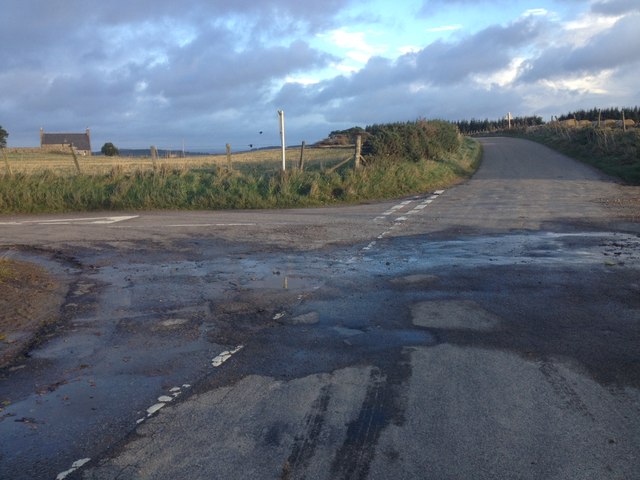
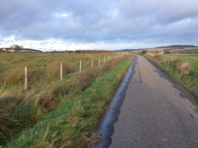
Blackhillock Plantation is a picturesque wood located in Banffshire, Scotland. Covering approximately 100 acres, it is a popular destination for nature enthusiasts and outdoor lovers.

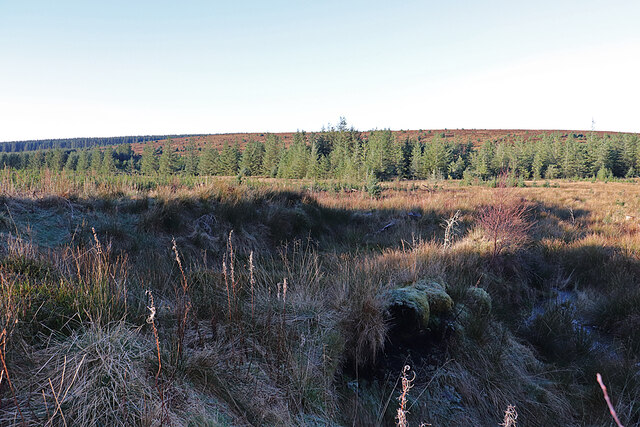
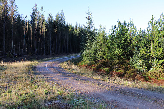
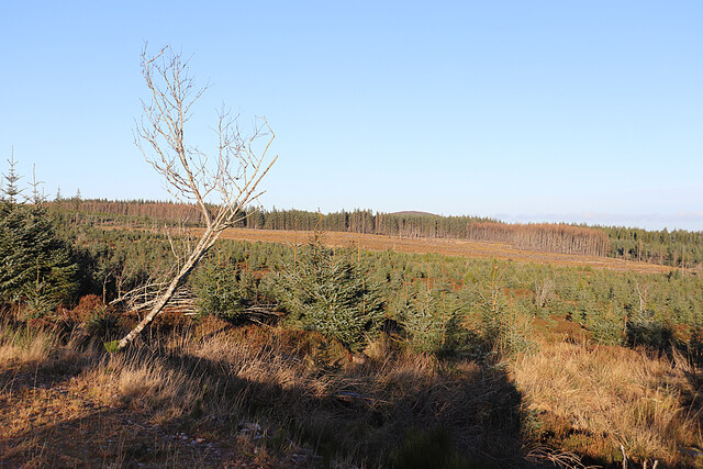
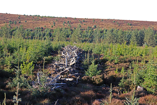
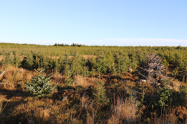
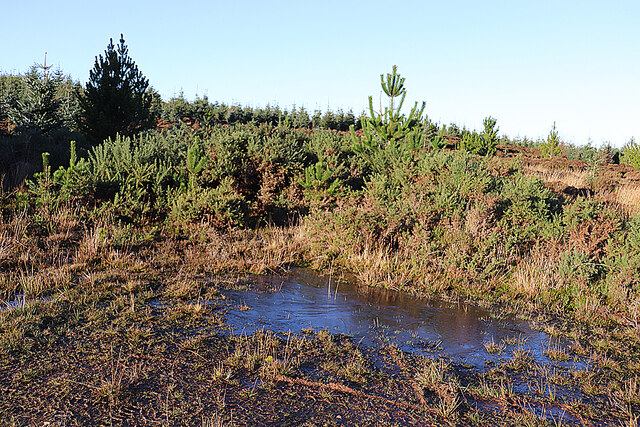
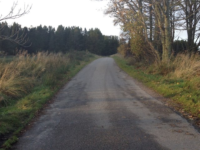
The plantation is primarily composed of dense coniferous trees, including Scots pine and Norway spruce, which create a stunning green canopy throughout the year. The trees provide a habitat for a variety of bird species, such as the crossbill and the great spotted woodpecker.

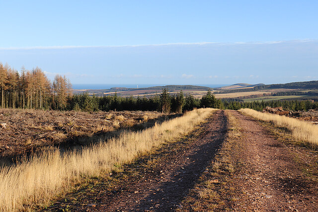
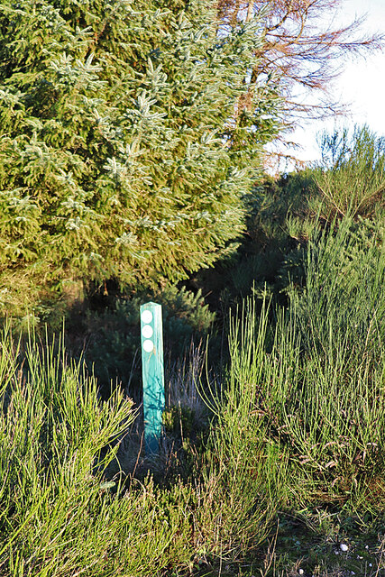
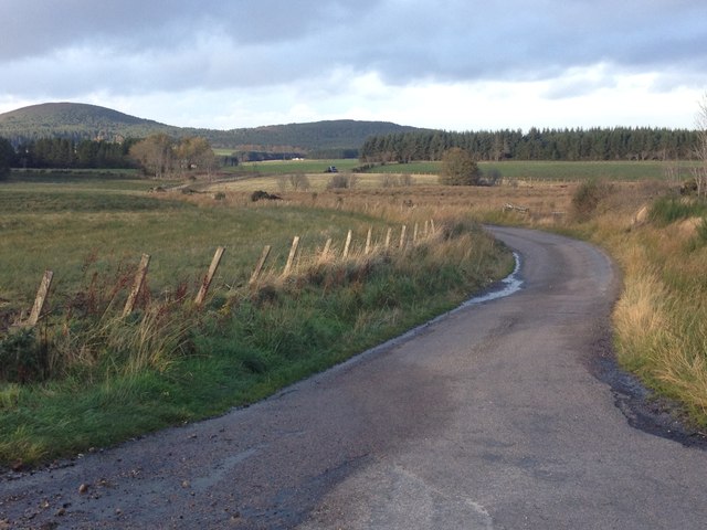
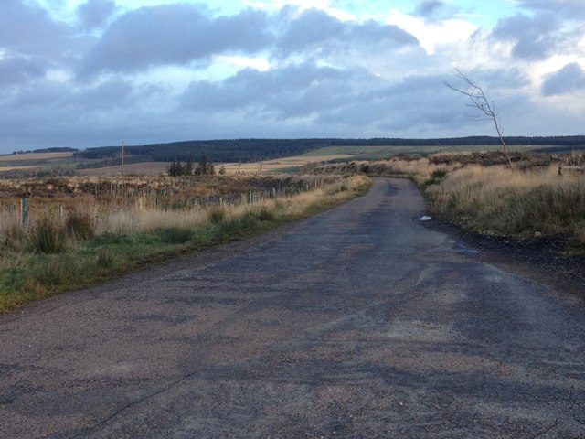
Visitors can explore the woodland through a network of well-maintained trails and pathways. These paths are suitable for both walking and cycling, offering opportunities for recreation and exercise. The plantation also provides picnic areas and benches, allowing visitors to relax and enjoy the serene surroundings.

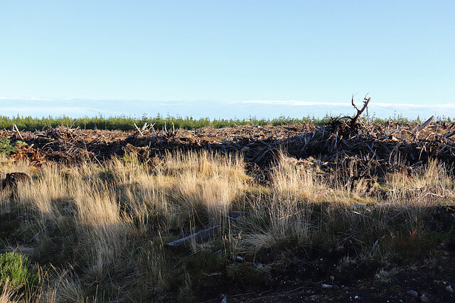
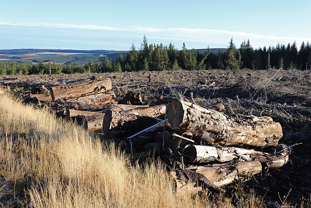
Blackhillock Plantation is not only a haven for flora and fauna, but it also has historical significance. It was once part of the vast estate owned by the local laird and was used for timber production. Although the plantation no longer serves this purpose, remnants of the old sawmill can still be seen, adding a touch of nostalgia to the area.

The plantation is open to the public year-round, and admission is free. It is recommended to wear appropriate footwear and clothing, especially during wet weather, as some parts of the trails can be muddy. Overall, Blackhillock Plantation offers a tranquil and scenic setting for nature lovers to immerse themselves in the beauty of the Scottish woodlands.

If you have any feedback on the listing, please let us know in the comments section below.

Blackhillock Plantation Images

Images are sourced within 2km of 57.626736/-2.8674288 or Grid Reference NJ4859. Thanks to Geograph Open Source API. All images are credited.

Road Junction The road to the right isn't on the older maps, but it now links this part of Aultmore forest on the slope of Black Hill to Addie Hill and Stony Slacks. The fanit hill on the horizon is Ben Rinnes.
Road Junction
The road to the right isn't on the older maps, but it now links this part of Aultmore forest on the slope of Black Hill to Addie Hill and Stony Slacks. The fanit hill on the horizon is Ben Rinnes.
Hidden Burn There is a very minor burn lurking in the vegetation here, and shown on the map. In the background is the gentle eminence of Black Hill.
Hidden Burn
There is a very minor burn lurking in the vegetation here, and shown on the map. In the background is the gentle eminence of Black Hill.
Bags of Trees There must be plans for tree planting very soon, because these bags apparently contain tree seedlings.
Bags of Trees
There must be plans for tree planting very soon, because these bags apparently contain tree seedlings.
Old Fir Hill This part of the forest has been felled and looks a bit chaotic.
Old Fir Hill
This part of the forest has been felled and looks a bit chaotic.
Forest Road The forest road round Old Fir Hill is slippery with frost the shade of the trees.
Forest Road
The forest road round Old Fir Hill is slippery with frost the shade of the trees.
Aultmorehill The road across a felled area on Aultmorehill enjoys a fine view down towards the sea. The rounded hill on the right is Durn Hill near Portsoy.
Aultmorehill
The road across a felled area on Aultmorehill enjoys a fine view down towards the sea. The rounded hill on the right is Durn Hill near Portsoy.
Large Logs Large they may be, but I suspect the reason they are still here is because they are too thick, too short, too knotty and not straight enough to appeal to a sawmill.
Large Logs
Large they may be, but I suspect the reason they are still here is because they are too thick, too short, too knotty and not straight enough to appeal to a sawmill.
Aultmorehill Wood The forest looks as if it has been left to regenerate naturally here. There's a glimpse of the Bin of Cullen above the trees on the skyline.
Aultmorehill Wood
The forest looks as if it has been left to regenerate naturally here. There's a glimpse of the Bin of Cullen above the trees on the skyline.
A Line of Brash The forest harvesters have left rows of unwanted twigs and branches, around which young trees seem to be seeding themselves.
A Line of Brash
The forest harvesters have left rows of unwanted twigs and branches, around which young trees seem to be seeding themselves.
Young Trees and Old Brash Young trees have sprung up between the rows of twigs and branches discarded by the forest harvesters.
Young Trees and Old Brash
Young trees have sprung up between the rows of twigs and branches discarded by the forest harvesters.
Icy Puddle The frost has never lifted today, and this puddle still has a covering of ice in early afternoon. It marks the spot where the newish forest road meets the line of the old one, the latter now looking pretty well impassable to the north.
Icy Puddle
The frost has never lifted today, and this puddle still has a covering of ice in early afternoon. It marks the spot where the newish forest road meets the line of the old one, the latter now looking pretty well impassable to the north.
Waymarker The post indicates a cycle route going left. It bears the number 6, though it's not clear if that is the number of the route or of the individual post. We don't recall noticing any others in Aultmore Forest.
Waymarker
The post indicates a cycle route going left. It bears the number 6, though it's not clear if that is the number of the route or of the individual post. We don't recall noticing any others in Aultmore Forest.
Road junction near Rosebank
Minor road near Shiel Muir
Minor road near Tods Plantation
Minor road near Swailend
Farm track to Aulmore Lodge Looking southward.
Farm track to Aulmore Lodge
Looking southward.
Show me another place!

Blackhillock Plantation is located at Grid Ref: NJ4859 (Lat: 57.626736, Lng: -2.8674288)

Unitary Authority: Moray

Police Authority: North East

What 3 Words

///earphones.hinders.amount. Near Cullen, Moray

Nearby Locations

Blackhillock Plantation

Related Wikis

Battle of Bauds

Battle of Bauds was a battle fought in 962 in an area known as the Bauds, south of Findochty and west of Cullen near Portknockie, Scotland between Scotland...

Deskford

Deskford (Scottish Gaelic: Deasgard) is a parish and a small settlement in Moray, Scotland, formerly in Banffshire. A number of significant historical...

Deskford Tower

Tower of Deskford was a 14th-century tower house, about 3.5 miles (5.6 km) south of Cullen, Moray, Scotland at Deskford, west of the burn. The tower and...

Foudland Hills

The Foudland Hills is a mountain range in the northeast of Aberdeenshire, Scotland and northwest of Morayshire. The Foudland Hills are a prominent feature...

Have you been to Blackhillock Plantation?

Leave your review of Blackhillock Plantation below (or comments, questions and feedback).