Hareshawhead Plantation

Wood, Forest in Roxburghshire

Scotland

Hareshawhead Plantation

Longpark Wind Farm This telephoto shot was taken from the summit of Eildon Mid Hill on a calm November morning when valley fog persisted for most of the day.
Longpark Wind Farm Credit: Walter Baxter

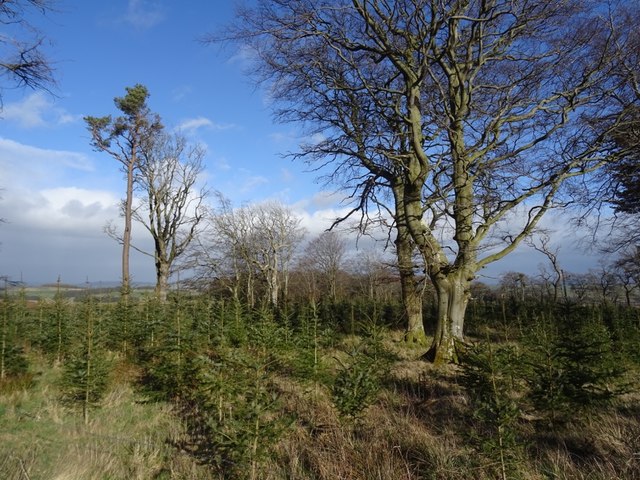
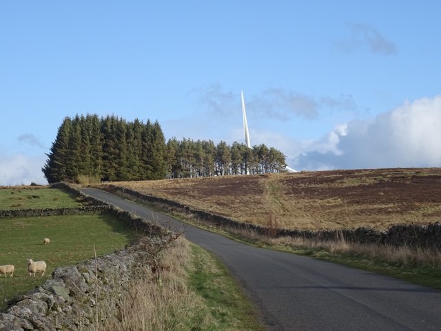
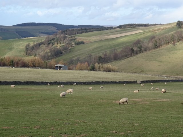
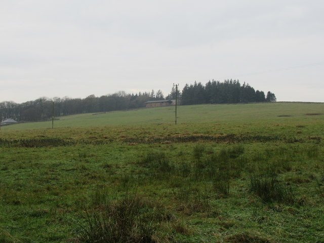
Hareshawhead Plantation is a large woodland area located in Roxburghshire, Scotland. Covering several acres of land, the plantation is primarily made up of a mix of native and exotic tree species, providing a diverse and vibrant habitat for wildlife.

The plantation is managed by the Forestry Commission, who work to maintain and preserve the natural beauty of the area while also ensuring sustainable forestry practices are in place. Visitors to Hareshawhead Plantation can enjoy a variety of recreational activities, including walking, hiking, and birdwatching.

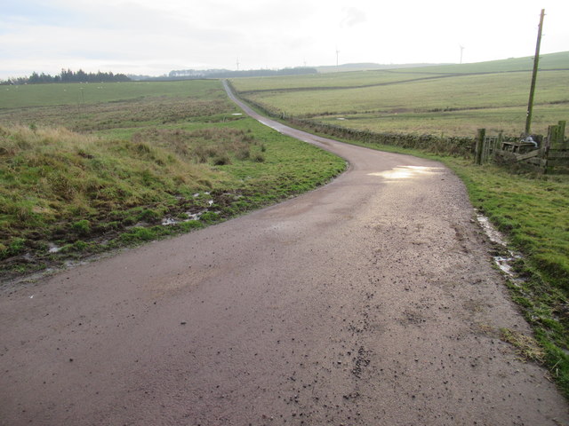
The woodland is crisscrossed with a network of well-maintained trails, making it easy for visitors to explore the area and take in the stunning views of the surrounding countryside. The plantation is also home to a number of historic features, including the remains of old buildings and stone walls, adding to its charm and character.

Overall, Hareshawhead Plantation is a peaceful and picturesque destination for nature lovers and outdoor enthusiasts alike, offering a tranquil escape from the hustle and bustle of everyday life.

If you have any feedback on the listing, please let us know in the comments section below.

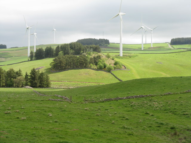
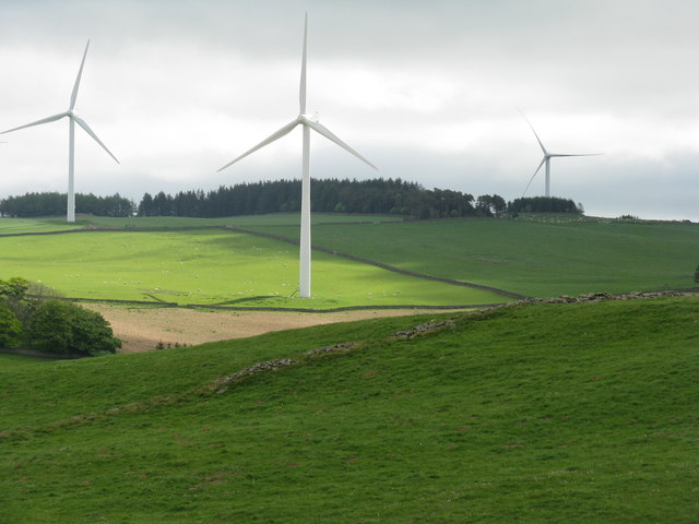
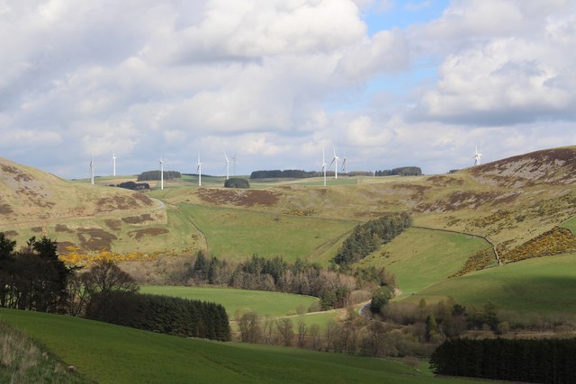
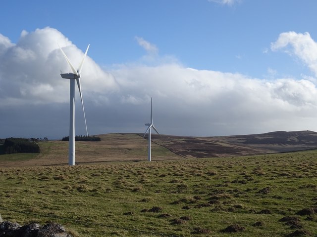
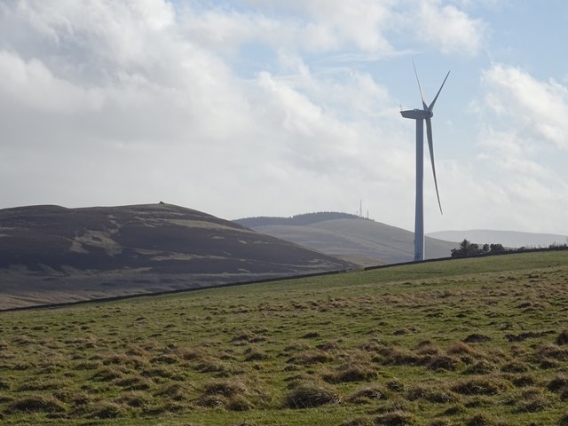
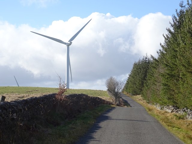
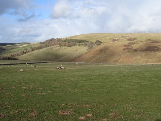
Hareshawhead Plantation Images

Images are sourced within 2km of 55.674328/-2.8247641 or Grid Reference NT4842. Thanks to Geograph Open Source API. All images are credited.

Longpark Wind Farm This telephoto shot was taken from the summit of Eildon Mid Hill on a calm November morning when valley fog persisted for most of the day.
Longpark Wind Farm
This telephoto shot was taken from the summit of Eildon Mid Hill on a calm November morning when valley fog persisted for most of the day.
Long Park Wind Farm Seven of the nineteen 80m diam. 2MW turbines that make up the wind farm <a href="https://www.geograph.org.uk/photo/5402393">NT4641 : A glimpse of Long Park Wind Farm</a>.
Long Park Wind Farm
Seven of the nineteen 80m diam. 2MW turbines that make up the wind farm NT4641 : A glimpse of Long Park Wind Farm.
Three Long Park Wind Farm Turbines Each 80m diam. and producing 2MW <a href="https://www.geograph.org.uk/photo/5402393">NT4641 : A glimpse of Long Park Wind Farm</a>.
Three Long Park Wind Farm Turbines
Each 80m diam. and producing 2MW NT4641 : A glimpse of Long Park Wind Farm.
Longpark Wind Farm Photographed from the Clovenfords to Fountainhall road
Longpark Wind Farm
Photographed from the Clovenfords to Fountainhall road
Hareshawhead Plantation This bit of the wood  <a href="https://www.geograph.org.uk/photo/4202787">NT4842 : Clear felled area,  Hareshawhead Plantation</a> nearly five years on. A new crop of trees is getting established.
Hareshawhead Plantation
This bit of the wood NT4842 : Clear felled area, Hareshawhead Plantation nearly five years on. A new crop of trees is getting established.
Longpark Wind Farm On the ridge southeast of Stow.
Longpark Wind Farm
On the ridge southeast of Stow.
Turbine, Longpark Wind Farm With Meigle Hill in the background.
Turbine, Longpark Wind Farm
With Meigle Hill in the background.
Stow to Wooplaw road Passing the Longpark Wind Farm and Hareshawhead Plantation.
Stow to Wooplaw road
Passing the Longpark Wind Farm and Hareshawhead Plantation.
View of Sell Muir Sellmoor Hill is still without turbines, years after a planned development here.
View of Sell Muir
Sellmoor Hill is still without turbines, years after a planned development here.
Stow to Wooplaw Road Parkwood wind farm ahead.
Stow to Wooplaw Road
Parkwood wind farm ahead.
Muirhouse Burn, Stow Sheep graze above Stow.
Muirhouse Burn, Stow
Sheep graze above Stow.
Icy track above Allanshaws Farm near Lauder in the Scottish Borders
Icy track leading to Allanshaws near Lauder in the Scottish Borders
Branch track on Allanshaws Farm near Lauder in the Scottish Borders
Road from Allanshaws near Lauder in the Scottish Borders
Allanshaws above Lauder in the Scottish Borders
Woodland above Allanshaws near Lauder in the Scottish Borders
Woodland on Allanshaws near Lauder in the Scottish Borders
Show me another place!

Hareshawhead Plantation is located at Grid Ref: NT4842 (Lat: 55.674328, Lng: -2.8247641)

Unitary Authority: The Scottish Borders

Police Authority: The Lothians and Scottish Borders

What 3 Words

///relocated.poem.blizzard. Near Galashiels, Scottish Borders

Nearby Locations

Hareshawhead Plantation

Related Wikis

Allanshaws

Allanshaws is a place and farm off the B6362, in Lauderdale, by the Allan Water, in the parish of Melrose in the Scottish Borders area of Scotland, formerly...

Bow Castle Broch

Bow Castle is the remains of an iron-age broch near the Gala Water, in the Scottish Borders area of Scotland, in the parish of Stow. It is a scheduled...

Stow of Wedale Town Hall

Stow of Wedale Town Hall is a municipal building in Earlston Road, Stow of Wedale, Scottish Borders, Scotland. The structure, which serves as a community...

Stow of Wedale

Stow of Wedale, or more often Stow, is a village in the Scottish Borders area of Scotland (historically Midlothian), 7 miles (11 kilometres) north of...

Nearby Amenities

Located within 500m of 55.674328,-2.8247641
Ele: 372
Natural: peak
Lat/Long: 55.6735468/-2.8266972
Generator Method: wind_turbine
Generator Output Electricity: 2 MW
Generator Source: wind
Generator Type: horizontal_axis
Height: 69
Manufacturer: Senvion
Operator: EDF Energy Renewables
Power: generator
Ref: T6
Rotor Diameter: 82
Start Date: 2009-11
Lat/Long: 55.6746318/-2.8287332
Generator Method: wind_turbine
Generator Output Electricity: 2 MW
Generator Source: wind
Generator Type: horizontal_axis
Height: 69
Manufacturer: Senvion
Operator: EDF Energy Renewables
Power: generator
Ref: T9
Rotor Diameter: 82
Start Date: 2009-11
Lat/Long: 55.6720424/-2.8242271
Barrier: cattle_grid
Lat/Long: 55.674484/-2.8266388
The data included in this document is from www.openstreetmap.org. The data is made available under ODbL.

Have you been to Hareshawhead Plantation?

Leave your review of Hareshawhead Plantation below (or comments, questions and feedback).