Abercannaid

Settlement in Glamorgan

Wales

Abercannaid

Church of St John the Baptist in Troedyrhiw View past the church and across the valley of the Taff.  The church is listed Grade II
Church of St John the Baptist in Troedyrhiw Credit: David Smith

Abercannaid is a small village located in the county of Glamorgan, Wales. Situated in the southern part of the country, Abercannaid is nestled within a picturesque landscape characterized by rolling hills and lush greenery. The village is part of the historic region of Glamorgan, which has a rich heritage dating back centuries.

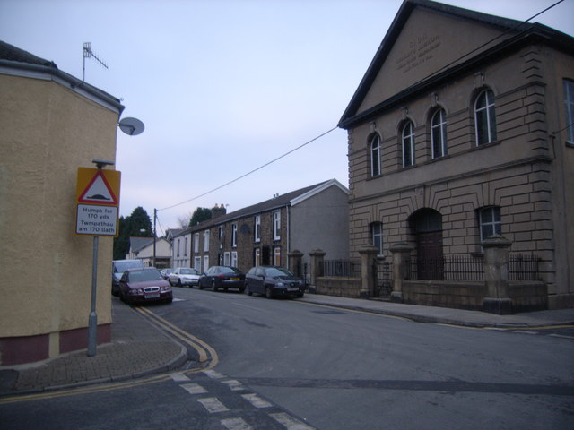
The village is home to a close-knit community, with a population of approximately 500 residents. Abercannaid offers a peaceful and tranquil environment, appealing to those seeking a quiet and idyllic lifestyle. The village is known for its welcoming atmosphere and friendly locals, who take pride in preserving the area's heritage and traditions.

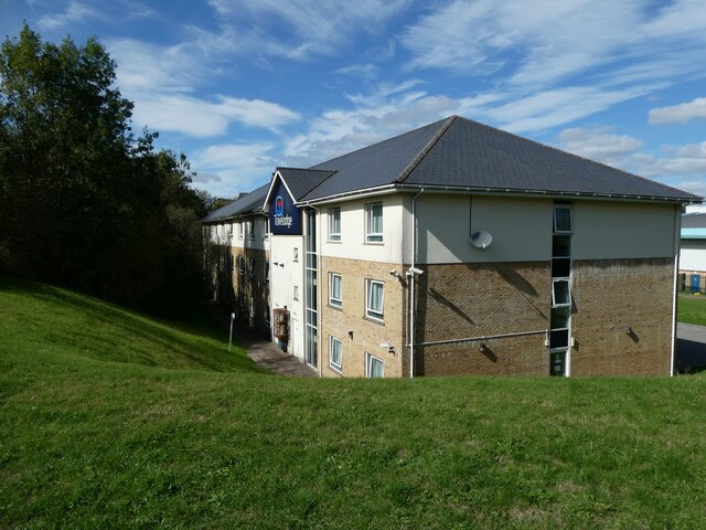
Despite its small size, Abercannaid boasts a range of amenities and facilities to cater to the needs of its residents. These include a primary school, a post office, a local pub, and a community center. The village is well-connected to nearby towns and cities through a network of roads, making it easily accessible for commuting or exploring the surrounding areas.

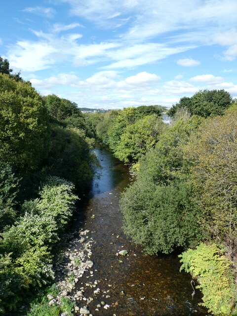
Nature enthusiasts will find plenty to enjoy in Abercannaid, as the village is surrounded by stunning natural beauty. The nearby countryside offers opportunities for hiking, cycling, and other outdoor activities, allowing residents to appreciate the stunning scenery and diverse wildlife.

Overall, Abercannaid is a charming village that offers a peaceful and close-knit community, set within the beautiful landscapes of Glamorgan. It provides a perfect retreat for those looking to escape the hustle and bustle of city life and immerse themselves in a serene and picturesque environment.

If you have any feedback on the listing, please let us know in the comments section below.
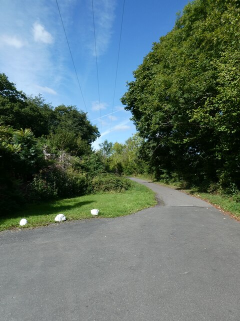
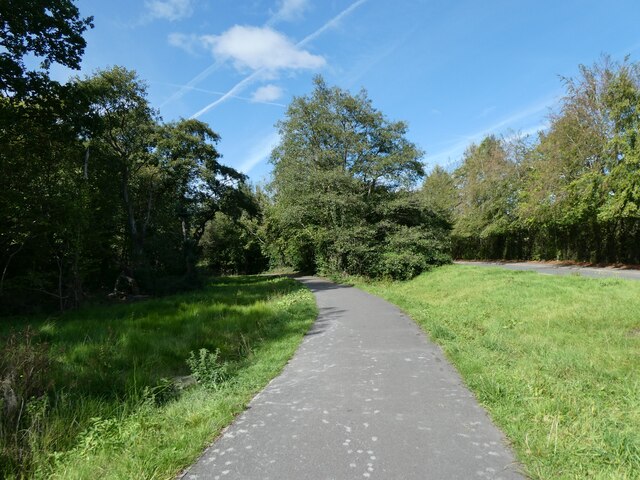
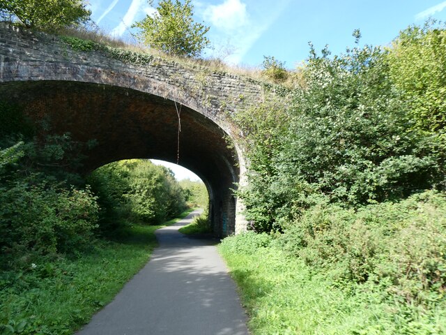
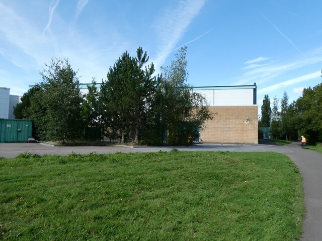
Abercannaid Images

Images are sourced within 2km of 51.723012/-3.368385 or Grid Reference SO0503. Thanks to Geograph Open Source API. All images are credited.

Church of St John the Baptist in Troedyrhiw View past the church and across the valley of the Taff.  The church is listed Grade II
Church of St John the Baptist in Troedyrhiw
View past the church and across the valley of the Taff. The church is listed Grade II
Taff Trail in Troedyrhiw
Dynevor Arms, Troedyrhiw
Taff Trail north of Troedyrhiw
A4060 viaduct over Taff Trail and Taff valley
Llwynreos Inn, Abercanaid
Taff Trail between Abercanaid and Upper Abercanaid
Former railway bridge crossing Taff Trail, north of Abercanaid
A blank wall of the Merthyr Tydfil Leisure Centre, by Taff Trail
Travelodge in industrial estate, Merthyr Tydfil
River Taff south of Merthyr Tydfil
Closed tunnel, beside Trevithick Trail, near Merthyr Tydfil The tunnel was built when this was a waggonway
Closed tunnel, beside Trevithick Trail, near Merthyr Tydfil
The tunnel was built when this was a waggonway
Footbridge over A4060, by business park, Abercanaid
Detail on footbridge over A4060, by business park, Abercanaid A reminder of Trevithick's steam locomotive
Detail on footbridge over A4060, by business park, Abercanaid
A reminder of Trevithick's steam locomotive
Detail on footbridge over A4060, by business park, Abercanaid (2) A reminder of the link with the engineer Trevithick
Detail on footbridge over A4060, by business park, Abercanaid (2)
A reminder of the link with the engineer Trevithick
Co-op supermarket, Abercanaid
Fish and chip shop, Pentrebach Beyond the car park is Pentrebach Labour Club
Fish and chip shop, Pentrebach
Beyond the car park is Pentrebach Labour Club
Troedyrhiw garage
Troedyrhiw garage
Show me another place!

Abercannaid is located at Grid Ref: SO0503 (Lat: 51.723012, Lng: -3.368385)

Unitary Authority: Merthyr Tydfil

Police Authority: South Wales

Also known as: Abercanaid

What 3 Words

///finger.fuels.edit. Near Abercanaid, Merthyr Tydfil

Nearby Locations

Abercannaid Abercanaid

Related Wikis

Abercanaid railway station

Abercanaid railway station served the village of Abercanaid, near Merthyr Tydfil in Wales. Opened by the Quakers Yard & Merthyr Railway, a joint Great...

Pentre-bach railway station

Pentre-bach railway station is a railway station serving the villages of Pentrebach and Abercanaid in Merthyr Tydfil, Wales. It is located on the Merthyr...

Hoover's Sports Ground

Hoover's Sports Ground was a cricket ground in Merthyr Tydfil, Wales. The site of the ground was previously the site of a disused railway siding. The...

The Hoover Factory, Pentrebach

The Hoover Factory, situated in Pentrebach, Merthyr Tydfil, Wales, opened on 19 October 1948 in order to manufacture Hoover washing machines. The initial...

Abercanaid

Abercanaid (Welsh: Abercannaid) is a small village in the county borough of Merthyr Tydfil, Glamorgan, Wales, United Kingdom with a population of about...

Plymouth, Merthyr Tydfil

Plymouth is the name of an electoral ward of Merthyr Tydfil, in Wales. It is coterminous with the community of Troed-y-rhiw. == Description == The Plymouth...

Pentrebach

Pentrebach (Welsh pronunciation: [ˌpɛntrɛˈbɑːχ], sometimes written Pentre-Bach, literally: small village) is a village in Merthyr Tydfil County Borough...

Ffos-y-fran Land Reclamation Scheme

The Ffos-y-fran Land Reclamation Scheme was a major opencast coaling operation to the north-east of Merthyr Tydfil in South Wales. It was the last major...

Nearby Amenities

Located within 500m of 51.723012,-3.368385
Pentre-bach
Name Cy: Pentrebach
Naptan AtcoCode: 9100PNTRBCH
Network: National Rail
Network Website: https://www.nationalrail.co.uk/stations/ptb/
Network Wikidata: Q26334
Operator: Trafnidiaeth Cymru
Operator Cy: Trafnidiaeth Cymru
Operator En: Transport for Wales
Operator Website: https://tfw.wales/places/stations/pentre-bach
Operator Wikidata: Q104878180
Public Transport: station
Railway: station
Ref Crs: PTB
Train: yes
Wikidata: Q2499847
Wikipedia: en:Pentre-bach railway station
Lat/Long: 51.7248294/-3.3623399
Abercanaid
Name Cy: Abercanaid
Place: village
Wikidata: Q4666797
Lat/Long: 51.7250695/-3.3658671
Turning Circle
Turning Circle: hammer
Lat/Long: 51.7259432/-3.3705669
Turning Circle
Turning Circle: hammer
Lat/Long: 51.7250485/-3.371596
Power: tower
Lat/Long: 51.7250407/-3.3744069
Power: tower
Lat/Long: 51.722641/-3.371883
Power: tower
Lat/Long: 51.7205841/-3.3697079
Barrier: kissing_gate
Lat/Long: 51.7242201/-3.37142
Barrier: kissing_gate
Lat/Long: 51.7254122/-3.3702161
Shelter
Shelter Type: public_transport
Lat/Long: 51.7249805/-3.3625334
Location Transition: yes
Power: tower
Lat/Long: 51.7242253/-3.3684844
Power: tower
Lat/Long: 51.7235474/-3.3699676
Power: tower
Lat/Long: 51.7228247/-3.368998
Power: tower
Lat/Long: 51.721969/-3.3680767
Power: tower
Lat/Long: 51.7208839/-3.3679587
Power: tower
Lat/Long: 51.7198172/-3.3664781
Power: tower
Lat/Long: 51.719322/-3.3657914
Abercanaid
Historic Railway: station
Railway: site
Wikidata: Q4666795
Wikipedia: en:Abercanaid railway station
Lat/Long: 51.7254323/-3.3736607
Direction: 145
Generator Method: photovoltaic
Generator Output Electricity: yes
Generator Solar Modules: 16
Generator Source: solar
Generator Type: solar_photovoltaic_panel
Location: roof
Power: generator
Lat/Long: 51.7243915/-3.3671138
Direction: 55
Generator Method: photovoltaic
Generator Output Electricity: yes
Generator Solar Modules: 6
Generator Source: solar
Generator Type: solar_photovoltaic_panel
Location: roof
Power: generator
Lat/Long: 51.7240093/-3.3647119
Direction: 55
Generator Method: photovoltaic
Generator Output Electricity: yes
Generator Solar Modules: 6
Generator Source: solar
Generator Type: solar_photovoltaic_panel
Location: roof
Power: generator
Lat/Long: 51.7240492/-3.3647655
Direction: 235
Generator Method: photovoltaic
Generator Output Electricity: yes
Generator Solar Modules: 6
Generator Source: solar
Generator Type: solar_photovoltaic_panel
Location: roof
Power: generator
Lat/Long: 51.7241397/-3.364976
Direction: 235
Generator Method: photovoltaic
Generator Output Electricity: yes
Generator Solar Modules: 6
Generator Source: solar
Generator Type: solar_photovoltaic_panel
Location: roof
Power: generator
Lat/Long: 51.7241796/-3.365027
Direction: 235
Generator Method: photovoltaic
Generator Output Electricity: yes
Generator Solar Modules: 6
Generator Source: solar
Generator Type: solar_photovoltaic_panel
Location: roof
Power: generator
Lat/Long: 51.724212/-3.3650485
Direction: 235
Generator Method: photovoltaic
Generator Output Electricity: yes
Generator Solar Modules: 6
Generator Source: solar
Generator Type: solar_photovoltaic_panel
Location: roof
Power: generator
Lat/Long: 51.7242959/-3.3646193
Direction: 235
Generator Method: photovoltaic
Generator Output Electricity: yes
Generator Solar Modules: 6
Generator Source: solar
Generator Type: solar_photovoltaic_panel
Location: roof
Power: generator
Lat/Long: 51.7243333/-3.3646689
Direction: 235
Generator Method: photovoltaic
Generator Output Electricity: yes
Generator Solar Modules: 6
Generator Source: solar
Generator Type: solar_photovoltaic_panel
Location: roof
Power: generator
Lat/Long: 51.7243674/-3.3646984
Bus Stop
Station
Bus: yes
Naptan AtcoCode: 5530SRX16365
Naptan NaptanCode: mtyawgj
Public Transport: platform
Survey Date: 2017-08-08
Lat/Long: 51.7247942/-3.3618941
Bus Stop
Pond Row
Bus: yes
Naptan AtcoCode: 5530AWB33863
Naptan NaptanCode: mtyadga
Public Transport: platform
Survey Date: 2017-08-08
Lat/Long: 51.7272027/-3.3705092
Bus Stop
Pond Row
Bus: yes
Naptan AtcoCode: 5530AWB33862
Naptan NaptanCode: mtyadaw
Public Transport: platform
Survey Date: 2017-08-08
Lat/Long: 51.7271126/-3.370521
Bus Stop
Cardiff Street
Bus: yes
Naptan AtcoCode: 5530AWB33861
Naptan NaptanCode: mtyawam
Public Transport: platform
Survey Date: 2017-08-08
Lat/Long: 51.7234842/-3.3647503
Bus Stop
Gethin Place
Bus: yes
Naptan AtcoCode: 5530AWB33860
Naptan NaptanCode: mtyawdj
Public Transport: platform
Survey Date: 2017-08-08
Lat/Long: 51.721924/-3.363603
Bus Stop
Alexandra Place
Bus: yes
Naptan AtcoCode: 5530AWB33859
Naptan NaptanCode: mtyawap
Public Transport: platform
Survey Date: 2017-08-08
Lat/Long: 51.7232325/-3.3639754
Bus Stop
Apple Cottage
Bus: yes
Naptan AtcoCode: 5530AWB33858
Naptan NaptanCode: mtyadag
Public Transport: platform
Survey Date: 2017-08-08
Lat/Long: 51.7249783/-3.3661708
Bus Stop
Apple Cottage
Bus: yes
Naptan AtcoCode: 5530AWB33857
Naptan NaptanCode: mtyadad
Public Transport: platform
Survey Date: 2017-08-08
Lat/Long: 51.7249709/-3.3660402
Toilets
Portable: yes
Lat/Long: 51.7195074/-3.3719387
Turning Circle
Lat/Long: 51.7191372/-3.3705673
The data included in this document is from www.openstreetmap.org. The data is made available under ODbL.

Have you been to Abercannaid?

Leave your review of Abercannaid below (or comments, questions and feedback).