Dickson's Wood
Wood, Forest in Midlothian
Scotland
Dickson's Wood

Dickson's Wood is a picturesque woodland located in Midlothian, Scotland. Situated just outside the town of Penicuik, this enchanting forest covers an area of approximately 50 acres and is a popular destination for nature lovers and outdoor enthusiasts.
The wood is characterized by its diverse range of tree species, including oak, beech, birch, and Scots pine. These majestic trees create a dense canopy that provides a haven for various wildlife species. Visitors to Dickson's Wood have the opportunity to spot a wide array of birds, such as woodpeckers, thrushes, and owls, as well as small mammals like red squirrels and hedgehogs.
Several well-marked walking trails wind their way through the wood, offering visitors the chance to explore its natural beauty at their own pace. These paths lead visitors through ancient woodland areas, where gnarled tree trunks and vibrant wildflowers create a magical atmosphere. There are also designated picnic areas, allowing visitors to relax and enjoy the peaceful surroundings.
Dickson's Wood is not only a haven for wildlife but also holds historical significance. The wood was named after Sir Robert Dickson, a local landowner who played a significant role in preserving the woodland and its biodiversity. Today, this natural gem is managed by the Woodland Trust, ensuring the protection and conservation of this valuable habitat.
Whether you are seeking a tranquil escape, a chance to connect with nature, or an opportunity to learn about the local ecosystem, Dickson's Wood in Midlothian offers a delightful experience for visitors of all ages.
If you have any feedback on the listing, please let us know in the comments section below.
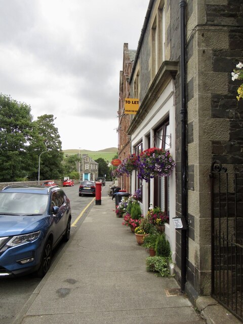
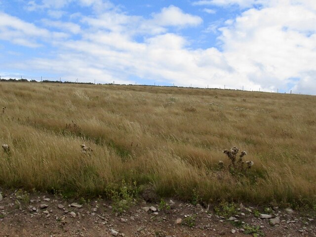
Dickson's Wood Images
Images are sourced within 2km of 55.701572/-2.8432545 or Grid Reference NT4745. Thanks to Geograph Open Source API. All images are credited.


Dickson's Wood is located at Grid Ref: NT4745 (Lat: 55.701572, Lng: -2.8432545)
Unitary Authority: The Scottish Borders
Police Authority: The Lothians and Scottish Borders
What 3 Words
///exact.riskiest.bonus. Near Lauder, Scottish Borders
Nearby Locations
Related Wikis

Stow of Wedale Town Hall
Stow of Wedale Town Hall is a municipal building in Earlston Road, Stow of Wedale, Scottish Borders, Scotland. The structure, which serves as a community...

Stow of Wedale
Stow of Wedale, or more often Stow, is a village in the Scottish Borders area of Scotland (historically Midlothian), 7 miles (11 kilometres) north of...
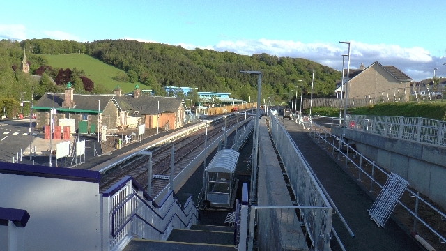
Stow railway station
Stow is a railway station on the Borders Railway, which runs between Edinburgh Waverley and Tweedbank. The station, situated 26 miles 45 chains (43 km...

Bow Castle Broch
Bow Castle is the remains of an iron-age broch near the Gala Water, in the Scottish Borders area of Scotland, in the parish of Stow. It is a scheduled...
Nearby Amenities
Located within 500m of 55.701572,-2.8432545Have you been to Dickson's Wood?
Leave your review of Dickson's Wood below (or comments, questions and feedback).