Knockie Wood

Wood, Forest in Aberdeenshire

Scotland

Knockie Wood

Mallow (Malva moschata) Mallow normally has pink flowers, but this is an unusual white variant.
Mallow (Malva moschata) Credit: Anne Burgess

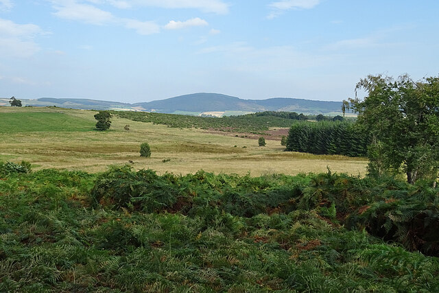
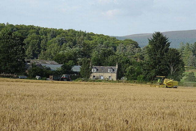
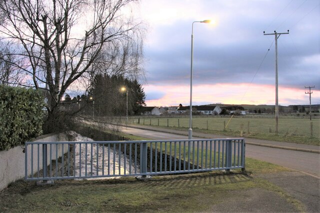
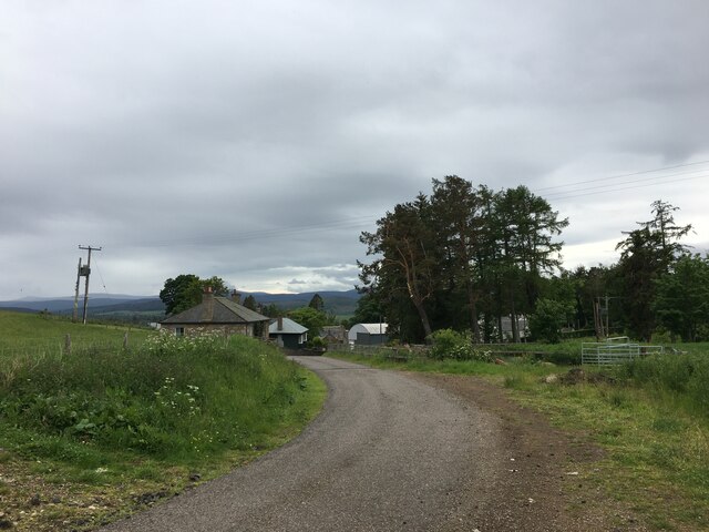
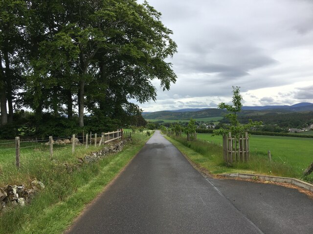
Knockie Wood is a picturesque forest located in Aberdeenshire, Scotland. Covering an area of approximately 200 hectares, it is nestled among the rolling hills and stunning landscapes of the region. The wood is situated near the small village of Torphins, making it easily accessible for both locals and tourists.

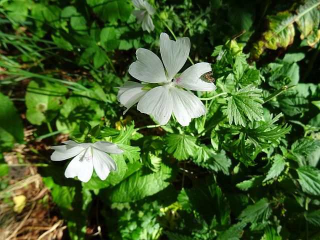
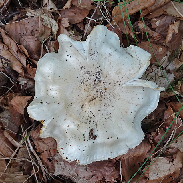
The forest is predominantly composed of a mix of broadleaf and coniferous trees, creating a diverse and vibrant ecosystem. Visitors to Knockie Wood can expect to encounter an array of tree species, including oak, birch, and pine, among others. The wood is particularly renowned for its stunning displays of bluebells during the spring season, which blanket the forest floor with a vibrant sea of color.

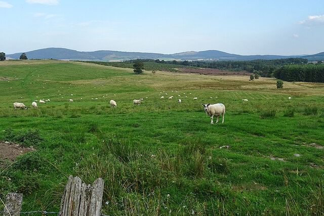
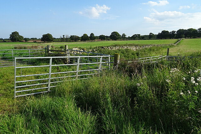
There are several walking trails that wind through the wood, offering visitors the opportunity to explore the natural beauty of the area. These trails cater to various fitness levels, ranging from leisurely strolls to more challenging hikes. Along these paths, visitors may come across native wildlife such as red squirrels, deer, and a variety of bird species, making it a haven for nature enthusiasts.

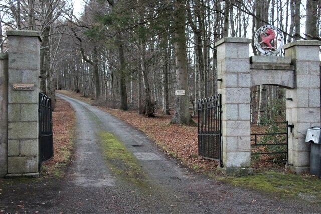
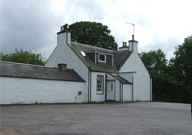
Knockie Wood also boasts a rich historical and cultural heritage. Within its bounds, there are remnants of ancient settlements and historic features, providing a glimpse into the area's past. Additionally, the wood offers a tranquil and peaceful atmosphere, making it an ideal destination for those seeking solace and relaxation in nature.

Overall, Knockie Wood in Aberdeenshire is a stunning and diverse forest that offers visitors a chance to immerse themselves in the beauty of the Scottish countryside while enjoying a range of outdoor activities.

If you have any feedback on the listing, please let us know in the comments section below.

Knockie Wood Images

Images are sourced within 2km of 57.139668/-2.8835283 or Grid Reference NJ4605. Thanks to Geograph Open Source API. All images are credited.

Mallow (Malva moschata) Mallow normally has pink flowers, but this is an unusual white variant.
Mallow (Malva moschata)
Mallow normally has pink flowers, but this is an unusual white variant.
Drummy Wood Trails A mountain bike trail comes down from the right, and crosses the path into the wood from the track along the edge of the wood.
Drummy Wood Trails
A mountain bike trail comes down from the right, and crosses the path into the wood from the track along the edge of the wood.
Fields near Tarland Perhaps not so much agricultural fields as fields of bracken.
Fields near Tarland
Perhaps not so much agricultural fields as fields of bracken.
Sheep near Braehead For once, the sheep just looked up and then got on with grazing instead of presenting the lens with a clutch of fleeing backsides. Somewhere on the far side of the grazings are various prehistoric remains including one called the Blue Cairn, which I omitted to investigate as shorts and sandals don't mix happily with bracken (ticks!) and brambles.
Sheep near Braehead
For once, the sheep just looked up and then got on with grazing instead of presenting the lens with a clutch of fleeing backsides. Somewhere on the far side of the grazings are various prehistoric remains including one called the Blue Cairn, which I omitted to investigate as shorts and sandals don't mix happily with bracken (ticks!) and brambles.
Fungus A rather fluted cap, but I don't know what kind it is.
Fungus
A rather fluted cap, but I don't know what kind it is.
Harvesting at Netherton The combine harvester was park outside the house when I first saw it, but it began to move as I approached it, providing a much better photograph.
Harvesting at Netherton
The combine harvester was park outside the house when I first saw it, but it began to move as I approached it, providing a much better photograph.
Gates and Dykes Quite a large collection of field gates where field entrances converge on the track.
Gates and Dykes
Quite a large collection of field gates where field entrances converge on the track.
Gate to Corrachree
Gate to Corrachree
Camp and caravan site at Tarland
Tarland Burn at Burnside Road
Minor road near Migvie
Minor road near Tarland
Minor road near West Davoch
Right of way to Boultenstone
Minor road near Boig
Minor road near Oldmill
Minor road through Douneside
Minor road near Tarland
Show me another place!

Knockie Wood is located at Grid Ref: NJ4605 (Lat: 57.139668, Lng: -2.8835283)

Unitary Authority: Aberdeenshire

Police Authority: North East

What 3 Words

///anguished.organic.riverside. Near Aboyne, Aberdeenshire

Nearby Locations

Knockie Hill Knockie Wood

Related Wikis

Tarland

Tarland (Gaelic: Turlann) is a village in Aberdeenshire, Scotland and is located 5 miles (8 km) northwest of Aboyne, and 30 miles (50 km) west of Aberdeen...

Tomnaverie stone circle

Tomnaverie stone circle is a recumbent stone circle set on the top of a small hill in lowland northeast Scotland. Construction started from about 2500...

Migvie Castle

Migvie Castle was a 13th-century castle to the west of Migvie, Aberdeenshire, Scotland. Its remains were listed as a scheduled monument in 2007. ��2�...

Logie Coldstone

Logie Coldstone (Scottish Gaelic: Lògaidh) is a village in Aberdeenshire, Scotland. The village lies north of the River Dee, near Tarland in the Cromar...

Nearby Amenities

Located within 500m of 57.139668,-2.8835283
Power: pole
Lat/Long: 57.1437484/-2.8807305
Power: pole
Lat/Long: 57.1431855/-2.8814255
Power: pole
Lat/Long: 57.1426213/-2.8821167
Power: pole
Lat/Long: 57.1358613/-2.8879463
Power: pole
Lat/Long: 57.1358976/-2.8864487
Power: pole
Lat/Long: 57.1362979/-2.885984
Power: pole
Lat/Long: 57.1394441/-2.8914272
Power: pole
Lat/Long: 57.1400712/-2.8911328
Power: pole
Lat/Long: 57.1407014/-2.8907602
Power: pole
Lat/Long: 57.1411824/-2.8904981
Power: pole
Lat/Long: 57.1429574/-2.8837472
Power: pole
Lat/Long: 57.1428897/-2.8833884
Power: pole
Lat/Long: 57.1427798/-2.8828671
Power: pole
Lat/Long: 57.142417/-2.8815451
Power: pole
Lat/Long: 57.1422169/-2.8809609
Power: pole
Lat/Long: 57.1420277/-2.8804044
The data included in this document is from www.openstreetmap.org. The data is made available under ODbL.

Have you been to Knockie Wood?

Leave your review of Knockie Wood below (or comments, questions and feedback).