Coldside Plantation

Wood, Forest in Roxburghshire

Scotland

Coldside Plantation

A symbolic gravestone in Ashkirk Parish Churchyard This 18th century stone, which is leaning forwards, displays the classic symbols of mortality with crossed femur bones, a horizontal hourglass and a death’s head skull. A winged soul at the top of the stone is a symbol of immortality representing the human spirit.
A symbolic gravestone in Ashkirk Parish Churchyard Credit: Walter Baxter

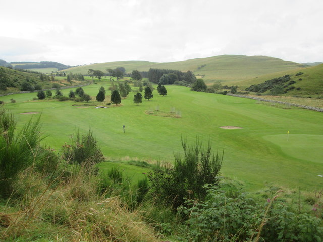
Coldside Plantation is a lush and sprawling woodland located in the picturesque region of Roxburghshire, Scotland. Spanning over several hectares, this enchanting forest exudes tranquility and natural beauty, making it a popular destination for nature enthusiasts and outdoor adventurers alike.

The plantation is primarily composed of a diverse range of trees, including native species such as oak, birch, and beech. These majestic trees coexist harmoniously, creating a dense canopy that provides shade during the summer months. The forest floor is covered with a rich carpet of moss and ferns, adding to the area's ethereal charm.

Coldside Plantation is home to a variety of wildlife, making it a haven for animal lovers and birdwatchers. Visitors may spot red squirrels scurrying through the treetops or catch a glimpse of roe deer gracefully wandering through the undergrowth. The forest also attracts a range of bird species, including woodpeckers, owls, and various songbirds.

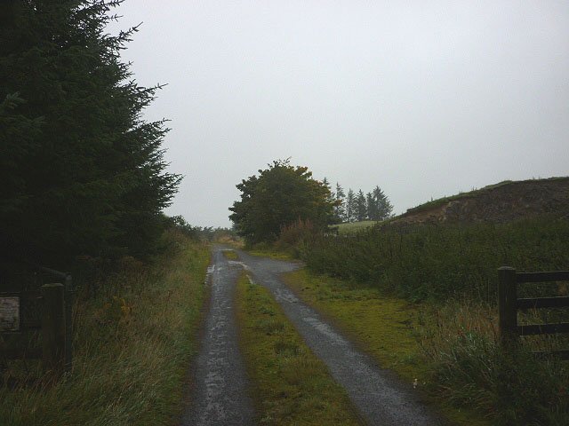
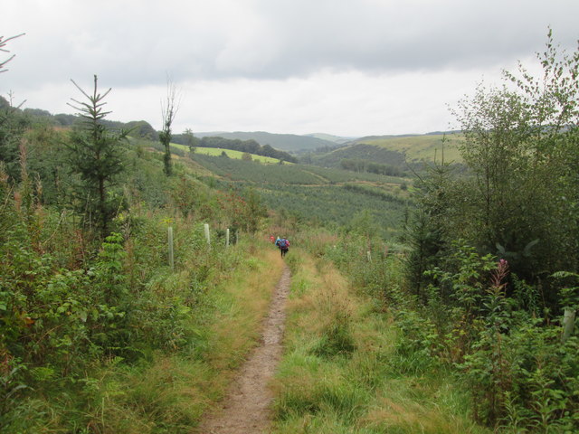
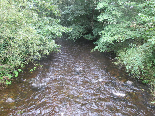
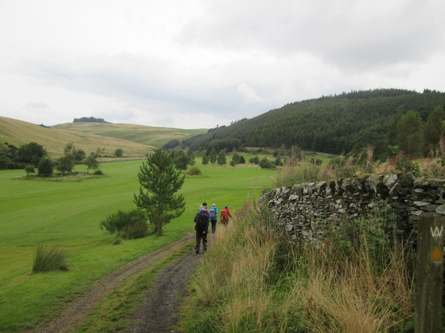
The plantation offers a network of well-maintained trails, enabling visitors to explore its scenic beauty at their own pace. These paths wind through the forest, leading to secluded clearings and hidden streams. The tranquil atmosphere and fresh air make it an ideal spot for walking, picnicking, and simply immersing oneself in nature's embrace.

Coldside Plantation is a true gem within Roxburghshire, offering a sanctuary for both flora and fauna. Its natural charm and diverse ecosystem make it a must-visit destination for those seeking solace in the beauty of the Scottish countryside.

If you have any feedback on the listing, please let us know in the comments section below.

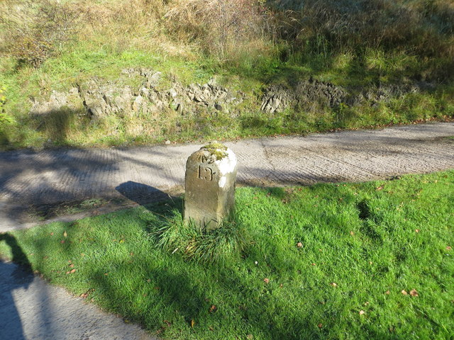
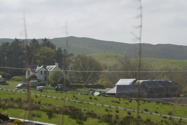
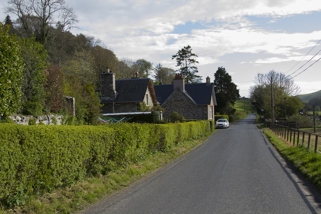
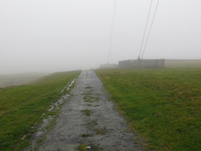
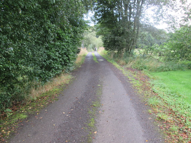
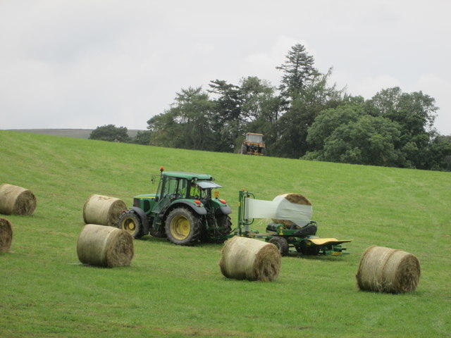
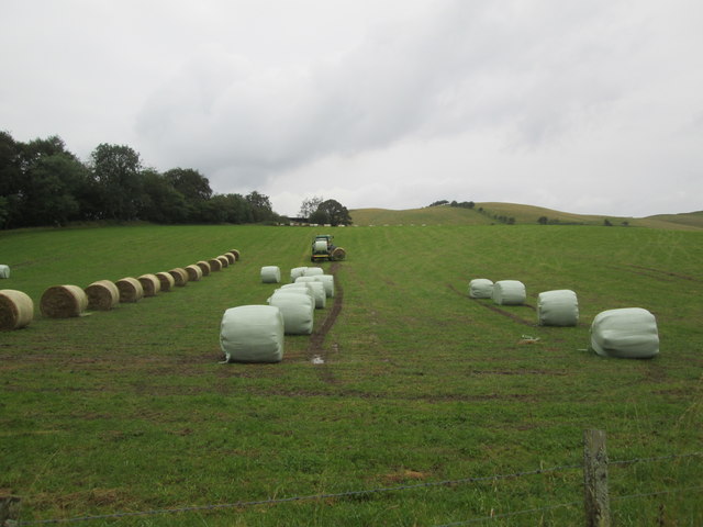
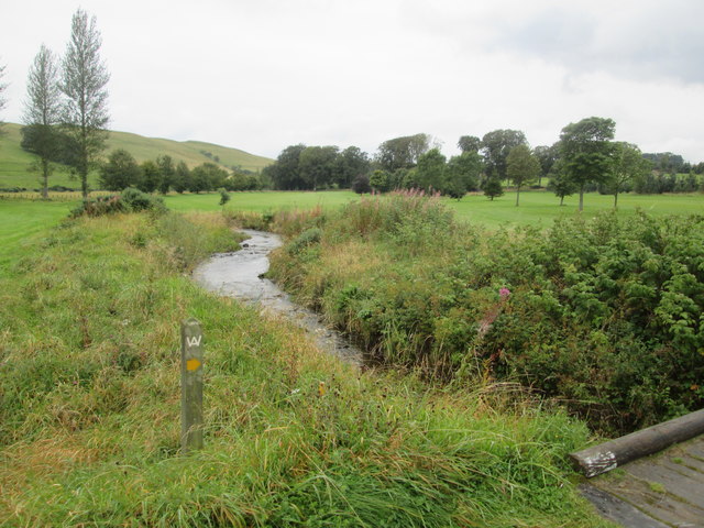
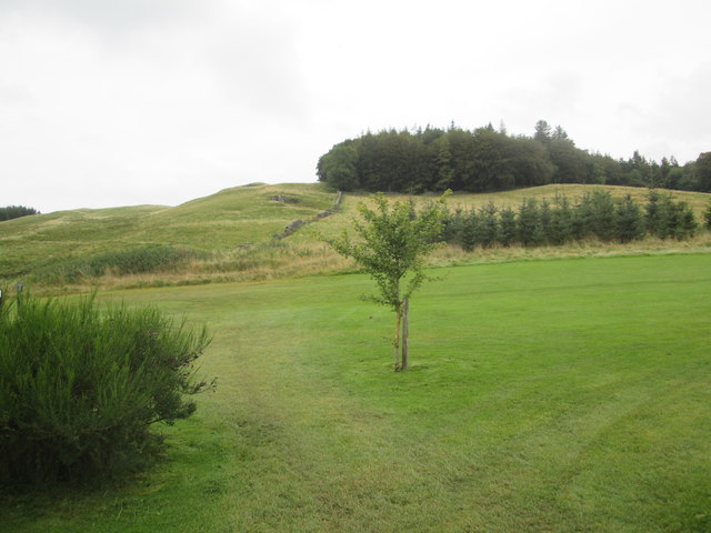
Coldside Plantation Images

Images are sourced within 2km of 55.493629/-2.853224 or Grid Reference NT4622. Thanks to Geograph Open Source API. All images are credited.

A symbolic gravestone in Ashkirk Parish Churchyard This 18th century stone, which is leaning forwards, displays the classic symbols of mortality with crossed femur bones, a horizontal hourglass and a death’s head skull. A winged soul at the top of the stone is a symbol of immortality representing the human spirit.
A symbolic gravestone in Ashkirk Parish Churchyard
This 18th century stone, which is leaning forwards, displays the classic symbols of mortality with crossed femur bones, a horizontal hourglass and a death’s head skull. A winged soul at the top of the stone is a symbol of immortality representing the human spirit.
He was only 363 when he died The inscription on this Crawford gravestone in Ashkirk Parish Churchyard is interesting and amusing because the 18th century mason has carved the age of Robert Crawford as 363 when he died. The inscription reads:

HERE LYES
JOHN CRAWFORD
LATE TENNENT IN
DRAYDIAN WHO
DIED MAY 26 1744
AGID 78

Also Robert Crawford Son
late tenant in Branksholme
Town who died Sept 7 1767
Aged 363 years

For a view of the other side of the stone, see <a href="https://www.geograph.org.uk/photo/4739479">NT4622 : A symbolic gravestone in Ashkirk Parish Churchyard</a>.
He was only 363 when he died
The inscription on this Crawford gravestone in Ashkirk Parish Churchyard is interesting and amusing because the 18th century mason has carved the age of Robert Crawford as 363 when he died. The inscription reads: HERE LYES JOHN CRAWFORD LATE TENNENT IN DRAYDIAN WHO DIED MAY 26 1744 AGID 78 Also Robert Crawford Son late tenant in Branksholme Town who died Sept 7 1767 Aged 363 years For a view of the other side of the stone, see NT4622 : A symbolic gravestone in Ashkirk Parish Churchyard.
Ordnance Survey Flush Bracket G4410 This can be found on the wall of the foundations of a demolished farm building at Ashkirktown.
For more detail see : <span class="nowrap"><a title="http://www.bench-marks.org.uk/bm17575" rel="nofollow ugc noopener" href="http://www.bench-marks.org.uk/bm17575">Link</a><img style="margin-left:2px;" alt="External link" title="External link - shift click to open in new window" src="https://s1.geograph.org.uk/img/external.png" width="10" height="10"/></span>
Ordnance Survey Flush Bracket G4410
This can be found on the wall of the foundations of a demolished farm building at Ashkirktown. For more detail see : LinkExternal link
Ordnance Survey Cut Mark with Rivet This can be found in the driveway to Dryden Stables.
For more information see : <span class="nowrap"><a title="http://www.bench-marks.org.uk/bm72387" rel="nofollow ugc noopener" href="http://www.bench-marks.org.uk/bm72387">Link</a><img style="margin-left:2px;" alt="External link" title="External link - shift click to open in new window" src="https://s1.geograph.org.uk/img/external.png" width="10" height="10"/></span>
Ordnance Survey Cut Mark with Rivet
This can be found in the driveway to Dryden Stables. For more information see : LinkExternal link
Milestone Edinburgh 43 miles (re-positioned) This milestone once stood beside the A7 at NT 475 230  but during re-alignment of the road was discarded. The owner of Dryden Stables found it in a ditch and re-positioned it on his driveway. A bit of history preserved.
Milestone Edinburgh 43 miles (re-positioned)
This milestone once stood beside the A7 at NT 475 230 but during re-alignment of the road was discarded. The owner of Dryden Stables found it in a ditch and re-positioned it on his driveway. A bit of history preserved.
A farm house and other buildings A quick shot from the car - I had not noticed the wire across the image of the farm buildings.
A farm house and other buildings
A quick shot from the car - I had not noticed the wire across the image of the farm buildings.
The edge of Ashkirk The village of Ashkirk is very spread out but does have a small concentrated group of houses near the junction with the A7. This picture was taken just on the edge of the village close to the Ale Water which is the stream / burn that runs through the village.
The edge of Ashkirk
The village of Ashkirk is very spread out but does have a small concentrated group of houses near the junction with the A7. This picture was taken just on the edge of the village close to the Ale Water which is the stream / burn that runs through the village.
Access road to Hare Moss reserve This is the old course of the nearby A7. Now it is moss-covered.
Access road to Hare Moss reserve
This is the old course of the nearby A7. Now it is moss-covered.
Track at Hare & Dunhog Moss leading away from the mast to the A7 road Looking south-westward.
Track at Hare & Dunhog Moss leading away from the mast to the A7 road
Looking south-westward.
Borders Abbeys  Way  through  Salenside  Plantation
Borders Abbeys Way through Salenside Plantation
Access  road  from  Salenside  Shiel It bridges the Ale Water then out onto a minor road
Access road from Salenside Shiel
It bridges the Ale Water then out onto a minor road
The  Ale  Water  toward  Ashkirk
The Ale Water toward Ashkirk
Wrapping  bales  of  hay  in  field  with  tractor A one man operation. From B A Way
Wrapping bales of hay in field with tractor
A one man operation. From B A Way
Wrapping  bales  of  hay  in  field  with  tractor  (2) Picks a second bale up while first is being wrapped, when wrapped dropped off the back and the second bale brought up to start wrapping, a one man operation
Wrapping bales of hay in field with tractor (2)
Picks a second bale up while first is being wrapped, when wrapped dropped off the back and the second bale brought up to start wrapping, a one man operation
Stream  through  Woll  Golf  Course The footbridge is the route of B A Way
Stream through Woll Golf Course
The footbridge is the route of B A Way
Woll  Plantation  above  Woll  Golf  Course The B A Way goes through the golf course to the Thief Road (tk)
Woll Plantation above Woll Golf Course
The B A Way goes through the golf course to the Thief Road (tk)
Borders  Abbeys  Way  through  Woll  Golf  Course The route marker is on the right by the wall
Borders Abbeys Way through Woll Golf Course
The route marker is on the right by the wall
Looking  back  from  the  Thief  Road  (tk)  over  Woll  Golf  Course
Looking back from the Thief Road (tk) over Woll Golf Course
Show me another place!

Coldside Plantation is located at Grid Ref: NT4622 (Lat: 55.493629, Lng: -2.853224)

Unitary Authority: The Scottish Borders

Police Authority: The Lothians and Scottish Borders

What 3 Words

///hang.bulk.endlessly. Near Selkirk, Scottish Borders

Related Wikis

Nearby Amenities

Located within 500m of 55.493629,-2.853224
Passing Place
Lat/Long: 55.4940984/-2.8535453
Generator Method: photovoltaic
Generator Output Electricity: yes
Generator Source: solar
Generator Type: solar_photovoltaic_panel
Power: generator
Lat/Long: 55.4935328/-2.8507751
Ford: yes
Lat/Long: 55.4953598/-2.8577487
Power: pole
Lat/Long: 55.4944178/-2.8454242
Power: pole
Lat/Long: 55.4949356/-2.8461529
Power: pole
Lat/Long: 55.4953863/-2.846843
Power: pole
Lat/Long: 55.4958429/-2.8474996
Power: pole
Lat/Long: 55.496349/-2.8482541
Power: pole
Lat/Long: 55.4960894/-2.8485837
Power: pole
Lat/Long: 55.4963505/-2.8497501
Power: pole
Lat/Long: 55.4965488/-2.8506694
Power: pole
Lat/Long: 55.4968478/-2.8520109
Power: pole
Lat/Long: 55.496702/-2.8531568
Power: pole
Lat/Long: 55.4965518/-2.8543439
Power: pole
Lat/Long: 55.4964146/-2.8555
Power: pole
Lat/Long: 55.4962673/-2.8567154
Power: pole
Lat/Long: 55.4961419/-2.8577274
Power: pole
Lat/Long: 55.4959931/-2.8589196
Power: pole
Lat/Long: 55.495875/-2.8598595
The data included in this document is from www.openstreetmap.org. The data is made available under ODbL.

Have you been to Coldside Plantation?

Leave your review of Coldside Plantation below (or comments, questions and feedback).