Cast Wood
Wood, Forest in Fife
Scotland
Cast Wood
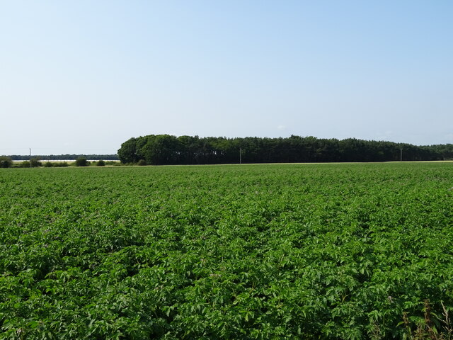
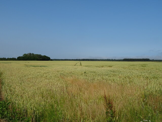
Cast Wood is a picturesque forest located in the region of Fife, Scotland. Covering an area of approximately 500 acres, this woodland is known for its natural beauty and rich biodiversity. The forest is situated amidst rolling hills and offers a tranquil escape from the bustling city life.
Cast Wood is predominantly composed of native tree species such as oak, beech, and birch, which create a dense canopy that provides shade and shelter to a wide variety of flora and fauna. The forest floor is adorned with an array of vibrant wildflowers, including bluebells and primroses, which bloom during the spring season, adding a burst of color to the landscape.
The forest is crisscrossed by a network of well-maintained walking trails, allowing visitors to explore the woodland at their own pace. These trails offer a range of difficulty levels, catering to both casual strollers and experienced hikers. Along the paths, visitors may come across small streams and ponds, adding to the overall scenic charm of the forest.
Cast Wood is not only a haven for nature enthusiasts but also serves as a habitat for various wildlife species. Squirrels, deer, and a variety of bird species can often be spotted within the forest, making it a popular destination for birdwatchers and wildlife photographers.
The forest is managed by local authorities, who ensure the preservation of its natural resources and maintain the trails for public use. With its serene atmosphere and stunning natural beauty, Cast Wood offers a delightful experience for visitors seeking a peaceful retreat in the heart of Fife.
If you have any feedback on the listing, please let us know in the comments section below.
Cast Wood Images
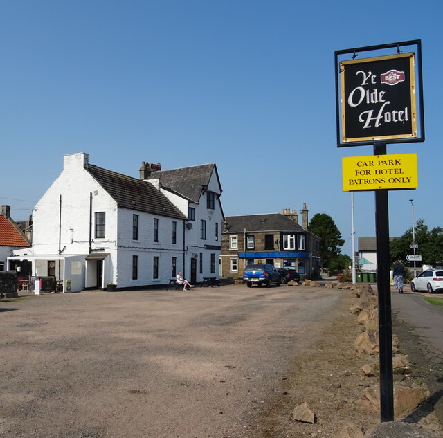
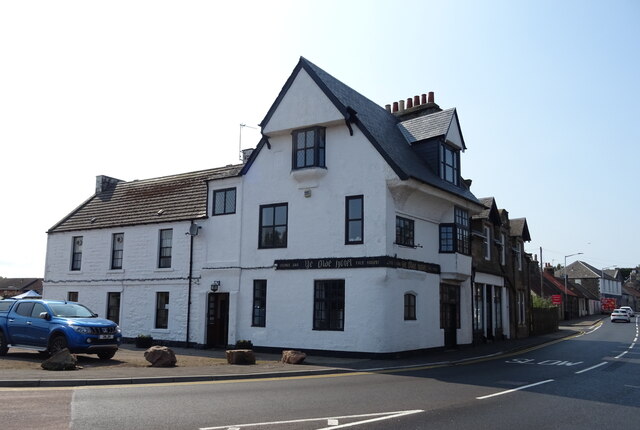
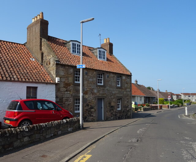
Images are sourced within 2km of 56.394873/-2.8765186 or Grid Reference NO4522. Thanks to Geograph Open Source API. All images are credited.


Cast Wood is located at Grid Ref: NO4522 (Lat: 56.394873, Lng: -2.8765186)
Unitary Authority: Fife
Police Authority: Fife
What 3 Words
///curbed.snoozing.fooling. Near Leuchars, Fife
Nearby Locations
Related Wikis
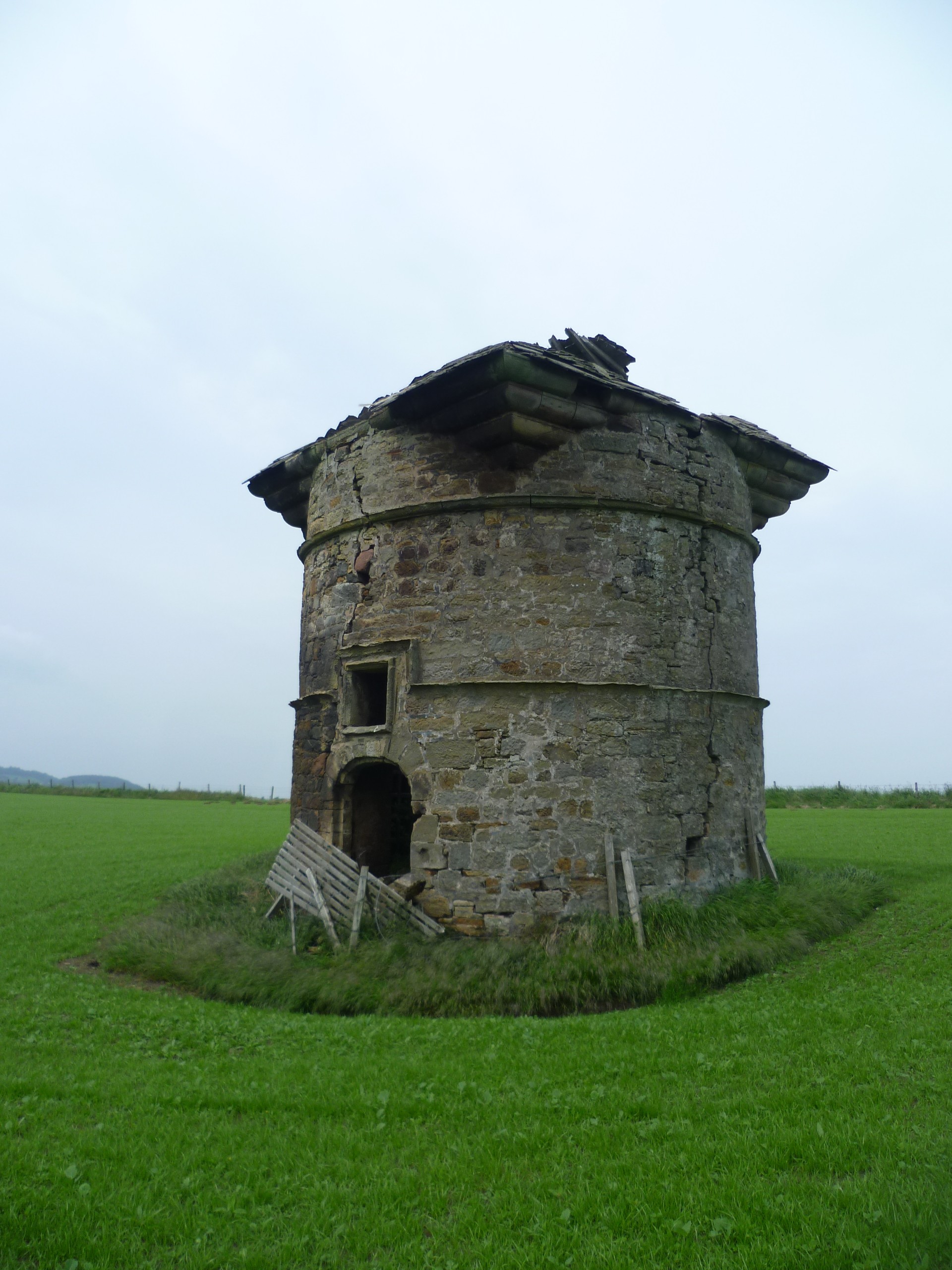
Leuchars Castle
Leuchars Castle, was a castle that was located near Leuchars, Fife, Scotland.A motte and bailey castle was built in the 12th century. The town was created...
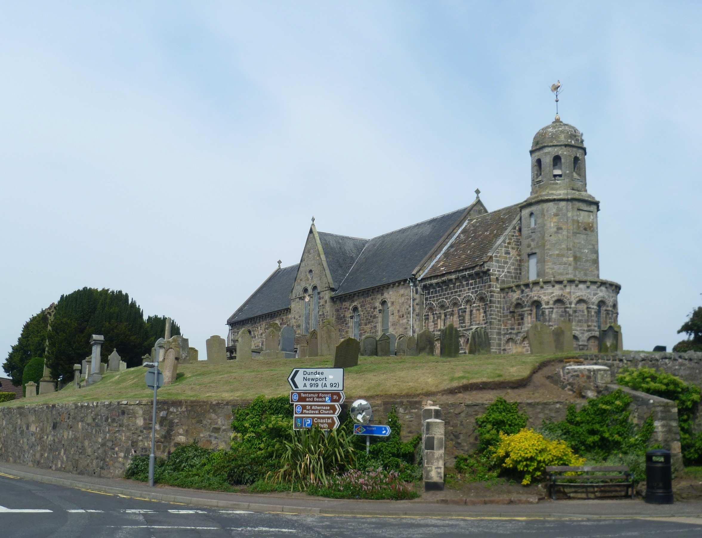
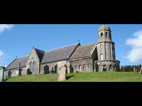
St Athernase Church
St Athernase Church is a Romanesque church located in Leuchars, Fife, Scotland. It is a Category A listed building and remains in use as a Church of Scotland...
Leuchars
Leuchars (pronounced or ; Scottish Gaelic: Luachar "rushes") is a small town and parish near the north-east coast of Fife in Scotland. The civil parish...

Leuchars (Old) railway station
Leuchars (Old) railway station served the town of Leuchars, Fife, Scotland from 1848 to 1921 on the Edinburgh and Northern Railway. == History == The station...
Related Videos

Winter Road Trip Drive With Music To Leuchars On Visit To North East Fife Scotland
Tour Scotland Winter travel video, with Scottish bagpipes music, of a morning road trip drive to Leuchars, Scottish Gaelic: Luachar ...
Road Trip Drive With Music To Leuchars On Visit To North East Fife Scotland
Tour Scotland early Autumn travel video, with Scottish music, of a road trip drive to Leuchars, Scottish Gaelic: Luachar meaning ...


RAF Leuchars Battle of Britain Airshow 1976
The Battle of Britain airshow at RAF Leuchars on the 4th September 1976 which included Les Diables Rouge from Belgium and a ...
Nearby Amenities
Located within 500m of 56.394873,-2.8765186Have you been to Cast Wood?
Leave your review of Cast Wood below (or comments, questions and feedback).