Cefn Llyfnog

Settlement in Montgomeryshire

Wales

Cefn Llyfnog

Junction of the A495 andA490
Junction of the A495 andA490 Credit: Steven Brown

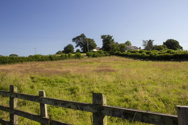
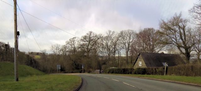
Cefn Llyfnog is a small village located in the county of Montgomeryshire, Wales. Situated in the heart of the picturesque Welsh countryside, this rural community offers a peaceful and scenic environment for its residents and visitors.

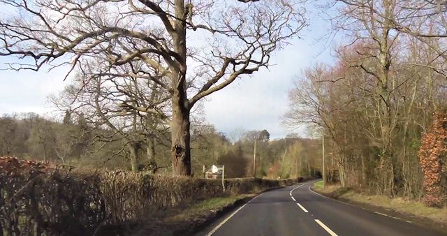
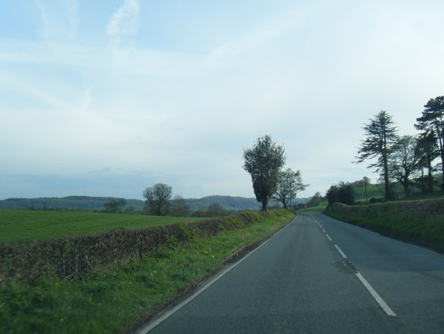
The village is surrounded by rolling hills and lush green fields, providing breathtaking views of the surrounding landscape. It is known for its tranquil atmosphere and close-knit community, making it an ideal place for those seeking a quiet and friendly environment.

Cefn Llyfnog is home to a small population, consisting mainly of families and individuals who appreciate the beauty and serenity of rural living. The village has a few amenities, including a local pub and a small convenience store, which cater to the needs of its residents.

The area is rich in history, with several historical landmarks nearby. The ancient church of St. Llyfnog, dating back to the 12th century, stands as a testament to the village's long-standing heritage. The church is known for its beautiful stained glass windows and intricate stonework.

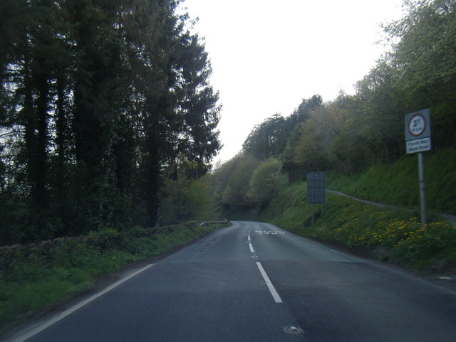
Nature enthusiasts will find plenty to explore in and around Cefn Llyfnog. The village is surrounded by picturesque walking trails and hiking routes, allowing visitors to immerse themselves in the stunning natural beauty of the area. The nearby River Severn also offers opportunities for fishing and boating.

Overall, Cefn Llyfnog is a charming and idyllic village, perfect for those looking to escape the hustle and bustle of city life and enjoy the tranquility of the Welsh countryside.

If you have any feedback on the listing, please let us know in the comments section below.
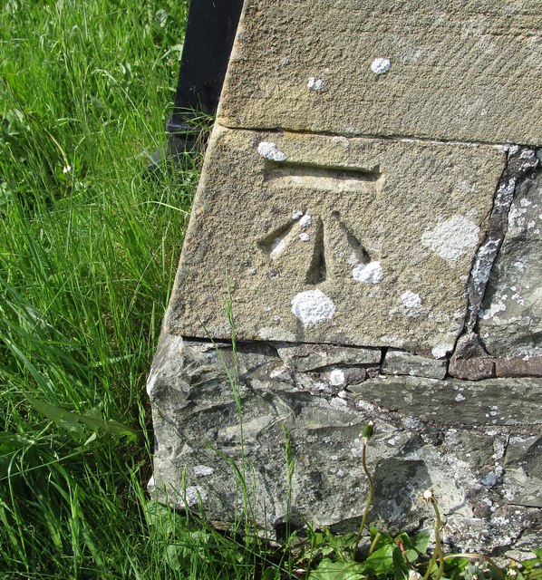
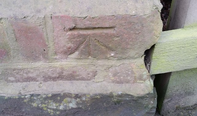
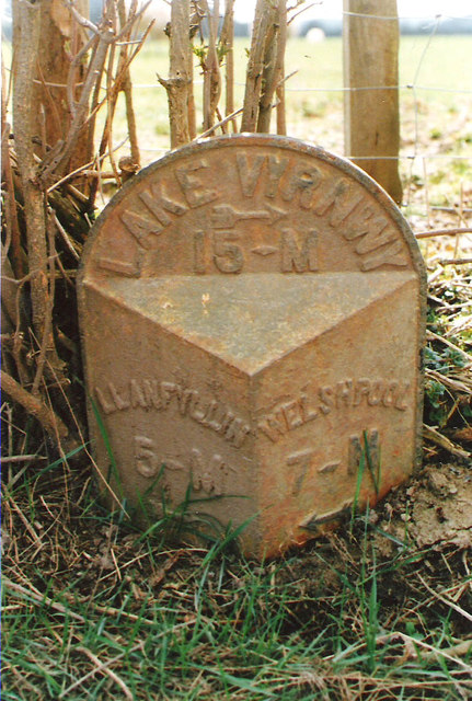
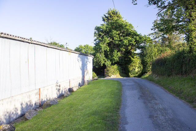
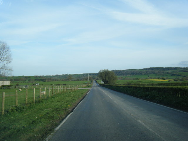
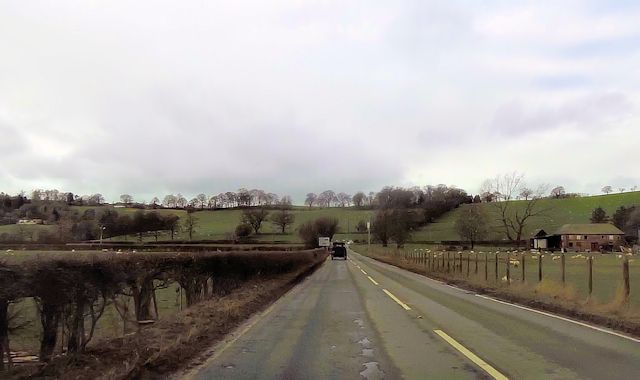
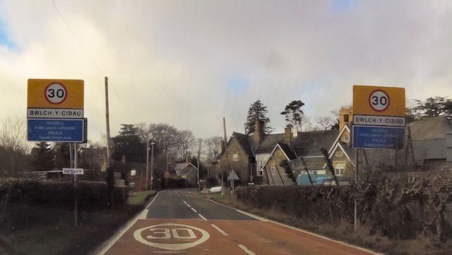
Cefn Llyfnog Images

Images are sourced within 2km of 52.752725/-3.197879 or Grid Reference SJ1917. Thanks to Geograph Open Source API. All images are credited.

Junction of the A495 andA490
Henblas Combined Harvester at work above Henblas Cottage.
Henblas
Combined Harvester at work above Henblas Cottage.
Ordnance Survey Cut Mark This OS cut mark can be found on the south face of Christ Church. It marks a point 153.374m above mean sea level.
Ordnance Survey Cut Mark
This OS cut mark can be found on the south face of Christ Church. It marks a point 153.374m above mean sea level.
Ordnance Survey Cut Mark This OS cut mark can be found on the outbuilding at The Stumble Inn. It marks a point 152.038m above mean sea level.
Ordnance Survey Cut Mark
This OS cut mark can be found on the outbuilding at The Stumble Inn. It marks a point 152.038m above mean sea level.
Old Milepost by the A490, north of Pontysgawrhyd, Meifod Parish Turner Arrow Casting by the A490, in parish of Meifod (Powys District), North of Pontysgawrhyd, in hedge, West side of road.

Inscription reads:-
: LLANFYLLIN / 5-M / {arrow} : : LAKE VYRNWY / {arrow} / 15-M : : WELSHPOOL / 7-M / {arrow} : 

Grade II listed by Cadw. Reference Number: 15992
<span class="nowrap"><a title="https://cadwpublic-api.azurewebsites.net/reports/listedbuilding/FullReport?lang=&id=15992" rel="nofollow ugc noopener" href="https://cadwpublic-api.azurewebsites.net/reports/listedbuilding/FullReport?lang=&id=15992">Link</a><img style="margin-left:2px;" alt="External link" title="External link - shift click to open in new window" src="https://s1.geograph.org.uk/img/external.png" width="10" height="10"/></span>

Surveyed

Milestone Society National ID: MOT_LFWP05.
Old Milepost by the A490, north of Pontysgawrhyd, Meifod Parish
Turner Arrow Casting by the A490, in parish of Meifod (Powys District), North of Pontysgawrhyd, in hedge, West side of road. Inscription reads:- : LLANFYLLIN / 5-M / {arrow} : : LAKE VYRNWY / {arrow} / 15-M : : WELSHPOOL / 7-M / {arrow} : Grade II listed by Cadw. Reference Number: 15992 LinkExternal link Surveyed Milestone Society National ID: MOT_LFWP05.
New Buildings Farm Modern and vernacular farm buildings at New Buildings Farm
New Buildings Farm
Modern and vernacular farm buildings at New Buildings Farm
Penllyn Farm Modern farm building at Penllyn Farm
Penllyn Farm
Modern farm building at Penllyn Farm
A495 near Fferm
A495 near Fferm
A495 nearing the A490 junction
A490 near Ystym Colwyn farm
A490 at Ystum Colwyn A495 junction ahead
A490 at Ystum Colwyn
A495 junction ahead
A490 junction from A495
Entering Bwlch-y-Cibau
Leaving Bwlch-y-Cibau on A490
Start of footpath west of Bwlch-y-Cibau
The Stumble Inn, Bwlch-y-cibau Nice and very popular roadside eatery and pub.
The Stumble Inn, Bwlch-y-cibau
Nice and very popular roadside eatery and pub.
A495 near Vron Vyrnwy
A495 near Godor
A495 near Godor
Show me another place!

Cefn Llyfnog is located at Grid Ref: SJ1917 (Lat: 52.752725, Lng: -3.197879)

Unitary Authority: Powys

Police Authority: Dyfed Powys

Also known as: Cefn-llyfnog

What 3 Words

///oaks.behind.breaches. Near Llanfechain, Powys

Related Wikis

Bwlch-y-cibau

Bwlch-y-Cibau also known as the "pass of the husks" in English, is a small village located between Llanfyllin and Welshpool. It is situated on the A490...

Bryngwyn Halt railway station

Bryngwyn Halt railway station is a disused station that was on the Llanfyllin Branch of the Cambrian Railways. It served the villages of Bwlch-y-cibau...

Llanfechain

Llanfechain is a village and community in Powys, Wales, on the B4393 road between Llanfyllin and Llansantffraid-ym-Mechain. Historically it belonged to...

Llanfechain railway station

Llanfechain railway station is a former station in Llanfechain, Powys, Wales. The station opened in 1865 and closed in 1965. The station site is now a...

Nearby Amenities

Located within 500m of 52.752725,-3.197879
Place: farm
Lat/Long: 52.7508065/-3.1997358
Direction: SSE
Generator Method: photovoltaic
Generator Output Electricity: yes
Generator Solar Modules: 20
Generator Source: solar
Generator Type: solar_photovoltaic_panel
Location: roof
Power: generator
Lat/Long: 52.7513536/-3.1994154
Ford: yes
Lat/Long: 52.7503827/-3.193277
The data included in this document is from www.openstreetmap.org. The data is made available under ODbL.

Have you been to Cefn Llyfnog?

Leave your review of Cefn Llyfnog below (or comments, questions and feedback).