Chance Inn Strip
Wood, Forest in East Lothian
Scotland
Chance Inn Strip

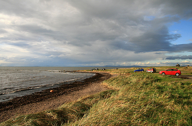
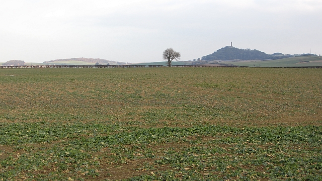
Chance Inn Strip is a charming woodland area located in East Lothian, Scotland. Situated near the village of Pencaitland, this woodland strip offers a tranquil escape from the hustle and bustle of everyday life.
Covering an area of approximately 10 hectares, Chance Inn Strip is primarily composed of a mix of native trees, including oak, beech, and birch. The dense canopy created by these trees provides a cool and shaded environment, making it an ideal spot for a leisurely stroll or a peaceful picnic.
The woodland is intersected by a network of well-maintained footpaths, enabling visitors to explore its natural beauty at their own pace. These paths are also suitable for wheelchair users and families with young children, making it a family-friendly destination.
Chance Inn Strip is home to a diverse range of wildlife. Many species of birds, including woodpeckers, thrushes, and tits, can be spotted flitting among the trees. Squirrels are a common sight, busily gathering food for the winter months. The woodland floor is carpeted with a variety of wildflowers, adding splashes of color to the surroundings.
For those interested in local history, Chance Inn Strip has a fascinating past. It was once part of an ancient forest that covered the surrounding area centuries ago. Remnants of this history can still be found, with occasional glimpses of old stone walls and ruins hidden within the woodland.
Overall, Chance Inn Strip offers visitors a peaceful and enchanting experience, allowing them to connect with nature and enjoy the beauty of East Lothian's woodlands.
If you have any feedback on the listing, please let us know in the comments section below.
Chance Inn Strip Images
Images are sourced within 2km of 55.983721/-2.8725457 or Grid Reference NT4577. Thanks to Geograph Open Source API. All images are credited.


Chance Inn Strip is located at Grid Ref: NT4577 (Lat: 55.983721, Lng: -2.8725457)
Unitary Authority: East Lothian
Police Authority: The Lothians and Scottish Borders
What 3 Words
///hurls.exotic.edicts. Near Longniddry, East Lothian
Nearby Locations
Related Wikis
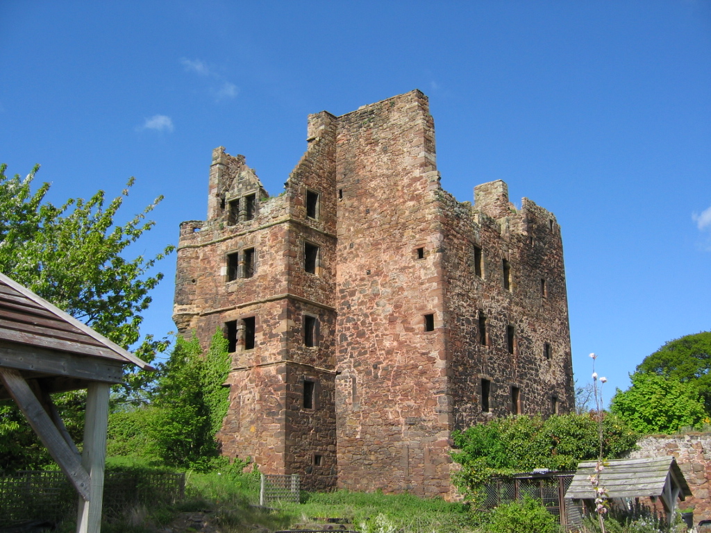
Redhouse Castle
Redhouse Castle is a ruined tower house castle, 2 km east of Longniddry, East Lothian, Scotland, UK, on the B1377, close to Spittal. The castle designated...

Spittal, East Lothian
Spittal is a hamlet or small village in East Lothian, Scotland, UK, on the B1377, east of Longniddry, south-south-west of Aberlady and to the west of Garleton...

Longniddry railway station
Longniddry railway station is located at the southeast corner of the coastal village of Longniddry, East Lothian, Scotland. The station is on the East...

Gosford House
Gosford House is a neoclassical country house around 2 miles (3 km) northeast of Longniddry in East Lothian, Scotland, on the A198 Aberlady Road, in 5...
Have you been to Chance Inn Strip?
Leave your review of Chance Inn Strip below (or comments, questions and feedback).