Brighty Wood

Wood, Forest in Angus

Scotland

Brighty Wood

Chapel Road at Dodd Cottage Looking northward.
Chapel Road at Dodd Cottage Credit: Peter Wood

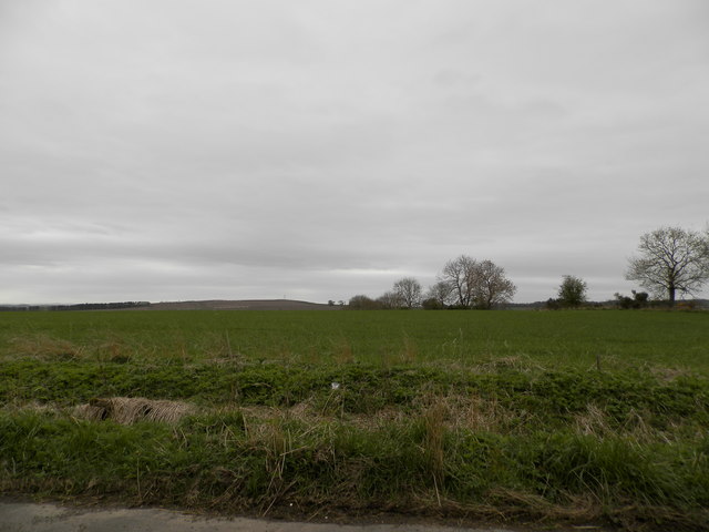
Brighty Wood is a stunning woodland located in Angus, Scotland. Covering an area of approximately 100 acres, it is a designated Site of Special Scientific Interest (SSSI) due to its rich biodiversity and historical significance. The forest is situated on the southern slopes of the Angus Glens, near the village of Kirkton of Glenisla.

The woodland is predominantly made up of native broadleaf trees, including oak, birch, and rowan, creating a diverse and vibrant ecosystem. The forest floor is carpeted with a variety of wildflowers, such as bluebells and primroses, adding bursts of color to the surroundings.

Brighty Wood is home to an array of wildlife, including red squirrels, roe deer, and a wide range of bird species. It is particularly known for its population of wood ants, which create large anthills and play a crucial role in the forest's ecosystem.

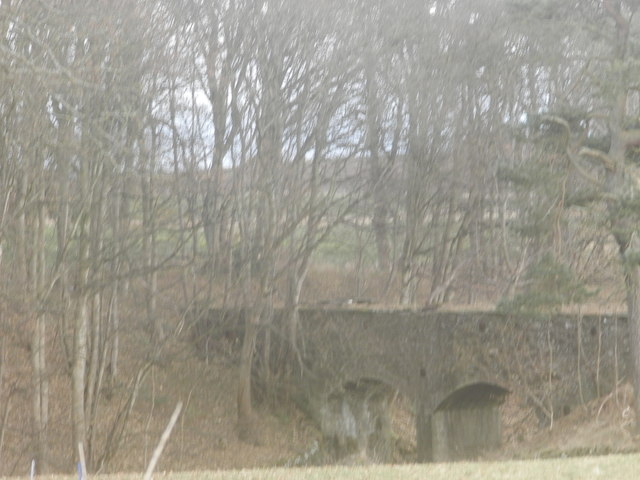
In addition to its natural beauty, Brighty Wood also holds historical significance. The remains of a medieval chapel, dedicated to St. Bride, are nestled within the woodland. This chapel served as a place of worship for the local community for centuries before falling into ruin.

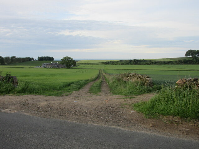
The forest offers a network of well-maintained trails, allowing visitors to explore its enchanting beauty on foot. It provides a tranquil escape for nature lovers, hikers, and photographers, offering breathtaking views and an opportunity to connect with the natural world. Whether one is seeking a peaceful walk or a chance to immerse themselves in Scotland's rich history, Brighty Wood is a must-visit destination in Angus.

If you have any feedback on the listing, please let us know in the comments section below.
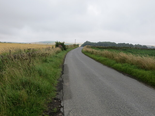
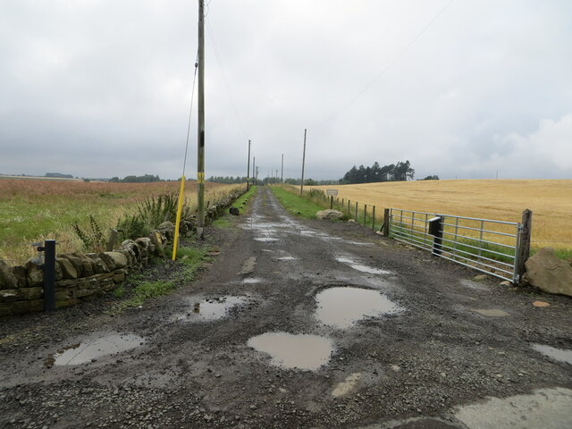
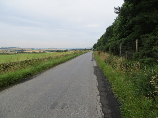
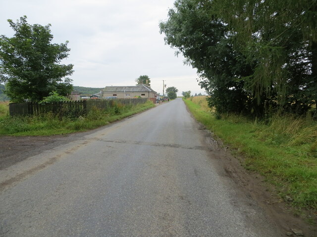
Brighty Wood Images

Images are sourced within 2km of 56.528184/-2.9040455 or Grid Reference NO4437. Thanks to Geograph Open Source API. All images are credited.

Chapel Road at Dodd Cottage Looking northward.
Chapel Road at Dodd Cottage
Looking northward.
Track through arable fields giving access to West Denside Looking eastward.
Track through arable fields giving access to West Denside
Looking eastward.
Chapel Road near Gagie Looking northward.
Chapel Road near Gagie
Looking northward.
Track through arable fields giving access to Easterton of Gagie Looking north-westward.
Track through arable fields giving access to Easterton of Gagie
Looking north-westward.
Minor road near to Woodside Looking north-westward.
Minor road near to Woodside
Looking north-westward.
Minor road approaching Houletnook Looking southward. The spelling at the location is Houletneuk.
Minor road approaching Houletnook
Looking southward. The spelling at the location is Houletneuk.
Ordnance Survey Cut Mark This mark can be found on a former gatepost at the track entrance to West Denside.
The recorded details give a height of 155.958 metres above sea level.
For more detail see : <span class="nowrap"><a title="https://www.bench-marks.org.uk/bm162193" rel="nofollow ugc noopener" href="https://www.bench-marks.org.uk/bm162193">Link</a><img style="margin-left:2px;" alt="External link" title="External link - shift click to open in new window" src="https://s1.geograph.org.uk/img/external.png" width="10" height="10"/></span>
Ordnance Survey Cut Mark
This mark can be found on a former gatepost at the track entrance to West Denside. The recorded details give a height of 155.958 metres above sea level. For more detail see : LinkExternal link
Farmland at Woodside
Aqueduct in West Wellbank Wood
Farmland on the lower slopes of Lorns Hill
Field to the west of Wellbank Looking north-westwards over a field to the west of Wellbank.
Field to the west of Wellbank
Looking north-westwards over a field to the west of Wellbank.
Covered fields near Gagie Looking north-westwards over a covered field near Gagie, with Craigowl Hill and the Angus Transmitter on the horizon to the left.
Covered fields near Gagie
Looking north-westwards over a covered field near Gagie, with Craigowl Hill and the Angus Transmitter on the horizon to the left.
Track to West Mains of Gagie Old track heading southwards to the West Mains of Gagie.
Track to West Mains of Gagie
Old track heading southwards to the West Mains of Gagie.
Murroes War Memorial The Murroes War Memorial, situated on the C6 (Angus) road between Westhall Terrace and Duntrune.
Murroes War Memorial
The Murroes War Memorial, situated on the C6 (Angus) road between Westhall Terrace and Duntrune.
Names on the Murroes War Memorial Close up of the inscription and names on the Murroes War Memorial.
Names on the Murroes War Memorial
Close up of the inscription and names on the Murroes War Memorial.
Grassland, Gagie Off Chapel Road.
Grassland, Gagie
Off Chapel Road.
Farm track, Gagie
Farm track, Gagie
Chapel Road Towards Wellbank.
Chapel Road
Towards Wellbank.
Show me another place!

Brighty Wood is located at Grid Ref: NO4437 (Lat: 56.528184, Lng: -2.9040455)

Unitary Authority: Angus

Police Authority: Tayside

What 3 Words

///agenda.input.chief. Near Monifieth, Angus

Nearby Locations

Brighty Wood

Related Wikis

Bucklerheads

Bucklershead is a village in Angus, Scotland. It lies approximately three miles north of Monifieth, on the B978 road. == References ==

Gagie railway station

Gagie Halt railway station was a railway halt in Scotland, on the Dundee and Forfar direct line, built by the London, Midland and Scottish Railway. It...

Kellas, Angus

Kellas is a village in Angus, Scotland. It lies approximately two miles north of Dundee, on the B978 road. == Local Bus Services in the Area == Headquartered...

Wellbank

Wellbank is a village in Angus, Scotland. It lies approximately three miles north of Dundee, on the B978 road. == Local Bus Services in the Area == Based...

Nearby Amenities

Located within 500m of 56.528184,-2.9040455
Design: barrel
Power: tower
Lat/Long: 56.5297069/-2.9038278
Design: barrel
Power: tower
Lat/Long: 56.5281887/-2.9080625
Design: barrel
Power: tower
Lat/Long: 56.5309066/-2.8986235
Sidlaw View
Place: isolated_dwelling
Lat/Long: 56.5269685/-2.9072223
Gagie
Place: hamlet
Lat/Long: 56.5268146/-2.898768
Power: pole
Lat/Long: 56.5281003/-2.8966922
Power: pole
Lat/Long: 56.5284536/-2.8978426
Power: pole
Lat/Long: 56.5285355/-2.8981485
Power: pole
Lat/Long: 56.5287457/-2.8988534
Power: pole
Lat/Long: 56.5290086/-2.8997578
Power: pole
Lat/Long: 56.5292616/-2.9005846
Power: pole
Lat/Long: 56.5295269/-2.9015111
Power: pole
Lat/Long: 56.5294927/-2.9028478
Power: pole
Lat/Long: 56.5303441/-2.9101016
Power: pole
Lat/Long: 56.5301657/-2.9087584
Power: pole
Lat/Long: 56.529986/-2.9074572
Power: pole
Lat/Long: 56.5298331/-2.9063777
Power: pole
Lat/Long: 56.5296889/-2.9053248
Power: pole
Lat/Long: 56.530684/-2.9074084
Power: pole
Lat/Long: 56.5311351/-2.9073663
Power: pole
Lat/Long: 56.5317304/-2.9073264
Power: pole
Lat/Long: 56.5323073/-2.907291
Power: pole
Lat/Long: 56.5318282/-2.9071823
Power: pole
Lat/Long: 56.5317585/-2.9062004
Power: pole
Lat/Long: 56.5316802/-2.9051142
Power: pole
Lat/Long: 56.5316179/-2.9041323
The data included in this document is from www.openstreetmap.org. The data is made available under ODbL.

Have you been to Brighty Wood?

Leave your review of Brighty Wood below (or comments, questions and feedback).