Bog Plantation
Wood, Forest in Roxburghshire
Scotland
Bog Plantation

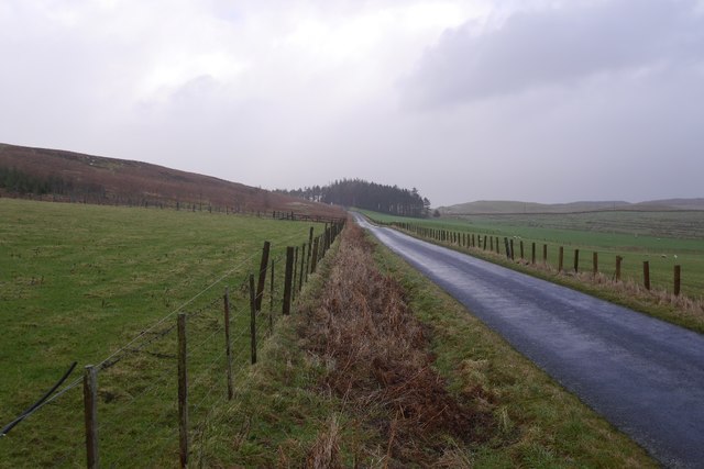
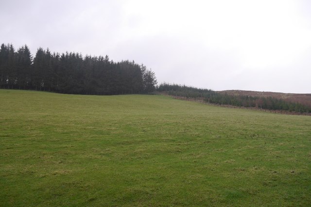
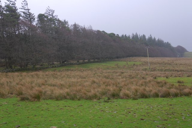
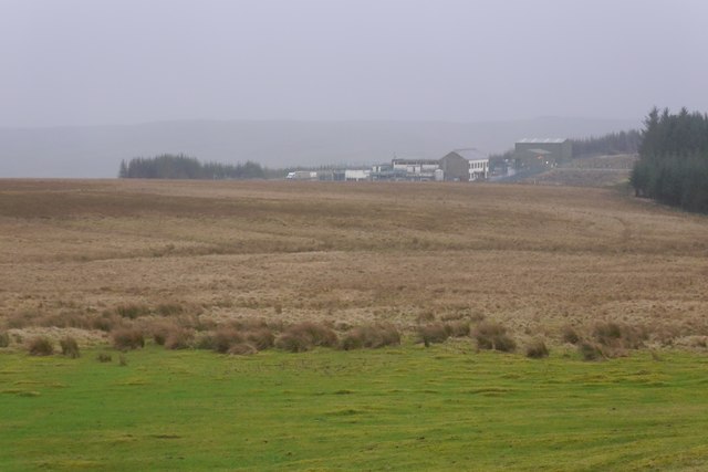
Bog Plantation is a picturesque woodland located in the county of Roxburghshire, Scotland. It is situated in the southern part of the country, near the village of Hawick. Covering an area of approximately 100 hectares, the plantation is renowned for its diverse range of flora and fauna, making it a popular destination for nature enthusiasts and outdoor enthusiasts alike.
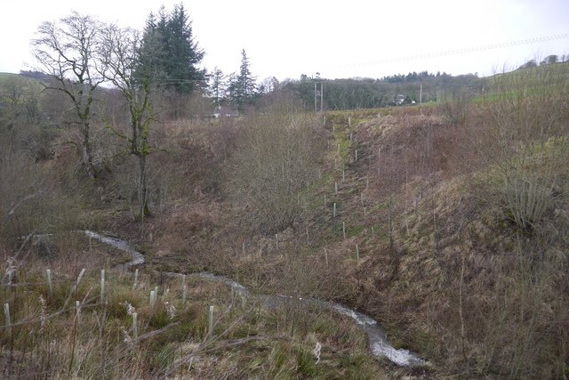
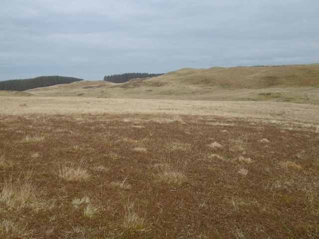
The woodland primarily consists of boggy terrain, characterized by wet and marshy ground conditions. As a result, it supports a unique ecosystem that is home to a variety of plant and animal species that thrive in such environments. This includes an array of rare and protected species, such as bog cotton, sphagnum moss, and sundew plants. Additionally, the plantation provides a vital habitat for different bird species, including the iconic curlew and lapwing.
Visitors to Bog Plantation can enjoy a network of well-maintained walking trails that meander through the woodland, offering opportunities to explore its natural beauty and observe the local wildlife. The trails vary in length and difficulty, catering to both casual strollers and avid hikers. Interpretive signage along the way provides educational information about the plantation's ecology, ensuring a truly immersive experience for visitors.
Bog Plantation is also a valuable site for conservation efforts, with ongoing initiatives aimed at restoring and preserving its unique wetland habitat. These projects include tree planting, habitat restoration, and the establishment of protective measures to safeguard the area's delicate ecosystem.
Overall, Bog Plantation offers a tranquil and captivating experience for nature lovers, showcasing the remarkable biodiversity of Scotland's woodlands and serving as an important conservation site in Roxburghshire.
If you have any feedback on the listing, please let us know in the comments section below.
Bog Plantation Images
Images are sourced within 2km of 55.433466/-2.8926516 or Grid Reference NT4315. Thanks to Geograph Open Source API. All images are credited.


Bog Plantation is located at Grid Ref: NT4315 (Lat: 55.433466, Lng: -2.8926516)
Unitary Authority: The Scottish Borders
Police Authority: The Lothians and Scottish Borders
What 3 Words
///pedicure.frog.tiny. Near Hawick, Scottish Borders
Related Wikis

Roberton, Scottish Borders
Roberton is a small village in the Scottish Borders area of Scotland, on the B711 and near to the A7, 5 miles (8 kilometres) from Hawick, 22 mi (35 km...

Harden Castle
Harden Castle is a 16th century tower house, about 3.5 miles (5.6 km) west of Hawick, Scottish Borders. It is alternatively known as Harden House or Harden...

Alemoor Loch
Alemoor Loch, also known as Alemoor Reservoir, is a small reservoir in the Scottish Borders area of Scotland. It is situated on the Ale Water, 10 kilometres...

Burnfoot, Roberton
Burnfoot (Scottish Gaelic: Bun na h-Aibhne) is a hamlet in the Scottish Borders area of Scotland, close to Roberton, by the Borthwick Water. The nearest...

Borthwick Water
The Borthwick Water (Border Scots: Borthwick Witter) is a river in the Scottish Borders area of Scotland, and a tributary of the River Teviot. The Aithouse...

Branxholme Castle
Branxholme Castle is a five-storey tower at Branxholme, about 3 miles south-west of Hawick in the Borders region of Scotland. == History == The present...

Newmill-on-Teviot
Newmill-on-Teviot, commonly called Newmill, is a hamlet in the Scottish Borders, 7 kilometres (4.3 mi) south of Hawick on the River Teviot. The remains...

Branxholme
Branxholme is a hamlet in the Scottish Borders area of Scotland, overlooking the River Teviot, three miles southwest of Hawick, on the A7 road to Langholm...
Nearby Amenities
Located within 500m of 55.433466,-2.8926516Have you been to Bog Plantation?
Leave your review of Bog Plantation below (or comments, questions and feedback).