Egg Plantation

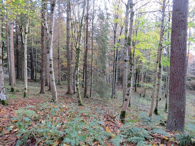
Wood, Forest in Selkirkshire

Scotland

Egg Plantation

Minor road, Middlestead
Minor road, Middlestead Credit: Richard Webb

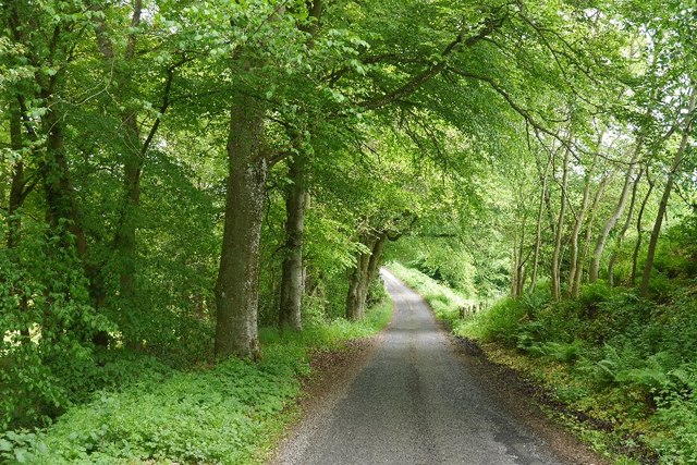
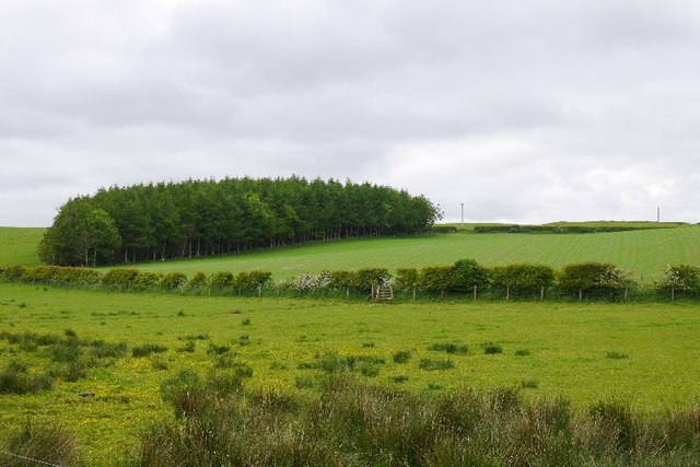
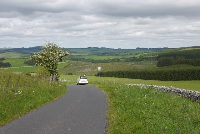
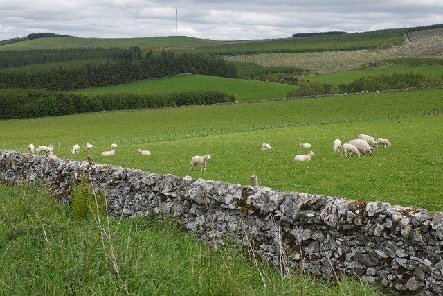
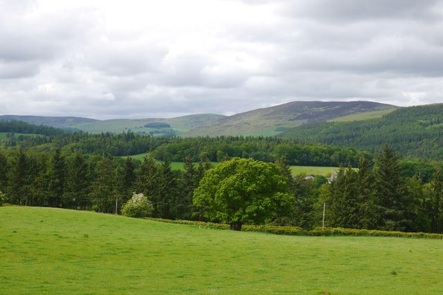
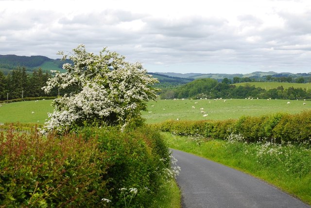
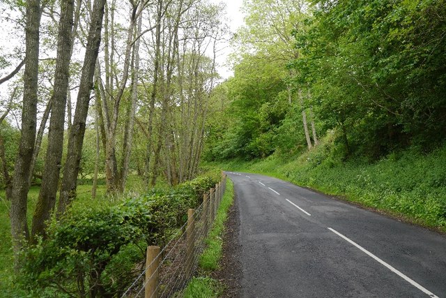
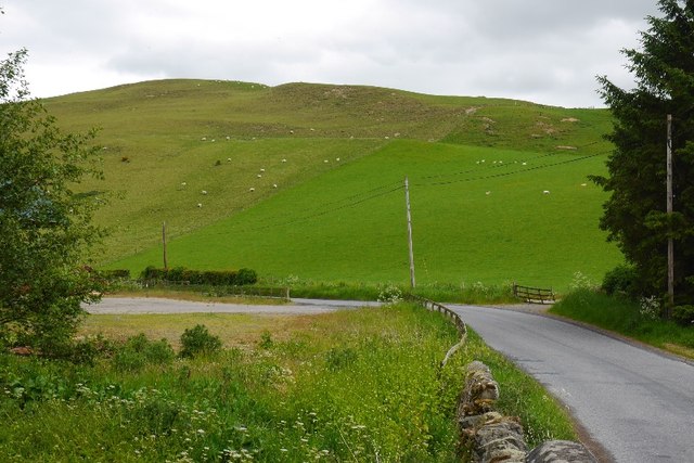
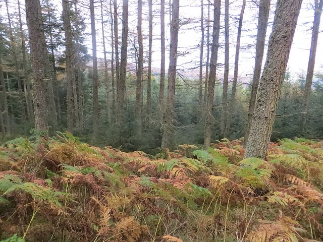
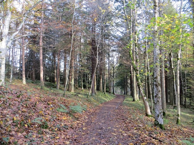
Egg Plantation in Selkirkshire is a sprawling forested area located in the heart of the Scottish Borders. The plantation is known for its dense woodlands and diverse ecosystem, making it a popular destination for hikers, nature enthusiasts, and bird watchers.

The forest is home to a variety of tree species, including oak, beech, and pine, providing a lush and scenic backdrop for visitors to explore. The dense vegetation also supports a wide range of wildlife, including deer, foxes, and numerous bird species.

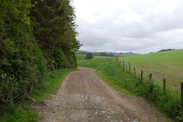
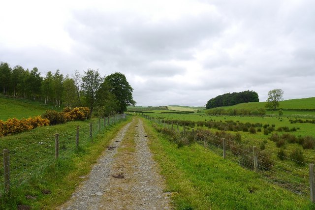
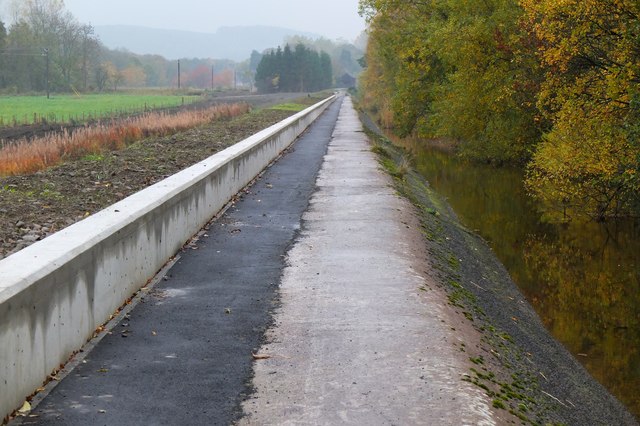
Trails wind through the forest, offering visitors the opportunity to immerse themselves in the natural beauty of the area. Along the way, hikers may encounter babbling brooks, tranquil ponds, and picturesque clearings perfect for a picnic or a moment of quiet reflection.

Egg Plantation is a peaceful retreat from the hustle and bustle of city life, offering visitors a chance to reconnect with nature and enjoy the tranquility of the forest. Whether you are looking for a challenging hike, a leisurely stroll, or simply a peaceful place to unwind, Egg Plantation in Selkirkshire has something to offer for everyone.

If you have any feedback on the listing, please let us know in the comments section below.

Egg Plantation Images

Images are sourced within 2km of 55.534395/-2.8951113 or Grid Reference NT4327. Thanks to Geograph Open Source API. All images are credited.

Minor road, Middlestead
Farm road, Middlestead
Small wood, Middlestead
Farm road, Middlestead
Burn crossing, Middlestead
Woodland edge
Woodland edge
Sitka spruce plantation
Minor road, Hartwoodmyres
Sheep, Hartwoodmyres
View over Carterhaugh Across the Ettrick towards heather covered hills above Bowhill woods.
View over Carterhaugh
Across the Ettrick towards heather covered hills above Bowhill woods.
The road from Woll Rig A hilly road, beloved of roadies, links Ashkirk and Ettrick Dale.
The road from Woll Rig
A hilly road, beloved of roadies, links Ashkirk and Ettrick Dale.
B7009 The Ettrick road passing beneath the steep and wooded Howden Bank. There is a lade amongst the alders on the flat side of the road.
B7009
The Ettrick road passing beneath the steep and wooded Howden Bank. There is a lade amongst the alders on the flat side of the road.
Howden Hill A small steep hill with thin soils above Howden.
Howden Hill
A small steep hill with thin soils above Howden.
Bowhill woodlands The northern side of Pernassie Hill.
Bowhill woodlands
The northern side of Pernassie Hill.
Path, Bowhill woods
Path, Bowhill woods
Woodland, Bowhill Mixed woodland at the foot of Pernassie Hill.
Woodland, Bowhill
Mixed woodland at the foot of Pernassie Hill.
Flood defence at Philiphaugh mill lade A new flood defence wall alongside the mill lade from Philiphaugh to Selkirk.
Flood defence at Philiphaugh mill lade
A new flood defence wall alongside the mill lade from Philiphaugh to Selkirk.
Selkirk Flood Prevention Scheme work at Philiphaugh Traffic lights are in place while a low concrete wall is being constructed at a field boundary with the A708.
Selkirk Flood Prevention Scheme work at Philiphaugh
Traffic lights are in place while a low concrete wall is being constructed at a field boundary with the A708.
Show me another place!

Egg Plantation is located at Grid Ref: NT4327 (Lat: 55.534395, Lng: -2.8951113)

Unitary Authority: The Scottish Borders

Police Authority: The Lothians and Scottish Borders

What 3 Words

///upholding.walnuts.union. Near Selkirk, Scottish Borders

Nearby Locations

Egg Plantation

Related Wikis

Bowhill, Scottish Borders

Bowhill is a village off the A708, in the Scottish Borders area of Scotland, near Selkirk, by the Yarrow Water Other places nearby include Bowhill House...

Carterhaugh

Carterhaugh is a wood and farm near the confluence of the Yarrow Water and the Ettrick Water near Selkirk in the Scottish Borders. This real location...

Battle of Philiphaugh

The Battle of Philiphaugh was fought on 13 September 1645 during the Wars of the Three Kingdoms near Selkirk in the Scottish Borders. The Royalist army...

Philiphaugh

Philiphaugh is a village by the Yarrow Water, on the outskirts of Selkirk, in the Scottish Borders. Places nearby include Bowhill, Broadmeadows, the Ettrick...

Nearby Amenities

Located within 500m of 55.534395,-2.8951113
Carterhaugh
Place: locality
Lat/Long: 55.5322132/-2.8945101
Power: pole
Lat/Long: 55.5319131/-2.9009858
Power: pole
Lat/Long: 55.5319071/-2.8994237
Power: pole
Lat/Long: 55.5319868/-2.8973865
Power: pole
Lat/Long: 55.5322248/-2.8955785
Power: pole
Lat/Long: 55.5324568/-2.8939008
Power: pole
Lat/Long: 55.5329054/-2.8930787
Power: pole
Lat/Long: 55.5332516/-2.8924901
Power: pole
Lat/Long: 55.5336145/-2.8918425
Power: pole
Lat/Long: 55.5342891/-2.8906358
Power: pole
Lat/Long: 55.5348982/-2.8893407
Power: pole
Lat/Long: 55.5354039/-2.8883252
The data included in this document is from www.openstreetmap.org. The data is made available under ODbL.

Have you been to Egg Plantation?

Leave your review of Egg Plantation below (or comments, questions and feedback).