Woodside Plantation

Wood, Forest in Aberdeenshire

Scotland

Woodside Plantation

Turning area for lorries
Turning area for lorries Credit: Steven Brown

Woodside Plantation is a picturesque forest located in Aberdeenshire, Scotland. Covering an area of approximately 500 hectares, it is known for its stunning natural beauty and rich wildlife.

The plantation primarily consists of a diverse range of trees, including oak, beech, and pine, which create a dense and enchanting woodland. The trees provide a habitat for various species of birds, mammals, and insects, making it a popular destination for nature enthusiasts and birdwatchers.

Visitors to Woodside Plantation can explore its well-maintained walking trails that wind through the forest, offering breathtaking views of the surrounding landscape. These trails cater to individuals of all fitness levels and provide a peaceful and serene setting for outdoor activities such as hiking, jogging, or simply enjoying a leisurely stroll.

Woodside Plantation is also home to several picnic areas, making it an ideal spot for families and friends to gather and enjoy a day out in nature. The lush green surroundings and the soothing sounds of the forest create a tranquil atmosphere, perfect for relaxation and rejuvenation.

The plantation is managed and maintained by local authorities, ensuring the preservation of its natural beauty and the protection of its wildlife. Educational programs and guided tours are also available, providing visitors with valuable information about the forest's ecology and conservation efforts.

Woodside Plantation is a hidden gem in Aberdeenshire, offering a peaceful retreat for those seeking solace in nature's embrace. Its enchanting woodland, diverse wildlife, and well-maintained trails make it a must-visit destination for anyone looking to immerse themselves in the beauty of Scotland's natural landscapes.

If you have any feedback on the listing, please let us know in the comments section below.

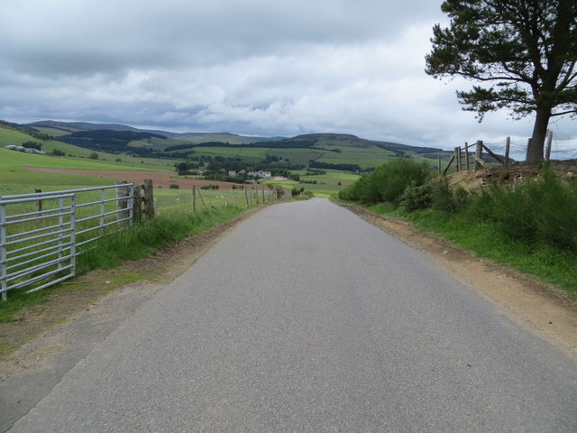
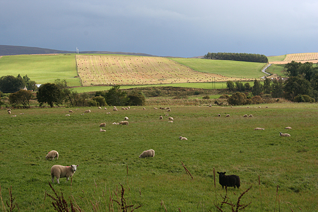
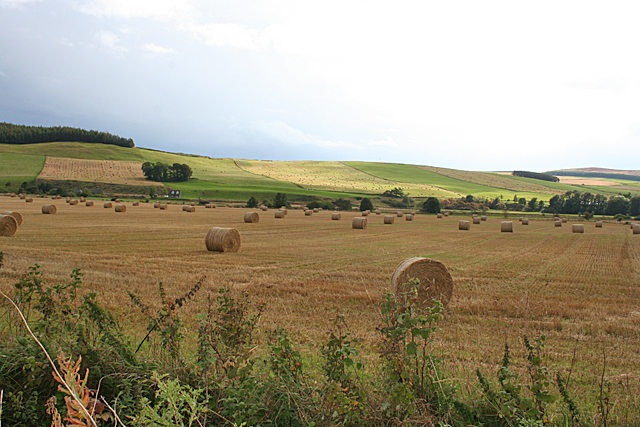
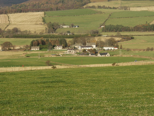
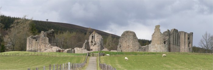
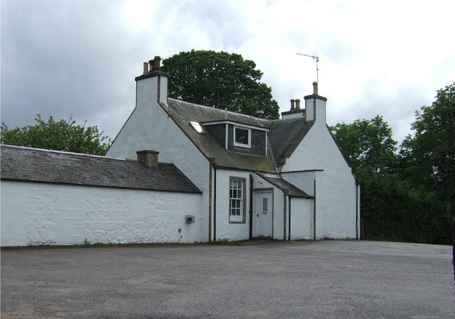
Woodside Plantation Images

Images are sourced within 2km of 57.185489/-2.9419479 or Grid Reference NJ4310. Thanks to Geograph Open Source API. All images are credited.

Turning area for lorries
Track towards Birk Hill Seen from the A97. It does not look that appealing.
Track towards Birk Hill
Seen from the A97. It does not look that appealing.
Track beside Deskry Woodland Looking south-westward.
Track beside Deskry Woodland
Looking south-westward.
Track heading onto Gallows Hill and footpath to Tarland Looking south-eastward.
Track heading onto Gallows Hill and footpath to Tarland
Looking south-eastward.
Road near to Woodside heading towards Towie Looking north-eastward.
Road near to Woodside heading towards Towie
Looking north-eastward.
Junction of roads at Newton Looking north-eastward.
Junction of roads at Newton
Looking north-eastward.
Fence-lined minor road near to Upper Towie Looking north-westward.
Fence-lined minor road near to Upper Towie
Looking north-westward.
Road near to Cushlachie heading towards Towie Looking northward.
Road near to Cushlachie heading towards Towie
Looking northward.
Fields near Towie Fleeting sunshine picks out a field of bales beside the road from Towie to Boultenstone.
Fields near Towie
Fleeting sunshine picks out a field of bales beside the road from Towie to Boultenstone.
Fields near Towie A gap in the predominant cloud cover illuminates a field above the flood plain of the River Don near Towie. New Mains farm is all but hidden among the trees on the right, but the house below the clump of trees towards the left is unnamed on the maps.
Fields near Towie
A gap in the predominant cloud cover illuminates a field above the flood plain of the River Don near Towie. New Mains farm is all but hidden among the trees on the right, but the house below the clump of trees towards the left is unnamed on the maps.
Lonesome Pine This solitary Scots Pine stands beside the track from Lazy Well round Gallows Hill to the public road near Woodside. Below it is the lowest and largest of the three Lazy Well Lochans.
Lonesome Pine
This solitary Scots Pine stands beside the track from Lazy Well round Gallows Hill to the public road near Woodside. Below it is the lowest and largest of the three Lazy Well Lochans.
Lazy Well Lochans To be more specific, this is the largest and lowest of the Lazy Well Lochans, which are artificial ponds created for shooting.
Lazy Well Lochans
To be more specific, this is the largest and lowest of the Lazy Well Lochans, which are artificial ponds created for shooting.
Looking towards Gallows Hill The track on the left skirts Gallows Hill and joins the public road near Woodside.
Looking towards Gallows Hill
The track on the left skirts Gallows Hill and joins the public road near Woodside.
On Baderonoch Hill The view to the north from a track that contours on the north slope of the hill. At far right is one of the Lazy Well Lochans.
On Baderonoch Hill
The view to the north from a track that contours on the north slope of the hill. At far right is one of the Lazy Well Lochans.
Rippachie Farm Looking west to Rippachie Farm near Boultenstone Outdoor Centre
Rippachie Farm
Looking west to Rippachie Farm near Boultenstone Outdoor Centre
The settlement of Towie Towie has been inhabited for a very long time. It has standing stones just outside the hamlet and the remains of a tower house.
The settlement of Towie
Towie has been inhabited for a very long time. It has standing stones just outside the hamlet and the remains of a tower house.
Cushlachie Looking downhill towards the River Don. Part of the village of Towie, in the middle distance, is in this square.
Cushlachie
Looking downhill towards the River Don. Part of the village of Towie, in the middle distance, is in this square.
A97 above Boultenstone A wooded stretch on the climb to Tillypronie.
A97 above Boultenstone
A wooded stretch on the climb to Tillypronie.
Show me another place!

Woodside Plantation is located at Grid Ref: NJ4310 (Lat: 57.185489, Lng: -2.9419479)

Unitary Authority: Aberdeenshire

Police Authority: North East

What 3 Words

///miracles.confident.renewals. Near Alford, Aberdeenshire

Related Wikis

Related Videos

Yamaha XT225, enjoying some local backroads

out for a wee run around some local roads alongside the River Don at points, hopefully giving you a taste of what this corner of the ...

Nearby Amenities

Located within 500m of 57.185489,-2.9419479
Power: pole
Lat/Long: 57.1881812/-2.9475763
Power: pole
Lat/Long: 57.185332/-2.94768
Power: pole
Lat/Long: 57.1864379/-2.9475594
Power: pole
Lat/Long: 57.1873629/-2.9471571
Power: pole
Lat/Long: 57.1881988/-2.9468656
Power: pole
Lat/Long: 57.1882791/-2.9479845
Power: pole
Lat/Long: 57.1888016/-2.9464274
Power: pole
Lat/Long: 57.1872087/-2.9494777
Hunting Stand
Hunting Stand: grouse_butt
Lat/Long: 57.1815389/-2.9445438
Hunting Stand
Hunting Stand: grouse_butt
Lat/Long: 57.1819125/-2.9447101
The data included in this document is from www.openstreetmap.org. The data is made available under ODbL.

Have you been to Woodside Plantation?

Leave your review of Woodside Plantation below (or comments, questions and feedback).