Cefn
Settlement in Montgomeryshire
Wales
Cefn

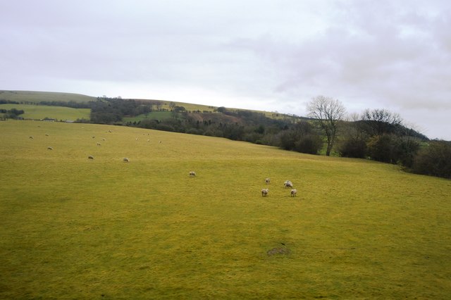
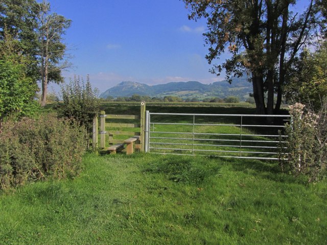
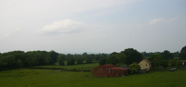
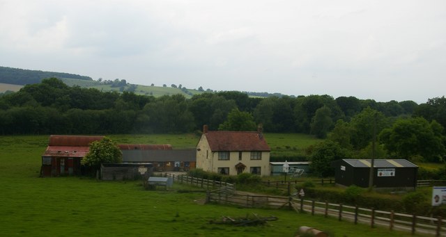
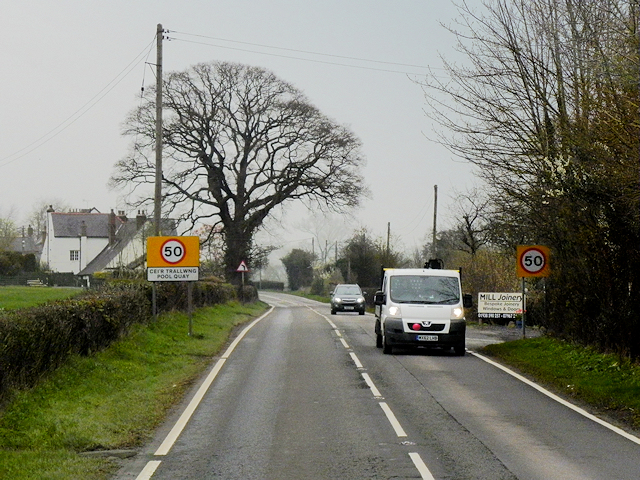
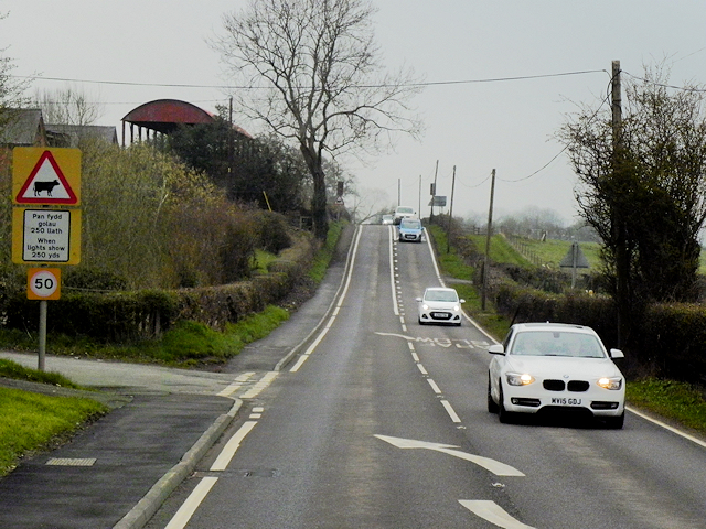
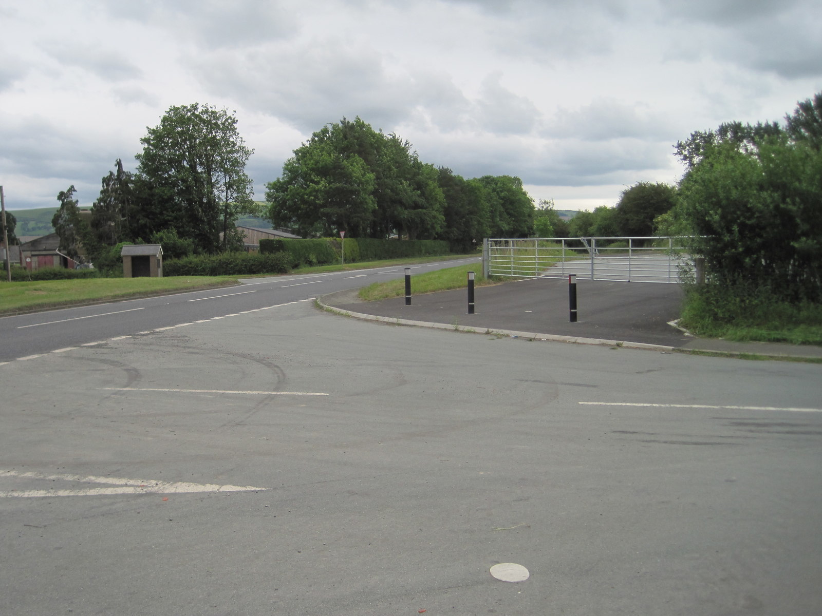
Cefn is a small village located in the county of Montgomeryshire, Wales. Situated in the picturesque countryside, Cefn is surrounded by rolling hills and lush green fields, offering residents and visitors a tranquil and idyllic setting.
The village itself is home to a close-knit community, with a population of approximately 500 people. It boasts a range of amenities, including a local pub, a small convenience store, and a primary school, which serves the surrounding area. The village is also well-connected, with regular bus services providing easy access to nearby towns and cities.
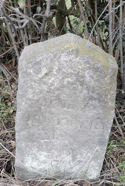
Cefn is renowned for its rich history and heritage. The village features several historic buildings, such as the Grade II listed St. Mary's Church, which dates back to the 13th century and is a prominent landmark in the area. Additionally, the village is surrounded by ancient archaeological sites, including burial mounds and standing stones, allowing visitors to delve into the area's past.
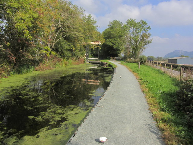
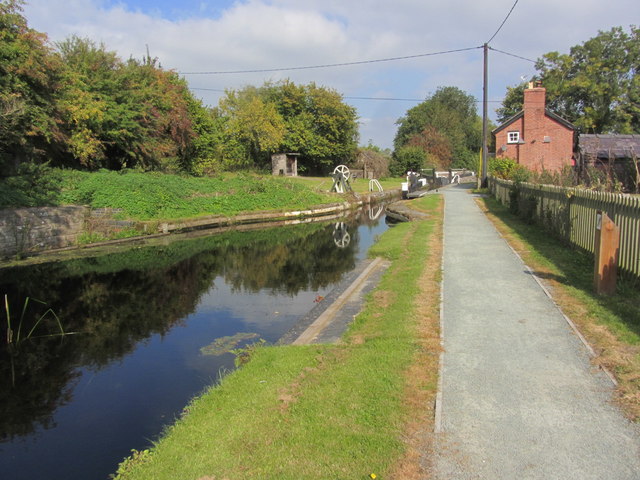
Nature enthusiasts will find plenty to explore in and around Cefn. The village is nestled within a designated Area of Outstanding Natural Beauty, offering breathtaking views and a plethora of walking and hiking trails. The nearby Montgomery Canal also provides opportunities for boating and fishing, making it a popular spot for outdoor enthusiasts.
Overall, Cefn offers a peaceful and charming rural retreat, with a strong sense of community and a wealth of natural beauty to be enjoyed.
If you have any feedback on the listing, please let us know in the comments section below.
Cefn Images
Images are sourced within 2km of 52.686854/-3.082897 or Grid Reference SJ2610. Thanks to Geograph Open Source API. All images are credited.


Cefn is located at Grid Ref: SJ2610 (Lat: 52.686854, Lng: -3.082897)
Unitary Authority: Powys
Police Authority: Dyfed Powys
What 3 Words
///musically.bristle.keen. Near Guilsfield, Powys
Nearby Locations
Related Wikis
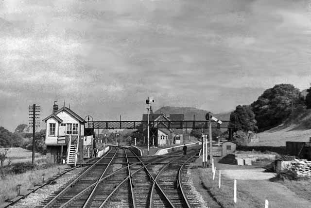
Buttington railway station
Buttington railway station was a station in Buttington, Powys, Wales. The station was opened in November 1860, several months after the line that served...

Trewern Hall
Trewern Hall or Trewern Farmhouse is a country house in Montgomeryshire, Wales, close to the Shropshire border. It is on a spur in the floodplain of the...
Trewern
Trewern is a small village, community and electoral ward in Montgomeryshire, Powys, Wales. The community includes the villages of Buttington and Middletown...
Pool Quay
Pool Quay (Welsh: Cei'r Trallwng) is a small village in Powys, Mid Wales. == Location == It is situated on the A483 road, between the towns of Welshpool...
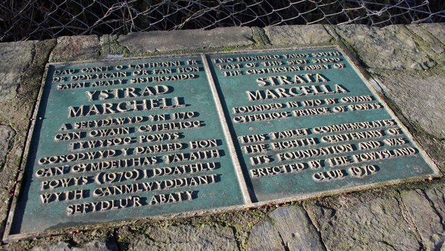
Strata Marcella
The Abbey of Strata Marcella (Welsh: Abaty Ystrad Marchell) was a medieval Cistercian monastery situated at Ystrad Marchell (Strata Marcella being the...
Battle of Buttington
The Battle of Buttington was fought in 893 between a Viking army and an alliance of Anglo-Saxons and Welsh. The annals for 893 reported that a large Viking...
Buttington Oak
The Buttington Oak was a tree near to Offa's Dyke at Buttington, Wales, said to have been planted to mark the site of the Battle of Buttington between...
Pool Quay railway station
Pool Quay railway station was a station in Pool Quay, Powys, Wales. The station was opened on 1 May 1860 and closed on 18 January 1965. == References ==
Nearby Amenities
Located within 500m of 52.686854,-3.082897Have you been to Cefn?
Leave your review of Cefn below (or comments, questions and feedback).