Lugate Wood

Wood, Forest in Midlothian

Scotland

Lugate Wood

The remains of Ewes Castle There is not much to see of this ruined tower house by the Lugate Water. My previous visit was in 2007 <a href="https://www.geograph.org.uk/photo/410068">NT4344 : Ewes Castle</a>.
The remains of Ewes Castle Credit: Walter Baxter

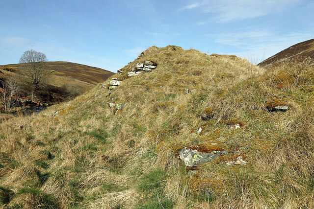
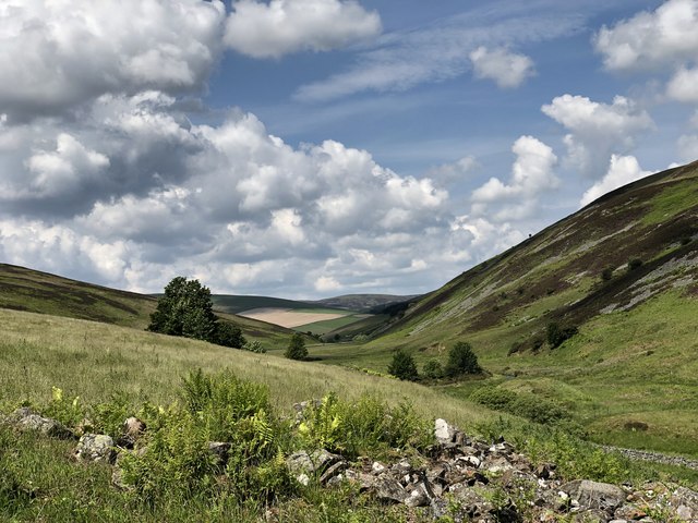
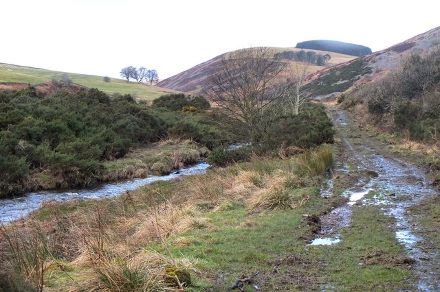
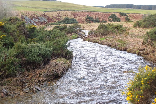
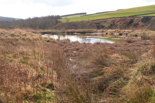
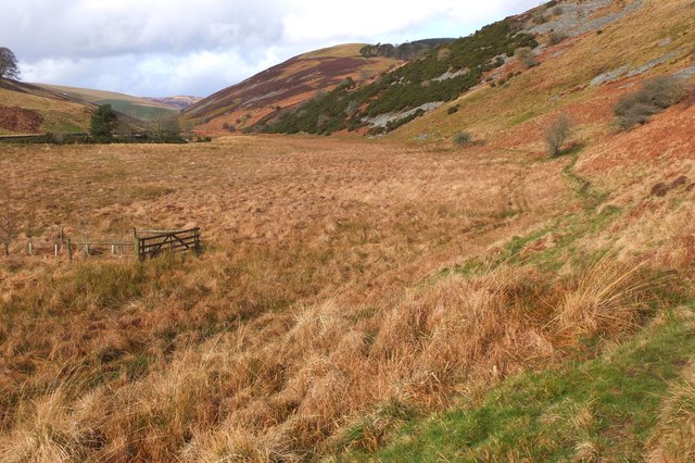
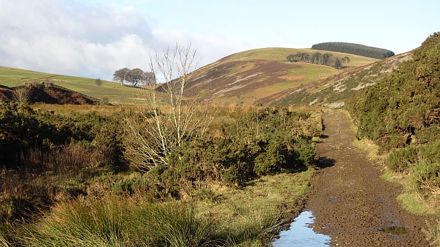
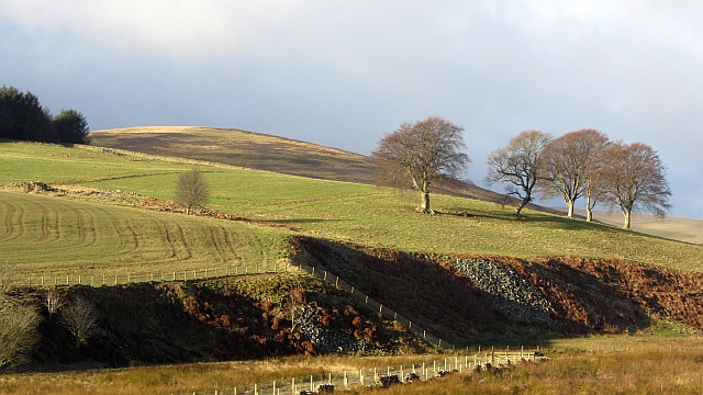
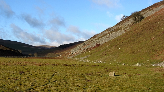
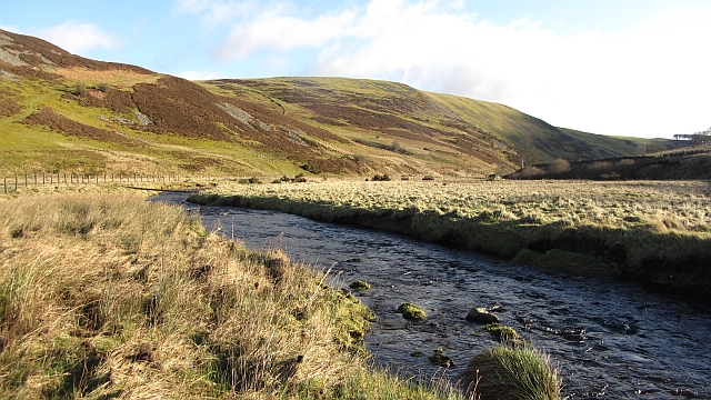
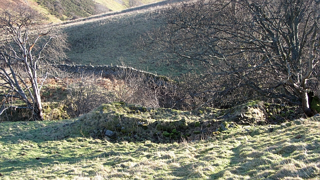
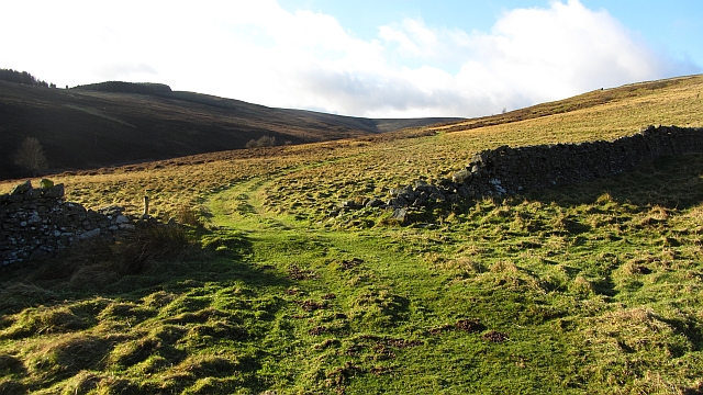
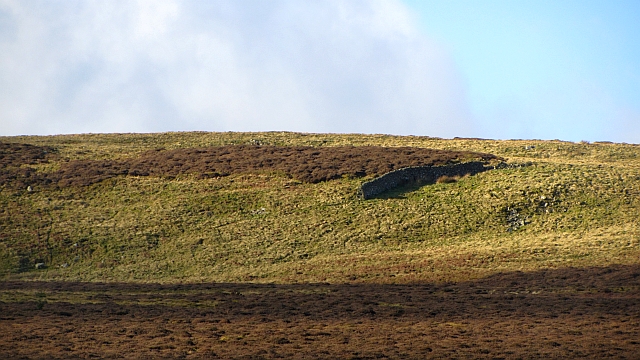
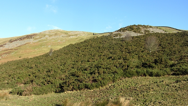
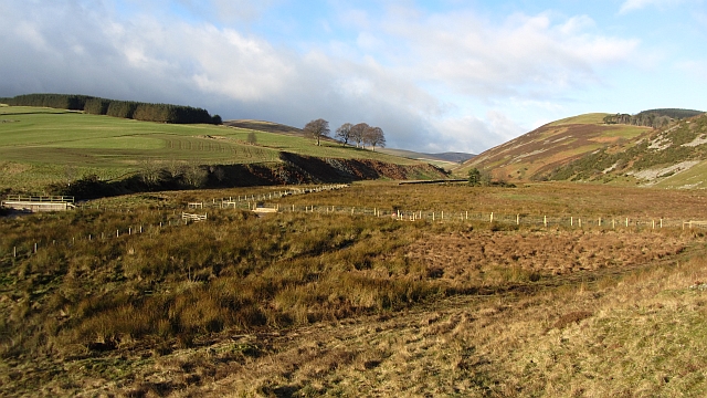
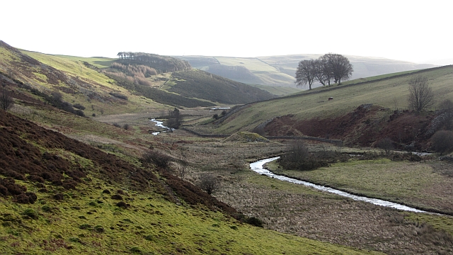
Lugate Wood is a picturesque forest located in Midlothian, Scotland. Covering an area of approximately 50 acres, this woodland is nestled in the heart of the Scottish countryside, providing a serene and tranquil escape for nature enthusiasts and outdoor adventurers alike.

The woodland is characterized by its diverse range of trees, including oak, birch, and pine, which create a dense canopy that shelters a variety of wildlife. Visitors to Lugate Wood can expect to encounter a plethora of bird species, such as woodpeckers, owls, and finches, as well as small mammals like red squirrels and badgers.

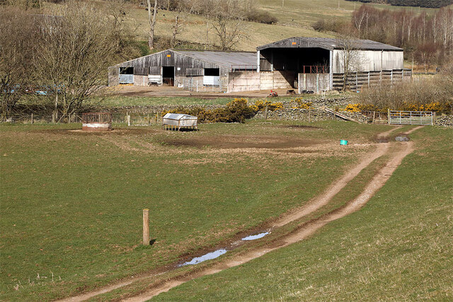
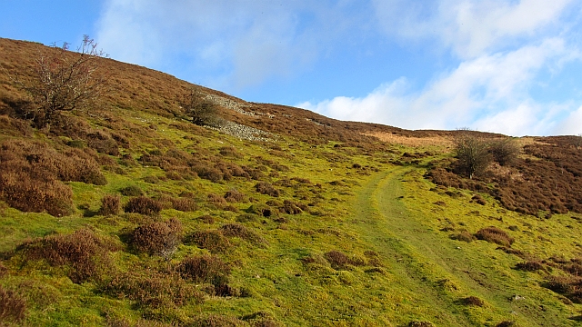
A network of well-maintained trails winds its way through the forest, providing visitors with the opportunity to explore the natural beauty and discover hidden gems within the woodland. These paths are suitable for walkers of all abilities, with some areas being wheelchair-accessible.

Lugate Wood also boasts a picnic area, complete with benches and tables, where visitors can relax and enjoy a meal amidst the tranquil surroundings. Additionally, the forest offers ample parking facilities, making it easily accessible for those arriving by car.

Whether visitors are seeking a peaceful stroll through nature, a spot for wildlife watching, or a scenic location for a family picnic, Lugate Wood in Midlothian is sure to provide an unforgettable experience. Its enchanting beauty and rich biodiversity make it a must-visit destination for both locals and tourists alike.

If you have any feedback on the listing, please let us know in the comments section below.

Lugate Wood Images

Images are sourced within 2km of 55.68718/-2.9155868 or Grid Reference NT4244. Thanks to Geograph Open Source API. All images are credited.

The remains of Ewes Castle There is not much to see of this ruined tower house by the Lugate Water. My previous visit was in 2007 <a href="https://www.geograph.org.uk/photo/410068">NT4344 : Ewes Castle</a>.
The remains of Ewes Castle
There is not much to see of this ruined tower house by the Lugate Water. My previous visit was in 2007 NT4344 : Ewes Castle.
Farm buildings at Lugate
Ewes Castle (remains of) Ruins of Ewes Castle next to the Lugate Water looking North West along the valley
Ewes Castle (remains of)
Ruins of Ewes Castle next to the Lugate Water looking North West along the valley
Track by the Lugate Water The plantation on the skyline is on Watherston Hill.
Track by the Lugate Water
The plantation on the skyline is on Watherston Hill.
The Lugate Water The Lugate Water drains an area of hillsides northeast of Windlestraw Law, at 659m the highest point in the Moorfoot Hills. It joins the Gala Water 2km south of Stow.
The Lugate Water
The Lugate Water drains an area of hillsides northeast of Windlestraw Law, at 659m the highest point in the Moorfoot Hills. It joins the Gala Water 2km south of Stow.
Old fish farm, Lugate Water The pond of a former fish farm to the east of the Lugate Water (information from 'Walking the Scottish Borders and East Lothian' by Mary Welsh and Christine Isherwood (Clan Books 2011)).
Old fish farm, Lugate Water
The pond of a former fish farm to the east of the Lugate Water (information from 'Walking the Scottish Borders and East Lothian' by Mary Welsh and Christine Isherwood (Clan Books 2011)).
Valley of the Lugate Water The narrow valley continues for another 2km or so to the area where the Ewes Water, Thrashie Burn and other streams join to form the Lugate Water.
Valley of the Lugate Water
The narrow valley continues for another 2km or so to the area where the Ewes Water, Thrashie Burn and other streams join to form the Lugate Water.
Track beside the Lugate Water The farm track climbs out of the glen by Ewes Castle.
Track beside the Lugate Water
The farm track climbs out of the glen by Ewes Castle.
The foot of Lugate Rig A scattering of trees beside an unnamed ruin. The view is from the east side of the Lugate Water.
The foot of Lugate Rig
A scattering of trees beside an unnamed ruin. The view is from the east side of the Lugate Water.
Path on Cottie Hill A quadbike track running down to the Lugate Water from Cottie Hill. The slopes of the glen here are rocky with sizable areas of scree.
Path on Cottie Hill
A quadbike track running down to the Lugate Water from Cottie Hill. The slopes of the glen here are rocky with sizable areas of scree.
Looking up the Lugate Water A mossy haugh contrasts with steep screes. Further up the glen, the land becomes gentler and has been improved for agriculture.
Looking up the Lugate Water
A mossy haugh contrasts with steep screes. Further up the glen, the land becomes gentler and has been improved for agriculture.
Lugate Water The Lugate Water, upstream of Ewes Castle. There is no bridge here even though one is marked on the Ordnance Survey map. I just got wet feet. The burn is quite deep in places. The pole across the water is a trap.
Lugate Water
The Lugate Water, upstream of Ewes Castle. There is no bridge here even though one is marked on the Ordnance Survey map. I just got wet feet. The burn is quite deep in places. The pole across the water is a trap.
Gately A ruin at the foot of the glen carrying the Gately Burn.
Gately
A ruin at the foot of the glen carrying the Gately Burn.
Gately A quad bike track runs up the glen of the Gately Burn. There are many dykes here suggesting improved agriculture in the past, perhaps associated with the ruins at Gately.
<a href="https://www.geograph.org.uk/photo/2775774">NT4344 : Gately</a>
Gately
A quad bike track runs up the glen of the Gately Burn. There are many dykes here suggesting improved agriculture in the past, perhaps associated with the ruins at Gately. NT4344 : Gately
Isolated dyke section, Gately Rig A very short stretch of drystane dyking set amongst grouse moor and the odd bit of dun grassland.  In the Moorfoot Hills, Midlothian.
Isolated dyke section, Gately Rig
A very short stretch of drystane dyking set amongst grouse moor and the odd bit of dun grassland. In the Moorfoot Hills, Midlothian.
Cribbielaw Hill The ridge between the Lugate and Gala Waters is scree covered on the Lugate side. The glen of the Lugate Water is very scenic.
Cribbielaw Hill
The ridge between the Lugate and Gala Waters is scree covered on the Lugate side. The glen of the Lugate Water is very scenic.
The Lugate Glen Looking upstream over a marshy glen floor into the Moorfoot Hills. There is a footbridge here carrying the old route between Scroof and Stagehall over the Lugate Water
The Lugate Glen
Looking upstream over a marshy glen floor into the Moorfoot Hills. There is a footbridge here carrying the old route between Scroof and Stagehall over the Lugate Water
Lugate Water A view downstream, past the ruins of Ewes Castle.
Lugate Water
A view downstream, past the ruins of Ewes Castle.
Show me another place!

Lugate Wood is located at Grid Ref: NT4244 (Lat: 55.68718, Lng: -2.9155868)

Unitary Authority: The Scottish Borders

Police Authority: The Lothians and Scottish Borders

What 3 Words

///agency.twinkled.sprayed. Near Galashiels, Scottish Borders

Nearby Locations

Lugate Wood

Related Wikis

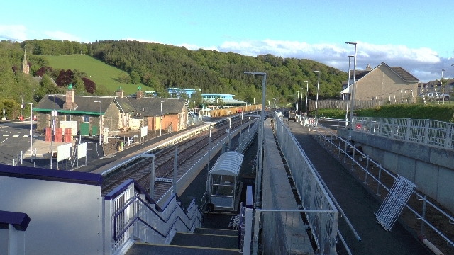
Stow railway station

Stow is a railway station on the Borders Railway, which runs between Edinburgh Waverley and Tweedbank. The station, situated 26 miles 45 chains (43 km...

Stow of Wedale

Stow of Wedale, or more often Stow, is a village in the Scottish Borders area of Scotland (historically Midlothian), 7 miles (11 kilometres) north of...

Stow of Wedale Town Hall

Stow of Wedale Town Hall is a municipal building in Earlston Road, Stow of Wedale, Scottish Borders, Scotland. The structure, which serves as a community...

Bow Castle Broch

Bow Castle is the remains of an iron-age broch near the Gala Water, in the Scottish Borders area of Scotland, in the parish of Stow. It is a scheduled...

Allanshaugh

Allanshaugh is a fermtoun in the Scottish Borders area of Scotland. == See also == List of places in the Scottish Borders List of places in Scotland...

Bowland railway station

Bowland railway station (Bowland Bridge between May 1849 and July 1862) was a railway station in the village of Bowland, near Galashiels, Scotland. Located...

Bowshank

Bowshank is a village in the Scottish Borders area of Scotland, close to the A7, beside the Gala Water. Nearby are Bow Castle Broch, as well as Buckholm...

Windlestraw Law

Windlestraw Law is a hill in the Moorfoot Hills range, part of the Southern Uplands of Scotland. It is the highest peak of the range, and lies north of...

Have you been to Lugate Wood?

Leave your review of Lugate Wood below (or comments, questions and feedback).