Horniehaugh Wood
Wood, Forest in Angus
Scotland
Horniehaugh Wood
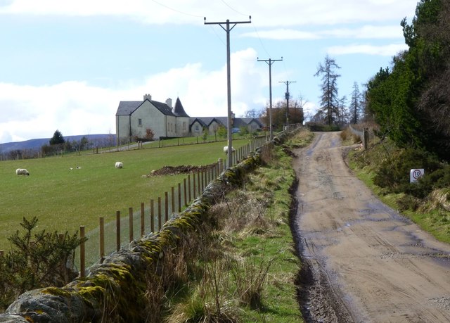
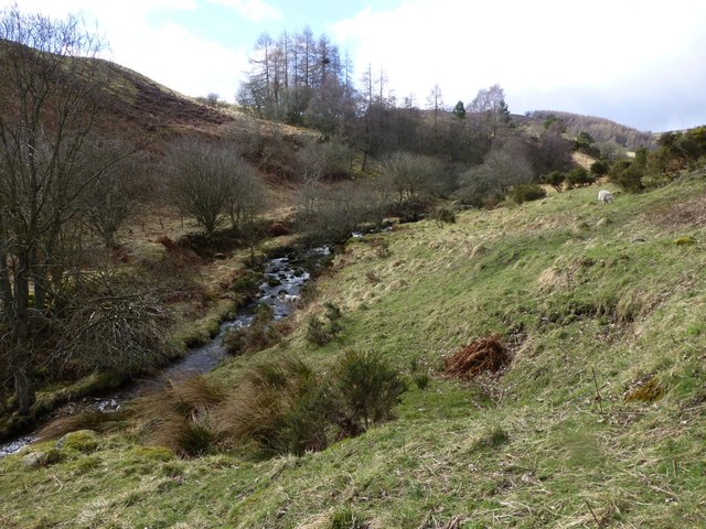
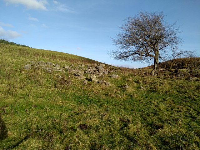
Horniehaugh Wood is a picturesque forest located in the county of Angus, Scotland. Spanning over an area of approximately 50 hectares, this woodland is known for its natural beauty and diverse ecosystem.
The forest is primarily composed of native tree species, including oak, birch, and beech, which create a dense canopy that provides shade and shelter for a wide variety of flora and fauna. Walking through Horniehaugh Wood, visitors can expect to see an array of wildflowers, ferns, and mosses, adding to the enchanting atmosphere.
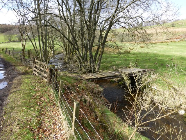
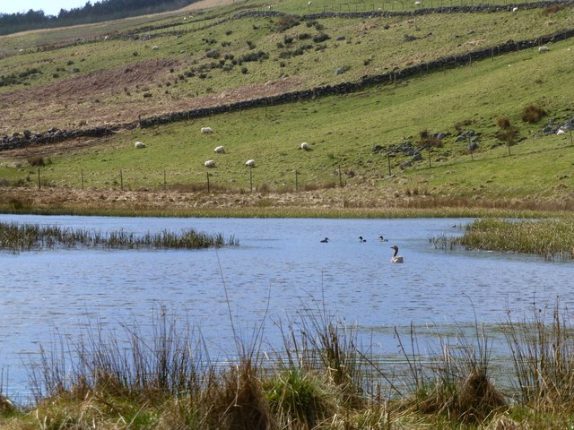
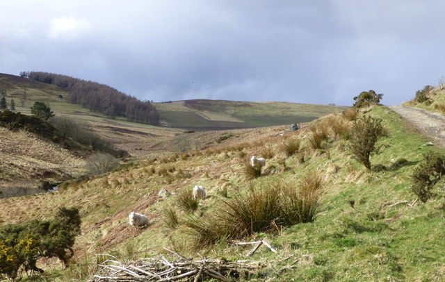
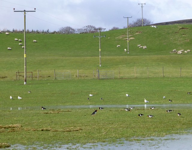
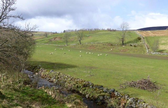
The woodland is also home to a rich diversity of wildlife. Birdwatchers can spot various species such as woodpeckers, thrushes, and owls, while small mammals like red squirrels, badgers, and foxes often roam the forest floor. The presence of a small stream running through the wood further enhances the habitat, attracting aquatic life and providing a peaceful ambiance.
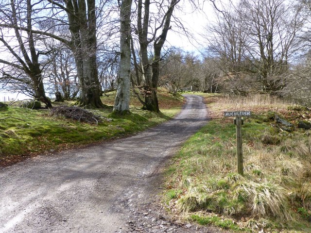
Horniehaugh Wood is a popular destination for nature enthusiasts and hikers who can explore the numerous walking trails that wind through the forest. These well-maintained paths offer stunning views of the surrounding countryside and allow visitors to immerse themselves in the tranquility of nature.
Managed by local conservation organizations, Horniehaugh Wood is also a site for ongoing ecological research and conservation efforts. These initiatives aim to protect the forest's unique biodiversity and ensure its sustained growth for future generations to enjoy.
Overall, Horniehaugh Wood is a natural gem in Angus, Scotland, offering a serene and immersive experience for anyone seeking solace in nature.
If you have any feedback on the listing, please let us know in the comments section below.
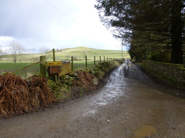
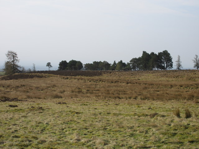
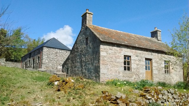
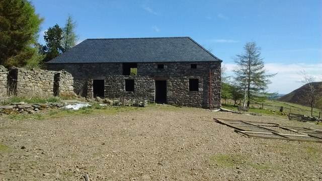
Horniehaugh Wood Images
Images are sourced within 2km of 56.744454/-2.9613087 or Grid Reference NO4161. Thanks to Geograph Open Source API. All images are credited.


Horniehaugh Wood is located at Grid Ref: NO4161 (Lat: 56.744454, Lng: -2.9613087)
Unitary Authority: Angus
Police Authority: Tayside
What 3 Words
///crumple.dent.whimpered. Near Kirriemuir, Angus
Nearby Locations
Related Wikis

Cortachy Castle
Cortachy Castle is a castellated mansion House at Cortachy, Angus, Scotland, some four miles north of Kirriemuir. The present building dates from the 15th...

Cortachy
Cortachy is a village in Angus, Scotland. It lies in at the mouth of Glen Clova, on the River South Esk, four miles north of Kirriemuir. Nearby lies Cortachy...

Memus
Memus is a small village in Angus, Scotland, north of Kirriemuir. It is home to the Drovers Pub. A story is told of a kelpie at Shielhill Bridge, leaving...

Inverquharity
Inverquharity is a Roman fortlet in Scotland, close to the Highland Line about 5 miles (8 km) north of Kirriemuir, Angus. Although very little archaeological...

Inverquharity Castle
Inverquharity Castle is a 15th-century tower house in Angus, Scotland. It lies around 4.5 kilometres (2.8 mi) north-east of Kirriemuir near the River South...

Mile Hill, Dykehead
There is another Mile Hill nearby which is a MarilynMile Hill is located in Angus, Scotland, 1000 metres west of Dykehead. It is a circular hill rising...
Auchnacree
Auchnacree is an estate in Angus, Scotland, five miles north of Forfar.In 1921 the estate overseer, Mr Frank Rae, discovered what is now called the Auchnacree...

Noranside
Noranside is a hamlet in Angus, Scotland, located at 56° 44' 0" North, 2° 52' 0" West,. The prison HMP Noranside was operated there from 1966 to 2011....
Nearby Amenities
Located within 500m of 56.744454,-2.9613087Have you been to Horniehaugh Wood?
Leave your review of Horniehaugh Wood below (or comments, questions and feedback).