Balronald Wood

Wood, Forest in Aberdeenshire

Scotland

Balronald Wood

Minor road towards Migvie
Minor road towards Migvie Credit: Steven Brown

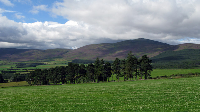
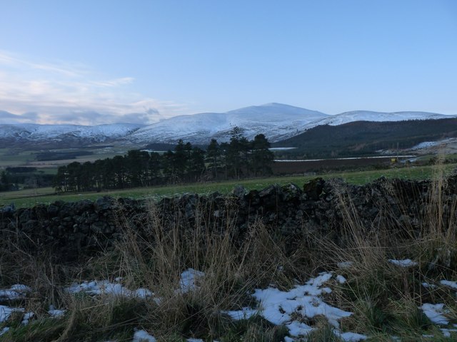
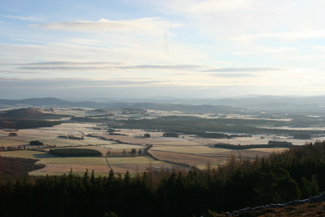
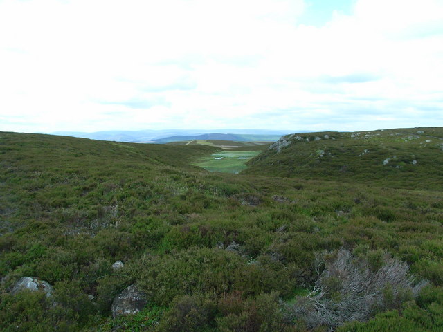
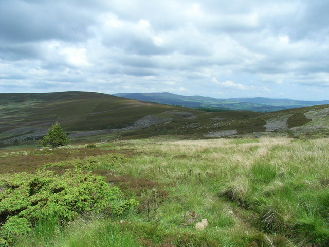
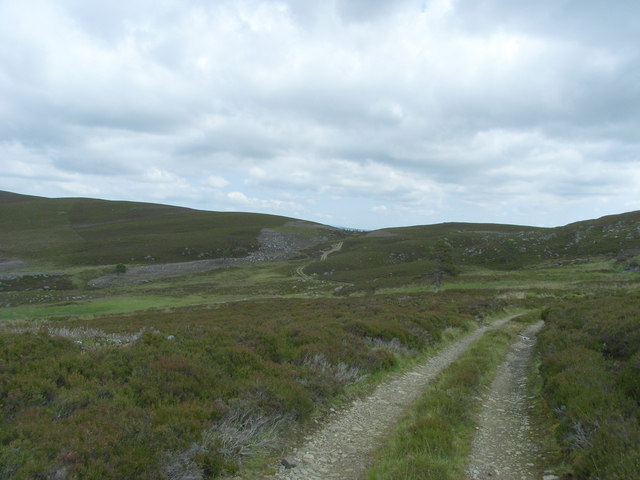
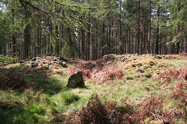
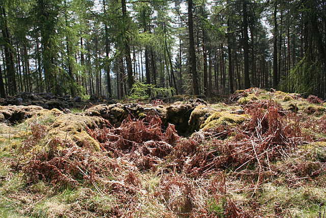
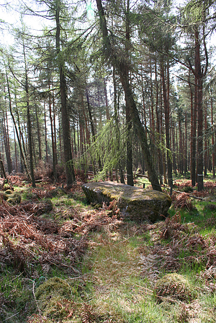
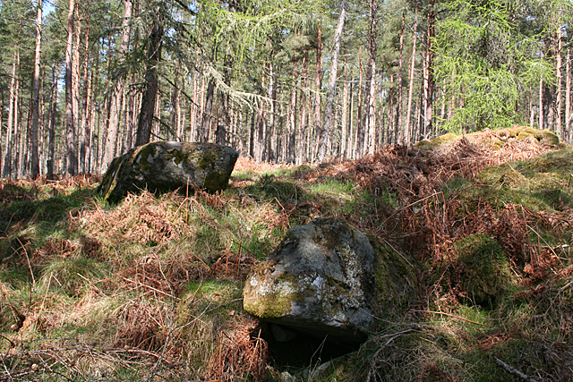
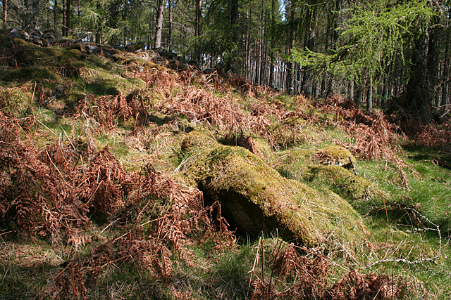
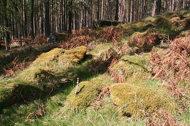
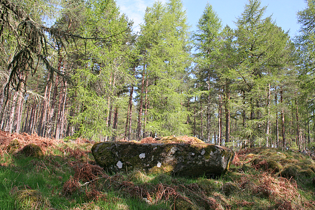
Balronald Wood, located in Aberdeenshire, is a picturesque forest that offers visitors a tranquil and enchanting experience. Spread across a vast area, the wood is known for its diverse flora and fauna, making it a popular destination for nature lovers and wildlife enthusiasts.

The wood is home to a wide variety of tree species, including oak, ash, birch, and pine. These towering trees create a dense canopy that provides shelter to a rich assortment of wildlife. Visitors can spot an array of bird species, such as the great spotted woodpecker, tawny owl, and chaffinch, among others. Additionally, the wood is inhabited by mammals like red squirrels, rabbits, and deer, which can often be observed roaming freely.

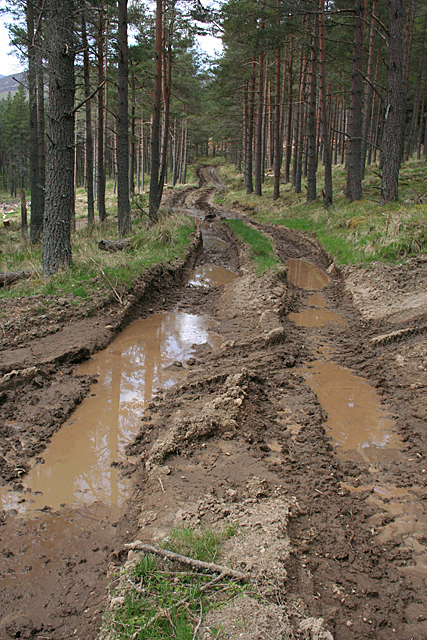
Balronald Wood is crisscrossed by numerous walking trails, allowing visitors to explore the natural beauty at their own pace. These pathways take visitors through enchanting woodland areas, offering stunning views of towering trees, vibrant wildflowers, and bubbling streams. The wood also boasts a number of picnic areas, providing the perfect opportunity to relax and enjoy a meal amidst the serene surroundings.

With its tranquil ambiance and stunning natural beauty, Balronald Wood is a haven for those seeking an escape from the hustle and bustle of everyday life. Whether it's a leisurely stroll, bird watching, or simply enjoying the serenity, this Aberdeenshire forest truly offers a delightful experience for all nature enthusiasts.

If you have any feedback on the listing, please let us know in the comments section below.

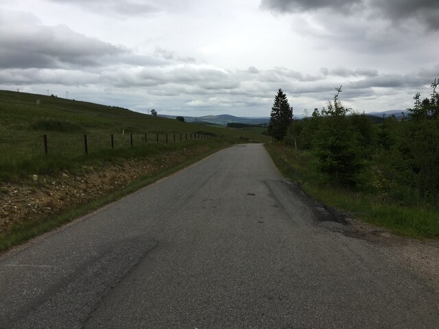
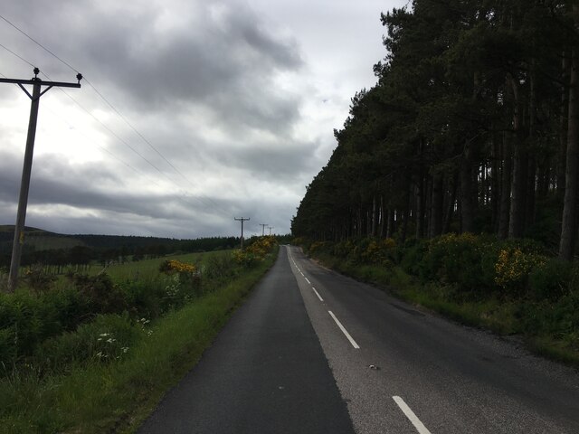
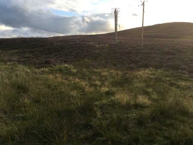
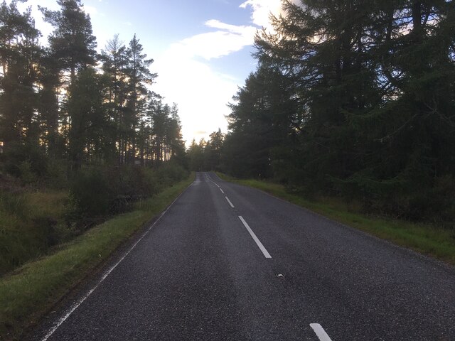
Balronald Wood Images

Images are sourced within 2km of 57.14732/-2.9746437 or Grid Reference NJ4106. Thanks to Geograph Open Source API. All images are credited.

Minor road towards Migvie
A97 near Migvie
A97 near Migvie
Rough track on Craig Glas
A97 near Witchock Loch
Fields with trees south-west of A97 Agricultural land sweeps away from the A97 towards a distant mountain which is Morven.
Fields with trees south-west of A97
Agricultural land sweeps away from the A97 towards a distant mountain which is Morven.
Pittentaggart fields Morven in the first white coat of winter lies behind the farmland.
Pittentaggart fields
Morven in the first white coat of winter lies behind the farmland.
View of Cromar from side of Morven Winter morning view of Cromar valley, taken from Morven.
View of Cromar from side of Morven
Winter morning view of Cromar valley, taken from Morven.
Craig Walgan Looking North West from below the Northern summit of Craig Walgan. Looking through the gap, Bad an Teachdaire can be seen behind Ardan Breac.
Craig Walgan
Looking North West from below the Northern summit of Craig Walgan. Looking through the gap, Bad an Teachdaire can be seen behind Ardan Breac.
Bonlee Hill Looking North East from the track descending Hill of Allamuc with Bonlee Hill on the left. The track descends across the saddle to the right into Balronald Wood.
Bonlee Hill
Looking North East from the track descending Hill of Allamuc with Bonlee Hill on the left. The track descends across the saddle to the right into Balronald Wood.
Burn of Badanseaneach Looking East across the Burn of Badanseaneach towards the saddle between Bonlee Hill and Hill of Allamuc. The track continues down into Balronald Wood. The track also runs alongside the wood South of Bonlee Hill but this track can easily be missed.
Burn of Badanseaneach
Looking East across the Burn of Badanseaneach towards the saddle between Bonlee Hill and Hill of Allamuc. The track continues down into Balronald Wood. The track also runs alongside the wood South of Bonlee Hill but this track can easily be missed.
Blue Cairn of Ladieswell (1) This Recumbent Stone Circle is distinguished by having a large cairn inside it, and by having a full complement of orthostats interdigitated with the kerbstones of the cairn. Unfortunately the whole things is so overgrown that it is all but impossible to identify the stones. This is the approach to the cairn from the north-east, with one small identifiable orthostat in the foreground. See <span class="nowrap"><a title="https://canmore.org.uk/site/17000/blue-cairn-of-ladieswell" rel="nofollow ugc noopener" href="https://canmore.org.uk/site/17000/blue-cairn-of-ladieswell">Link</a><img style="margin-left:2px;" alt="External link" title="External link - shift click to open in new window" src="https://s1.geograph.org.uk/img/external.png" width="10" height="10"/></span> for more details. <a href="https://www.geograph.org.uk/photo/4951262">NJ4106 : Blue Cairn of Ladieswell (2)</a>
Blue Cairn of Ladieswell (1)
This Recumbent Stone Circle is distinguished by having a large cairn inside it, and by having a full complement of orthostats interdigitated with the kerbstones of the cairn. Unfortunately the whole things is so overgrown that it is all but impossible to identify the stones. This is the approach to the cairn from the north-east, with one small identifiable orthostat in the foreground. See LinkExternal link for more details. NJ4106 : Blue Cairn of Ladieswell (2)
Blue Cairn of Ladieswell (2) The centre of the cairn was excavated in the 19th century, leaving some holes among the stones that do not reflect its original shape. See <span class="nowrap"><a title="https://canmore.org.uk/site/17000/blue-cairn-of-ladieswell" rel="nofollow ugc noopener" href="https://canmore.org.uk/site/17000/blue-cairn-of-ladieswell">Link</a><img style="margin-left:2px;" alt="External link" title="External link - shift click to open in new window" src="https://s1.geograph.org.uk/img/external.png" width="10" height="10"/></span> for more details. <a href="https://www.geograph.org.uk/photo/4951349">NJ4106 : Blue Cairn of Ladieswell (3)</a>
Blue Cairn of Ladieswell (2)
The centre of the cairn was excavated in the 19th century, leaving some holes among the stones that do not reflect its original shape. See LinkExternal link for more details. NJ4106 : Blue Cairn of Ladieswell (3)
Blue Cairn of Ladieswell (3) This large stone is what enables archaeologists to classify the Blue Cairn as a Recumbent Stone Circle, as it is plainly a recumbent. See <span class="nowrap"><a title="https://canmore.org.uk/site/17000/blue-cairn-of-ladieswell" rel="nofollow ugc noopener" href="https://canmore.org.uk/site/17000/blue-cairn-of-ladieswell">Link</a><img style="margin-left:2px;" alt="External link" title="External link - shift click to open in new window" src="https://s1.geograph.org.uk/img/external.png" width="10" height="10"/></span> for more details. <a href="https://www.geograph.org.uk/photo/4951355">NJ4106 : Blue Cairn of Ladieswell (4)</a>
Blue Cairn of Ladieswell (3)
This large stone is what enables archaeologists to classify the Blue Cairn as a Recumbent Stone Circle, as it is plainly a recumbent. See LinkExternal link for more details. NJ4106 : Blue Cairn of Ladieswell (4)
Blue Cairn of Ladieswell (4) The stone at upper left is the recumbent, and the stone nearest the camera is the largest surviving orthostat, lying at a shallow angle. See <span class="nowrap"><a title="https://canmore.org.uk/site/17000/blue-cairn-of-ladieswell" rel="nofollow ugc noopener" href="https://canmore.org.uk/site/17000/blue-cairn-of-ladieswell">Link</a><img style="margin-left:2px;" alt="External link" title="External link - shift click to open in new window" src="https://s1.geograph.org.uk/img/external.png" width="10" height="10"/></span> for more details. <a href="https://www.geograph.org.uk/photo/4951453">NJ4106 : Blue Cairn of Ladieswell (5)</a>
Blue Cairn of Ladieswell (4)
The stone at upper left is the recumbent, and the stone nearest the camera is the largest surviving orthostat, lying at a shallow angle. See LinkExternal link for more details. NJ4106 : Blue Cairn of Ladieswell (5)
Blue Cairn of Ladieswell (5) The large moss-covered stone is probably a fallen orthostat, and there are probably kerbstones and further orthostats beyond it, but they are so covered by vegetation that it is difficult to know. See <span class="nowrap"><a title="https://canmore.org.uk/site/17000/blue-cairn-of-ladieswell" rel="nofollow ugc noopener" href="https://canmore.org.uk/site/17000/blue-cairn-of-ladieswell">Link</a><img style="margin-left:2px;" alt="External link" title="External link - shift click to open in new window" src="https://s1.geograph.org.uk/img/external.png" width="10" height="10"/></span> for more details. <a href="https://www.geograph.org.uk/photo/4951457">NJ4106 : Blue Cairn of Ladieswell (6)</a>
Blue Cairn of Ladieswell (5)
The large moss-covered stone is probably a fallen orthostat, and there are probably kerbstones and further orthostats beyond it, but they are so covered by vegetation that it is difficult to know. See LinkExternal link for more details. NJ4106 : Blue Cairn of Ladieswell (6)
Blue Cairn of Ladieswell (6) The shapes under the moss are almost certainly fallen orthostats, but it's hard to be sure when they are so well covered. See <span class="nowrap"><a title="https://canmore.org.uk/site/17000/blue-cairn-of-ladieswell" rel="nofollow ugc noopener" href="https://canmore.org.uk/site/17000/blue-cairn-of-ladieswell">Link</a><img style="margin-left:2px;" alt="External link" title="External link - shift click to open in new window" src="https://s1.geograph.org.uk/img/external.png" width="10" height="10"/></span> for more details. <a href="https://www.geograph.org.uk/photo/4951460">NJ4106 : Blue Cairn of Ladieswell (7)</a>
Blue Cairn of Ladieswell (6)
The shapes under the moss are almost certainly fallen orthostats, but it's hard to be sure when they are so well covered. See LinkExternal link for more details. NJ4106 : Blue Cairn of Ladieswell (7)
Blue Cairn of Ladieswell (7) This is the recumbent, the only stone that can be clearly seen. See <span class="nowrap"><a title="https://canmore.org.uk/site/17000/blue-cairn-of-ladieswell" rel="nofollow ugc noopener" href="https://canmore.org.uk/site/17000/blue-cairn-of-ladieswell">Link</a><img style="margin-left:2px;" alt="External link" title="External link - shift click to open in new window" src="https://s1.geograph.org.uk/img/external.png" width="10" height="10"/></span> for more details. <a href="https://www.geograph.org.uk/photo/4951116">NJ4106 : Blue Cairn of Ladieswell (1)</a>
Blue Cairn of Ladieswell (7)
This is the recumbent, the only stone that can be clearly seen. See LinkExternal link for more details. NJ4106 : Blue Cairn of Ladieswell (1)
Deep Muddy Ruts Only a forest harvester could create anything like this. It was quite a challenge to cross it dryshod. See also <a href="https://www.geograph.org.uk/photo/4952233">NJ4106 : Mud Slide</a>.
Deep Muddy Ruts
Only a forest harvester could create anything like this. It was quite a challenge to cross it dryshod. See also NJ4106 : Mud Slide.
Show me another place!

Balronald Wood is located at Grid Ref: NJ4106 (Lat: 57.14732, Lng: -2.9746437)

Unitary Authority: Aberdeenshire

Police Authority: North East

What 3 Words

///exploring.goodbyes.client. Near Ballater, Aberdeenshire

Nearby Locations

Balronald Wood

Related Wikis

Blue cairn circle

Blue cairn circle is a 21 metres (69 ft) diameter stone circle in Aberdeenshire, Scotland. In the center is a large stone cairn with several pits in it...

Migvie Castle

Migvie Castle was a 13th-century castle to the west of Migvie, Aberdeenshire, Scotland. Its remains were listed as a scheduled monument in 2007. ��2�...

Logie Coldstone

Logie Coldstone (Scottish Gaelic: Lògaidh) is a village in Aberdeenshire, Scotland. The village lies north of the River Dee, near Tarland in the Cromar...

Blelack

Blelack (, Scottish Gaelic: Blàth Bholg) is a place in Aberdeenshire, Scotland, the location of Blelack House, a Scottish mansion house with origins in...

Nearby Amenities

Located within 500m of 57.14732,-2.9746437
Blue Cairn Of Ladieswell stone circle (remains)
Alt Name: Blue Cairn stone circle (remains)
Archaeological Site: megalith
Historic: archaeological_site
Megalith Type: stone_circle
Ref Canmore: 17000
Wikidata: Q4930063
Wikipedia: en:Blue cairn circle
Lat/Long: 57.1441461/-2.9743177
Hunting Stand
Lat/Long: 57.1506082/-2.9799747
The data included in this document is from www.openstreetmap.org. The data is made available under ODbL.

Have you been to Balronald Wood?

Leave your review of Balronald Wood below (or comments, questions and feedback).