Chapel Park Wood

Wood, Forest in Midlothian

Scotland

Chapel Park Wood

Border Railway near Heriot On opening day, looking southwards. The railway was closed between 1969 and 2015 and remains closed south of Tweedbank.
Border Railway near Heriot Credit: Richard Webb

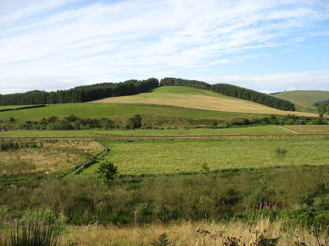
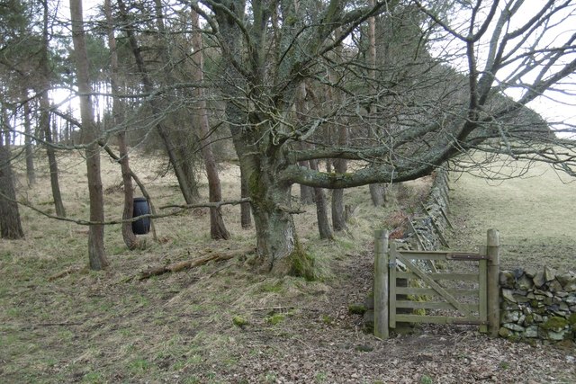
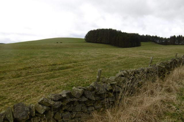
Chapel Park Wood is a picturesque forest located in Midlothian, Scotland. The wood covers an area of approximately 200 acres and is a designated Site of Special Scientific Interest (SSSI). It is situated within the Pentland Hills Regional Park, offering visitors a tranquil and idyllic setting to explore nature.

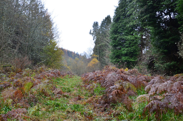
The wood is primarily composed of native broadleaf trees, including oak, birch, and beech. These trees create a dense canopy that provides shade and shelter for various wildlife species. Walking through the wood, visitors will come across a diverse range of flora and fauna, such as bluebells, wild garlic, and woodpeckers.

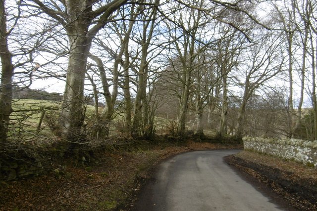
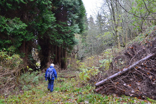
Chapel Park Wood is intersected by a network of footpaths and trails, allowing visitors to explore the forest and enjoy its natural beauty. These paths are well-maintained and suitable for both leisurely strolls and more adventurous hikes. The wood also features a picnic area, providing a perfect spot for visitors to relax and enjoy a meal surrounded by nature.

The forest is home to a variety of wildlife, including deer, foxes, and numerous bird species. Birdwatchers will particularly enjoy their visit, as the wood attracts a wide range of feathered friends, such as wood warblers and red kites.

Chapel Park Wood is easily accessible from nearby towns and villages, making it a popular destination for nature enthusiasts, families, and those seeking a peaceful escape from the hustle and bustle of daily life. Whether it's a leisurely walk, a picnic, or wildlife spotting, this enchanting forest offers something for everyone to enjoy.

If you have any feedback on the listing, please let us know in the comments section below.

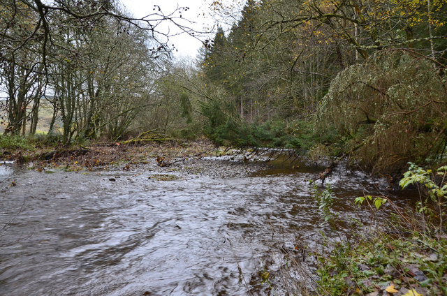
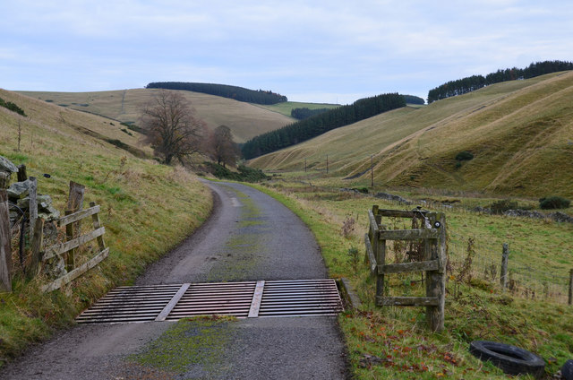
Chapel Park Wood Images

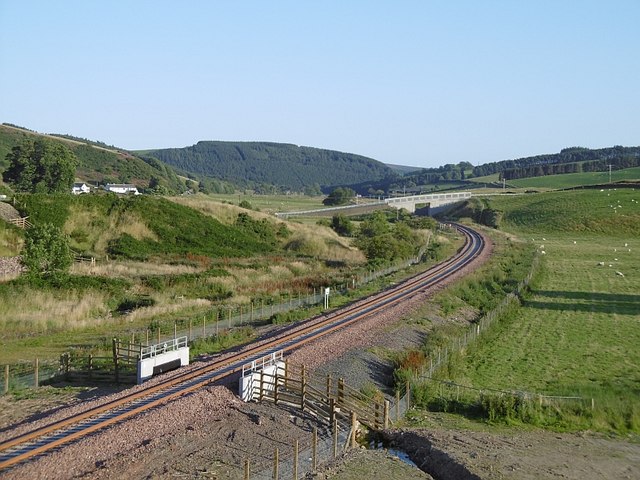
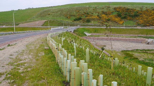
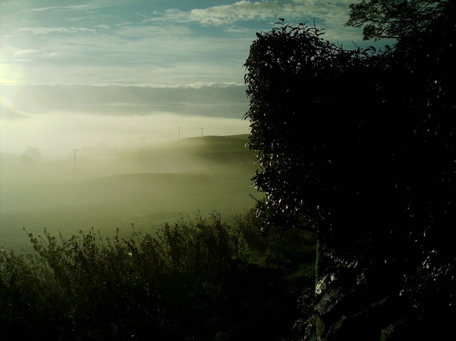
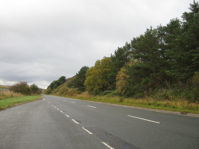
Images are sourced within 2km of 55.760246/-2.9398635 or Grid Reference NT4152. Thanks to Geograph Open Source API. All images are credited.

Border Railway near Heriot On opening day, looking southwards. The railway was closed between 1969 and 2015 and remains closed south of Tweedbank.
Border Railway near Heriot
On opening day, looking southwards. The railway was closed between 1969 and 2015 and remains closed south of Tweedbank.
New road, Heriot A bridge has been built south of the old level crossing site at Heriot. There is now a pedestrian underpass there. The railway reopened on the 6th September 2015. <a href="https://www.geograph.org.uk/photo/4648382">NT4054 : Borders Railway, Heriot</a>
New road, Heriot
A bridge has been built south of the old level crossing site at Heriot. There is now a pedestrian underpass there. The railway reopened on the 6th September 2015. NT4054 : Borders Railway, Heriot
Mist blanketing Gala Valley South of Heriot
A7 lay-by
A7 lay-by
A steam special on the Borders Railway at Hangingshaw The steam locomotive Royal Scot is being hauled back to Edinburgh by a vintage diesel.
A steam special on the Borders Railway at Hangingshaw
The steam locomotive Royal Scot is being hauled back to Edinburgh by a vintage diesel.
Chapel Hill The recently reopened Borders Railway crosses the centre of this picture.
Chapel Hill
The recently reopened Borders Railway crosses the centre of this picture.
View of Crookston Looking over the Gala Water from the single track road on the west side of the river.
View of Crookston
Looking over the Gala Water from the single track road on the west side of the river.
Crookston Across the Gala Water.
Crookston
Across the Gala Water.
Stripwood, White Hill A strip on the west side of the Gala Water.
Stripwood, White Hill
A strip on the west side of the Gala Water.
Borders Railway, Halltree An Edinburgh bound train passes a road junction on the A7.
Borders Railway, Halltree
An Edinburgh bound train passes a road junction on the A7.
Hillside above Halltree
Yellow road, Kilcoulter Approach to Kilcoulter Bridge, heading northwards.
Yellow road, Kilcoulter
Approach to Kilcoulter Bridge, heading northwards.
Road south of Heriot The white house by the A7 used to have a shop and filling station.
<a href="https://www.geograph.org.uk/photo/38033">NT4053 : Hangingshaw Post Office.</a>
Road south of Heriot
The white house by the A7 used to have a shop and filling station. NT4053 : Hangingshaw Post Office.
Between Heriot and Fountainhall Plantations and upland pastures to the west of the Gala Water valley. The A7 runs in the valley across the  top of the picture.
Between Heriot and Fountainhall
Plantations and upland pastures to the west of the Gala Water valley. The A7 runs in the valley across the top of the picture.
Rough path near White Bridge, Heriot The path shown running ENE from White Bridge cannot be recommended. The section shown here looks straightforward but led here through a flooded ditch, avoided by taking to the undergrowth on the right.
Rough path near White Bridge, Heriot
The path shown running ENE from White Bridge cannot be recommended. The section shown here looks straightforward but led here through a flooded ditch, avoided by taking to the undergrowth on the right.
A forlorn hope, Heriot On an abortive attempt to follow the path shown on the S bank of the Heriot Water between White Bridge and Kilcoulter Bridge. Beyond this point the route was heavily overgrown with fallen trees, swampland and barbed wire adding to the fun.
A forlorn hope, Heriot
On an abortive attempt to follow the path shown on the S bank of the Heriot Water between White Bridge and Kilcoulter Bridge. Beyond this point the route was heavily overgrown with fallen trees, swampland and barbed wire adding to the fun.
Heriot Water at Kilcoulter Wood The furthest point reached on the attempt to follow the path from White Bridge to Kilcoulter Bridge.
Heriot Water at Kilcoulter Wood
The furthest point reached on the attempt to follow the path from White Bridge to Kilcoulter Bridge.
Corsehope glen On the access road to Corsehope House from the minor road at Kilcoulter.
Corsehope glen
On the access road to Corsehope House from the minor road at Kilcoulter.
Show me another place!

Chapel Park Wood is located at Grid Ref: NT4152 (Lat: 55.760246, Lng: -2.9398635)

Unitary Authority: The Scottish Borders

Police Authority: The Lothians and Scottish Borders

What 3 Words

///stencil.roadshow.occupations. Near Gorebridge, Midlothian

Nearby Locations

Chapel Park Wood

Related Wikis

Halltree

Halltree is a hamlet in the Scottish Borders. == Etymology == The etymology of Halltree is debated, but the second element is likely to be a Cumbric word...

Heriot, Scottish Borders

Heriot is a small village in the Moorfoot Hills southeast of Edinburgh, Scotland, within Eildon (part of the Scottish Borders council area, though historically...
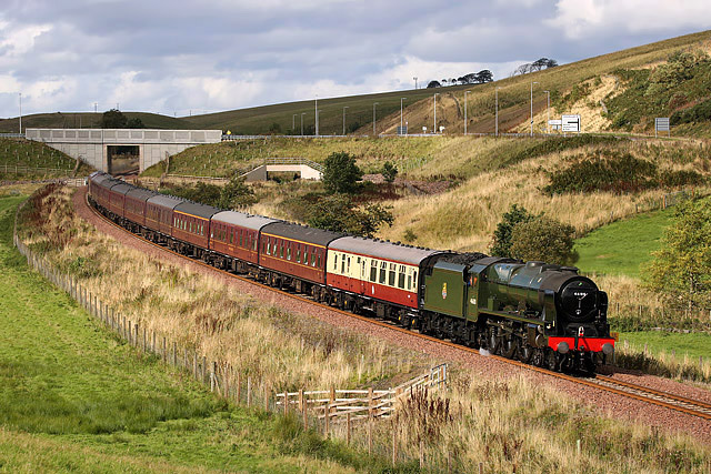
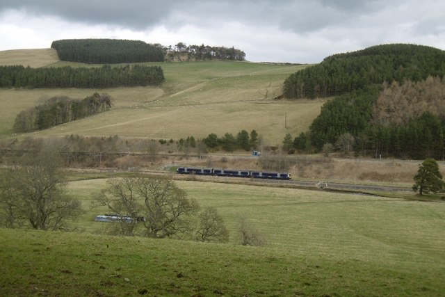
Borders Railway

The Borders Railway connects the city of Edinburgh with Galashiels and Tweedbank in the Scottish Borders. The railway follows most of the alignment of...

Heriot railway station

Heriot railway station served the village of Heriot, Scottish Borders, Scotland from 1848 to 1969 on the Waverley Route. == History == The station opened...

Nearby Amenities

Located within 500m of 55.760246,-2.9398635
Power: pole
Lat/Long: 55.7646146/-2.9386416
Power: pole
Lat/Long: 55.7646475/-2.9402144
Power: pole
Lat/Long: 55.7642265/-2.9429911
Power: pole
Lat/Long: 55.7636953/-2.9444902
Barrier: cattle_grid
Lat/Long: 55.7581465/-2.9338196
Barrier: cattle_grid
Lat/Long: 55.7589773/-2.9348958
Barrier: cattle_grid
Lat/Long: 55.7582945/-2.9368216
Barrier: cattle_grid
Lat/Long: 55.7565921/-2.941581
The data included in this document is from www.openstreetmap.org. The data is made available under ODbL.

Have you been to Chapel Park Wood?

Leave your review of Chapel Park Wood below (or comments, questions and feedback).