Bog Plantation
Wood, Forest in Aberdeenshire
Scotland
Bog Plantation

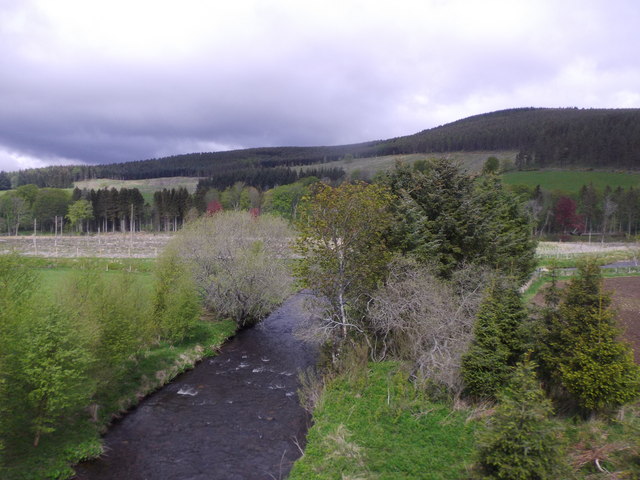
Bog Plantation is a forested area located in Aberdeenshire, Scotland. Spanning over a vast expanse of land, it covers an area of approximately 500 acres. The plantation is situated near the town of Bog, which is known for its beautiful natural landscapes and lush greenery.
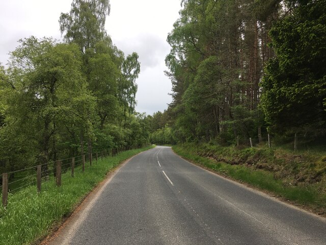
The main feature of Bog Plantation is its dense woodland, consisting primarily of native tree species such as Scots pine, oak, and birch. These trees create a rich and diverse habitat, attracting a wide variety of wildlife. The forest is home to numerous bird species, including woodpeckers, owls, and various songbirds. Mammals such as red squirrels, deer, and foxes can also be spotted within the plantation.
The forest floor is covered in a thick carpet of mosses and ferns, adding to the overall enchanting atmosphere of the area. Walking trails and pathways wind their way through the plantation, allowing visitors to explore its natural beauty at their own pace. These trails offer opportunities for hiking, nature photography, and wildlife observation.
Bog Plantation is not only a haven for flora and fauna but also serves as a recreational area for the local community and visitors alike. It provides a peaceful and tranquil environment for outdoor activities such as picnicking and family outings. The forest also plays a crucial role in preserving the natural biodiversity of the region and contributes to the overall health and well-being of the ecosystem.
Overall, Bog Plantation in Aberdeenshire offers a serene escape into nature, where visitors can immerse themselves in the beauty of the Scottish woodlands and enjoy the abundant wildlife it supports.
If you have any feedback on the listing, please let us know in the comments section below.
Bog Plantation Images
Images are sourced within 2km of 57.197583/-2.9838454 or Grid Reference NJ4012. Thanks to Geograph Open Source API. All images are credited.


Bog Plantation is located at Grid Ref: NJ4012 (Lat: 57.197583, Lng: -2.9838454)
Unitary Authority: Aberdeenshire
Police Authority: North East
What 3 Words
///spirits.hurray.repayment. Near Ballater, Aberdeenshire
Nearby Locations
Related Wikis

Glenkindie Castle
Glenkindie Castle was a 16th-century castle, about 3 miles (4.8 km) south-west of Kildrummy, Aberdeenshire, Scotland, at Glenkindie, north of the River...

Glenbuchat Castle
Glenbuchat Castle is a historic Z plan Scottish castle built in 1590 for John Gordon of Cairnbarrow to mark his wedding. It is located above the River...
Castle Newe
Castle Newe was a castellated mansion house, situated in Aberdeenshire, and designed in 1831 by Archibald Simpson. It was based on an existing Z-plan castle...

Towie, Aberdeenshire
Towie is a small hamlet and civil parish in Aberdeenshire, Scotland, close to Alford and Lumsden, on the River Don. One of the most notable features of...
Nearby Amenities
Located within 500m of 57.197583,-2.9838454Have you been to Bog Plantation?
Leave your review of Bog Plantation below (or comments, questions and feedback).