Blackhill Wood
Wood, Forest in Banffshire
Scotland
Blackhill Wood
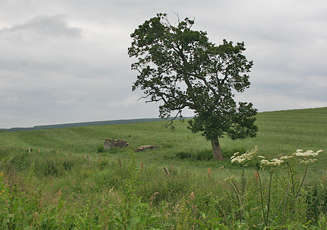
Blackhill Wood, located in Banffshire, Scotland, is a pristine forest renowned for its natural beauty and diverse ecosystem. Covering an area of approximately 500 hectares, the wood is situated on the eastern slopes of the Grampian Mountains and offers breathtaking panoramic views of the surrounding countryside.
The wood consists predominantly of native broadleaf trees, including beech, oak, and birch, which create a dense canopy, providing shade and shelter for a wide array of wildlife. The forest floor is carpeted with ferns, mosses, and wildflowers, adding to its enchanting atmosphere.
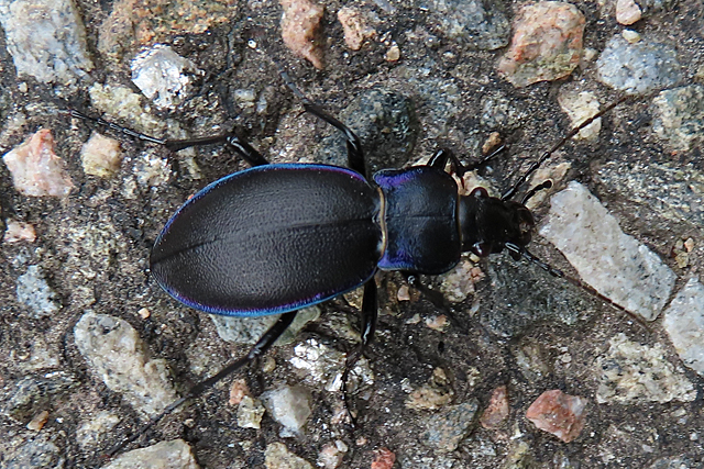
Blackhill Wood is home to a rich variety of fauna, making it a haven for nature enthusiasts and birdwatchers. Red squirrels, roe deer, and badgers are commonly spotted, while bird species such as the elusive capercaillie and the vibrant golden eagle can be observed soaring above the treetops. The wood is also inhabited by a diverse range of insects, including butterflies and beetles.
Visitors can explore the wood through a network of well-maintained trails, offering opportunities for hiking, cycling, and nature walks. These paths lead to secluded spots, babbling streams, and small waterfalls, creating a serene and tranquil environment. Interpretive signs are strategically placed along the trails, providing information about the flora and fauna found in the wood.
Blackhill Wood is not only a natural treasure but also plays a vital role in carbon capture and storage, contributing to the fight against climate change. Its preservation and conservation efforts ensure that future generations can continue to appreciate its beauty and ecological value.
If you have any feedback on the listing, please let us know in the comments section below.
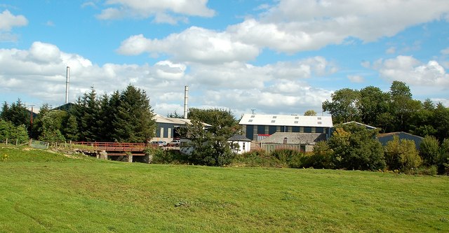
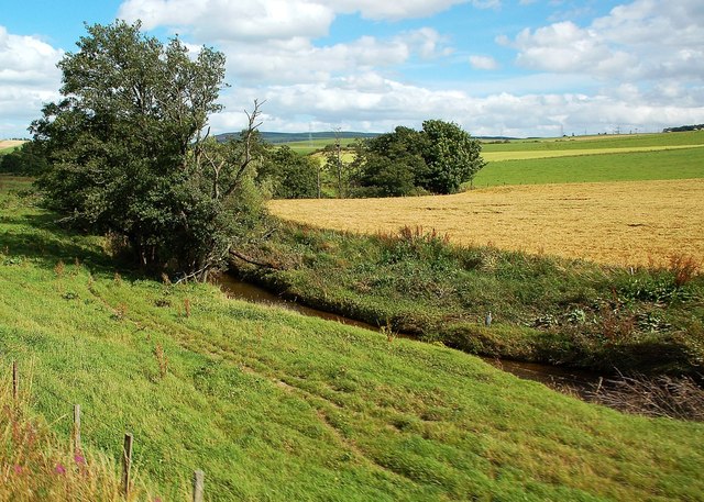
Blackhill Wood Images
Images are sourced within 2km of 57.529986/-2.9981284 or Grid Reference NJ4049. Thanks to Geograph Open Source API. All images are credited.


Blackhill Wood is located at Grid Ref: NJ4049 (Lat: 57.529986, Lng: -2.9981284)
Unitary Authority: Moray
Police Authority: North East
What 3 Words
///unrealistic.stays.stag. Near Keith, Moray
Nearby Locations
Related Wikis

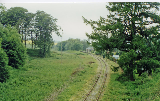
Auchindachy railway station
Auchindachy railway station served the village of Auchindachy in Scotland. Served by the Keith and Dufftown railway, it was the last station before Keith...

Mill of Towie
The Mill of Towie is a nineteenth-century mill building, with an attached kiln, situated close the River Isla, approximately 2 miles (3.2 km) south of...

Strathmill distillery
Strathmill distillery is one of three distilleries within the Moray town of Keith at the heart of "Malt Whisky Country". Unlike Keith's other two distilleries...

St Thomas's Church, Keith
St Thomas's Church is a Roman Catholic church in Keith, in Moray, Scotland. It is a cruciform building, exhibiting features of neoclassical and baroque...
Nearby Amenities
Located within 500m of 57.529986,-2.9981284Have you been to Blackhill Wood?
Leave your review of Blackhill Wood below (or comments, questions and feedback).