Fleming's Wood

Wood, Forest in Midlothian

Scotland

Fleming's Wood

Road by Preston Mains Midlothian yellow road.
Road by Preston Mains Credit: Richard Webb

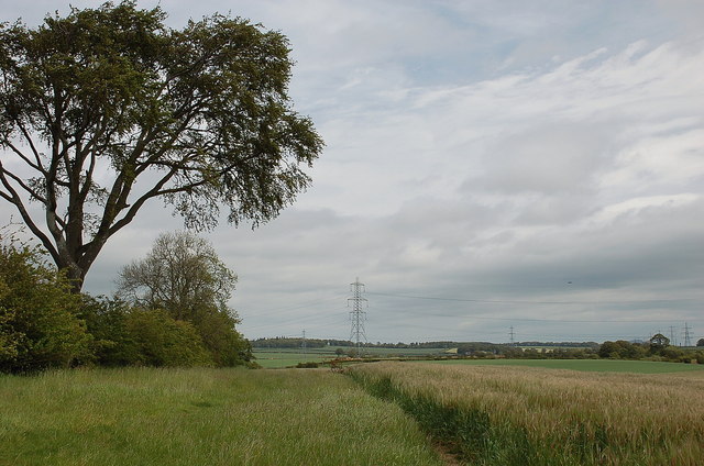
Fleming's Wood is a captivating woodland located in Midlothian, Scotland. Covering an area of approximately 50 acres, this enchanting forest is a haven for nature enthusiasts and those seeking solace in the midst of lush greenery. The wood is named after the famous Scottish scientist, Sir Alexander Fleming, who made significant contributions to medicine and is best known for discovering penicillin.

With its diverse range of tree species, including oak, beech, and birch, Fleming's Wood offers a picturesque landscape throughout the year. The tall, majestic trees provide a dense canopy, allowing only fragments of sunlight to filter through and create a dreamy atmosphere. The forest floor is adorned with an array of wildflowers, ferns, and mosses, adding a touch of vibrancy and beauty to the surroundings.

The wood is home to numerous species of wildlife, including deer, rabbits, and a variety of bird species. Nature enthusiasts can enjoy birdwatching as they spot common woodland birds such as woodpeckers, robins, and thrushes. The peaceful ambiance of the wood provides an ideal habitat for these creatures, making it a popular destination for wildlife enthusiasts.

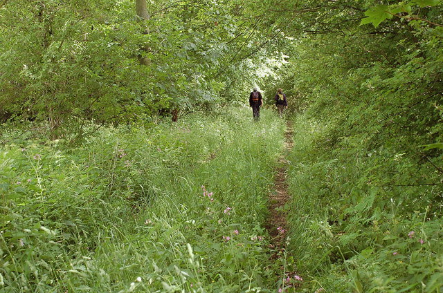
Fleming's Wood is a popular destination for outdoor activities, such as walking, hiking, and picnicking. The well-maintained walking trails wind through the forest, offering visitors the opportunity to explore its natural wonders and enjoy the tranquility it provides. The wood also has designated picnic areas, where families and friends can gather to enjoy a leisurely day surrounded by nature.

Overall, Fleming's Wood is a delightful woodland retreat that showcases the natural beauty of Midlothian. Its lush greenery, diverse flora and fauna, and serene atmosphere make it an idyllic destination for nature lovers and those seeking a peaceful escape from the hustle and bustle of everyday life.

If you have any feedback on the listing, please let us know in the comments section below.

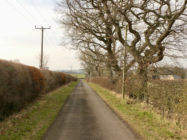
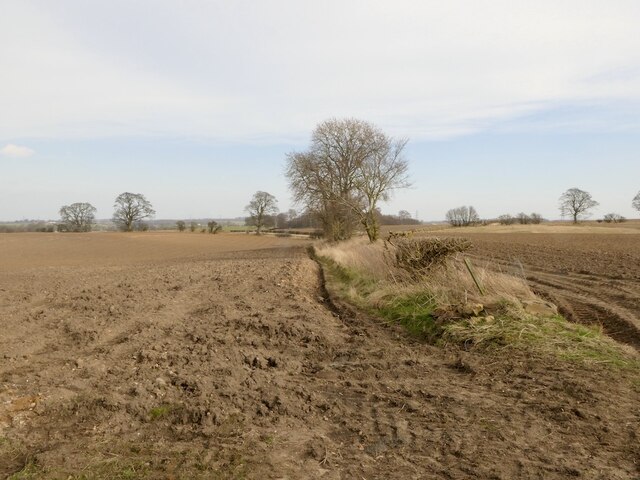
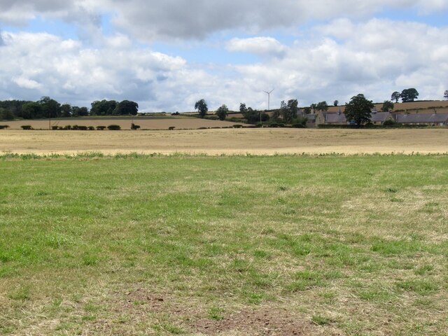
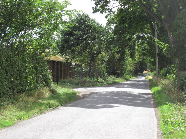
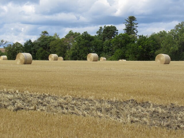
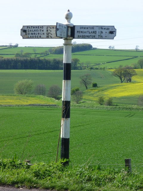
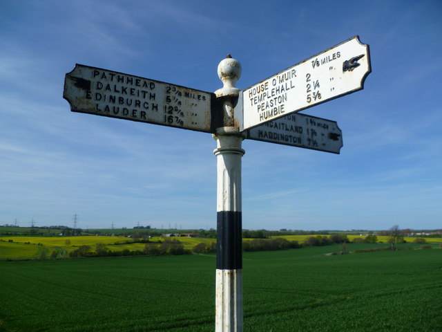
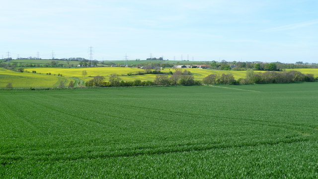
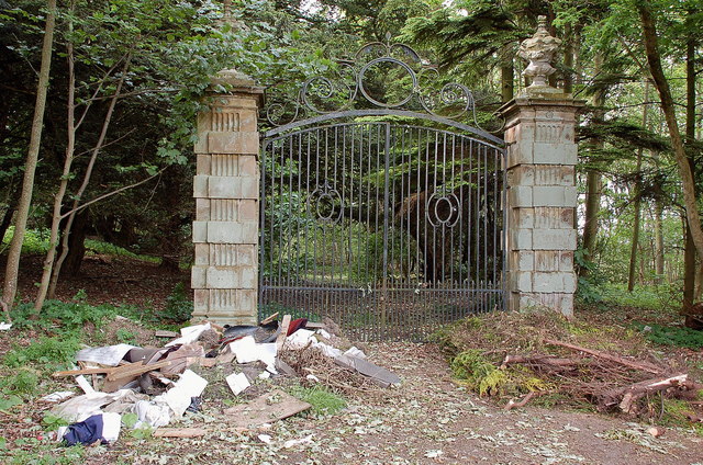
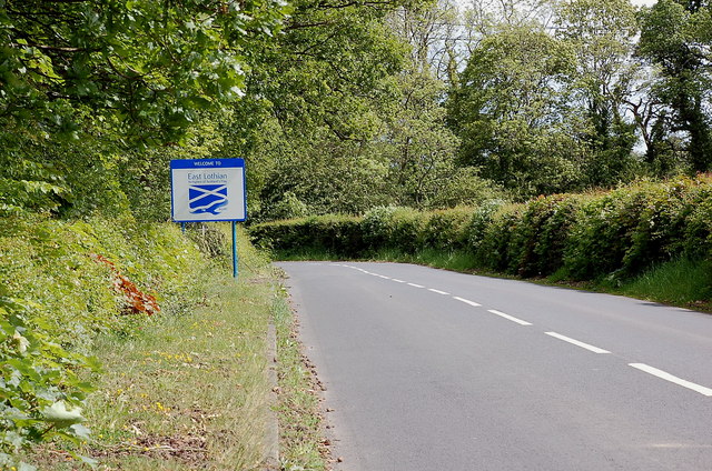
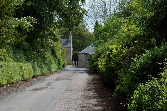
Fleming's Wood Images

Images are sourced within 2km of 55.883977/-2.9583108 or Grid Reference NT4066. Thanks to Geograph Open Source API. All images are credited.

Road by Preston Mains Midlothian yellow road.
Road by Preston Mains
Midlothian yellow road.
Ploughed fields near Pathhead Dry soil awaiting sowing, probably spring barley.
Ploughed fields near Pathhead
Dry soil awaiting sowing, probably spring barley.
Temporary road, The Murrays Work on the power line.
Temporary road, The Murrays
Work on the power line.
Power lines, The Murrays A complex arrangement of power lines one currently being refurbished.
Power lines, The Murrays
A complex arrangement of power lines one currently being refurbished.
Ormiston Mains
Ormiston Mains
Road, Templehall Today's road closure turned out to be a false alarm. Appears that they got the chipseal down with time to spare.
Road, Templehall
Today's road closure turned out to be a false alarm. Appears that they got the chipseal down with time to spare.
Arable land, Airfield
Site of Airfield Sawmill Timber is still handled here but I suspect it is now some form of factory. The building on the left is marked as a colliery on old maps.
Site of Airfield Sawmill
Timber is still handled here but I suspect it is now some form of factory. The building on the left is marked as a colliery on old maps.
Round bales, Preston
Junction of the B6367 and A68 at Pathhead
Old signpost on the A6093 Pathhead 2 3/8 miles
Dalkeith 5 7/8 miles
Edinburgh 12 3/8 miles
Lauder 16 7/8 miles
Ormiston 1 5/8 miles
Pencaitland 1 7/8 miles
Haddington 7 1/2 miles

I can certainly attest to the educational value of geograph, because I have learned from fellow geograph-er Richard West's contributions that this type of sign is known technically as a fingerpost.
Old signpost on the A6093
Pathhead 2 3/8 miles Dalkeith 5 7/8 miles Edinburgh 12 3/8 miles Lauder 16 7/8 miles Ormiston 1 5/8 miles Pencaitland 1 7/8 miles Haddington 7 1/2 miles I can certainly attest to the educational value of geograph, because I have learned from fellow geograph-er Richard West's contributions that this type of sign is known technically as a fingerpost.
Old signpost on the A6093 House O' Muir 7/8 miles
Templehall 2 miles
Peaston 2 1/4 miles
Humbie 5 3/8 miles
Old signpost on the A6093
House O' Muir 7/8 miles Templehall 2 miles Peaston 2 1/4 miles Humbie 5 3/8 miles
View near West Byres
Overgrown track near Preston Hall Summer growth trying its best to obscure the track leading to the B6367 at the N boundary of the estate.
Overgrown track near Preston Hall
Summer growth trying its best to obscure the track leading to the B6367 at the N boundary of the estate.
Gates north of Preston Hall Estate gates at a now disused entrance with the sadly inevitable fringe of dumped rubbish.
Gates north of Preston Hall
Estate gates at a now disused entrance with the sadly inevitable fringe of dumped rubbish.
East Lothian boundary sign, B6367 The wording on the sign reads:

Welcome to
East Lothian

Birthplace of Scotland's Flag  832 AD

in reference to the Battle of Athelstaneford between a force of Picts and Scots and a Northumbrian army - see <a href="https://www.geograph.org.uk/photo/817671">NT5377 : The Saltire, National Flag of Scotland</a>.
East Lothian boundary sign, B6367
The wording on the sign reads: Welcome to East Lothian Birthplace of Scotland's Flag 832 AD in reference to the Battle of Athelstaneford between a force of Picts and Scots and a Northumbrian army - see NT5377 : The Saltire, National Flag of Scotland.
Road to Rose Mains A farm access road from the B6367.
Road to Rose Mains
A farm access road from the B6367.
Barley field near Remote The oddly named Remote farm is to the west, though is not particularly distant compared with many hill farms - perhaps there is another explanation.
Barley field near Remote
The oddly named Remote farm is to the west, though is not particularly distant compared with many hill farms - perhaps there is another explanation.
Show me another place!

Fleming's Wood is located at Grid Ref: NT4066 (Lat: 55.883977, Lng: -2.9583108)

Unitary Authority: Midlothian

Police Authority: The Lothians and Scottish Borders

What 3 Words

///repeating.panoramic.wake. Near Ormiston, East Lothian

Nearby Locations

Fleming's Wood

Related Wikis

Preston Hall, Midlothian

Preston Hall, or Prestonhall, is a late-18th-century mansion in Midlothian, to the south of Edinburgh, Scotland. It is located 1.5 kilometres (0.93 mi...

Oxenfoord Castle

Oxenfoord Castle is a country house in Midlothian, Scotland. It is located 1 kilometre (0.62 mi) north of Pathhead, Midlothian, and 6 kilometres (3.7 mi...

Cranston, Midlothian

Cranston is a parish of Midlothian, Scotland, lying 4+1⁄4 miles (6.8 kilometres) south-east of Dalkeith. It is bounded by the parishes of Inveresk and...

Ormiston Castle

Ormiston Castle is a ruined 16th-century tower house, about 4 miles (6.4 km) east of Dalkeith, East Lothian, Scotland, and north of Ormiston Mains.It was...

Nearby Amenities

Located within 500m of 55.883977,-2.9583108
Post Box
Ref: EH37 250
Lat/Long: 55.882184/-2.9595513
Rose Mains
Place: locality
Lat/Long: 55.8826819/-2.9572104
Charging Station
Access: private
Capacity: 2
Operator: PodPoint
Lat/Long: 55.8826821/-2.9557689
The data included in this document is from www.openstreetmap.org. The data is made available under ODbL.

Have you been to Fleming's Wood?

Leave your review of Fleming's Wood below (or comments, questions and feedback).