Black Wood
Wood, Forest in Fife
Scotland
Black Wood
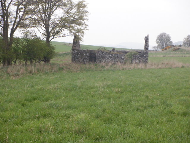
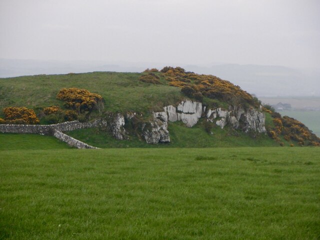
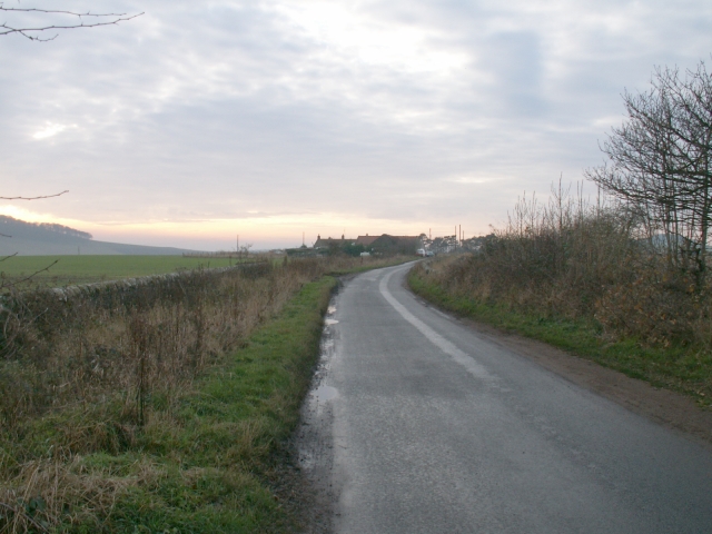
Black Wood is a picturesque forest located in the region of Fife, Scotland. Covering an area of approximately 130 hectares, this enchanting woodland is nestled between the villages of Auchtertool and Cowdenbeath. It is a popular destination for nature enthusiasts, hikers, and those seeking a serene escape from the bustling city life.
The forest is predominantly composed of mature broadleaf trees, including oak, beech, and ash, which create a dense canopy that filters sunlight, creating a cool and peaceful atmosphere. The woodland floor is adorned with a vibrant carpet of bluebells in the spring, making it a breathtaking sight for visitors.
Black Wood is home to a diverse range of wildlife. Visitors may catch glimpses of red squirrels darting amongst the treetops or spot roe deer gracefully grazing in the clearings. Birdwatchers will be delighted by the variety of avian species, including woodpeckers, tits, and thrushes, that call this woodland their home.
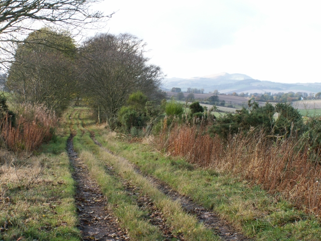
The forest offers a network of well-maintained trails, making it accessible for walkers and hikers of all abilities. These paths wind through the woodland, leading visitors to tranquil ponds and beautiful viewpoints, where they can take in the stunning scenery.
Managed by the Woodland Trust, Black Wood is not only a haven for nature but also serves as an important conservation site. The trust actively works to preserve and enhance the forest's biodiversity, ensuring it remains a thriving and valuable habitat for generations to come.
If you have any feedback on the listing, please let us know in the comments section below.
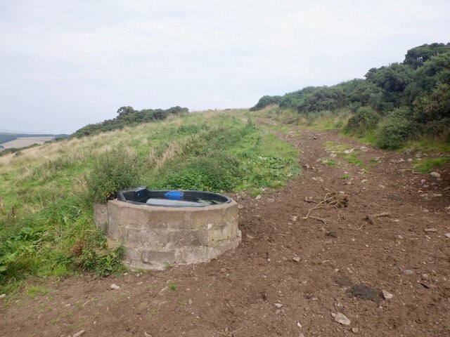
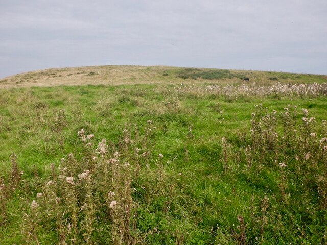
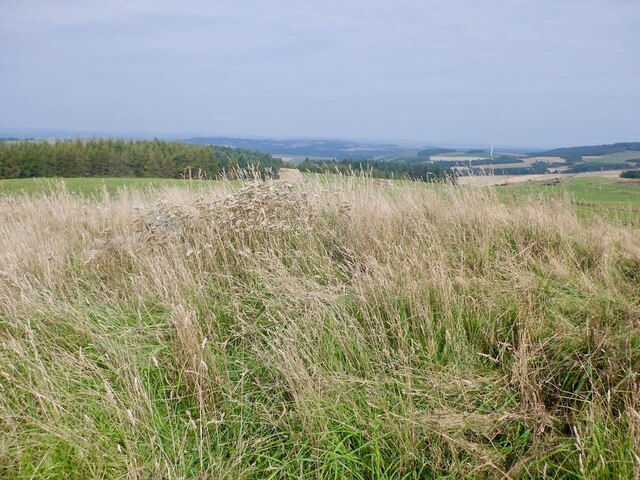
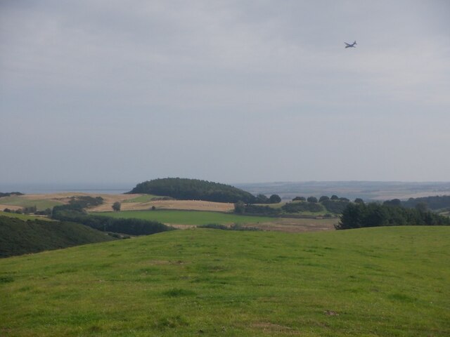
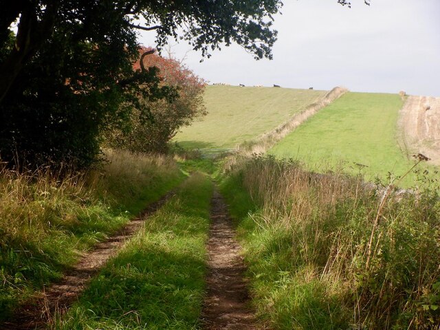
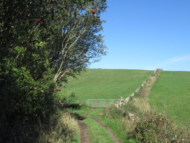
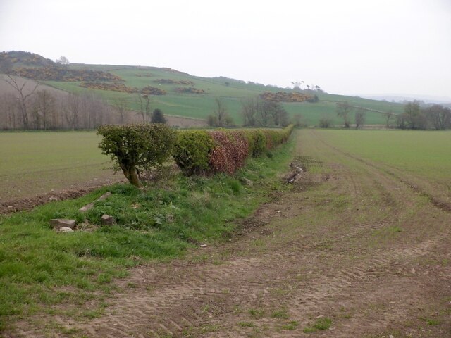
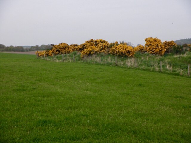
Black Wood Images
Images are sourced within 2km of 56.363014/-2.9717394 or Grid Reference NO4019. Thanks to Geograph Open Source API. All images are credited.


Black Wood is located at Grid Ref: NO4019 (Lat: 56.363014, Lng: -2.9717394)
Unitary Authority: Fife
Police Authority: Fife
What 3 Words
///music.warriors.charities. Near Balmullo, Fife
Nearby Locations
Related Wikis

Logie, Fife
Logie (Scottish Gaelic: An Lagan) is a parish and village in east Fife, Scotland, 5 miles north-east of Cupar.The parish is bounded on the east by the...
Dairsie Hoard
The Dairsie Hoard is a hoard of late 3rd century Roman hacksilver that was found near Dairsie, Fife, Scotland in 2014 by a teenage boy, David Hall, at...

Dairsie
Dairsie, or Osnaburgh, is a village and parish in north-east Fife, Scotland. It is 3 miles (4.8 km) south-southwest of Leuchars Junction, and 3 miles...
Kilmany Parish Church
Kilmany Parish Church is an ancient church building in Kilmany, Fife, Scotland. Dating to 1768, it is Category A listed.The church's pulpit was re-seated...
Have you been to Black Wood?
Leave your review of Black Wood below (or comments, questions and feedback).