Bellyhack Wood
Wood, Forest in Banffshire
Scotland
Bellyhack Wood
Bellyhack Wood is a picturesque forest located in Banffshire, Scotland. Spread over an area of approximately 100 hectares, this enchanting wood is known for its diverse flora and fauna, making it a popular destination for nature enthusiasts and hikers.
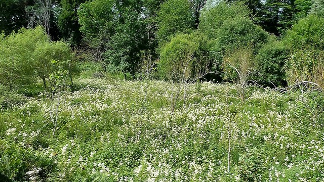
The wood is primarily composed of native broadleaf trees, including oak, birch, and beech, which create a lush green canopy that provides a cool and serene ambiance. The forest floor is adorned with a colorful carpet of wildflowers during spring, adding to its natural charm.
Bellyhack Wood is home to a wide variety of wildlife, including red squirrels, roe deer, and a plethora of bird species, making it a haven for birdwatchers. Visitors may also spot the elusive Scottish wildcat, which is known to inhabit the area.
Several well-marked trails traverse the wood, catering to both beginner and experienced hikers. These trails offer breathtaking views of the surrounding countryside and lead to hidden gems such as tranquil streams and small waterfalls.
In addition to its natural beauty, Bellyhack Wood also holds historical significance. The wood was once part of an ancient royal hunting ground and remnants of old stone structures can still be found, hinting at its past.
Overall, Bellyhack Wood in Banffshire is a captivating destination that offers a delightful mix of natural beauty, wildlife, and historical intrigue. Whether one seeks a peaceful stroll amidst nature, a thrilling hike, or an opportunity to spot rare wildlife, this forest has something to offer for everyone.
If you have any feedback on the listing, please let us know in the comments section below.
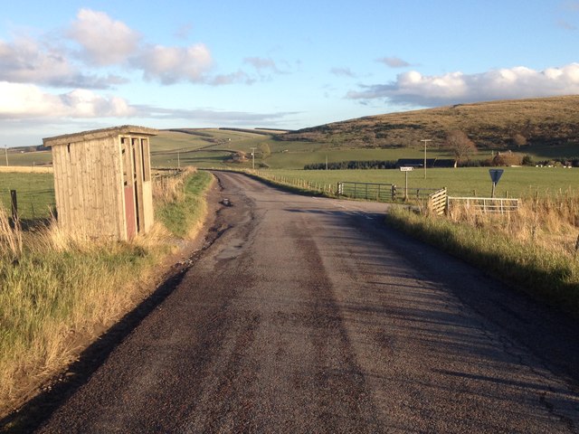
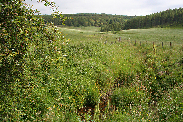
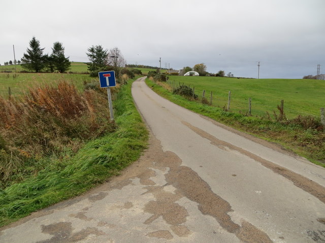
Bellyhack Wood Images
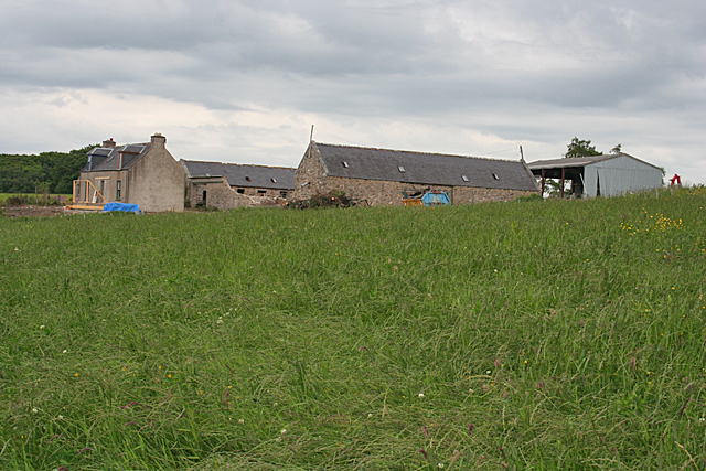
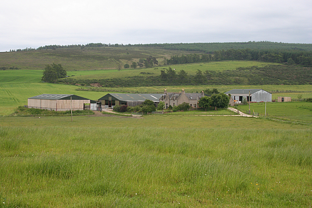
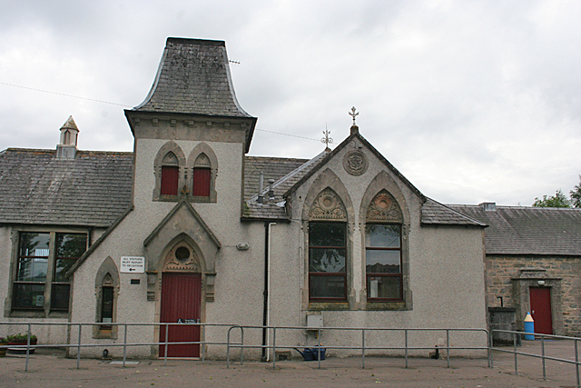
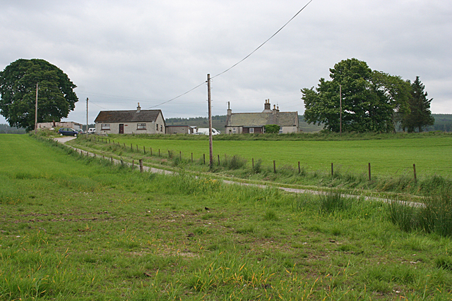
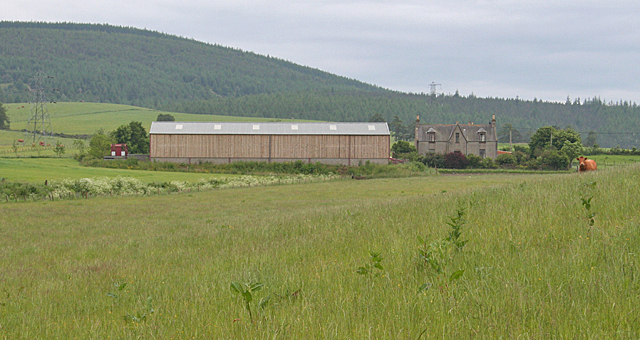
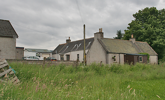
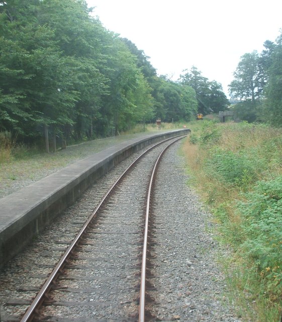
Images are sourced within 2km of 57.47564/-3.0125872 or Grid Reference NJ3943. Thanks to Geograph Open Source API. All images are credited.

Bellyhack Wood is located at Grid Ref: NJ3943 (Lat: 57.47564, Lng: -3.0125872)
Unitary Authority: Moray
Police Authority: North East
What 3 Words
///pouch.about.whisk. Near Dufftown, Moray
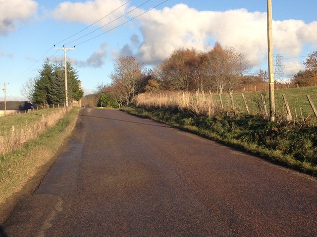
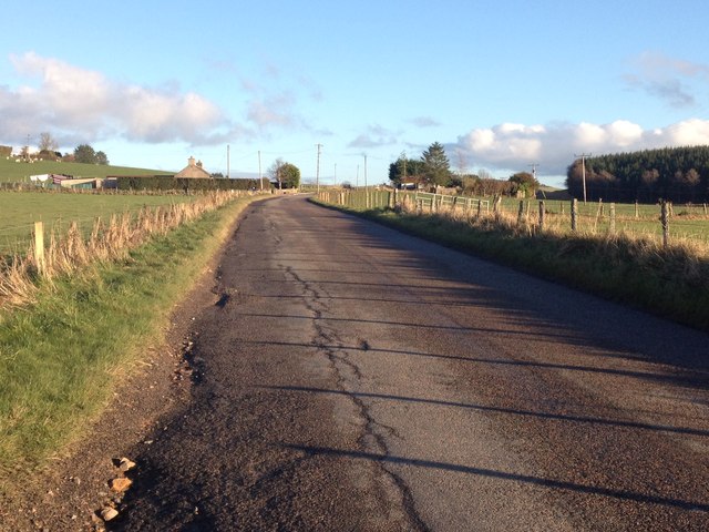
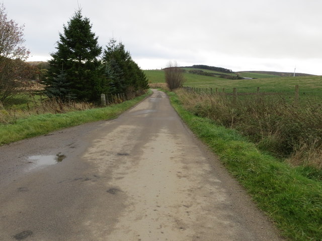
Nearby Locations
Related Wikis

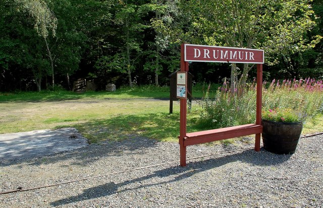
Drummuir
Drummuir (Scottish Gaelic: Druim Iubhair) is a small village in Scotland, in the traditional county of Banffshire, and in the Moray council area. It is...

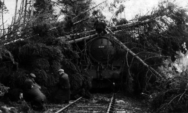
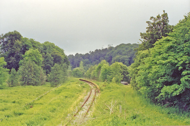
Drummuir railway station
Drummuir railway station is a preserved station that serves the village of Drummuir, Moray, Scotland on the Keith and Dufftown Railway. The station also...
Towiemore Halt railway station
Towiemore Halt railway station served the hamlet of Towiemore and its distillery as a private and later as a public halt in Moray, Scotland, from 1937...

Drummuir Curlers' Platform railway station
Drummuir Curlers' Platform railway station was a private station opened on the Keith and Dufftown Railway for the use of the curlers belonging to the Drummuir...
Nearby Amenities
Located within 500m of 57.47564,-3.0125872Have you been to Bellyhack Wood?
Leave your review of Bellyhack Wood below (or comments, questions and feedback).