Cross Strip
Wood, Forest in Midlothian
Scotland
Cross Strip

Cross Strip is a small, picturesque village located in Midlothian, Scotland. Nestled among the woodlands and forests of the region, the village is known for its serene and natural surroundings.
The name "Cross Strip" is derived from the intersection of two main roads that run through the village, forming a cross shape. This central point serves as a focal point for the local community, with a small square featuring a traditional market cross. The village is surrounded by lush greenery, with dense forests and woodlands providing a scenic backdrop.
The residential area of Cross Strip primarily consists of charming cottages and houses, many of which have retained their traditional Scottish character. The village is home to a close-knit community, where residents take pride in preserving the natural beauty of their surroundings.
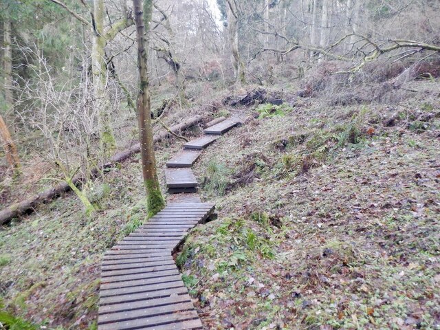
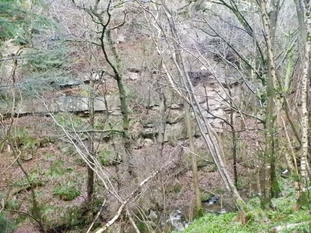
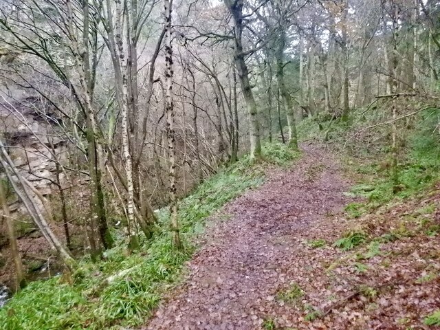
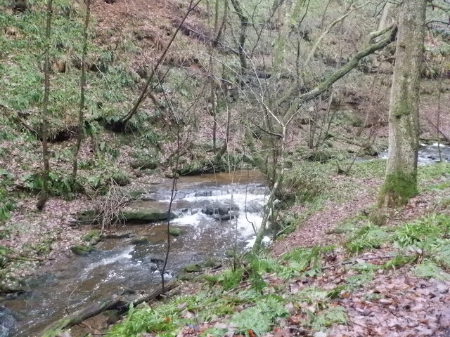
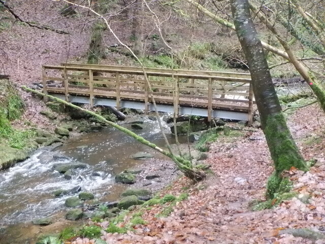
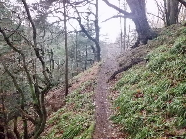
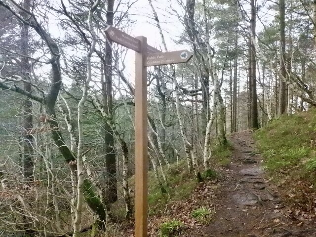
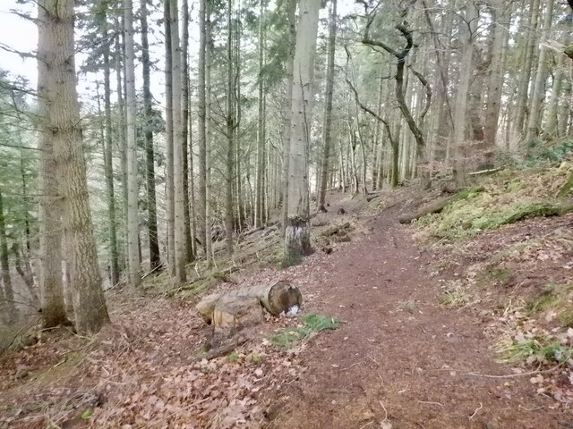
Nature enthusiasts are drawn to Cross Strip for its abundance of outdoor activities. The nearby woodlands and forests offer numerous walking and hiking trails, providing opportunities to explore the stunning countryside. Visitors can also enjoy picnicking by the river or fishing in the pristine waters.
Despite its rural setting, Cross Strip is well-connected to neighboring towns and cities. The village boasts a few small businesses and amenities, including a local pub and a convenience store. For more extensive shopping and entertainment options, residents can easily access the nearby town of Midlothian.
In summary, Cross Strip is an idyllic, woodland village in Midlothian, offering a peaceful and natural retreat for residents and visitors alike.
If you have any feedback on the listing, please let us know in the comments section below.
Cross Strip Images
Images are sourced within 2km of 55.807358/-2.9934906 or Grid Reference NT3757. Thanks to Geograph Open Source API. All images are credited.


Cross Strip is located at Grid Ref: NT3757 (Lat: 55.807358, Lng: -2.9934906)
Unitary Authority: Midlothian
Police Authority: The Lothians and Scottish Borders
What 3 Words
///weep.plodded.bookings. Near Gorebridge, Midlothian
Nearby Locations
Related Wikis

Falahill
Falahill is a village in the Scottish Borders, in the Moorfoot Hills, at NT387563, in the Parish of Heriot, and close to the border with Midlothian. Nearby...

Tynehead railway station
Tynehead railway station served the village of Pathhead, Midlothian, Scotland from 1848 to 1969 on the Waverley Line. == History == The station opened...

Borthwick
Borthwick is a hamlet, parish and stream in Midlothian, Scotland. The parish includes the 15th century Borthwick Castle, which is to the east of the village...

Borthwick Castle
Borthwick Castle is one of the largest and best-preserved surviving medieval Scottish fortifications. It is located twelve miles (19 km) south-east of...
Have you been to Cross Strip?
Leave your review of Cross Strip below (or comments, questions and feedback).