Caverswall
Settlement in Staffordshire Staffordshire Moorlands
England
Caverswall
Caverswall is a small village located in the Staffordshire Moorlands district of Staffordshire, England. Situated approximately six miles east of Stoke-on-Trent, it is surrounded by picturesque countryside and offers a tranquil and idyllic setting for its residents.
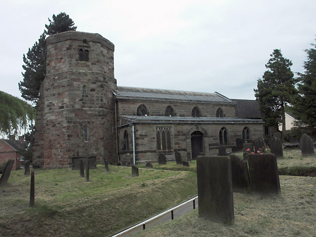
The village is known for its rich history, with evidence of human habitation dating back to the Bronze Age. Caverswall Castle, a Grade I listed building, stands proudly in the heart of the village. Originally built in the 13th century, it has undergone various renovations over the centuries and is now a popular tourist attraction.
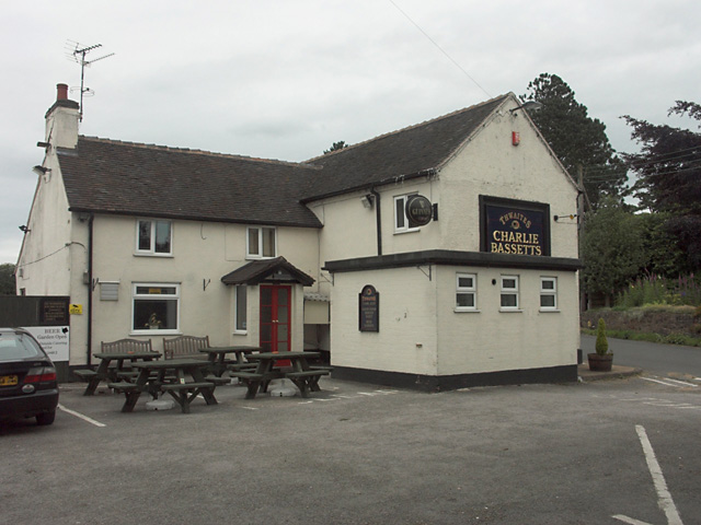
The village itself is characterized by its quaint and charming atmosphere, with traditional stone cottages lining the streets. It has a tight-knit community feel and offers a range of amenities, including a primary school, village hall, and a handful of local shops and pubs.
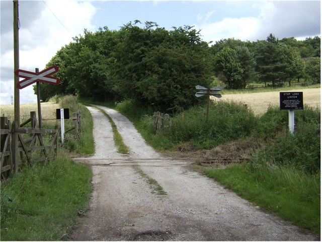
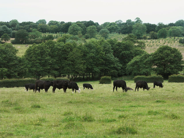
Nature lovers and outdoor enthusiasts are drawn to Caverswall due to its proximity to the Staffordshire countryside. There are numerous walking and cycling trails in the surrounding areas, providing opportunities for exploration and outdoor activities.
Caverswall is also conveniently located for those commuting to nearby towns and cities, with good transport links to Stoke-on-Trent and other major centers. The village benefits from a peaceful and rural setting while still being within reach of urban amenities.
Overall, Caverswall is a charming and historic village that offers a tranquil lifestyle and a strong sense of community. Its beautiful surroundings and convenient location make it an attractive place to live for both residents and visitors alike.
If you have any feedback on the listing, please let us know in the comments section below.
Caverswall Images
Images are sourced within 2km of 52.983562/-2.0742537 or Grid Reference SJ9542. Thanks to Geograph Open Source API. All images are credited.


Caverswall is located at Grid Ref: SJ9542 (Lat: 52.983562, Lng: -2.0742537)
Administrative County: Staffordshire
District: Staffordshire Moorlands
Police Authority: Staffordshire
What 3 Words
///corn.shoulders.solving. Near Longton, Staffordshire
Nearby Locations
Related Wikis

Caverswall
Caverswall is a village and parish in Staffordshire, to the south west of Staffordshire Moorlands. In the middle of the 19th century there were about 1500...

Caverswall Castle
Caverswall Castle is a privately owned early-17th-century English mansion built in a castellar style upon the foundations and within the walls of a 13th...

Cookshill
Cookshill is a small village in the civil parish of Caverswall, Staffordshire, England, near to Weston Coyney. == References ==

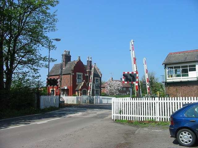
Caverswall Road railway station
Caverswall Road railway station is a heritage railway station on the Foxfield Railway in Staffordshire. It serves as the centre of the railway's operations...
Nearby Amenities
Located within 500m of 52.983562,-2.0742537Have you been to Caverswall?
Leave your review of Caverswall below (or comments, questions and feedback).