Cowiemuir Wood

Wood, Forest in Banffshire

Scotland

Cowiemuir Wood

Frosted Seedhead I think it's a seedhead of Hogweed (Heracleum sphondylium).
Frosted Seedhead Credit: Anne Burgess

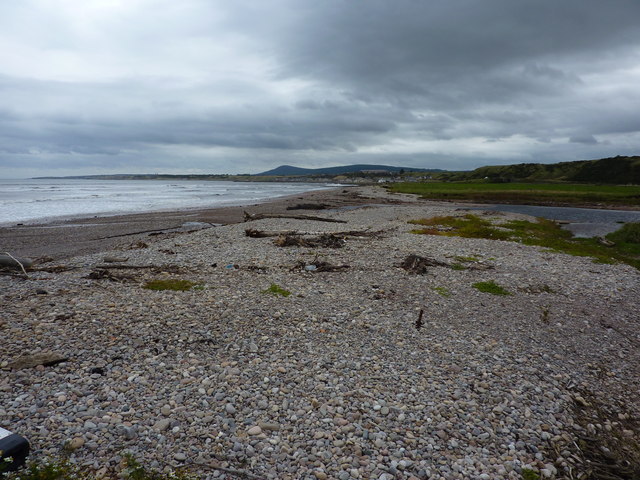
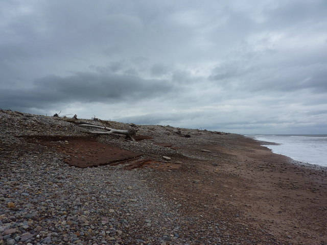
Cowiemuir Wood is a picturesque forest located in Banffshire, Scotland. Stretching across an area of approximately 200 hectares, it is a haven for nature lovers and outdoor enthusiasts alike. The woodland is situated near the charming village of Cowie, just a short distance from the stunning coastline of the Moray Firth.

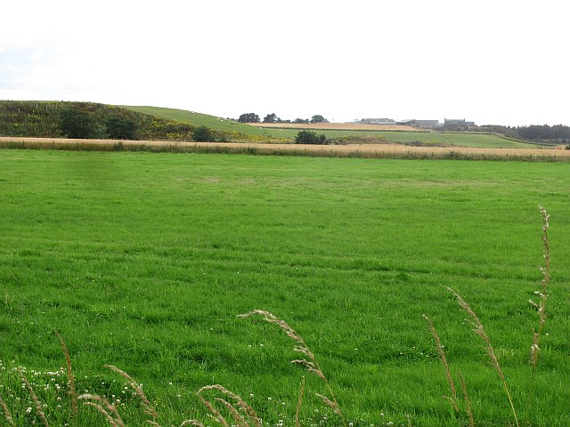
The wood boasts a diverse range of tree species, including oak, birch, and pine, creating a rich and vibrant ecosystem. The canopy formed by the tall trees provides a sheltered environment for a variety of wildlife, making it a prime spot for birdwatching and nature photography.

Visitors to Cowiemuir Wood can explore a network of well-maintained trails that wind through the forest, offering breathtaking views and an opportunity to immerse oneself in the tranquil surroundings. The paths are suitable for walkers of all abilities and are often used by local residents for leisurely strolls or dog walking.

In addition to its natural beauty, Cowiemuir Wood holds historical significance. The remnants of an Iron Age hillfort can be found within the woodland, providing a glimpse into the area's ancient past. Archaeological enthusiasts can explore the site and imagine what life might have been like for its inhabitants centuries ago.

Overall, Cowiemuir Wood is a hidden gem in Banffshire, offering a peaceful retreat from the hustle and bustle of everyday life. Its combination of stunning scenery, diverse flora and fauna, and a touch of history make it a must-visit destination for those seeking a connection with nature.

If you have any feedback on the listing, please let us know in the comments section below.

Cowiemuir Wood Images

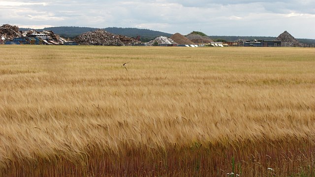
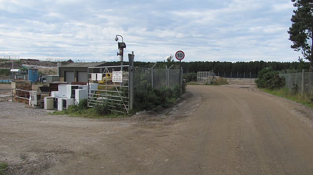
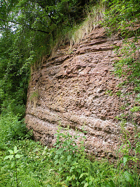
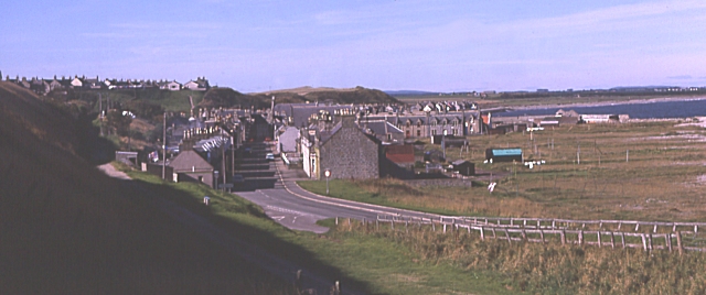
Images are sourced within 2km of 57.650968/-3.0535422 or Grid Reference NJ3762. Thanks to Geograph Open Source API. All images are credited.

Frosted Seedhead I think it's a seedhead of Hogweed (Heracleum sphondylium).
Frosted Seedhead
I think it's a seedhead of Hogweed (Heracleum sphondylium).
Frosted Seedhead I think it's a seedhead of Hogweed (Heraclwum sphondylium)
Frosted Seedhead
I think it's a seedhead of Hogweed (Heraclwum sphondylium)
Beach near Portgordon The upper part of the shingle beach is frozen solid, but the salt sea water has thawed the ice further down.
Beach near Portgordon
The upper part of the shingle beach is frozen solid, but the salt sea water has thawed the ice further down.
Short Stream The burn rises in the shingle bank and flows only a few metres across the beach to reach the sea.
Short Stream
The burn rises in the shingle bank and flows only a few metres across the beach to reach the sea.
Birds on the Beach There must have been thousands of birds roosting on the beach west of Tannachy.
Birds on the Beach
There must have been thousands of birds roosting on the beach west of Tannachy.
Craa on a Branch Actually I think the crow is a Rook. It was perching on a branch of a tree root washed up by a storm.
Craa on a Branch
Actually I think the crow is a Rook. It was perching on a branch of a tree root washed up by a storm.
Twisted Stump This looks like a collection of stumps of several bushes, dumped beside the burn.
Twisted Stump
This looks like a collection of stumps of several bushes, dumped beside the burn.
Hoar Frost Ice crystals on blades of grass beside the path.
Hoar Frost
Ice crystals on blades of grass beside the path.
Frosted Seedheads The frost has former of seedheads of Knapweed (Centaurea nigra).
Frosted Seedheads
The frost has former of seedheads of Knapweed (Centaurea nigra).
Tannachy Sands Beach to the west of Portgordon, Moray Firth.
Tannachy Sands
Beach to the west of Portgordon, Moray Firth.
Shingle beach between Portgordon and Spey Bay Lots of drift wood and dead tree roots on this coast.
Shingle beach between Portgordon and Spey Bay
Lots of drift wood and dead tree roots on this coast.
Grassland, Tannachy A silage crop has earlier been taken from this field.
Grassland, Tannachy
A silage crop has earlier been taken from this field.
Barley, Auchenreath Ripening barley on sandy soils near the mouth of the Spey.
Barley, Auchenreath
Ripening barley on sandy soils near the mouth of the Spey.
Dallachy Airfield The site of RAF Dallachy is now farmed along with a waste disposal site on the hard standing of one of the runways.
Dallachy Airfield
The site of RAF Dallachy is now farmed along with a waste disposal site on the hard standing of one of the runways.
Recycling centre, Dallachy The tip is situated in a gravel pit on the perimeter of the old airfield.
Recycling centre, Dallachy
The tip is situated in a gravel pit on the perimeter of the old airfield.
A memorial to the fallen of Dallochy airfield Dallachy field served as a launching point for counter shipping measures in the North sea during World War 2.<a href="https://www.geograph.org.uk/photo/2888950">NJ3562 : Lessons from the past?</a>
A memorial to the fallen of Dallochy airfield
Dallachy field served as a launching point for counter shipping measures in the North sea during World War 2.NJ3562 : Lessons from the past?
Lessons from the past? The plaque is found on the memorial in Bogmoor. <a href="https://www.geograph.org.uk/photo/2888939">NJ3562 : A memorial to the fallen of Dallochy airfield</a>
Lessons from the past?
The plaque is found on the memorial in Bogmoor. NJ3562 : A memorial to the fallen of Dallochy airfield
Old Red Sandstone This cliff face is of Old Red Sandstone, laid down some 350 million years ago at the margin of Lake Orcadie, which occupied an area roughly similar to that of the Moray Firth. Outcrops along the Burn of Tynet have yielded many fossils of Devonian fish, and has consequently been designated a Site of Special Scientific Interest. The fish-bearing strata are not in this particular cliff, which is lower down the succession.
Old Red Sandstone
This cliff face is of Old Red Sandstone, laid down some 350 million years ago at the margin of Lake Orcadie, which occupied an area roughly similar to that of the Moray Firth. Outcrops along the Burn of Tynet have yielded many fossils of Devonian fish, and has consequently been designated a Site of Special Scientific Interest. The fish-bearing strata are not in this particular cliff, which is lower down the succession.
Show me another place!

Cowiemuir Wood is located at Grid Ref: NJ3762 (Lat: 57.650968, Lng: -3.0535422)

Unitary Authority: Moray

Police Authority: North East

What 3 Words

///habit.gravy.parkland. Near Fochabers, Moray

Related Wikis

Lower Auchenreath

Lower Auchenreath is a tiny rural settlement situated in the North East Coast of Scotland. It is home to a mixed arable/animal farm and is only a mile...

Upper Dallachy

Upper Dallachy is a small village situated in Moray, Scotland, approximately 2 miles south-east of Spey Bay. The village is located next to the now-abandoned...

St Ninian's Church, Tynet

St Ninian's Church, Tynet is a historic Roman Catholic clandestine church located at Tynet about 4 miles to the west of Buckie, Scotland in the Enzie region...

Spey Bay railway station

Spey Bay railway station was a railway station in Spey Bay, Moray. The railway station was opened by the Great North of Scotland Railway (GNoSR) on its...

Portgordon railway station

Portgordon railway station was a railway station in Portgordon in Moray, Scotland. The railway station was opened by the Great North of Scotland Railway...

Gordon Tomb

The Gordon Tomb is a classical colonnaded mausoleum in the parish of Bellie in Moray, Scotland. It houses the sarcophagi of the second wife of the 4th...

Old Church of St John

The Old Church of St John is a ruined church, incorporating a finely carved sacrament house and situated within a historic burial ground in Kirktown of...

Portgordon

Portgordon, or sometimes Port Gordon, (Scottish Gaelic: Port Ghòrdain) is a village in Moray, Scotland, 2 km (1+1⁄4 mi) south-west of Buckie. It was established...

Nearby Amenities

Located within 500m of 57.650968,-3.0535422
Power: pole
Lat/Long: 57.6535973/-3.0476487
Power: pole
Lat/Long: 57.6529892/-3.0487651
Power: pole
Lat/Long: 57.6522318/-3.0492022
Power: pole
Lat/Long: 57.6514905/-3.0496326
Power: pole
Lat/Long: 57.6507474/-3.0500563
Power: pole
Lat/Long: 57.6501213/-3.0508533
Power: pole
Lat/Long: 57.6494717/-3.0516603
Power: pole
Lat/Long: 57.648842/-3.0524471
Power: pole
Lat/Long: 57.6482284/-3.0532306
Power: pole
Lat/Long: 57.647568/-3.0540813
Power: pole
Lat/Long: 57.646877/-3.0549388
Dryburn
Place: isolated_dwelling
Lat/Long: 57.6531416/-3.0506119
The data included in this document is from www.openstreetmap.org. The data is made available under ODbL.

Have you been to Cowiemuir Wood?

Leave your review of Cowiemuir Wood below (or comments, questions and feedback).