Crescent Wood

Wood, Forest in Fife

Scotland

Crescent Wood

Letham Farm Old building among new farm buildings
Letham Farm Credit: James Allan

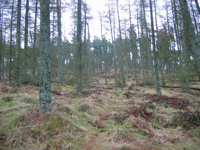
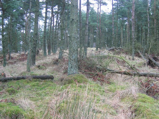
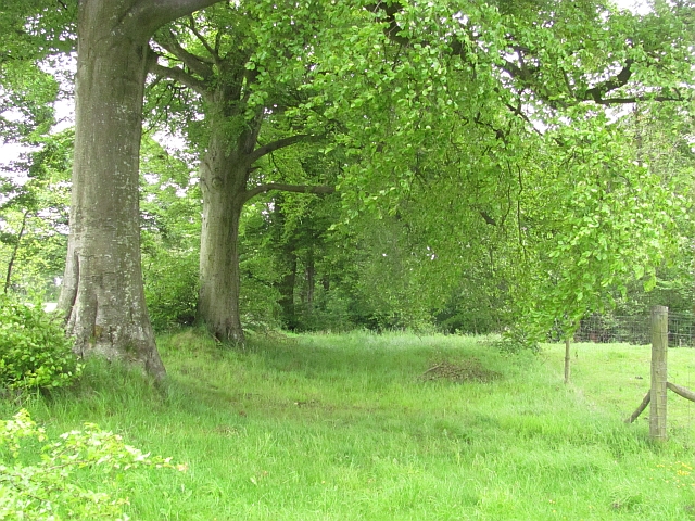
Crescent Wood, located in Fife, Scotland, is a picturesque forest that covers an area of approximately 100 acres. The wood is situated near the village of Woodend, nestled between the coastal town of Burntisland and the town of Kinghorn. Crescent Wood is renowned for its natural beauty and is a popular destination for locals and tourists alike.

The wood consists mainly of native deciduous and coniferous trees, including oak, beech, birch, and pine. These trees create a dense canopy that provides shelter and a thriving ecosystem for various wildlife species. Visitors to Crescent Wood can expect to spot a variety of birds, such as woodpeckers, owls, and robins, as well as small mammals like squirrels and deer.

There are several walking trails that crisscross through the wood, allowing visitors to explore its enchanting surroundings. These paths are well-maintained and offer panoramic views of the wood's diverse flora and fauna. Additionally, there are designated picnic areas and benches scattered throughout the wood, providing opportunities for visitors to relax and enjoy the peaceful ambiance.

Crescent Wood holds historical significance as well, with remnants of ancient settlements and historic landmarks found within its boundaries. Archaeological discoveries suggest that the area has been inhabited since prehistoric times, and evidence of Iron Age and Roman settlements has been unearthed.

Overall, Crescent Wood offers a tranquil and captivating experience for nature enthusiasts, history buffs, and those seeking solace in the midst of Scotland's natural wonders.

If you have any feedback on the listing, please let us know in the comments section below.

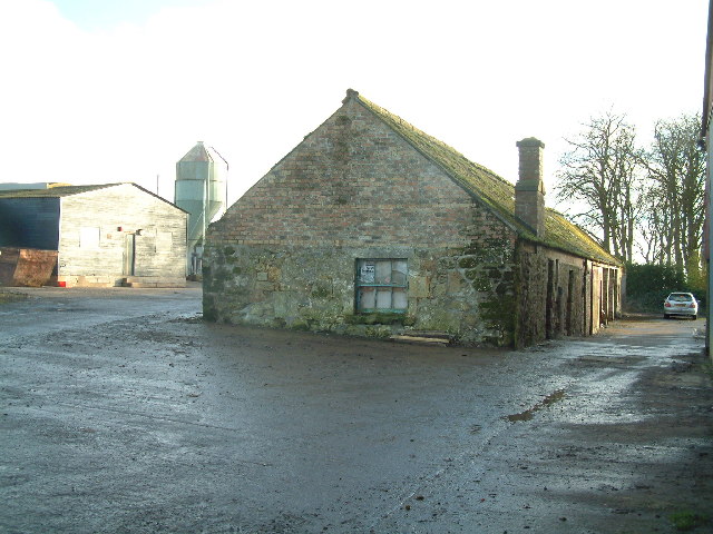
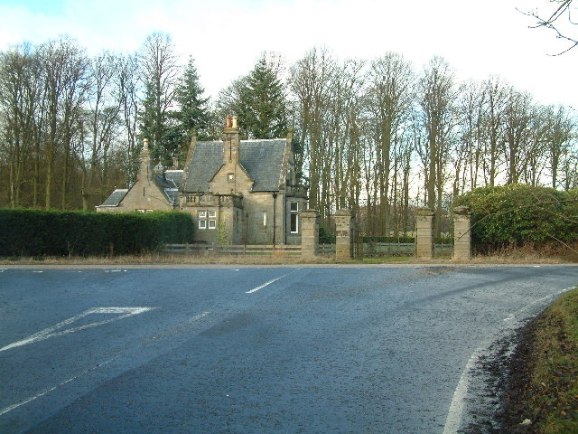
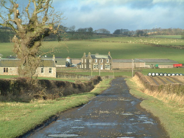
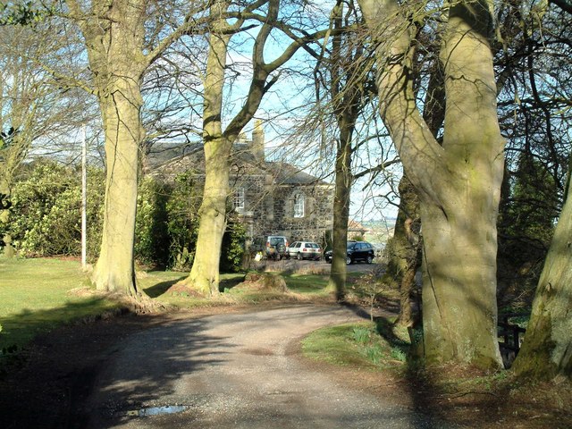
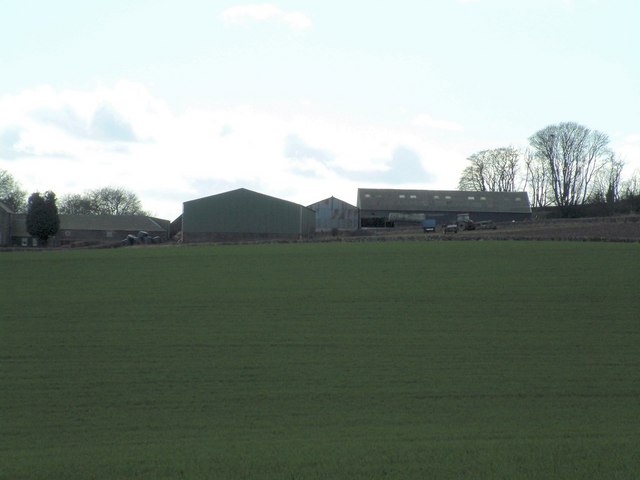
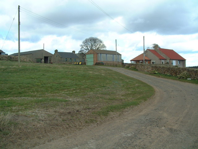
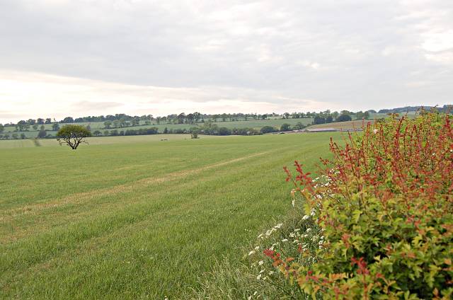
Crescent Wood Images

Images are sourced within 2km of 56.240719/-3.0146559 or Grid Reference NO3705. Thanks to Geograph Open Source API. All images are credited.

Letham Farm Old building among new farm buildings
Letham Farm
Old building among new farm buildings
Gatehouse of Montrave Estate
Nether Pratis Farm
Nether Pratis Farm
Clatto Hill Open land in the 1940s, now home to mature forestry.
Clatto Hill
Open land in the 1940s, now home to mature forestry.
Clatto Hill The summit. The trig point was marked with claw marks. Given the talk of leopards in the woods of Fife, I was relieved to see that they were the work of badgers.
Clatto Hill
The summit. The trig point was marked with claw marks. Given the talk of leopards in the woods of Fife, I was relieved to see that they were the work of badgers.
Letham Feus Holiday Camp A caravan site north-east of Bennybank
Letham Feus Holiday Camp
A caravan site north-east of Bennybank
New house, old doocot Montrave Home Farm is turning into a residential area but some of the original buildings, such as the doocot (dove cot) seen here, still are preserved.
New house, old doocot
Montrave Home Farm is turning into a residential area but some of the original buildings, such as the doocot (dove cot) seen here, still are preserved.
Salter's Neuk Wood Looking south from near Muirhead
Salter's Neuk Wood
Looking south from near Muirhead
Pratis House
Pratis House
Colliston Hill Kilmux Wood crowns Colliston Hill
Colliston Hill
Kilmux Wood crowns Colliston Hill
Kilmux Farm Viewed from the north-east
Kilmux Farm
Viewed from the north-east
Clatto Barns A working farm, with an active motorcycle off-road track within its grounds.
Clatto Barns
A working farm, with an active motorcycle off-road track within its grounds.
By Nether Pratis Looking north towards Nether Pratis Farm
By Nether Pratis
Looking north towards Nether Pratis Farm
Beeches, Pratis Old beeches beside the road (A916).
Beeches, Pratis
Old beeches beside the road (A916).
Farmland near Letham Agricultural land in Fife, with Largo Law visible in the distance
Farmland near Letham
Agricultural land in Fife, with Largo Law visible in the distance
Arable land near Letham Murky wet day in the farmlands of Fife.
Arable land near Letham
Murky wet day in the farmlands of Fife.
Filled in cutting A railway bridge is now flush with the surrounding farmland after a cutting was filled. Old fencing and plastic in the soil suggests that this was a landfill site.

The East Fife Central Railway was for most of its life a freight line and was never completed. It was intended to reach St Andrews via a junction at Kingsbarns.
Filled in cutting
A railway bridge is now flush with the surrounding farmland after a cutting was filled. Old fencing and plastic in the soil suggests that this was a landfill site. The East Fife Central Railway was for most of its life a freight line and was never completed. It was intended to reach St Andrews via a junction at Kingsbarns.
Gate and lodge, Montrave One of the estate entrances
Gate and lodge, Montrave
One of the estate entrances
Show me another place!

Crescent Wood is located at Grid Ref: NO3705 (Lat: 56.240719, Lng: -3.0146559)

Unitary Authority: Fife

Police Authority: Fife

What 3 Words

///coughed.prospers.floating. Near Kennoway, Fife

Nearby Locations

Letham Den Crescent Wood

Related Wikis

Bonnybank

Bonnybank is a small village in the Levenmouth area of Fife, approximately 2 miles north of Leven and situated on the main road (the A916) between Kennoway...
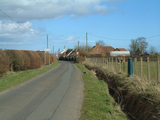
Baintown

Baintown is a hamlet located in Fife, a council area of Scotland, UK.

East Fife G.W.F.C.

East Fife Girls and Women's Football Club are a Scottish women's football team based in the Fife coastal town of Leven. The team, established in 2000,...

Priestfield House

Priestfield House was a Victorian Country House near Cults, Fife, Scotland. == History == The estate, originally an outlying property of Crawford Priory...

Nearby Amenities

Located within 500m of 56.240719,-3.0146559
Ele: 152
Natural: peak
Lat/Long: 56.2402743/-3.011541
Power: pole
Lat/Long: 56.2369044/-3.0152267
Power: pole
Lat/Long: 56.237611/-3.0155244
Power: pole
Lat/Long: 56.2384293/-3.015865
Power: pole
Lat/Long: 56.2390931/-3.016169
Power: pole
Lat/Long: 56.2399644/-3.0165017
Power: pole
Lat/Long: 56.2407616/-3.0168386
Power: pole
Lat/Long: 56.2415532/-3.0171608
Power: pole
Lat/Long: 56.2423524/-3.0173429
Power: pole
Lat/Long: 56.2431309/-3.0175297
Power: pole
Lat/Long: 56.2438913/-3.0177025
Power: pole
Lat/Long: 56.2445296/-3.0177679
The data included in this document is from www.openstreetmap.org. The data is made available under ODbL.

Have you been to Crescent Wood?

Leave your review of Crescent Wood below (or comments, questions and feedback).