Braeside

Wood, Forest in Aberdeenshire

Scotland

Braeside

The Spar shop at Bellabeg And the proprietor is a fount of local knowledge - very helpful to the tourist!  There is even a "Tourist Information" sign on the leaning pole - it must have had 'an incident'!
The Spar shop at Bellabeg Credit: Gordon Brown

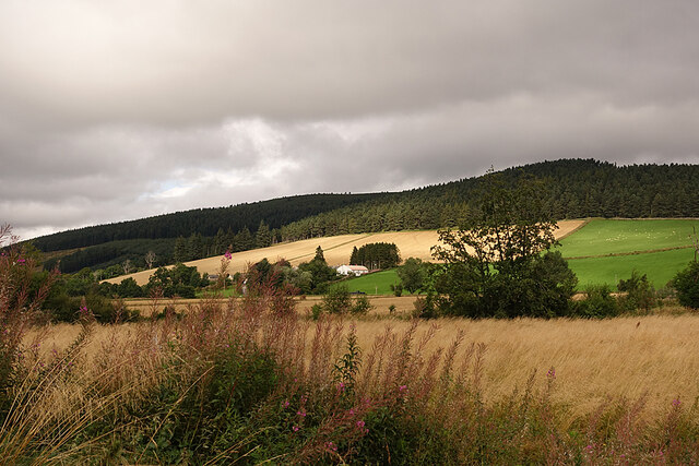
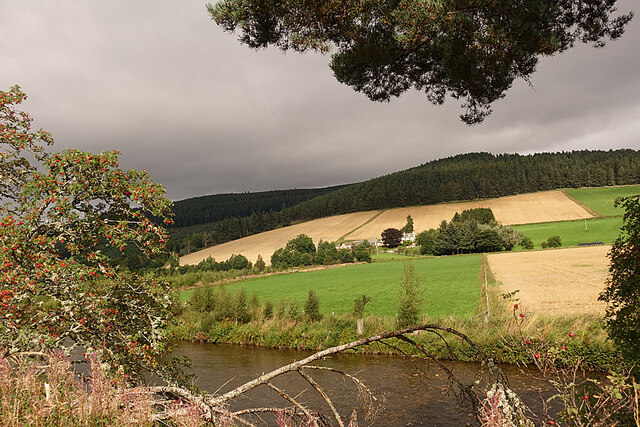
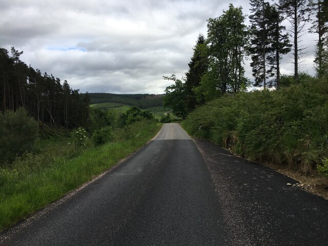
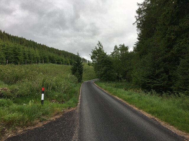
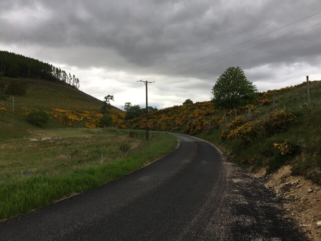
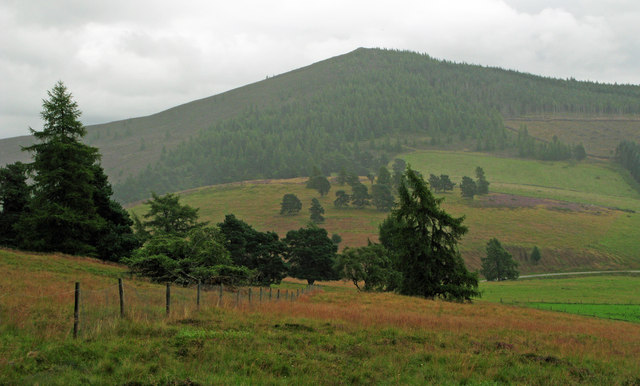
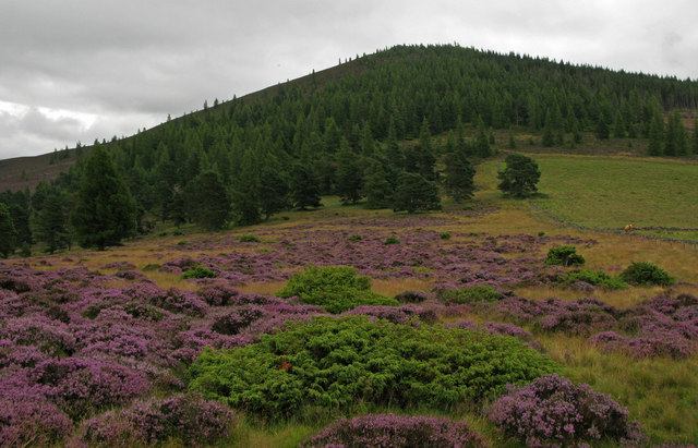
Braeside is a picturesque village located in Aberdeenshire, Scotland. Situated in a hilly area, the village is known for its lush woodlands and enchanting forests, making it a haven for nature lovers and outdoor enthusiasts. With its stunning natural beauty, Braeside offers a serene and peaceful environment for residents and visitors alike.

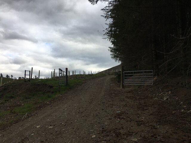
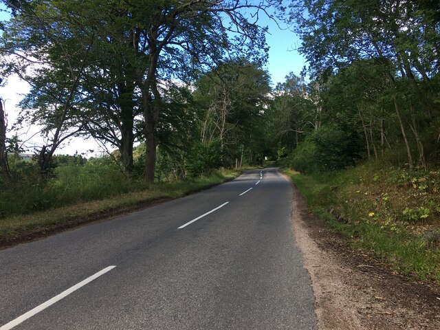
The village is surrounded by dense woodlands that are home to a diverse range of flora and fauna. The tall trees provide a canopy of shade, creating a cool and refreshing atmosphere. Walking trails wind through the forests, offering opportunities for hiking, birdwatching, and exploring the local wildlife.

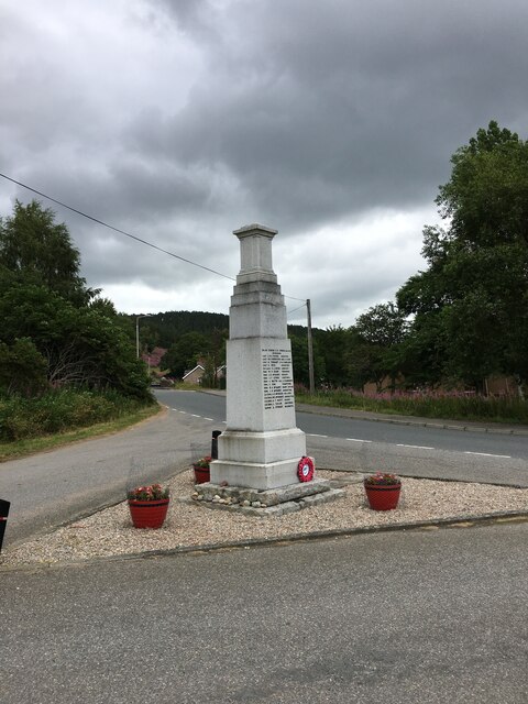
In addition to its natural charm, Braeside is also known for its rich history. The village is home to several historic landmarks, including ancient stone circles and burial sites. These archaeological treasures provide a glimpse into the village's ancient past and attract history enthusiasts from near and far.

The community in Braeside is tight-knit, with a small population that values the tranquility and beauty of their surroundings. The village has a warm and welcoming atmosphere, with friendly residents who take pride in their village and its natural heritage.

Overall, Braeside is a hidden gem in Aberdeenshire, offering a unique blend of natural beauty and historical significance. With its woodlands, forests, and rich history, the village is a true paradise for nature lovers and history buffs alike.

If you have any feedback on the listing, please let us know in the comments section below.
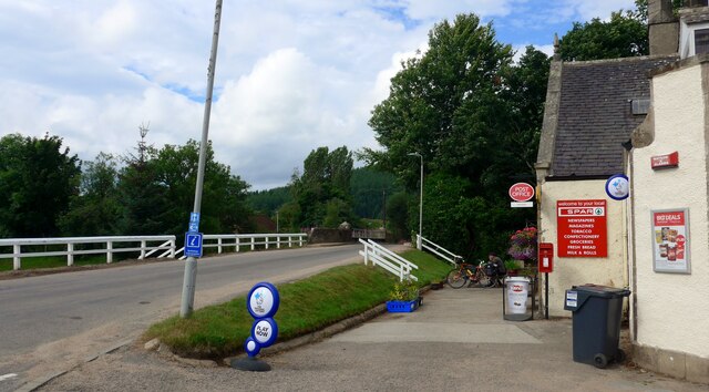
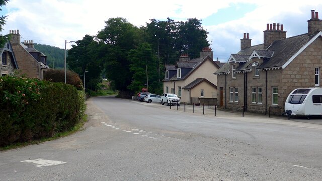
Braeside Images

Images are sourced within 2km of 57.21402/-3.0474653 or Grid Reference NJ3614. Thanks to Geograph Open Source API. All images are credited.

The Spar shop at Bellabeg And the proprietor is a fount of local knowledge - very helpful to the tourist!  There is even a "Tourist Information" sign on the leaning pole - it must have had 'an incident'!
The Spar shop at Bellabeg
And the proprietor is a fount of local knowledge - very helpful to the tourist! There is even a "Tourist Information" sign on the leaning pole - it must have had 'an incident'!
Quiet Bellabeg street
Strathdon Looking across the River Don to the Colquhonnie Hotel, which stands on the northern slope above the strath.
Strathdon
Looking across the River Don to the Colquhonnie Hotel, which stands on the northern slope above the strath.
Looking towards Colquhonnie The River Don is in the foreground, and Colquhonnie is part-way up the sunlit fields on the far side.
Looking towards Colquhonnie
The River Don is in the foreground, and Colquhonnie is part-way up the sunlit fields on the far side.
Strathdon Parish Kirk This surprisingly elaborate Gothic kirk in a very rural parish was opened in 1852. It was funded by Charles Forbes of Newe and designed by James Matthews not long after his return from working with George Gilbert Scott in London. It occupies the same site as at least two earlier kirks, separated from the hamlet of Bellabeg by the River Don.
Strathdon Parish Kirk
This surprisingly elaborate Gothic kirk in a very rural parish was opened in 1852. It was funded by Charles Forbes of Newe and designed by James Matthews not long after his return from working with George Gilbert Scott in London. It occupies the same site as at least two earlier kirks, separated from the hamlet of Bellabeg by the River Don.
Minor road near Coull of Newe
Minor road to Glen Buchat
Minor road near Eastertown
Forestry entrance in Glen Buchat
War memorial, Strathdon
A944 near Strathdon
A944 near Strathdon
Minor road, Strathdon
Bellabeg Bridge This bridge carries the A944 road over the Water of Nochty.

The plaque on the bridge says:

Blaikie Brothers
Engineers
1881
Aberdeen
Bellabeg Bridge
This bridge carries the A944 road over the Water of Nochty. The plaque on the bridge says: Blaikie Brothers Engineers 1881 Aberdeen
Shop and post office, Bellabeg A Spar shop and post office, with a postbox outside.

This building was originally a bank and bank house. It is a Category C listed building. <span class="nowrap"><a title="https://portal.historicenvironment.scot/designation/LB50623" rel="nofollow ugc noopener" href="https://portal.historicenvironment.scot/designation/LB50623">Link</a><img style="margin-left:2px;" alt="External link" title="External link - shift click to open in new window" src="https://s1.geograph.org.uk/img/external.png" width="10" height="10"/></span>
Shop and post office, Bellabeg
A Spar shop and post office, with a postbox outside. This building was originally a bank and bank house. It is a Category C listed building. LinkExternal link
Old Milestone by the A944 at Forbestown Aberdeen granite by the A944, in parish of Strathdon (Grampian District), East of Strathdon, 100m from 40mph sign.

Inscription reads:-
44
(To Aberdeen)

Surveyed

Milestone Society National ID: AD_SDCB44
Old Milestone by the A944 at Forbestown
Aberdeen granite by the A944, in parish of Strathdon (Grampian District), East of Strathdon, 100m from 40mph sign. Inscription reads:- 44 (To Aberdeen) Surveyed Milestone Society National ID: AD_SDCB44
Mid Hill from Coul of Ledmacay on the SE slope of Raongeohda Hill
Declining hill slope south of Tom na Gabhar Slopes of grass descend eastwards towards a minor road. In the distance an incoming rain shower is about to pass over Ben Newe.
Declining hill slope south of Tom na Gabhar
Slopes of grass descend eastwards towards a minor road. In the distance an incoming rain shower is about to pass over Ben Newe.
Heather in full bloom on Tom Breac Tom Breac is a very minor rise lying to the west of Ben Newe, which is the tree-clad hill beyond.
Heather in full bloom on Tom Breac
Tom Breac is a very minor rise lying to the west of Ben Newe, which is the tree-clad hill beyond.
Show me another place!

Braeside is located at Grid Ref: NJ3614 (Lat: 57.21402, Lng: -3.0474653)

Unitary Authority: Aberdeenshire

Police Authority: North East

What 3 Words

///pocket.prospers.goggles. Near Ballater, Aberdeenshire

Nearby Locations

Braeside Moss of Byesnuik

Related Wikis

Colquhonnie Castle

Colquhonnie Castle is a ruined 16th-century tower house, about 10.5 miles (16.9 km) north of Ballater, Aberdeenshire, Scotland, around 1.0 mile (1.6 km...

Bellabeg

Bellabeg (an anglicisation of Scottish Gaelic: Am Baile Beag, 'the small farmtown') is a small roadside settlement in Strathdon, Aberdeenshire, Scotland...

Castle Newe

Castle Newe was a castellated mansion house, situated in Aberdeenshire, and designed in 1831 by Archibald Simpson. It was based on an existing Z-plan castle...

Doune of Invernochty

The Doune of Invernochty is a 12th-century castle in the Cairngorms National Park in Scotland, of which only earthworks survive. The Royal Commission on...

Lost, Aberdeenshire

Lost (Lòsda in Scottish Gaelic; population: less than 24; grid reference NJ349132 or on 1869 map) is a hamlet in Aberdeenshire, Scotland. It lies 40 miles...

Strathdon

Strathdon (; Gaelic: Srath Dheathain) is an area in Aberdeenshire, Scotland. It is situated in the strath of the River Don, 45 miles west of Aberdeen in...

Glenbuchat Castle

Glenbuchat Castle is a historic Z plan Scottish castle built in 1590 for John Gordon of Cairnbarrow to mark his wedding. It is located above the River...

Grampian

Grampian (Scottish Gaelic: Roinn a' Mhonaidh) was one of nine former local government regions of Scotland created in 1975 by the Local Government (Scotland...

Nearby Amenities

Located within 500m of 57.21402,-3.0474653
The Deochry
Name Gd: An Dubh-choire
Place: isolated_dwelling
Lat/Long: 57.2156862/-3.0418878
The data included in this document is from www.openstreetmap.org. The data is made available under ODbL.

Have you been to Braeside?

Leave your review of Braeside below (or comments, questions and feedback).