Cotgibbon Plantation
Wood, Forest in Angus
Scotland
Cotgibbon Plantation
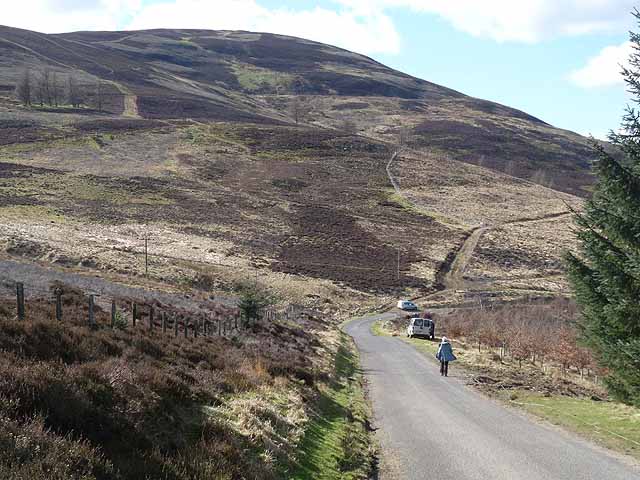
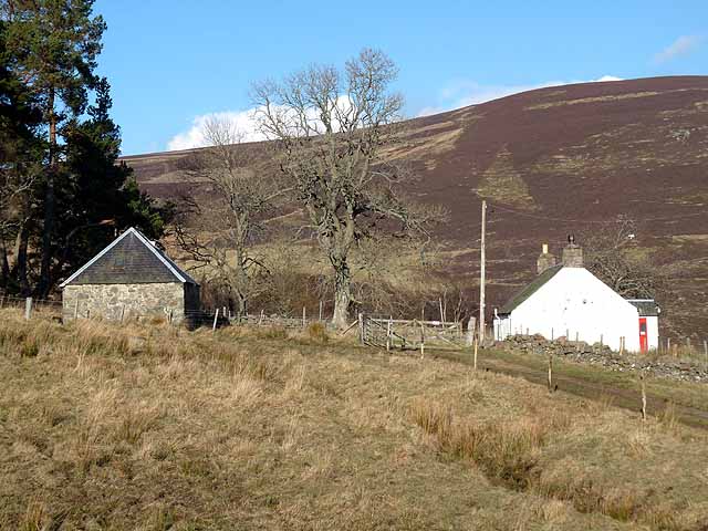
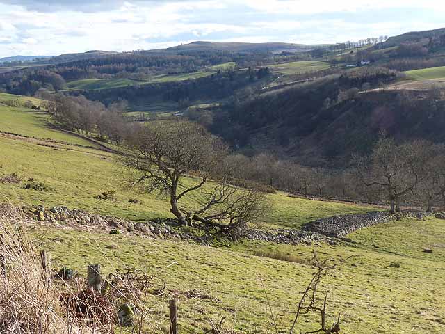
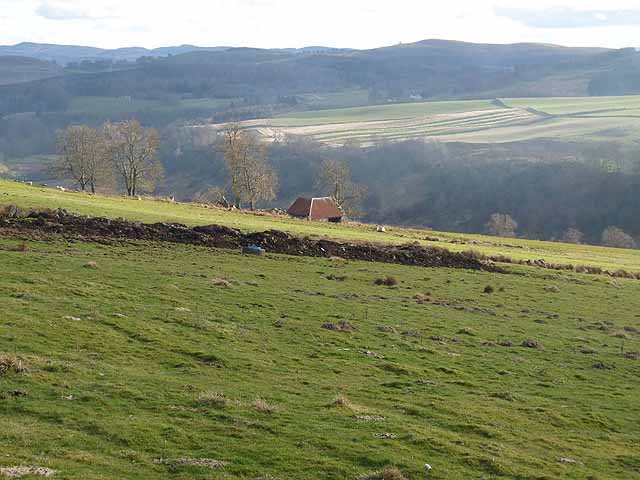
Cotgibbon Plantation is a stunning wood and forest located in Angus, Scotland. Spanning over a vast area, it is known for its natural beauty and diverse range of flora and fauna. The plantation is situated near the village of Cotgibbon and offers a peaceful retreat for nature lovers and outdoor enthusiasts.
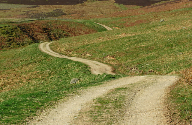
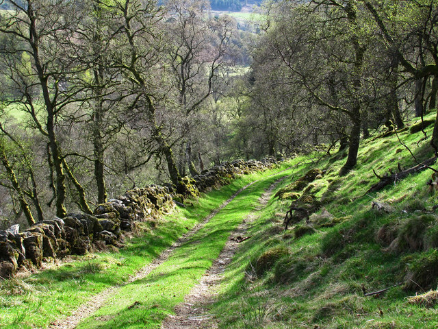
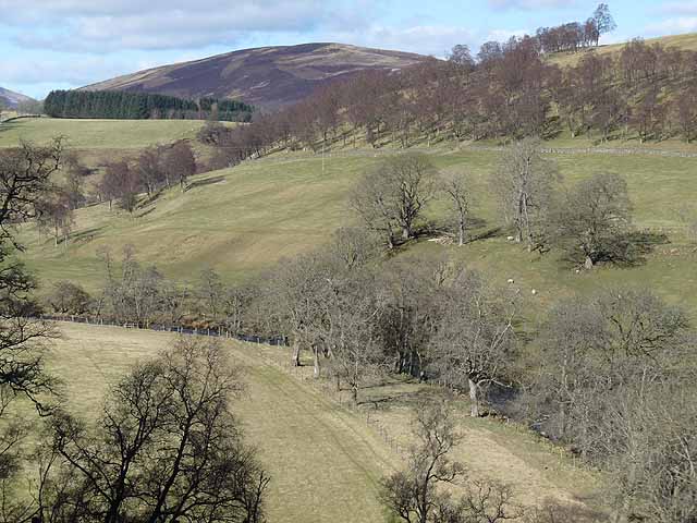
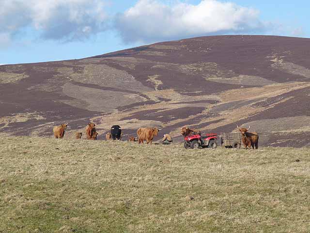
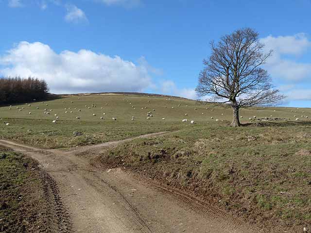
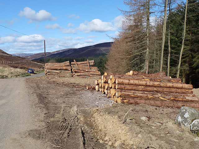
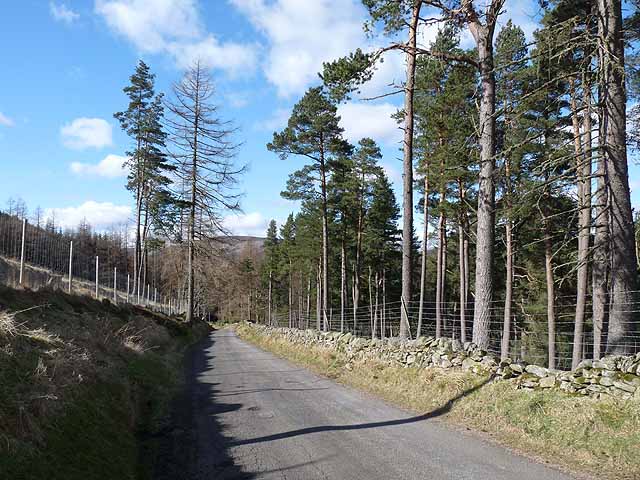
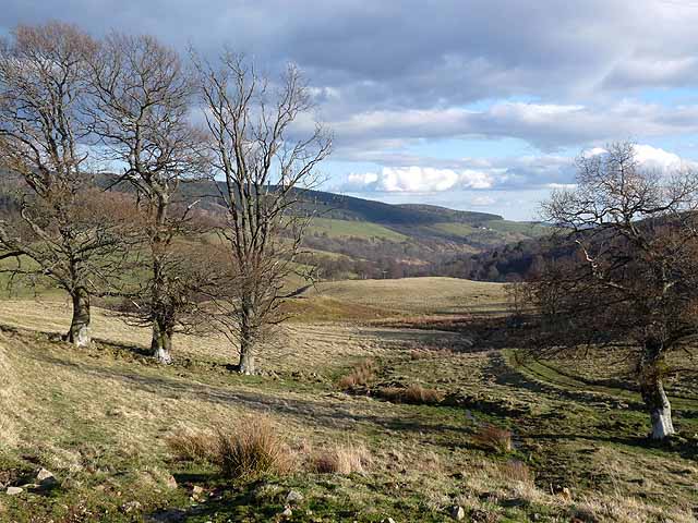
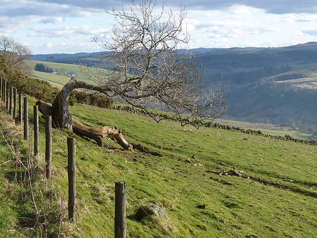
Covering both flat land and hilly terrain, Cotgibbon Plantation provides a varied landscape that includes dense woodland, open meadows, and tranquil streams. The woodland is dominated by a mix of native trees, such as oak, birch, and pine, creating a picturesque and enchanting atmosphere. These trees offer a haven for numerous bird species, including woodpeckers, owls, and various songbirds.
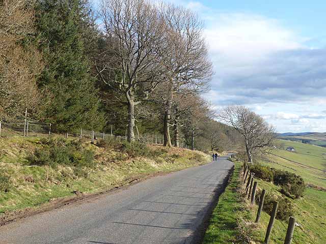
In addition to the woodland, Cotgibbon Plantation is home to a rich assortment of plant life. Wildflowers, ferns, and mosses can be found throughout the area, adding to its natural charm. The plantation also boasts a network of well-maintained walking trails, allowing visitors to explore the beauty of the surroundings at their own pace.
Cotgibbon Plantation is not only a haven for wildlife and flora but also offers recreational activities for visitors. It provides opportunities for hiking, bird-watching, and photography. The peacefulness and tranquility of the plantation make it an ideal spot for those seeking solace in nature or looking to escape the hustle and bustle of city life.
Overall, Cotgibbon Plantation in Angus is a true gem of natural beauty. Its diverse landscape, rich flora, and fauna, and peaceful atmosphere make it a must-visit destination for anyone seeking a connection with nature in this breathtaking part of Scotland.
If you have any feedback on the listing, please let us know in the comments section below.
Cotgibbon Plantation Images
Images are sourced within 2km of 56.753075/-3.0433636 or Grid Reference NO3662. Thanks to Geograph Open Source API. All images are credited.


Cotgibbon Plantation is located at Grid Ref: NO3662 (Lat: 56.753075, Lng: -3.0433636)
Unitary Authority: Angus
Police Authority: Tayside
What 3 Words
///elbowed.annual.free. Near Kirriemuir, Angus
Nearby Locations
Related Wikis

Mile Hill, Dykehead
There is another Mile Hill nearby which is a MarilynMile Hill is located in Angus, Scotland, 1000 metres west of Dykehead. It is a circular hill rising...

Cortachy
Cortachy is a village in Angus, Scotland. It lies in at the mouth of Glen Clova, on the River South Esk, four miles north of Kirriemuir. Nearby lies Cortachy...

Cat Law
Cat Law (671 m) is a hill in the southern Mounth of Scotland, north of Kirriemuir in Angus. A rounded peak, it lies above Strathmore in the south and offers...

Cortachy Castle
Cortachy Castle is a castellated mansion House at Cortachy, Angus, Scotland, some four miles north of Kirriemuir. The present building dates from the 15th...

Ascreavie
Ascreavie is a country house in Angus, Scotland. It is located 2 kilometres (1.2 mi) north of Kirkton of Kingoldrum, and 6 kilometres (3.7 mi) north-west...

Inverquharity Castle
Inverquharity Castle is a 15th-century tower house in Angus, Scotland. It lies around 4.5 kilometres (2.8 mi) north-east of Kirriemuir near the River South...

Inverquharity
Inverquharity is a Roman fortlet in Scotland, close to the Highland Line about 5 miles (8 km) north of Kirriemuir, Angus. Although very little archaeological...

Memus
Memus is a small village in Angus, Scotland, north of Kirriemuir. It is home to the Drovers Pub. A story is told of a kelpie at Shielhill Bridge, leaving...
Have you been to Cotgibbon Plantation?
Leave your review of Cotgibbon Plantation below (or comments, questions and feedback).