Chesters Wood

Wood, Forest in Midlothian

Scotland

Chesters Wood

The drive, Vogrie House
The drive, Vogrie House Credit: Richard Webb

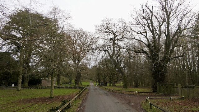
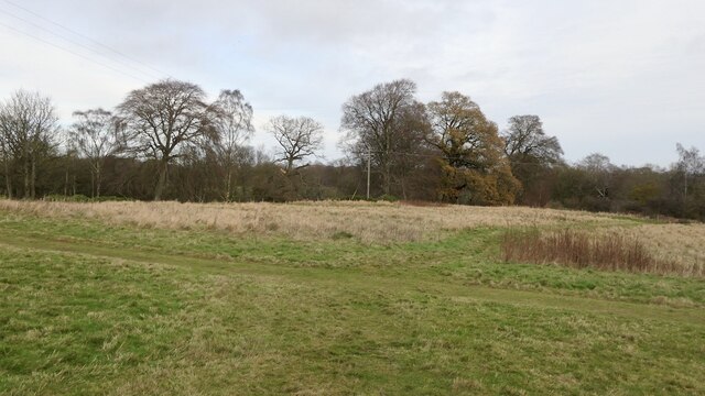
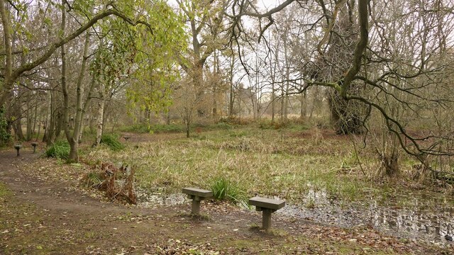
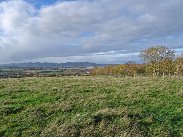
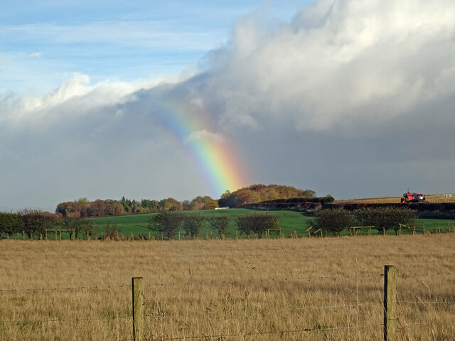
Chesters Wood is a picturesque forest located in Midlothian, Scotland. Spanning approximately 100 hectares, the wood is known for its diverse flora and fauna, making it a popular destination for nature enthusiasts and hikers alike.

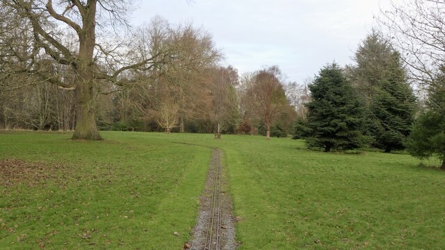
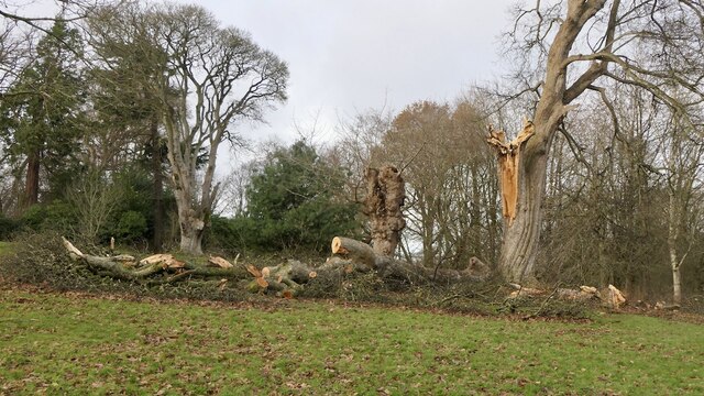
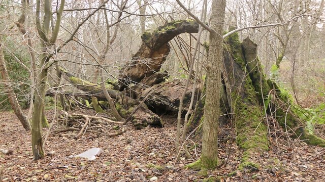
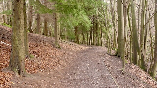
The woodland is characterized by its dense canopy of native trees, including oak, birch, and Scots pine. These towering giants provide a habitat for a variety of wildlife such as red squirrels, badgers, and a wide range of bird species. The forest floor is adorned with a vibrant carpet of bluebells, wild garlic, and ferns during the spring and summer months.

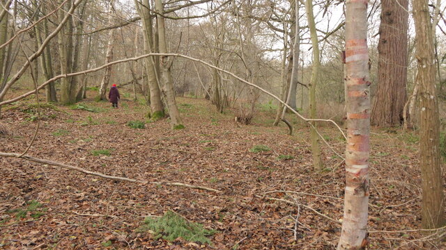
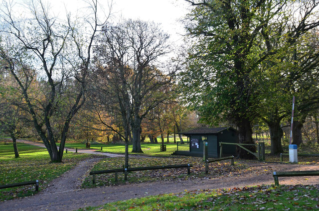
Trails and paths wind their way through the wood, offering visitors the opportunity to explore its beauty at their own pace. The network of paths caters to all levels of ability, from gentle strolls to more challenging hikes, ensuring that everyone can enjoy the natural splendor that Chesters Wood has to offer.

The wood has a rich history, with evidence of human settlement dating back to the Bronze Age. Archaeological sites, including burial mounds and stone circles, can be found within its boundaries, adding an extra layer of intrigue to the area.

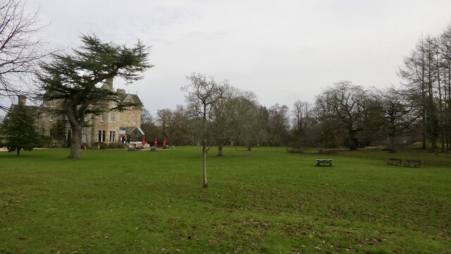
Chesters Wood is easily accessible, with ample parking available for visitors. It is a tranquil haven away from the hustle and bustle of city life, providing a serene escape into nature. Whether you are seeking a peaceful walk, a chance to observe wildlife, or an opportunity to connect with the past, Chesters Wood offers an unforgettable experience for all who visit.

If you have any feedback on the listing, please let us know in the comments section below.

Chesters Wood Images

Images are sourced within 2km of 55.858239/-3.0213569 or Grid Reference NT3663. Thanks to Geograph Open Source API. All images are credited.

The drive, Vogrie House
Railway, Vogrie Country Park
Vogrie House Notes on the history of this estate, now owned and run as a country park by Midlothian Council can be found here: <a href="https://www.geograph.org.uk/photo/2141929">NT3863 : Vogrie House</a>
Vogrie House
Notes on the history of this estate, now owned and run as a country park by Midlothian Council can be found here: NT3863 : Vogrie House
Storm damage, Vogrie Country Park After the northerly gales on 26th November 2021. There are a lot of aged trees here.
Storm damage, Vogrie Country Park
After the northerly gales on 26th November 2021. There are a lot of aged trees here.
Giant trike sculpture, Vogrie Country Park
Former field, Vogrie Now an open space in the country park.
Former field, Vogrie
Now an open space in the country park.
Pond, Vogrie Country Park
Fallen tree, Vogrie Country Park There is a lot of fallen dead wood at Vogrie which enhances the biodiversity of the woodlands.
Fallen tree, Vogrie Country Park
There is a lot of fallen dead wood at Vogrie which enhances the biodiversity of the woodlands.
Crow Wood, Vogrie
Crow Wood, Vogrie
Path, Vogrie Wood Descending to the Tyne Water, following the Vogrie Burn.
Path, Vogrie Wood
Descending to the Tyne Water, following the Vogrie Burn.
Cafe, Vogrie House
Cafe, Vogrie House
Above Gorebridge From the high point of a walk called the Gorebridge Circular there is a fine view across to the Pentland Hills. Loanhead, Bonnyrigg and Lasswade can all be seen just above the trees in the foreground.
Info on the 8 mile walk here:-
<span class="nowrap"><a title="https://gorebridge.org.uk/wp-content/uploads/2021/01/Walk-8-Gorebridge-Circular-Page.pdf" rel="nofollow ugc noopener" href="https://gorebridge.org.uk/wp-content/uploads/2021/01/Walk-8-Gorebridge-Circular-Page.pdf">Link</a><img style="margin-left:2px;" alt="External link" title="External link - shift click to open in new window" src="https://s1.geograph.org.uk/img/external.png" width="10" height="10"/></span>
Above Gorebridge
From the high point of a walk called the Gorebridge Circular there is a fine view across to the Pentland Hills. Loanhead, Bonnyrigg and Lasswade can all be seen just above the trees in the foreground. Info on the 8 mile walk here:- LinkExternal link
Gorebridge Outskirts As seen from just above Barleyknowe Road in Gorebridge there is a fine view across to the Pentlands Hills across the roofs of the nearest houses.
Gorebridge Outskirts
As seen from just above Barleyknowe Road in Gorebridge there is a fine view across to the Pentlands Hills across the roofs of the nearest houses.
Passing Shower This double rainbow appeared as I was trying to shelter from the short sharp rain shower.
Passing Shower
This double rainbow appeared as I was trying to shelter from the short sharp rain shower.
Part Rainbow over Newlandrig After a sharp shower the rain has moved on from Gorebridge towards Newlandrig and this part rainbow is striking across the fields.
Part Rainbow over Newlandrig
After a sharp shower the rain has moved on from Gorebridge towards Newlandrig and this part rainbow is striking across the fields.
Drive to Vogrie House The grounds of the 19th century Vogrie House are now a Country Park, managed by Midlothian Council. The hut is an information point.
Drive to Vogrie House
The grounds of the 19th century Vogrie House are now a Country Park, managed by Midlothian Council. The hut is an information point.
Vogrie House The house dates from 1875, though Vogrie estate itself has a long history - see <span class="nowrap"><a title="https://www.thecastlesofscotland.co.uk/the-best-castles/feature-articles/vogrie-house/" rel="nofollow ugc noopener" href="https://www.thecastlesofscotland.co.uk/the-best-castles/feature-articles/vogrie-house/">Link</a><img style="margin-left:2px;" alt="External link" title="External link - shift click to open in new window" src="https://s1.geograph.org.uk/img/external.png" width="10" height="10"/></span>.

Now it is a home to the Vogrie Country Park ranger service and a cafe.
Vogrie House
The house dates from 1875, though Vogrie estate itself has a long history - see LinkExternal link. Now it is a home to the Vogrie Country Park ranger service and a cafe.
Ha-ha at Vogrie An 'invisible boundary' consisting of a wall and ditch, often built in parkland around a country house.
Ha-ha at Vogrie
An 'invisible boundary' consisting of a wall and ditch, often built in parkland around a country house.
Show me another place!

Chesters Wood is located at Grid Ref: NT3663 (Lat: 55.858239, Lng: -3.0213569)

Unitary Authority: Midlothian

Police Authority: The Lothians and Scottish Borders

What 3 Words

///scrolled.user.value. Near Mayfield, Midlothian

Nearby Locations

Chesters Wood

Related Wikis

D'Arcy, Midlothian

D'Arcy is a hamlet in Midlothian, Scotland, located just south of Dalkeith near Edinburgh. It is ΒΌ mile east of Mayfield and lies within the Civil Parish...

Mayfield, Midlothian

Mayfield is a community in Midlothian, Scotland, located just south of Dalkeith near Edinburgh between the A68 and the A7 south. It had an estimated population...

Dewartown

Dewartown is a small hamlet in Midlothian, Scotland (near Pathhead and Mayfield). Its name relates to the Dewar family who owned the nearby Vogrie House...

Vogrie House

Vogrie House forms the centrepiece of Vogrie Country Park in Midlothian. It was built for James Dewar and his family in 1876 by Andrew Heiton, the town...

Nearby Amenities

Located within 500m of 55.858239,-3.0213569
Power: pole
Lat/Long: 55.8543109/-3.0219973
Power: pole
Lat/Long: 55.8547888/-3.0208222
Power: pole
Lat/Long: 55.85528/-3.0196243
Power: pole
Lat/Long: 55.8557191/-3.0184948
Power: pole
Lat/Long: 55.8563505/-3.0169578
Power: pole
Lat/Long: 55.856697/-3.0151686
Power: pole
Lat/Long: 55.8569232/-3.0155711
Power: pole
Lat/Long: 55.8575472/-3.0144461
Power: pole
Lat/Long: 55.8580716/-3.0135118
The data included in this document is from www.openstreetmap.org. The data is made available under ODbL.

Have you been to Chesters Wood?

Leave your review of Chesters Wood below (or comments, questions and feedback).