Langfauld Wood

Wood, Forest in Dumfriesshire

Scotland

Langfauld Wood

A7 north of Langholm - evening light
A7 north of Langholm - evening light Credit: Peter Moore

The requested URL returned error: 429 Too Many Requests

If you have any feedback on the listing, please let us know in the comments section below.

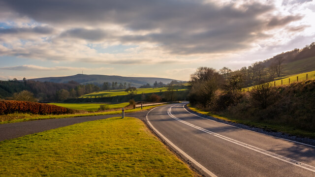
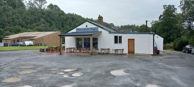
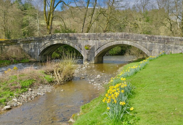
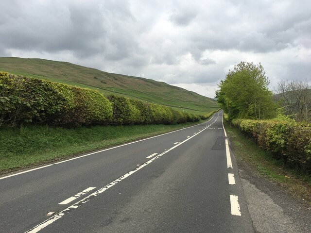
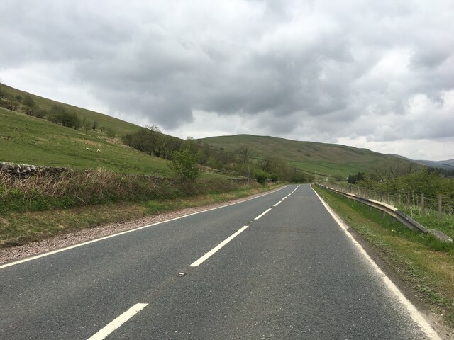
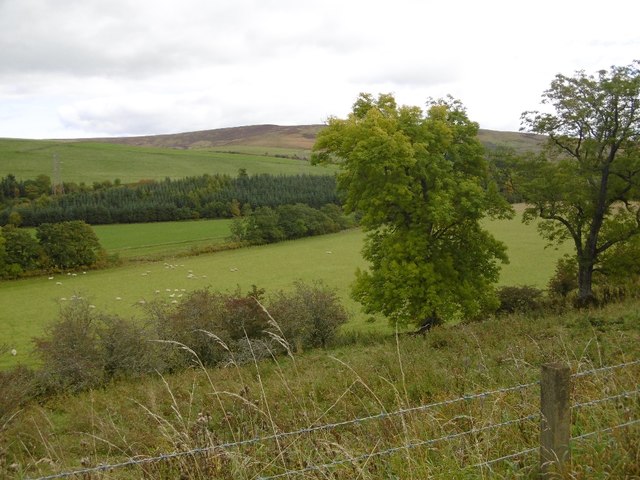
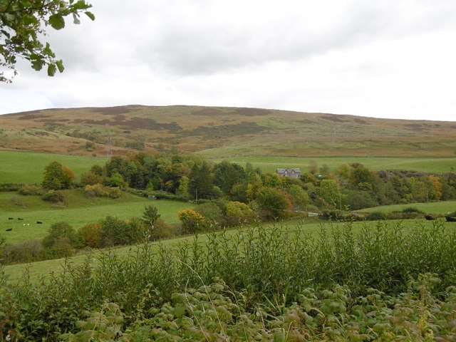
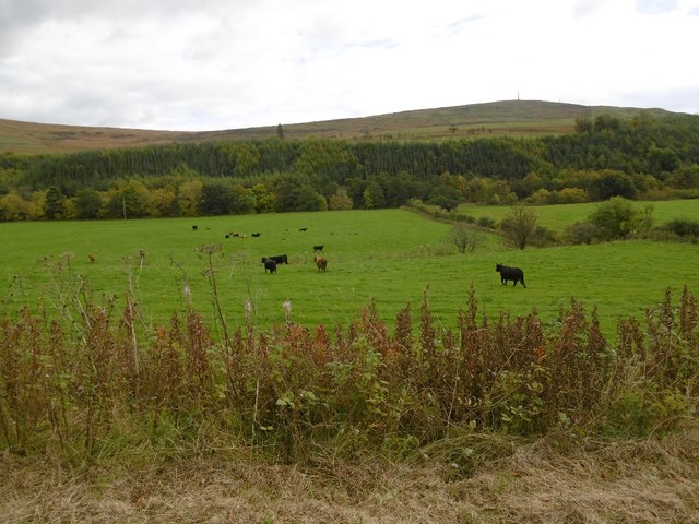
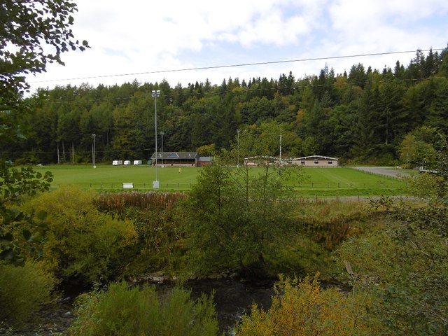
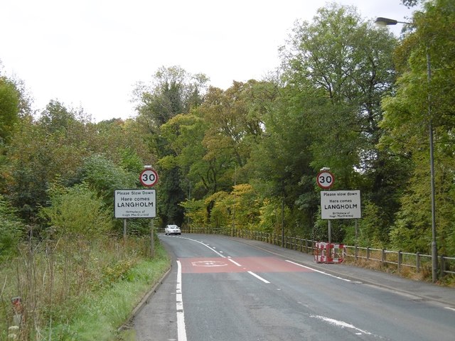
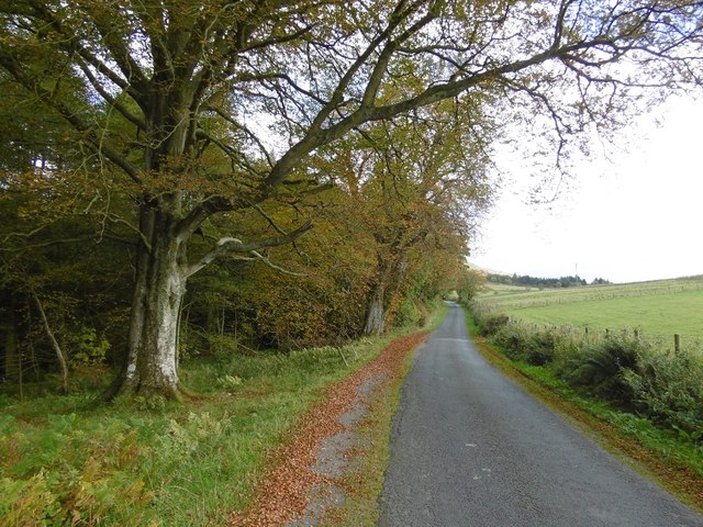
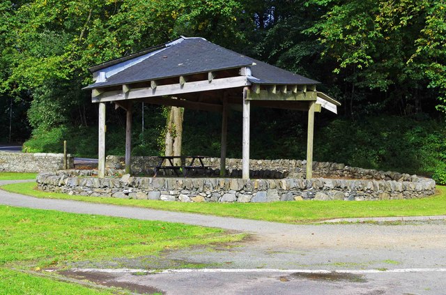
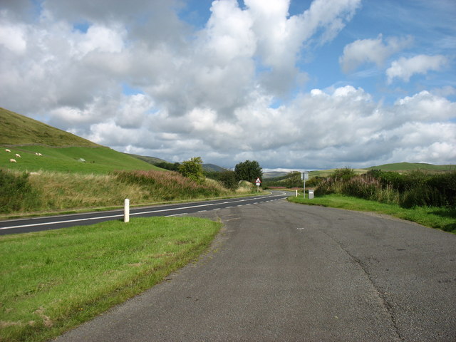
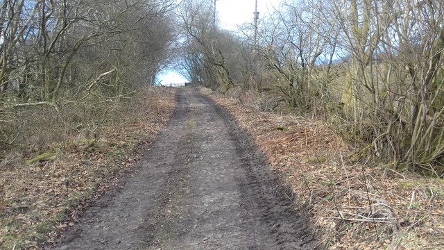
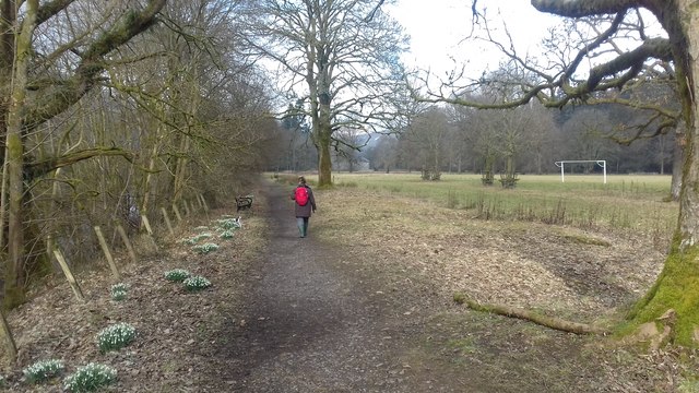
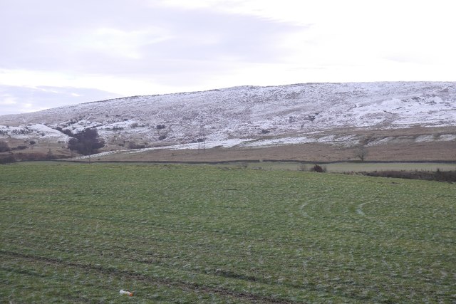
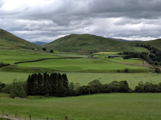
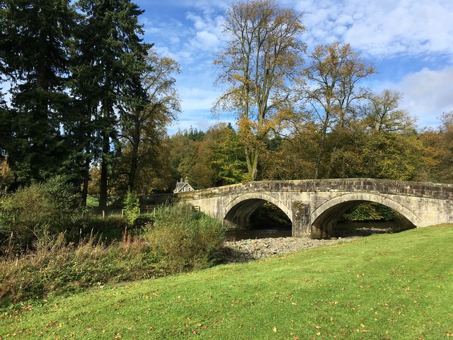
Langfauld Wood Images

Images are sourced within 2km of 55.172309/-3.0083567 or Grid Reference NY3586. Thanks to Geograph Open Source API. All images are credited.

A7 north of Langholm - evening light
Whitshiels Cafe, Langholm
Ewes Bridge Langholm
Ewes Bridge
Langholm
A7 near Wrae
A7 near Wrae
A7 near Wrae
A7 near Wrae
Ewesdale Haughs near Wrae.
Ewesdale
Haughs near Wrae.
Footsburn, Ewesdale
Footsburn, Ewesdale
Cattle, Ewesdale The Malcolm Monument on the skyline: Langholm is approaching.
Cattle, Ewesdale
The Malcolm Monument on the skyline: Langholm is approaching.
Milntown Home of Langholm RFC.
Milntown
Home of Langholm RFC.
Langholm approaching The latest edition of Langholm's relativistic road sign.  Please allow the scenery to pass at 13.4ms^-1 or less. Thank you.
Langholm approaching
The latest edition of Langholm's relativistic road sign. Please allow the scenery to pass at 13.4ms^-1 or less. Thank you.
Langholm to Newcastleton road The climb up to Langholm Moor.
Langholm to Newcastleton road
The climb up to Langholm Moor.
Open public performance area at the Kilngreen, Langholm, Dumfries & Galloway This open public performance area is one of the results of the 2009 makeover of the Kilngreen, which took place as part of a television programme. The local pipe band have performed here.
Open public performance area at the Kilngreen, Langholm, Dumfries & Galloway
This open public performance area is one of the results of the 2009 makeover of the Kilngreen, which took place as part of a television programme. The local pipe band have performed here.
The A7 leaving Langholm A large lay-by is presumably the result of a realignment of the road.
The A7 leaving Langholm
A large lay-by is presumably the result of a realignment of the road.
Track near Wattie's Bank Large track near Wattie's Bank.
Track near Wattie's Bank
Large track near Wattie's Bank.
Public footpath Public footpath near Castle Holm.
Public footpath
Public footpath near Castle Holm.
Field, Arkin View off an A7 layby.
Field, Arkin
View off an A7 layby.
The Esk valley, seen from the roadside
Ewes Bridge Langholm This bridge crosses the Ewes Water. On the other side nearby are the ruins of Langholm Castle probably built by the Armstrong family about 1526.
Ewes Bridge Langholm
This bridge crosses the Ewes Water. On the other side nearby are the ruins of Langholm Castle probably built by the Armstrong family about 1526.
Show me another place!

Langfauld Wood is located at Grid Ref: NY3586 (Lat: 55.172309, Lng: -3.0083567)

Unitary Authority: Dumfries and Galloway

Police Authority: Dumfries and Galloway

What 3 Words

///withdraws.publisher.regularly. Near Langholm, Dumfries & Galloway

Related Wikis

Barntalloch Castle

Barntalloch Castle was a castle located at Staplegorton, in Dumfries and Galloway, Scotland. The castle was built in the 12th century by Galfrid de Coninsburgh...

Duchess Bridge

The Duchess Bridge is a cast iron footbridge over the River Esk in Dumfries and Galloway, Scotland. It was built for Charles Montagu-Scott, 4th Duke of...

Langholm Academy

Langholm Academy is a non-denominational, co-educational six-year comprehensive secondary school in Langholm, Scotland. Currently, the school has 240 pupils...

Langholm

Langholm , also known colloquially as the "Muckle Toon", is a burgh in Dumfries and Galloway, southern Scotland. Langholm lies between four hills in the...

Nearby Amenities

Located within 500m of 55.172309,-3.0083567
Langfauld Wood
Natural: wood
Lat/Long: 55.1697113/-3.0077034
Power: pole
Lat/Long: 55.1723675/-3.0161282
Power: pole
Lat/Long: 55.1728322/-3.0160792
The data included in this document is from www.openstreetmap.org. The data is made available under ODbL.

Have you been to Langfauld Wood?

Leave your review of Langfauld Wood below (or comments, questions and feedback).