Causewayhead

Settlement in Stirlingshire

Scotland

Causewayhead

Pitch n' put at Airthrey Castle
Pitch n' put at Airthrey Castle Credit: Alan Reid

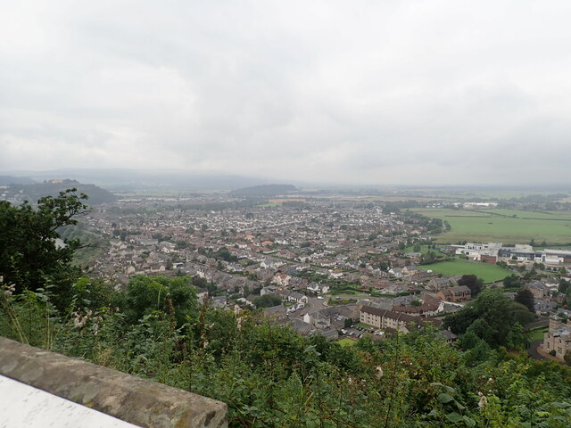
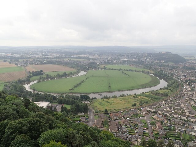
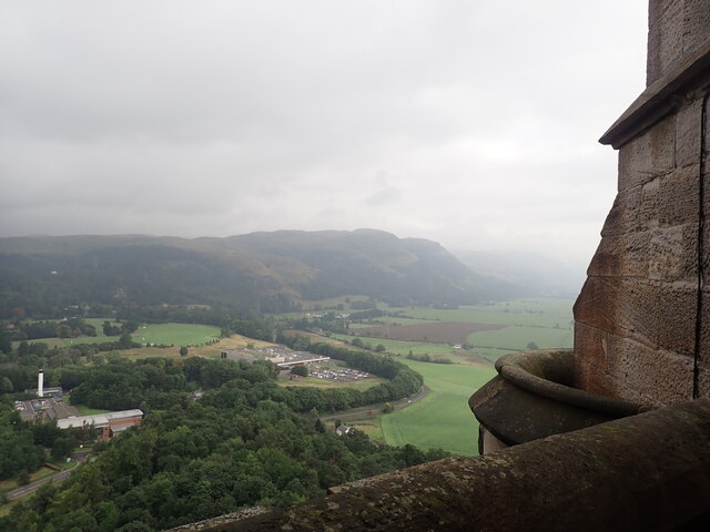
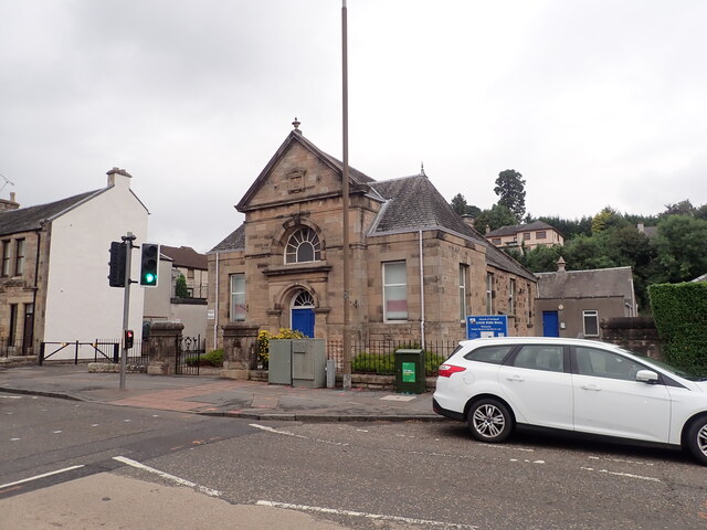
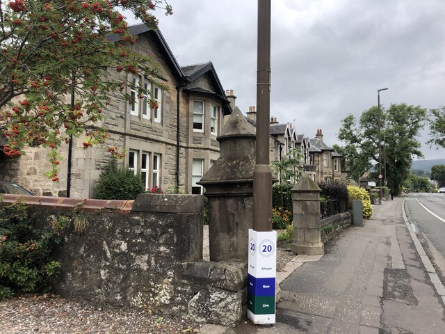
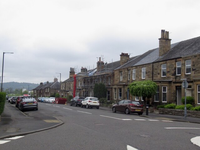
Causewayhead is a small village located in the county of Stirlingshire, Scotland. Situated on the outskirts of the city of Stirling, it is nestled at the foot of the Ochil Hills, offering stunning views of the surrounding countryside. The village is primarily residential, with a mix of traditional stone-built houses and modern developments.

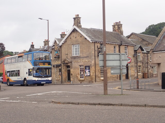
The main thoroughfare in Causewayhead is the A9 road, which runs through the village, providing convenient access to Stirling and the nearby towns. This makes it an ideal location for commuters who work in the city. The village is also well-served by public transportation, with regular bus services connecting it to Stirling and other nearby areas.

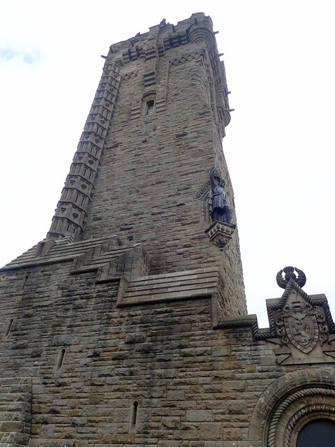
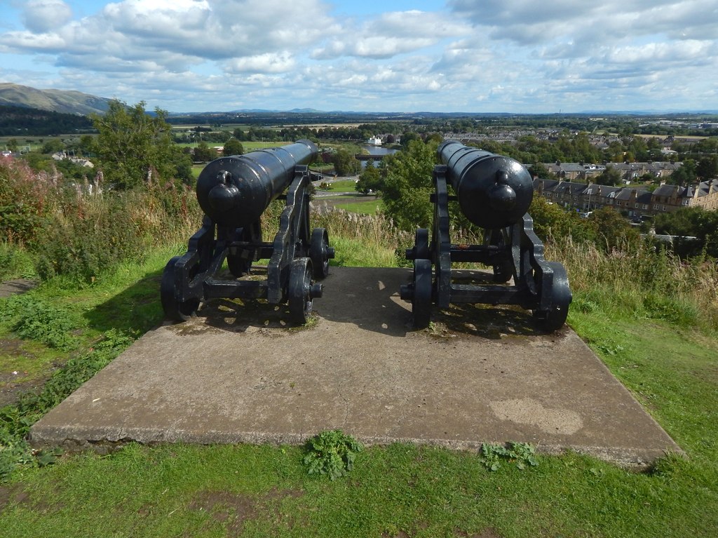
One of the prominent landmarks in Causewayhead is the historic Wallace Monument, which stands on the Abbey Craig, overlooking the village. This iconic tower commemorates the Scottish hero, William Wallace, and attracts tourists from around the world. Visitors can climb to the top of the monument and enjoy breathtaking panoramic views of Stirling and the surrounding countryside.

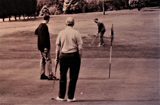
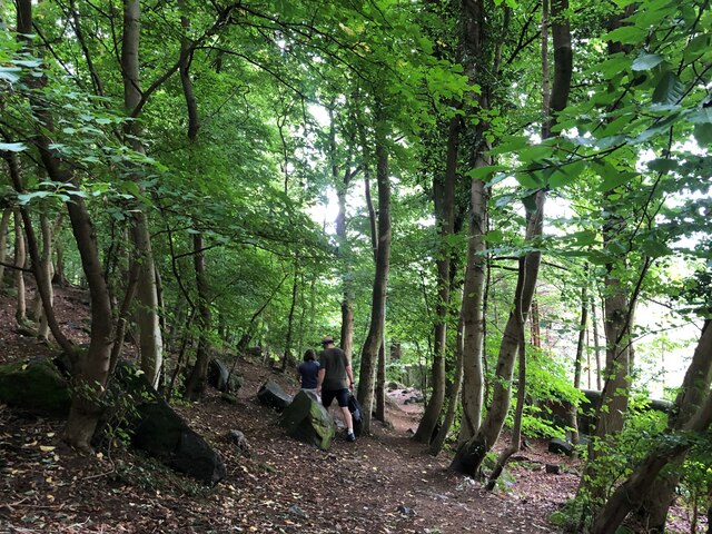
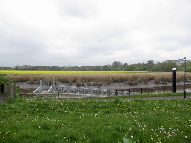
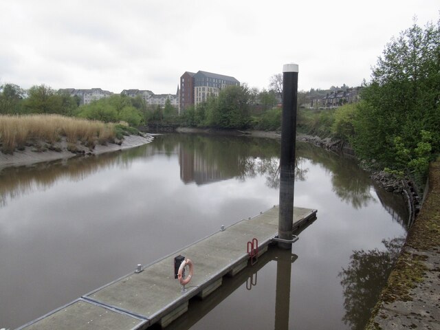
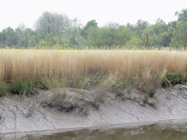
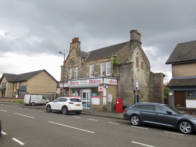
The village itself offers a range of amenities and services to its residents. There are several local shops, including a convenience store and a pharmacy, as well as a primary school and a community center. Outdoor enthusiasts can also take advantage of the nearby countryside, with various walking and cycling routes available in the area.

Overall, Causewayhead provides a picturesque and convenient place to live, combining the tranquility of rural living with easy access to urban amenities.

If you have any feedback on the listing, please let us know in the comments section below.
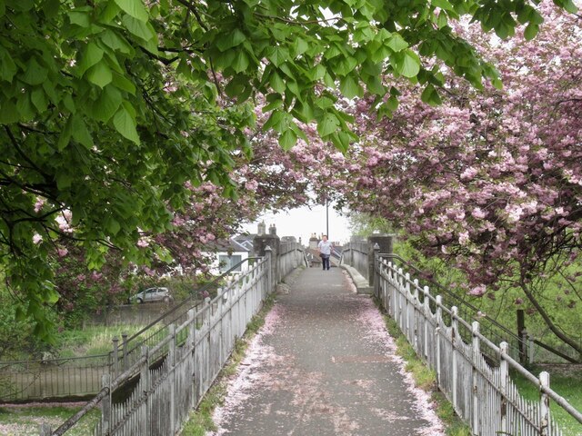
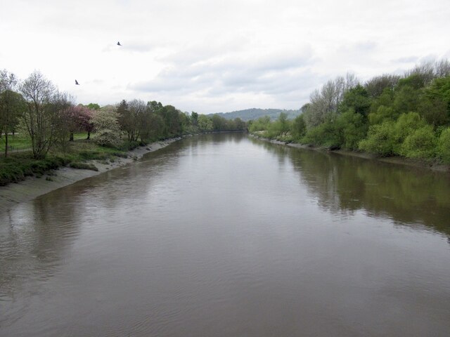
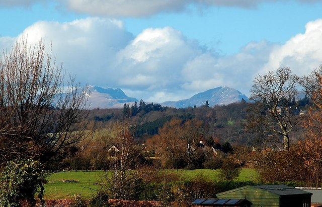
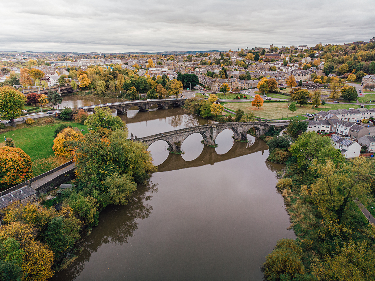
Causewayhead Images

Images are sourced within 2km of 56.135341/-3.9295118 or Grid Reference NS8095. Thanks to Geograph Open Source API. All images are credited.

Pitch n' put at Airthrey Castle
Looking down on Stirling from the Wallace Memorial
The National Wallace Memorial A 67 metre tower on Abbey Craig, a hilltop overlooking Stirling. It commemorates Sir William Wallace, a 13th- and 14th-century Scottish hero, whose statue is on the corner of the tower. It was sculpted by David Watson Stevenson.
The National Wallace Memorial
A 67 metre tower on Abbey Craig, a hilltop overlooking Stirling. It commemorates Sir William Wallace, a 13th- and 14th-century Scottish hero, whose statue is on the corner of the tower. It was sculpted by David Watson Stevenson.
A loop in the Forth The suburb of Causewayhead to the right of the river, and Stirling Castle atop its hill in the distance. Taken from the top of Abbey Craig.
A loop in the Forth
The suburb of Causewayhead to the right of the river, and Stirling Castle atop its hill in the distance. Taken from the top of Abbey Craig.
View north-east from the Wallace Tower Looking towards the Ochil hills. The factory in the loop of the B998 produces commercial cooking equipment.
View north-east from the Wallace Tower
Looking towards the Ochil hills. The factory in the loop of the B998 produces commercial cooking equipment.
A path through Causewayhead Park woodland
Logie Kirk Hall On Alloa Street
Logie Kirk Hall
On Alloa Street
The William Wallace  Public house at the junction of Airthrey Road and Logie Road.
The William Wallace
Public house at the junction of Airthrey Road and Logie Road.
House on Causewayhead Road
Network Rail access point on Causewayhead Road Not a footpath for the general public but for maintenance work to be carried out on the railway
Network Rail access point on Causewayhead Road
Not a footpath for the general public but for maintenance work to be carried out on the railway
Millar Place, Riverside
Abbey Road Market Shop and cafe, Riverside.
Abbey Road Market
Shop and cafe, Riverside.
Oilseed rape, Cambuskenneth View across the Forth from by the Stirling Council pontoon which is apparently little used.
Oilseed rape, Cambuskenneth
View across the Forth from by the Stirling Council pontoon which is apparently little used.
River Forth, Stirling View from near the pontoon built to encourage traffic up the river.
River Forth, Stirling
View from near the pontoon built to encourage traffic up the river.
Mud, River Forth View from Shore Road, Stirling at low water.
Mud, River Forth
View from Shore Road, Stirling at low water.
Post Office, Riverside On Abbey Road.
Post Office, Riverside
On Abbey Road.
Bridge to Cambuskenneth Linking Stirling's Riverside with Cambuskenneth. The inhabitants of Cambuskenneth did not want a road bridge.
Bridge to Cambuskenneth
Linking Stirling's Riverside with Cambuskenneth. The inhabitants of Cambuskenneth did not want a road bridge.
River Forth On a flood tide, view from the Cambuskenneth bridge.
River Forth
On a flood tide, view from the Cambuskenneth bridge.
Show me another place!

Causewayhead is located at Grid Ref: NS8095 (Lat: 56.135341, Lng: -3.9295118)

Unitary Authority: Stirling

Police Authority: Forth Valley

What 3 Words

///sunbeam.supporter.entitle. Near Stirling

Nearby Locations

Spittal Hill Causewayhead

Related Wikis

Causewayhead (Stirling) railway station

Causewayhead railway station served the suburb of Causewayhead in Stirling, Scotland, from 1852 to 1955 on the Stirling and Dunfermline Railway. ��2�...

Wallace High School, Stirling

Wallace High School is a non-denominational public secondary school in Causewayhead, Stirling. The school was founded in 1971 to serve Bridge of Allan...

Cornton

Cornton, known locally as The Cornton, is a district of the city of Stirling on the North Bank of the River Forth in central Scotland. == History == It...

Wallace Monument

The National Wallace Monument (generally known as the Wallace Monument) is a 67 metres (220 ft) tower on the shoulder of the Abbey Craig, a hilltop overlooking...

Battle of Stirling Bridge

The Battle of Stirling Bridge (Scottish Gaelic: Blàr Drochaid Shruighlea) was fought during the First War of Scottish Independence. On 11 September 1297...

Abbey Craig

The Abbey Craig is the hill upon which the Wallace Monument stands, at Causewayhead, just to the north of Stirling, Scotland. == Physical geography... ==

Stirling Rowing Club

Stirling Rowing Club is a rowing club on the River Forth, based at the intersection between Dean Crescent and Queenshaugh Drive, Riverside, Stirling, Scotland...

Mote Hill

Mote Hill is the northern tip of the Gowanhills, Stirling, the northern half of the Royal Park that extends around Stirling Castle. The wider park includes...

Nearby Amenities

Located within 500m of 56.135341,-3.9295118
Source: Landsat photo
Lat/Long: 56.1311314/-3.9299941
Source: Landsat photo
Lat/Long: 56.1317788/-3.9301661
Source: Landsat photo
Lat/Long: 56.1329721/-3.929476
Source: Landsat photo
Lat/Long: 56.1333848/-3.9289382
Source: Landsat photo
Lat/Long: 56.1325658/-3.9298365
Source: Landsat photo
Lat/Long: 56.133761/-3.928352
Source: Landsat photo
Lat/Long: 56.1339901/-3.9279115
Source: Landsat photo
Lat/Long: 56.1342268/-3.9272797
Source: Landsat photo
Lat/Long: 56.1344249/-3.9266009
Source: Landsat photo
Lat/Long: 56.1345677/-3.92587
Railway: switch
Lat/Long: 56.132894/-3.9303516
Causewayhead
Historic Railway: station
Railway: site
Source: NPE
Wikidata: Q80358467
Wikipedia: en:Causewayhead (Stirling) railway station
Lat/Long: 56.1354584/-3.9256722
Traffic Calming: table
Lat/Long: 56.1353183/-3.9295066
Traffic Calming: table
Lat/Long: 56.1366399/-3.9277964
Traffic Calming: table
Lat/Long: 56.1378963/-3.9261706
Mini Roundabout
Direction: clockwise
Lat/Long: 56.1394378/-3.9314264
Noexit: yes
Lat/Long: 56.1355709/-3.925789
Bus Stop
Easter Cornton, Chisolm Avenue at Numbers 41-43
Bench: no
Bin: yes
Lit: yes
Shelter: no
Tactile Paving: no
Lat/Long: 56.137116/-3.9352652
Post Box
Collection Times: Mo-Fr 09:00, Sa 07:00
Old Ref: FK9 31
Post Box Type: pillar
Ref: FK9 31D
Royal Cypher: GR
Royal Cypher Wikidata: Q33102273
Lat/Long: 56.1337036/-3.9300005
Traffic Signals
Traffic Signals: traffic_lights
Traffic Signals Direction: both
Lat/Long: 56.133647/-3.9297408
Shop: hairdresser
Lat/Long: 56.1381815/-3.9237004
Bus Stop
Lat/Long: 56.1377929/-3.9242047
Bus Stop
Bench: no
Bin: yes
Shelter: yes
Tactile Paving: no
Lat/Long: 56.1373087/-3.9251917
Addr City: Stirling
Addr Housenumber: 67
Addr Street: Causewayhead Road
Lat/Long: 56.1353043/-3.9271518
Bus Stop
Bus: yes
Naptan AtcoCode: 66004910026
Naptan NaptanCode: 78424326
Public Transport: platform
Shelter: yes
Lat/Long: 56.1343731/-3.9285517
Causewayhead
Place: suburb
Lat/Long: 56.1384691/-3.9237272
Bicycle Rental
Capacity: 8
Network: NextBike
Operator: nextbike
Lat/Long: 56.1383257/-3.9239733
The Barnwell Brothers
Historic: memorial
Inscription: Erected to the Memory of the Scottish Aviation Pioneers The BARNWELL BROTHERS
Memorial: sculpture
Lat/Long: 56.13859/-3.9242536
Noexit: yes
Lat/Long: 56.1355567/-3.9259253
Generator Method: photovoltaic
Generator Output Electricity: yes
Generator Source: solar
Generator Type: solar_photovoltaic_panel
Location: roof
Power: generator
Lat/Long: 56.1339691/-3.9311555
Generator Method: photovoltaic
Generator Output Electricity: yes
Generator Source: solar
Generator Type: solar_photovoltaic_panel
Location: roof
Power: generator
Lat/Long: 56.1351155/-3.9307693
Generator Method: photovoltaic
Generator Output Electricity: yes
Generator Source: solar
Generator Type: solar_photovoltaic_panel
Location: roof
Power: generator
Lat/Long: 56.1363844/-3.9311072
Generator Method: photovoltaic
Generator Output Electricity: yes
Generator Source: solar
Generator Type: solar_photovoltaic_panel
Location: roof
Power: generator
Lat/Long: 56.1358403/-3.9331296
Generator Method: photovoltaic
Generator Output Electricity: yes
Generator Source: solar
Generator Type: solar_photovoltaic_panel
Location: roof
Power: generator
Lat/Long: 56.1358209/-3.933076
Generator Method: photovoltaic
Generator Output Electricity: yes
Generator Source: solar
Generator Type: solar_photovoltaic_panel
Location: roof
Power: generator
Lat/Long: 56.1355668/-3.9336205
Generator Method: photovoltaic
Generator Output Electricity: yes
Generator Source: solar
Generator Type: solar_photovoltaic_panel
Location: roof
Power: generator
Lat/Long: 56.1341589/-3.9368257
Generator Method: photovoltaic
Generator Output Electricity: yes
Generator Source: solar
Generator Type: solar_photovoltaic_panel
Location: roof
Power: generator
Lat/Long: 56.1341559/-3.9367721
Generator Method: photovoltaic
Generator Output Electricity: yes
Generator Source: solar
Generator Type: solar_photovoltaic_panel
Location: roof
Power: generator
Lat/Long: 56.133993/-3.9368498
Generator Method: photovoltaic
Generator Output Electricity: yes
Generator Source: solar
Generator Type: solar_photovoltaic_panel
Location: roof
Power: generator
Lat/Long: 56.1339466/-3.9367908
Generator Method: photovoltaic
Generator Output Electricity: yes
Generator Source: solar
Generator Type: solar_photovoltaic_panel
Power: generator
Lat/Long: 56.136194/-3.9217094
Generator Method: photovoltaic
Generator Output Electricity: yes
Generator Source: solar
Generator Type: solar_photovoltaic_panel
Power: generator
Lat/Long: 56.1361978/-3.9216249
Generator Method: photovoltaic
Generator Output Electricity: yes
Generator Source: solar
Generator Type: solar_photovoltaic_panel
Power: generator
Lat/Long: 56.1360432/-3.9232837
Generator Method: photovoltaic
Generator Output Electricity: yes
Generator Source: solar
Generator Type: solar_photovoltaic_panel
Power: generator
Lat/Long: 56.1360663/-3.92335
Location: outdoor
Power: substation
Substation: minor_distribution
Lat/Long: 56.1377623/-3.9362168
Give Way
Direction: forward
Lat/Long: 56.1323238/-3.9327648
Give Way
Direction: backward
Lat/Long: 56.133697/-3.9333804
Location: indoor
Power: substation
Substation: minor_distribution
Lat/Long: 56.1360556/-3.9370094
Traffic Calming: table
Lat/Long: 56.1359512/-3.9374454
Crossing
Crossing Island: no
Traffic Calming: table
Lat/Long: 56.134792/-3.9303714
Generator Method: photovoltaic
Generator Output Electricity: yes
Generator Source: solar
Generator Type: solar_photovoltaic_panel
Power: generator
Lat/Long: 56.1369815/-3.9308809
Generator Method: photovoltaic
Generator Output Electricity: yes
Generator Source: solar
Generator Type: solar_photovoltaic_panel
Power: generator
Lat/Long: 56.1382196/-3.9313317
Waste Basket
Lat/Long: 56.1354942/-3.9355896
Railway: signal
Railway Signal Direction: forward
Railway Signal Main: GB-NR:main
Railway Signal Main Form: light
Ref: SK6523
Lat/Long: 56.1358657/-3.92349
Railway: signal
Railway Signal Direction: backward
Railway Signal Main: GB-NR:main
Railway Signal Main Form: light
Ref: SK6522
Lat/Long: 56.1347609/-3.9276785
Railway: signal
Railway Signal Direction: forward
Railway Signal Main: GB-NR:main
Railway Signal Main Form: light
Ref: SN47
Lat/Long: 56.1339844/-3.9346485
The data included in this document is from www.openstreetmap.org. The data is made available under ODbL.

Have you been to Causewayhead?

Leave your review of Causewayhead below (or comments, questions and feedback).