Dronley Wood

Wood, Forest in Angus

Scotland

Dronley Wood

Communications mast by Tealing Road On approach to Kirkton of Auchterhouse.
Communications mast by Tealing Road Credit: Stanley Howe

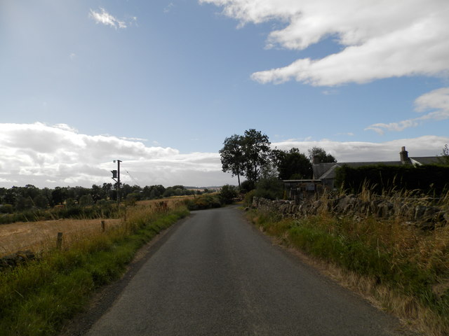
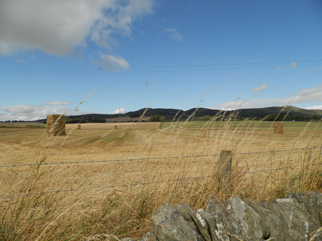
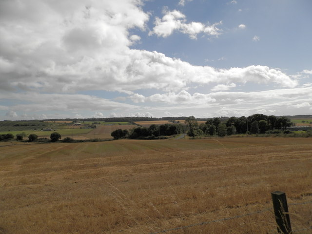
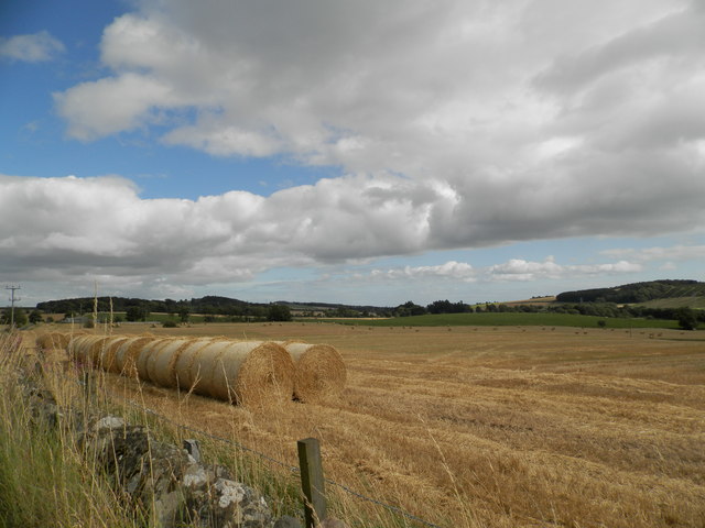
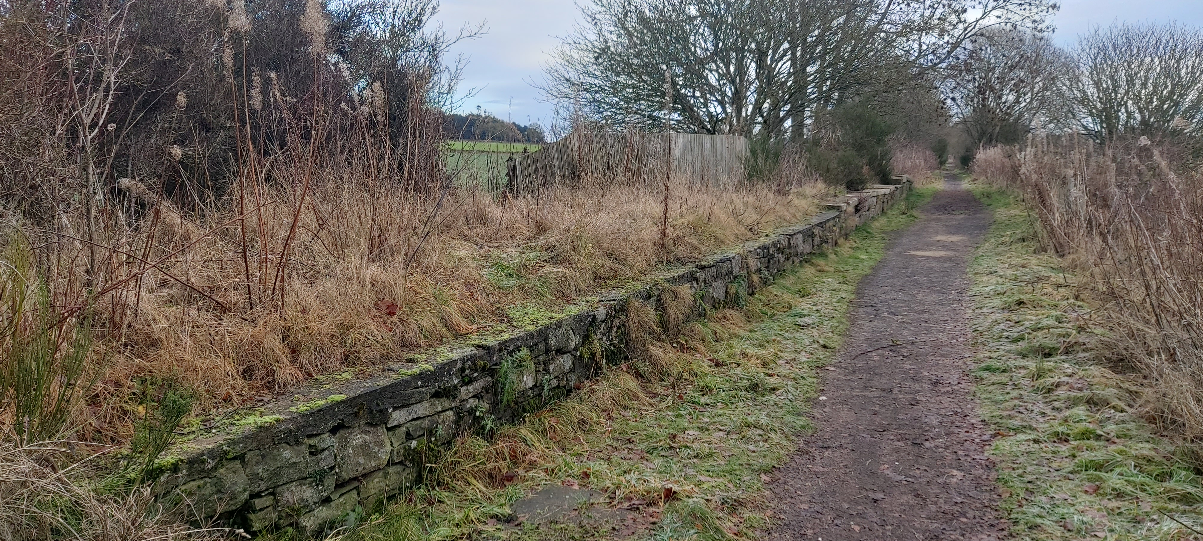
Dronley Wood is a lush and picturesque forest located in the county of Angus, Scotland. Covering an area of approximately 100 hectares, this woodland is nestled between the villages of Auchterhouse and Muirhead, just a few miles west of Dundee.

Dronley Wood is predominantly composed of mixed broadleaf trees, including oak, birch, beech, and ash. These trees create a dense and diverse canopy, providing a haven for a wide variety of wildlife. The forest floor is adorned with a rich carpet of bluebells during the spring, adding a vibrant burst of color to the woodland.

The woodland is crisscrossed with a network of well-maintained paths, making it a popular destination for walkers, hikers, and nature enthusiasts. These paths allow visitors to explore the beauty of the forest and discover its hidden treasures. The tranquil atmosphere and abundance of wildlife make Dronley Wood a perfect spot for birdwatching and nature photography.

In addition to its natural beauty, Dronley Wood also holds historical significance. The remains of an ancient castle, known as Dronley Castle, can be found within the woodland. These ruins are a testament to the area's rich heritage and provide a glimpse into its past.

Overall, Dronley Wood is a peaceful and enchanting forest that offers a delightful escape from the hustle and bustle of everyday life. Its diverse flora and fauna, combined with its historical charm, make it a must-visit destination for nature lovers and history enthusiasts alike.

If you have any feedback on the listing, please let us know in the comments section below.
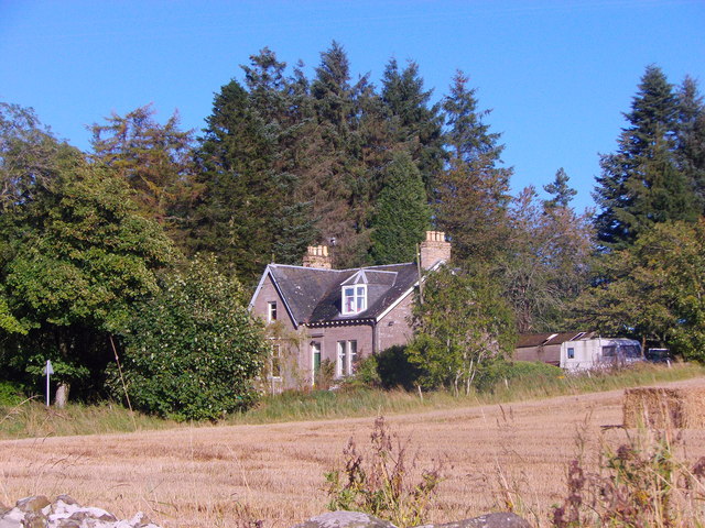
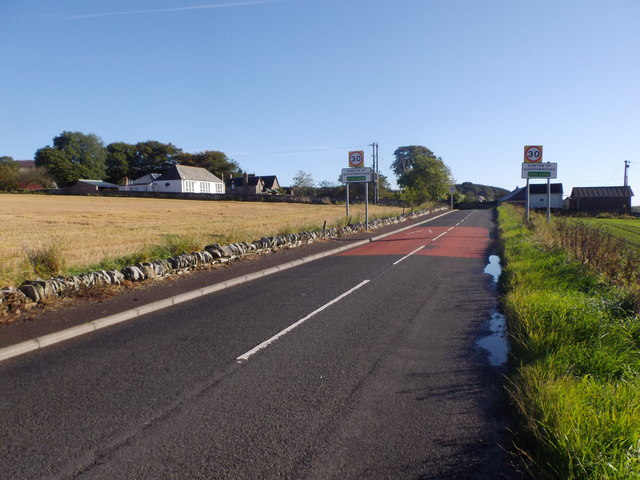
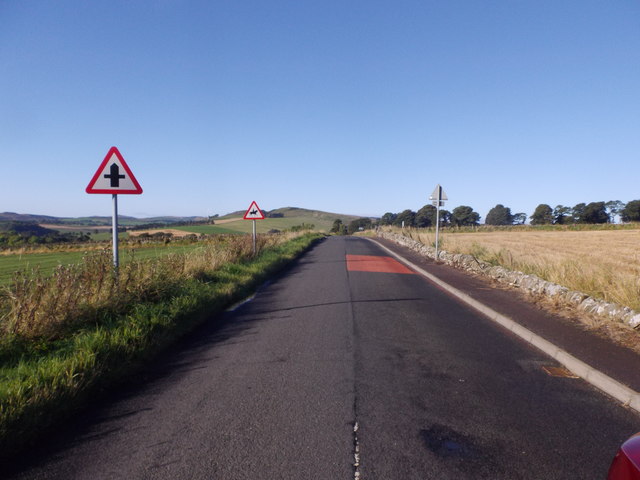
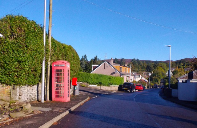
Dronley Wood Images

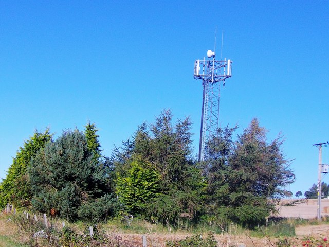
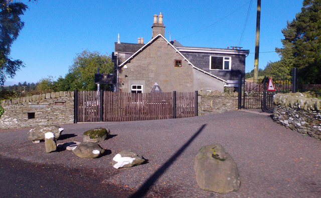
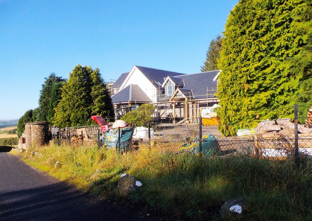
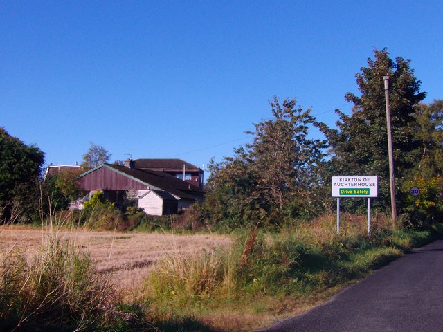
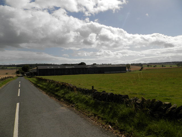
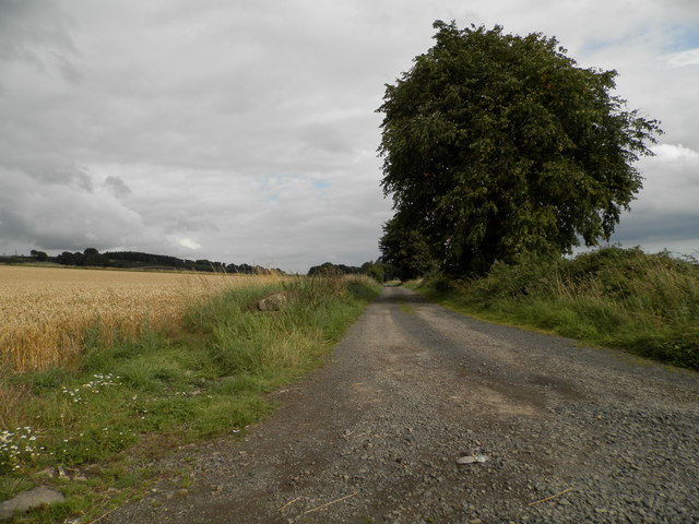
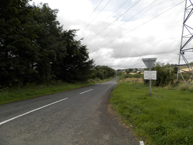
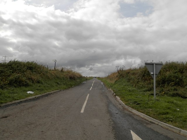
Images are sourced within 2km of 56.517258/-3.0651848 or Grid Reference NO3436. Thanks to Geograph Open Source API. All images are credited.

Communications mast by Tealing Road On approach to Kirkton of Auchterhouse.
Communications mast by Tealing Road
On approach to Kirkton of Auchterhouse.
Quarry House, Tealing Road At a former access from minor road to Parkhill quarries (now disused).
Quarry House, Tealing Road
At a former access from minor road to Parkhill quarries (now disused).
House renovation By Tealing Road approaching Kirkton of Auchterhouse.
House renovation
By Tealing Road approaching Kirkton of Auchterhouse.
Tealing Road Downhill past Parkside Quarries (disused) towards Kirkton of Auchterhouse.
Tealing Road
Downhill past Parkside Quarries (disused) towards Kirkton of Auchterhouse.
Entering Kirkton of Auchterhouse By way of Tealing Road.
Entering Kirkton of Auchterhouse
By way of Tealing Road.
Moredun, Kirkton of Auchterhouse Viewed from the Tealing Road.
Moredun, Kirkton of Auchterhouse
Viewed from the Tealing Road.
Entrance to Kirkton of Auchterhouse On minor road from Auchterhouse; village school on left.
Entrance to Kirkton of Auchterhouse
On minor road from Auchterhouse; village school on left.
Road from Kirkton to Auchterhouse Approaching a crossroads.
Road from Kirkton to Auchterhouse
Approaching a crossroads.
Telephone box and postbox In Kirkton of Auchterhouse.
Telephone box and postbox
In Kirkton of Auchterhouse.
Minor road at Templelands
Field at Templelands Neat straw bales in a field at Templelands to south of Sidlaws.
Field at Templelands
Neat straw bales in a field at Templelands to south of Sidlaws.
Field at Templelands The buildings of Templeton (in adjacent grid square) can be seen to centre right of image.
Field at Templelands
The buildings of Templeton (in adjacent grid square) can be seen to centre right of image.
Round bales in field near Templelands
Templeton Farm
Templeton Farm
Minor road heading towards Leoch
Track to Pitpointie Farm
Minor road heading towards East Adamston Mill
Minor road near Dronley
Show me another place!

Dronley Wood is located at Grid Ref: NO3436 (Lat: 56.517258, Lng: -3.0651848)

Unitary Authority: Angus

Police Authority: Tayside

What 3 Words

///upwardly.regress.total. Near Muirhead, Angus

Nearby Locations

Dronley Wood

Related Wikis

Dronley railway station

Dronley railway station served the village of Dronley, Angus, Scotland from 1860 to 1955 on the Dundee and Newtyle Railway. == History == The station opened...

Balbeuchly (Top) railway station

Balbeuchly (Top) railway station served the village of Auchterhouse, Angus, Scotland, from 1831 to 1861 on the Dundee and Newtyle Railway. == History... ==

Auchterhouse railway station

Auchterhouse railway station served the village of Auchterhouse in the Scottish county of Angus. Services were provided by the Dundee and Newtyle Railway...

Auchterhouse

Auchterhouse is a village, community, and civil parish in the Scottish council area of Angus, located 7.3 miles (11.7 km) north west of Dundee, 9.5 miles...

Nearby Amenities

Located within 500m of 56.517258,-3.0651848
Power: tower
Lat/Long: 56.514776/-3.0701475
Power: tower
Lat/Long: 56.5177376/-3.061945
Power: tower
Lat/Long: 56.5167677/-3.0669613
Power: pole
Lat/Long: 56.5140177/-3.0598775
Power: pole
Lat/Long: 56.5140064/-3.0614501
Power: pole
Lat/Long: 56.5139909/-3.0630534
Power: pole
Lat/Long: 56.5139767/-3.0646772
Power: pole
Lat/Long: 56.5139669/-3.0662216
Power: pole
Lat/Long: 56.5141449/-3.0678838
Power: pole
Lat/Long: 56.5143441/-3.069669
Power: pole
Lat/Long: 56.5191526/-3.058269
Power: pole
Lat/Long: 56.5193151/-3.0587685
Power: pole
Lat/Long: 56.5195652/-3.0595829
Power: pole
Lat/Long: 56.5198364/-3.0604486
Power: pole
Lat/Long: 56.5201105/-3.0613374
Power: pole
Lat/Long: 56.5204044/-3.0622799
Power: pole
Lat/Long: 56.5206799/-3.0631481
Power: pole
Lat/Long: 56.5209554/-3.0640522
Power: pole
Lat/Long: 56.5212182/-3.0648872
Power: pole
Lat/Long: 56.5214966/-3.0657811
Power: pole
Lat/Long: 56.516557/-3.0729704
Power: pole
Lat/Long: 56.5163973/-3.0712826
Power: pole
Lat/Long: 56.5163549/-3.0701403
Power: pole
Lat/Long: 56.5165527/-3.0690953
Power: pole
Lat/Long: 56.5167718/-3.0679965
Power: pole
Lat/Long: 56.5169752/-3.0669259
Power: pole
Lat/Long: 56.5171999/-3.0657657
Power: pole
Lat/Long: 56.5174076/-3.0647156
Power: pole
Lat/Long: 56.517621/-3.0635912
Power: pole
Lat/Long: 56.5178485/-3.0624131
Power: pole
Lat/Long: 56.5180675/-3.0612759
Power: pole
Lat/Long: 56.5182992/-3.0600491
Power: pole
Lat/Long: 56.5185267/-3.0588504
Power: pole
Lat/Long: 56.5190495/-3.0588043
Power: pole
Lat/Long: 56.5197036/-3.0587377
The data included in this document is from www.openstreetmap.org. The data is made available under ODbL.

Have you been to Dronley Wood?

Leave your review of Dronley Wood below (or comments, questions and feedback).