Colquhar Brae

Wood, Forest in Peeblesshire

Scotland

Colquhar Brae

Summit, Dod Hill
Summit, Dod Hill Credit: Richard Webb

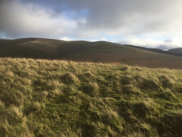
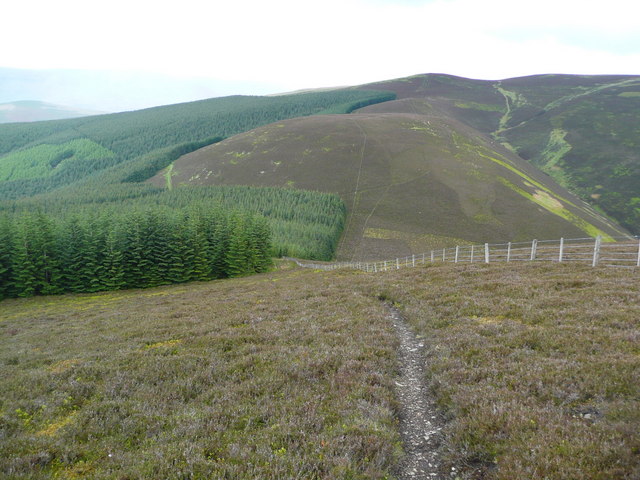
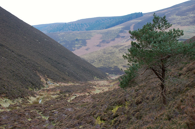
Colquhar Brae is a picturesque wood located in Peeblesshire, a historic county in the southern part of Scotland. Nestled amidst the rolling hills and verdant landscapes, this forested area offers a tranquil and idyllic retreat for nature lovers and outdoor enthusiasts.

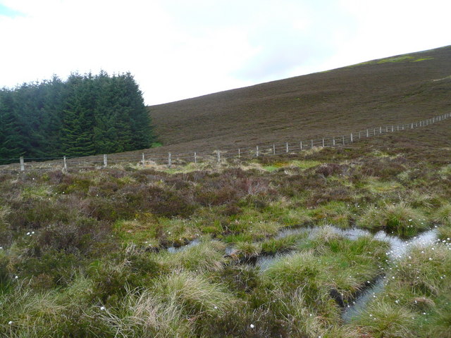
Covering an expansive area, Colquhar Brae is home to a diverse range of flora and fauna. The wood is primarily composed of native Scottish trees such as oak, birch, and pine, which create a rich and vibrant ecosystem. The forest floor is adorned with a carpet of mosses, ferns, and wildflowers, adding to the enchanting ambiance.

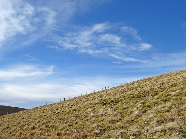
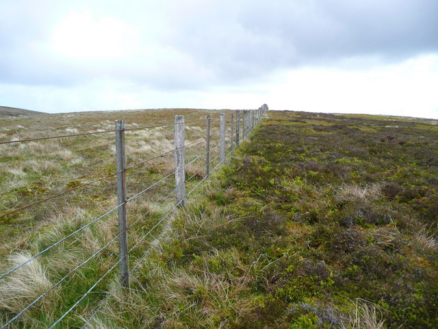
Visitors to Colquhar Brae can enjoy a variety of recreational activities. There are several well-maintained trails that wind through the woods, providing opportunities for hiking, jogging, and exploring. These paths offer breathtaking views of the surrounding countryside and glimpses of wildlife, including deer, squirrels, and numerous bird species.

The wood also serves as a valuable habitat for a diverse range of bird species, making it a popular destination for birdwatchers. The peaceful atmosphere and abundance of natural resources attract a wide array of avian visitors, including woodpeckers, owls, and various songbirds.

Colquhar Brae is easily accessible, with designated parking areas and well-marked entrances. It is a cherished local resource, offering residents and visitors alike a chance to experience the beauty and tranquility of Peeblesshire's natural environment. Whether one seeks a leisurely stroll or a more challenging hike, Colquhar Brae provides a captivating and rejuvenating experience in the heart of Scotland's woodlands.

If you have any feedback on the listing, please let us know in the comments section below.

Colquhar Brae Images

Images are sourced within 2km of 55.656774/-3.0427259 or Grid Reference NT3440. Thanks to Geograph Open Source API. All images are credited.

Summit, Dod Hill
Summit, Dod Hill
Ridge off Dod Hill View towards the south top of Windlestraw Law.
Ridge off Dod Hill
View towards the south top of Windlestraw Law.
Fence on Windlestraw Law Descending from the southern top of Windlestraw Law on a lovely but bitterly cold day.
Fence on Windlestraw Law
Descending from the southern top of Windlestraw Law on a lovely but bitterly cold day.
Fence on the SW ridge of Windlestraw Law
Soggy ground on the west ridge of Glede Knowe
Struggling up Corby Craigs The path here is indistinct and morale is damaged by losing a lot of height from Priesthope Hill.  The initial descent is on the forest side of the fence and the path is eroded and awkward - cross the fence as soon as possible!
Struggling up Corby Craigs
The path here is indistinct and morale is damaged by losing a lot of height from Priesthope Hill. The initial descent is on the forest side of the fence and the path is eroded and awkward - cross the fence as soon as possible!
The approach to Glede Knowe from Priesthope Hill The path descending here becomes eroded and awkward as it closes the forest - cross the fence to the other side as soon as possible!
The approach to Glede Knowe from Priesthope Hill
The path descending here becomes eroded and awkward as it closes the forest - cross the fence to the other side as soon as possible!
Plover Knowe A ridge off Windlestraw Law towards Scawd Law
Plover Knowe
A ridge off Windlestraw Law towards Scawd Law
Priesthope Sware from Scawd Law Patterns in the heather and bracken give added interest to this profile of the col on the ridge from Priesthope Hill to Corby Craigs.
Priesthope Sware from Scawd Law
Patterns in the heather and bracken give added interest to this profile of the col on the ridge from Priesthope Hill to Corby Craigs.
The head of East Grain The steep slopes on the SE flank of the ridge to Windlestraw Law where the headstreams unite to form the burn of East Grain. West Grain is on the other side of the left-hand ridge of Middle Hill.
The head of East Grain
The steep slopes on the SE flank of the ridge to Windlestraw Law where the headstreams unite to form the burn of East Grain. West Grain is on the other side of the left-hand ridge of Middle Hill.
East Grain below Middle Hill A view upstream by this burn that has cut down between steep slopes on either side.
East Grain below Middle Hill
A view upstream by this burn that has cut down between steep slopes on either side.
The lower end of East Grain The burn joins West Grain just downstream where they form Priesthope Burn.
The lower end of East Grain
The burn joins West Grain just downstream where they form Priesthope Burn.
Windlestraw Law The multiple reentrants are at the head of East Grain, just below the southwest top of Windlestraw Law.
Windlestraw Law
The multiple reentrants are at the head of East Grain, just below the southwest top of Windlestraw Law.
Windlestraw Law from the air The 659 metre peak is to the left of the cloud near the centre.
Windlestraw Law from the air
The 659 metre peak is to the left of the cloud near the centre.
Colquhar Shank from the air Colquhar Shank is in the lowe right corner. Leithen Water can also be seen near the bottom of the photo.
Colquhar Shank from the air
Colquhar Shank is in the lowe right corner. Leithen Water can also be seen near the bottom of the photo.
Forest road, Priesthope Hill The road rises gently from a junction near Pious Dean above the Innerleithen golf course.
Forest road, Priesthope Hill
The road rises gently from a junction near Pious Dean above the Innerleithen golf course.
Shaw Burn, Priesthope Hill A small burn in Caberston Forest draining westwards to the Leithen Water.
Shaw Burn, Priesthope Hill
A small burn in Caberston Forest draining westwards to the Leithen Water.
The Leithen Water Looking upstream from near The Ley.
The Leithen Water
Looking upstream from near The Ley.
Show me another place!

Colquhar Brae is located at Grid Ref: NT3440 (Lat: 55.656774, Lng: -3.0427259)

Unitary Authority: The Scottish Borders

Police Authority: The Lothians and Scottish Borders

What 3 Words

///encoded.identify.bead. Near Innerleithen, Scottish Borders

Related Wikis

Walkerburn

Walkerburn (Scottish Gaelic: Allt an Fhùcadair) is a small village in the Scottish Borders area of Scotland, on the A72 about 8 miles (13 km) from Peebles...

The Kirna

The Kirna, known locally as Kirna House (previously also as Grangehill), is a Category A listed villa in Walkerburn, Peeblesshire, Scotland. It is one...

Windlestraw Law

Windlestraw Law is a hill in the Moorfoot Hills range, part of the Southern Uplands of Scotland. It is the highest peak of the range, and lies north of...

Nether Horsburgh Castle

Nether Horsburgh Castle is a ruined tower house near Cardrona, in the Scottish Borders, in the former county of Peebleshire. It is situated at the back...

Robert Smail's Printing Works

Robert Smail's Printing Works is a fully functional Victorian era letterpress printing works in the small Scottish Borders town of Innerleithen, now preserved...

Vale of Leithen F.C.

Vale of Leithen Football Club are a football club based in the town of Innerleithen, Scotland. They play in the East of Scotland League First Division...

Walkerburn railway station

Walkerburn railway station served the village of Walkerburn, Scottish Borders, Scotland from 1867 to 1962 on the Peebles Railway. == History == The station...

Innerleithen

Innerleithen (Scottish Gaelic: Inbhir Leitheann) is a civil parish and a small town in the committee area of Tweeddale, in the Scottish Borders. It was...

Have you been to Colquhar Brae?

Leave your review of Colquhar Brae below (or comments, questions and feedback).