Broom Plantation

Wood, Forest in Angus

Scotland

Broom Plantation

Minor road, Glen Prosen A minor road descending a wooded hillside towards the Prosen Water in Angus.
Minor road, Glen Prosen Credit: William Starkey

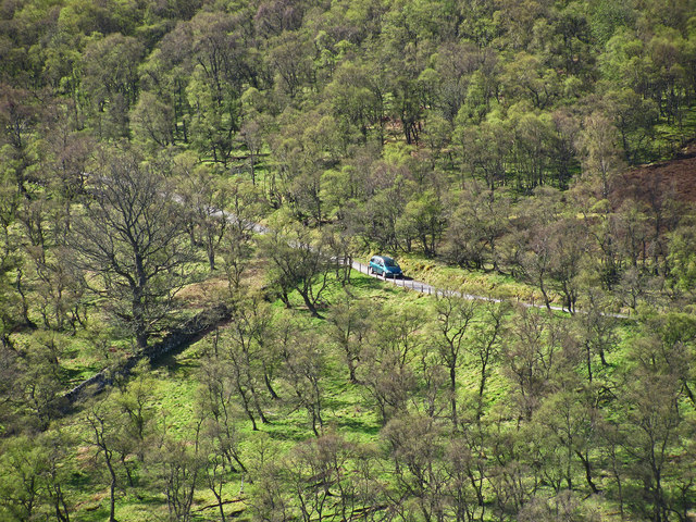
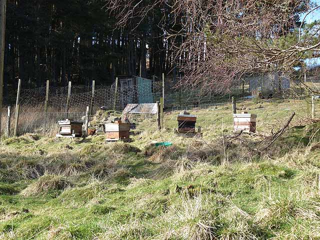
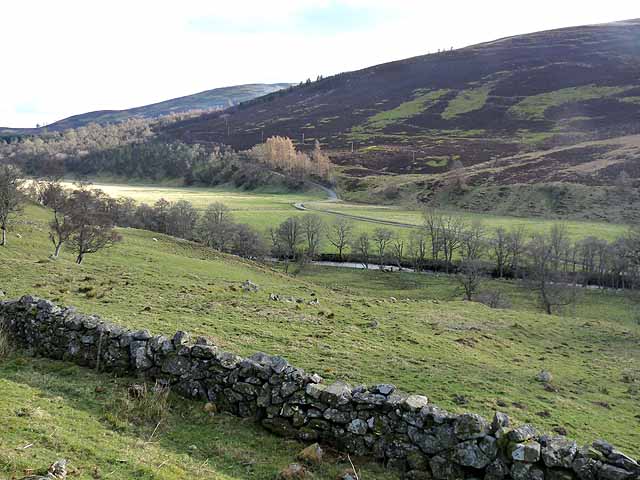
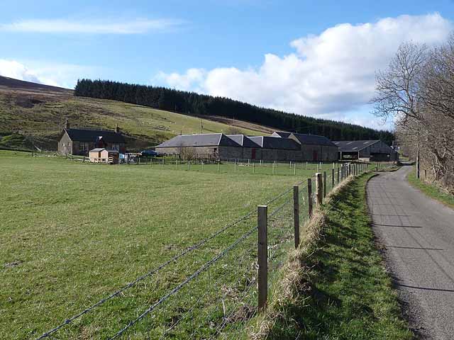
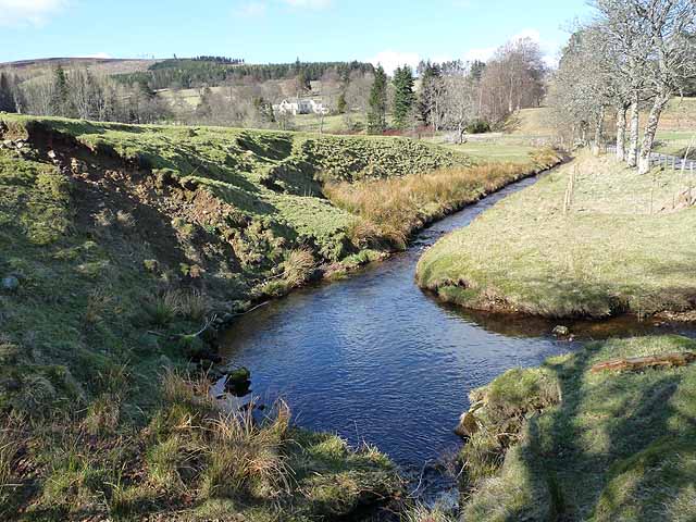
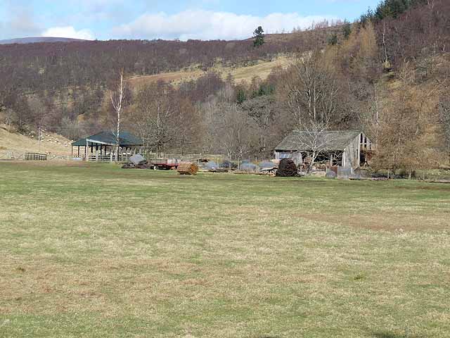
Broom Plantation, located in Angus, Scotland, is a picturesque wood and forest area spread across a vast expanse of land. The plantation is known for its abundant growth of broom, a flowering shrub that adds a vibrant splash of yellow to the landscape during the spring and summer months.

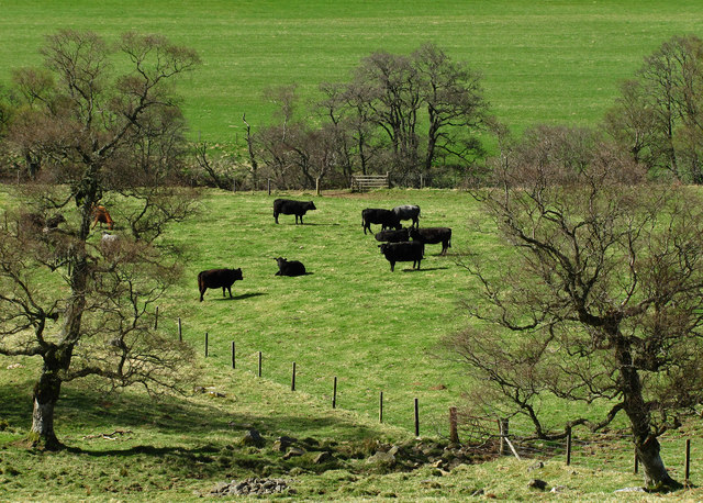
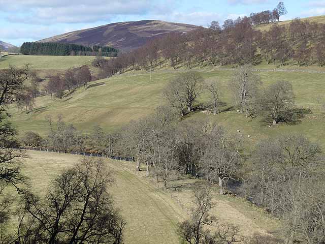
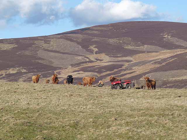
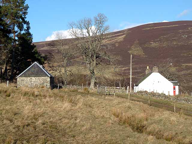
Covering approximately 200 hectares, Broom Plantation is a diverse ecosystem that is home to a wide variety of flora and fauna. The woodlands consist primarily of native species such as birch, oak, and pine, creating a rich and diverse habitat for wildlife. The forest floor is adorned with carpets of bluebells, wild garlic, and other woodland flowers, adding to the natural beauty of the area.

The plantation also boasts a network of well-maintained walking trails, allowing visitors to explore the enchanting woodland at their leisure. These trails offer stunning views of the surrounding countryside and provide an opportunity to observe the local wildlife, including red squirrels, deer, and a multitude of bird species.

Broom Plantation is a popular destination for nature enthusiasts, hikers, and photographers, offering a peaceful retreat away from the hustle and bustle of everyday life. Visitors can immerse themselves in the tranquility of the forest, enjoying the fresh air and the calming sounds of nature.

Overall, Broom Plantation is a remarkable woodland area in Angus, Scotland, offering a haven for both nature lovers and those seeking solace in the beauty of the natural world.

If you have any feedback on the listing, please let us know in the comments section below.

Broom Plantation Images

Images are sourced within 2km of 56.759767/-3.0927997 or Grid Reference NO3363. Thanks to Geograph Open Source API. All images are credited.

Minor road, Glen Prosen A minor road descending a wooded hillside towards the Prosen Water in Angus.
Minor road, Glen Prosen
A minor road descending a wooded hillside towards the Prosen Water in Angus.
Grazing cattle, Glen Prosen.
Glen Uig, Braes of Angus The overgrown sheep fank to the left of the picture shows how grouse moors have replaced sheep runs in this part of the Grampians.
Glen Uig, Braes of Angus
The overgrown sheep fank to the left of the picture shows how grouse moors have replaced sheep runs in this part of the Grampians.
Setting off from Wester Lednathie A Duke of Edinburgh expedition heads for the hills.
Setting off from Wester Lednathie
A Duke of Edinburgh expedition heads for the hills.
Bridge over the Prosen Water Looking downstream, below Glenprosen village.
Bridge over the Prosen Water
Looking downstream, below Glenprosen village.
Belmonies A cottage on the slopes of Glen Uig, a side valley of Glen Prosen.
Belmonies
A cottage on the slopes of Glen Uig, a side valley of Glen Prosen.
Beehives in Glen Uig Adjoining the plantation of Shetland Strip.
Beehives in Glen Uig
Adjoining the plantation of Shetland Strip.
Glen Prosen below Wester Dalinch A small floodplain occupies the floor of Glen Prosen at this point. The minor road up the western side of the Glen can be seen beyond the river.
Glen Prosen below Wester Dalinch
A small floodplain occupies the floor of Glen Prosen at this point. The minor road up the western side of the Glen can be seen beyond the river.
Wester Dalinch Farm A small floodplain occupies the floor of Glen Prosen at this point.
Wester Dalinch Farm
A small floodplain occupies the floor of Glen Prosen at this point.
Glen Prosen above Dodavoe Looking upstream.
Glen Prosen above Dodavoe
Looking upstream.
Burn of Lednathie Glen Uig enters Glen Prosen in a small floodplain. The house of Easter Lednathie can be seen in the middle distance.
Burn of Lednathie
Glen Uig enters Glen Prosen in a small floodplain. The house of Easter Lednathie can be seen in the middle distance.
Barns in Glen Prosen On a small floodplain where Glen Uig joins Glen Prosen.
Barns in Glen Prosen
On a small floodplain where Glen Uig joins Glen Prosen.
Highland cattle and quad bike Above Buckhood. The slopes of the Hill of Couternach beyond.
Highland cattle and quad bike
Above Buckhood. The slopes of the Hill of Couternach beyond.
Scrub on the slopes of Glen Prosen Long Goat <a href="https://www.geograph.org.uk/gridref/NO3361">NO3361</a> on the skyline.
Scrub on the slopes of Glen Prosen
Long Goat NO3361 on the skyline.
Buckhood Cottage in Glencally, a tributary glen to Glen Prosen.
Buckhood
Cottage in Glencally, a tributary glen to Glen Prosen.
Dead tree in Glen Prosen Long Goat <a href="https://www.geograph.org.uk/gridref/NO3361">NO3361</a> on the horizon.
Dead tree in Glen Prosen
Long Goat NO3361 on the horizon.
Cairn above Wester Lednathie Clearly well-constructed for a purpose, but what purpose?
Cairn above Wester Lednathie
Clearly well-constructed for a purpose, but what purpose?
Cottage in Glen Prosen Near Glenprosen Village.
Cottage in Glen Prosen
Near Glenprosen Village.
Show me another place!

Broom Plantation is located at Grid Ref: NO3363 (Lat: 56.759767, Lng: -3.0927997)

Unitary Authority: Angus

Police Authority: Tayside

What 3 Words

///unfolds.grab.prepped. Near Kirriemuir, Angus

Related Wikis

Cat Law

Cat Law (671 m) is a hill in the southern Mounth of Scotland, north of Kirriemuir in Angus. A rounded peak, it lies above Strathmore in the south and offers...

Mile Hill, Dykehead

There is another Mile Hill nearby which is a MarilynMile Hill is located in Angus, Scotland, 1000 metres west of Dykehead. It is a circular hill rising...

Balintore Castle

Balintore Castle is a Victorian Category A listed building in Scotland. The castle occupies an elevated site in moorland above Balintore village, a few...

Ascreavie

Ascreavie is a country house in Angus, Scotland. It is located 2 kilometres (1.2 mi) north of Kirkton of Kingoldrum, and 6 kilometres (3.7 mi) north-west...

Nearby Amenities

Located within 500m of 56.759767,-3.0927997
Power: pole
Lat/Long: 56.7556858/-3.0953297
Power: pole
Lat/Long: 56.7559007/-3.0941989
Power: pole
Lat/Long: 56.7561298/-3.0929598
Power: pole
Lat/Long: 56.7563651/-3.091689
Power: pole
Lat/Long: 56.7565677/-3.0904798
Power: pole
Lat/Long: 56.7567702/-3.0892538
Power: pole
Lat/Long: 56.7569707/-3.0880315
Power: pole
Lat/Long: 56.7571753/-3.0868017
The data included in this document is from www.openstreetmap.org. The data is made available under ODbL.

Have you been to Broom Plantation?

Leave your review of Broom Plantation below (or comments, questions and feedback).