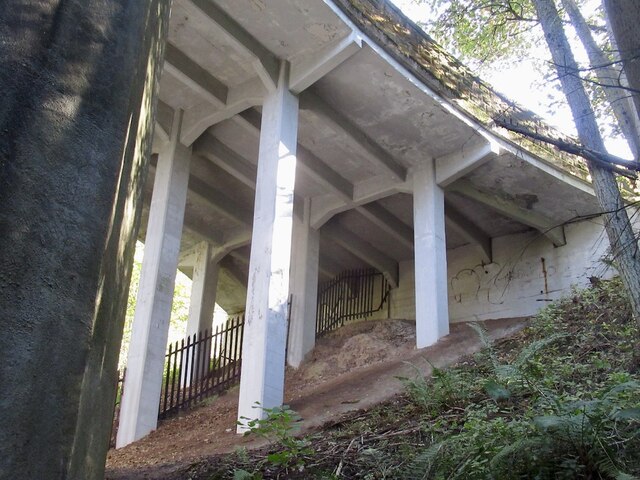
Crow Wood
Wood, Forest in Midlothian
Scotland
Crow Wood

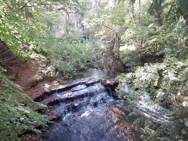
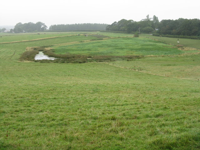
Crow Wood is a picturesque woodland located in Midlothian, Scotland. As the name suggests, the wood is known for its abundance of crows, which can often be seen perched on its tall, ancient trees. The wood covers an expansive area, offering visitors a tranquil and serene environment to explore.
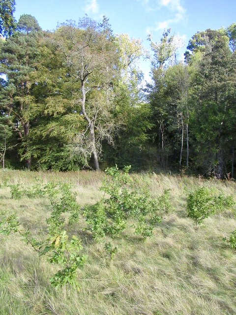
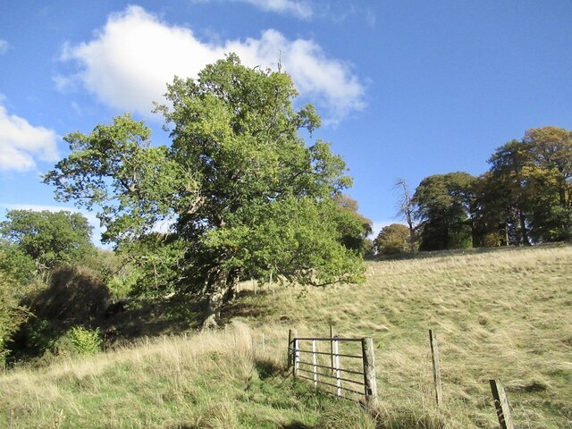
The forest is characterized by its diverse range of trees, including oak, birch, and beech, which create a dense canopy that filters sunlight, casting enchanting patterns on the forest floor. This rich and varied ecosystem provides a habitat for a wide array of wildlife, including deer, foxes, and various bird species.
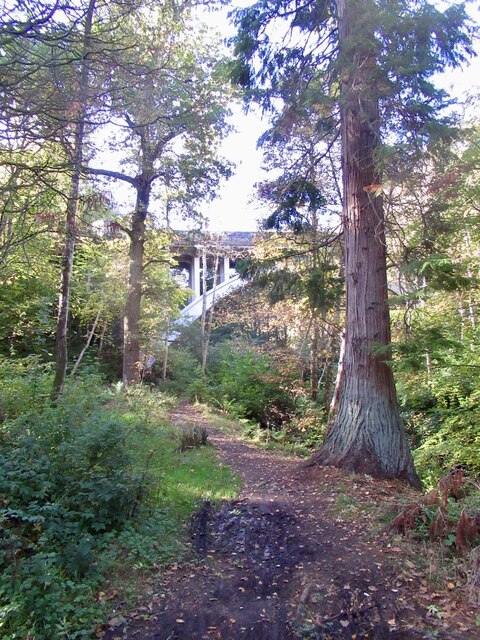
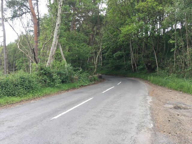
Crow Wood is a popular destination for nature enthusiasts and hikers, offering numerous walking trails that wind through its enchanting landscape. These trails cater to different levels of fitness and provide opportunities for visitors to immerse themselves in the natural beauty of the wood.
The woodland is well-maintained, with clear signposts and well-maintained paths, ensuring visitors can navigate the wood with ease. There are also picnic areas and benches scattered throughout the wood, allowing visitors to take a break and appreciate the peaceful surroundings.
Crow Wood is especially beautiful during the autumn months when the leaves change color, painting the forest in vibrant hues of red, orange, and gold. This spectacle attracts many photographers and nature enthusiasts who come to capture the breathtaking scenes.
Overall, Crow Wood in Midlothian is a stunning and diverse woodland that offers visitors a chance to escape the hustle and bustle of everyday life and reconnect with nature in a serene and tranquil setting.
If you have any feedback on the listing, please let us know in the comments section below.
Crow Wood Images
Images are sourced within 2km of 55.818247/-3.0675971 or Grid Reference NT3358. Thanks to Geograph Open Source API. All images are credited.


Crow Wood is located at Grid Ref: NT3358 (Lat: 55.818247, Lng: -3.0675971)
Unitary Authority: Midlothian
Police Authority: The Lothians and Scottish Borders
What 3 Words
///ripen.lure.types. Near Gorebridge, Midlothian
Nearby Locations
Related Wikis

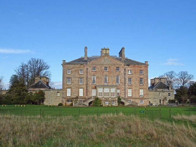
Arniston House
Arniston House is a historic house in Midlothian, Scotland, near the village of Temple. This Georgian mansion was designed by William Adam in 1726 for...

Temple, Midlothian
Temple (Scottish Gaelic: Baile nan Trodach) is a village and civil parish in Midlothian, Scotland. Situated to the south of Edinburgh, the village lies...

Arniston, Midlothian
Arniston is a village in Midlothian, Scotland. == People from Arniston == The plant collector, David Bowman, was born in Arniston in 1838. == See also... ==

Carrington, Midlothian
Carrington is a small, rural village in Midlothian, Scotland. It is located to the south of Bonnyrigg. The civil parish of the same name has a population...
Birkenside, Midlothian
Birkenside is a village, adjacent to the A7 road, at the south of Gorebridge in Midlothian, Scotland. == See also == List of places in Midlothian List...
Catcune Castle
Catcune Castle was a castle around 1 mile (1.6 km) south of Gorebridge, north of the Gore Water, in Midlothian, Scotland. == History == This was originally...
Fushiebridge railway station
Fushiebridge railway station served the area of Fushiebridge, Gorebridge, from 1847 to 1959 on the Waverley Route. == History == The station opened on...

Midlothian (UK Parliament constituency)
Midlothian in Scotland is a county constituency of the House of Commons of the Parliament of the United Kingdom. It elects one Member of Parliament (MP...
Nearby Amenities
Located within 500m of 55.818247,-3.0675971Have you been to Crow Wood?
Leave your review of Crow Wood below (or comments, questions and feedback).