Chapelbank Plantation

Wood, Forest in Angus

Scotland

Chapelbank Plantation

Looking SE from Kinpurney Hill Looking SE from Kinpurney Hill across the grassy hills to Auchterhouse Hill.
Looking SE from Kinpurney Hill Credit: I A Smellie

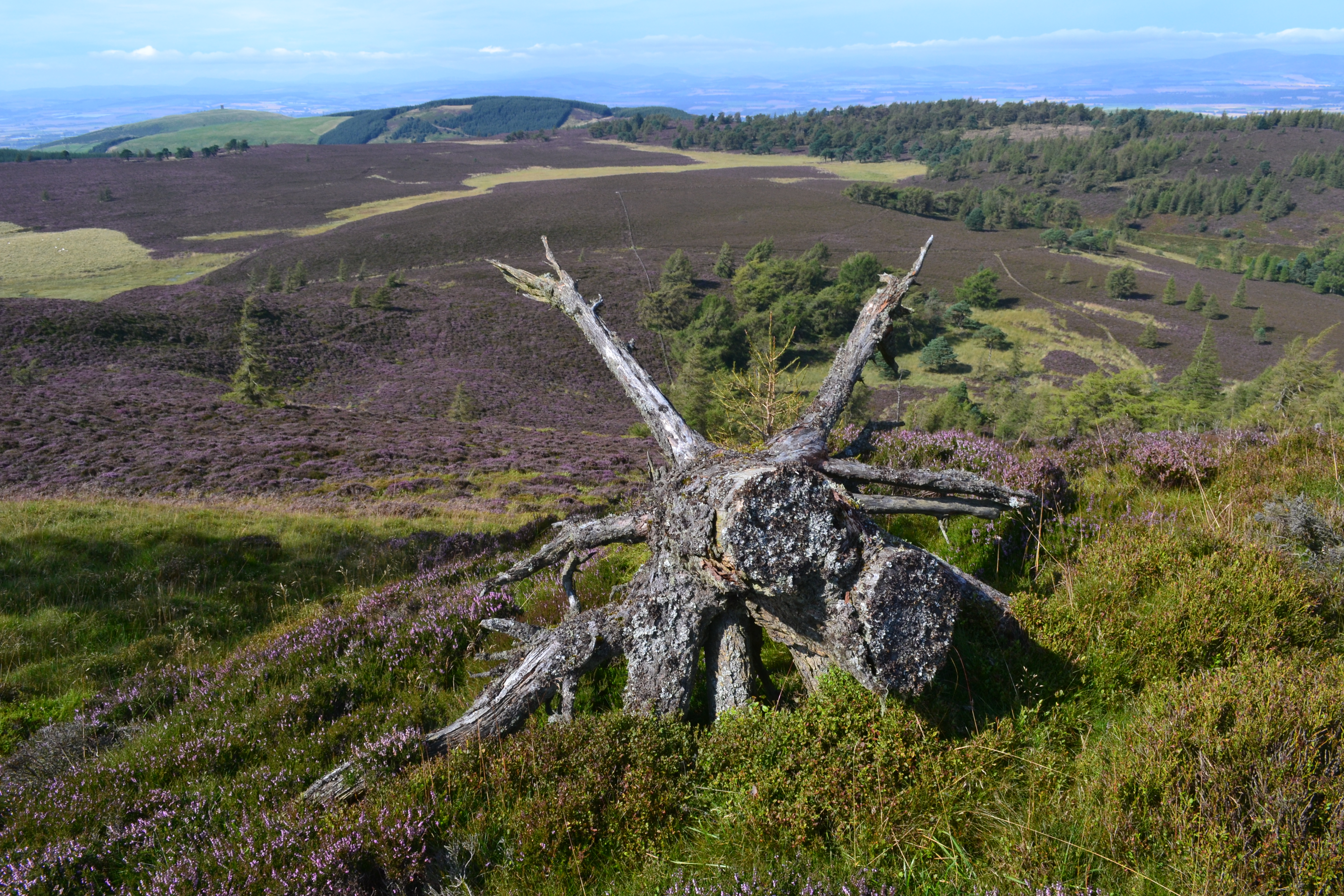
Chapelbank Plantation is a picturesque woodland area located in the county of Angus, Scotland. Spanning over a vast area, this plantation is known for its scenic beauty and diverse range of flora and fauna. The plantation is situated near the small village of Chapelbank, adding to its charm and accessibility.

The woodland in Chapelbank Plantation consists mainly of native trees such as oak, birch, and beech, creating a rich and varied ecosystem. The dense canopy provides a haven for numerous species of birds, including woodpeckers, tawny owls, and chaffinches. Visitors to the plantation can enjoy the melodious sounds of these birds while exploring the peaceful trails that wind through the woodland.

Chapelbank Plantation is also home to a variety of wildlife, including red squirrels, foxes, and deer. Nature enthusiasts and photographers frequent the plantation to catch a glimpse of these creatures in their natural habitat. In addition, the woodland floor is carpeted with an array of wildflowers and ferns, adding vibrant colors to the landscape throughout the seasons.

Due to its natural beauty and ecological significance, Chapelbank Plantation is a popular destination for outdoor activities. Walking, hiking, and cycling are some of the favored activities enjoyed by visitors. The well-maintained trails offer stunning views of the surrounding countryside and provide opportunities to spot the diverse wildlife.

Overall, Chapelbank Plantation in Angus is a captivating woodland area that offers a tranquil retreat for nature lovers. With its scenic beauty, diverse wildlife, and well-maintained trails, it is a must-visit destination for those seeking to immerse themselves in the beauty of the Scottish countryside.

If you have any feedback on the listing, please let us know in the comments section below.

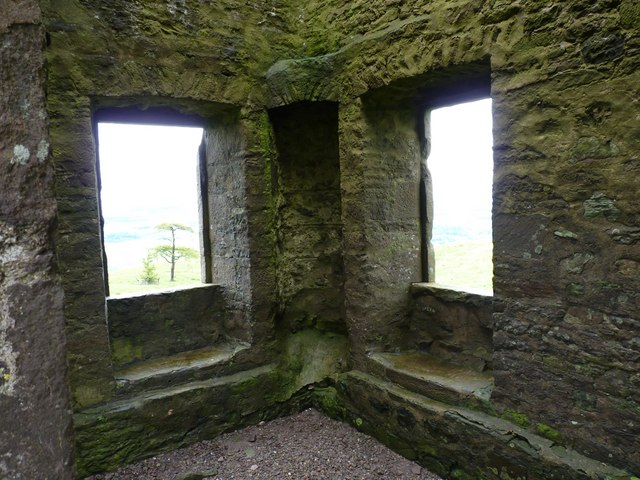
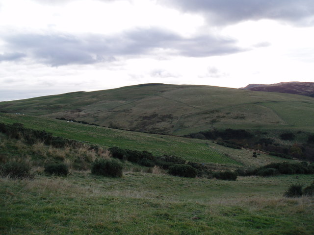
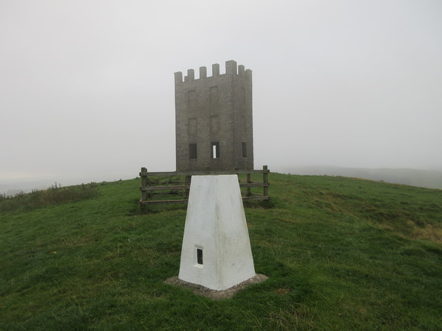
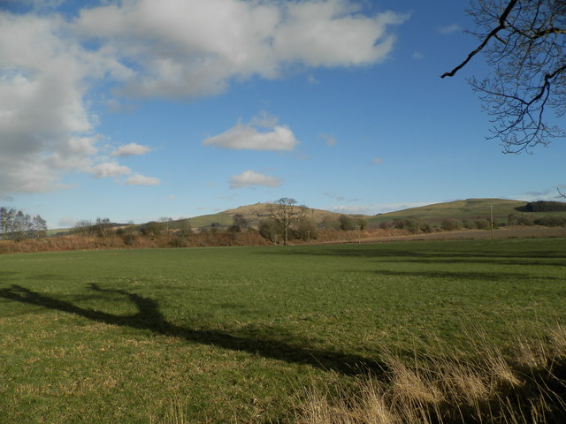
Chapelbank Plantation Images

Images are sourced within 2km of 56.550682/-3.0959566 or Grid Reference NO3240. Thanks to Geograph Open Source API. All images are credited.

Looking SE from Kinpurney Hill Looking SE from Kinpurney Hill across the grassy hills to Auchterhouse Hill.
Looking SE from Kinpurney Hill
Looking SE from Kinpurney Hill across the grassy hills to Auchterhouse Hill.
Puddles on the track Near Kinpurney Hill.
Puddles on the track
Near Kinpurney Hill.
Conifers on Kinpurney A young plantation on the flank of Kinpurney Hill, with a rainstorm sweeping down Strathmore in the background.
Conifers on Kinpurney
A young plantation on the flank of Kinpurney Hill, with a rainstorm sweeping down Strathmore in the background.
Sturdy walls The disused 1774 observatory building on Kinpurney Hill was built to last and after refurbishment in the 1970s it still stands as a prominent hilltop landmark in the Angus countryside.
Sturdy walls
The disused 1774 observatory building on Kinpurney Hill was built to last and after refurbishment in the 1970s it still stands as a prominent hilltop landmark in the Angus countryside.
Struggling to survive Four trees, protected in some measure from the wind, are managing to survive the elements near to top of Kinpurney Hill.
Struggling to survive
Four trees, protected in some measure from the wind, are managing to survive the elements near to top of Kinpurney Hill.
Kilpurney trig With Newtyle village in the background.
Kilpurney trig
With Newtyle village in the background.
Path going NE from Kilpurney Hill This is a viable footpath on a route between the Angus Council Core Path up Kilpurnedy Hill and the Core Path around Henderston Hill
Path going NE from Kilpurney Hill
This is a viable footpath on a route between the Angus Council Core Path up Kilpurnedy Hill and the Core Path around Henderston Hill
Firebreak with path Leading to the vehicle track designated an Angus Council Core Path on Henderston Hill.
Firebreak with path
Leading to the vehicle track designated an Angus Council Core Path on Henderston Hill.
Gate on Newtyle Path Network Situated at the northern end of the track leading to Kinpurnie Hill
Gate on Newtyle Path Network
Situated at the northern end of the track leading to Kinpurnie Hill
Kinpurnie Tower Local history records that the tower was built as an observatory by a local landlord, James Mackenzie, in 1774.
 However a local tale is less prosaic.
David Gray, a prolific poacher, took stock from his favourite haunts of Auchterhouse, Balunie, Camperdown and more besides. The local lairds, fed up with his activities, laid a trap by inviting applications for the post of a hermit at the tower. Knowing that the vacancy   would appeal to Gray, as he enjoyed his own company, they advertised the position with the sweetener of daily sustenance and if he stayed seven years he would be given £100 at the end. He survived for the full period receiving bread and water daily through an aperture in the wall without any communication from his providers. He was released at the end of his stint but was quite mad and died a couple of years later.
Kinpurnie Tower
Local history records that the tower was built as an observatory by a local landlord, James Mackenzie, in 1774. However a local tale is less prosaic. David Gray, a prolific poacher, took stock from his favourite haunts of Auchterhouse, Balunie, Camperdown and more besides. The local lairds, fed up with his activities, laid a trap by inviting applications for the post of a hermit at the tower. Knowing that the vacancy would appeal to Gray, as he enjoyed his own company, they advertised the position with the sweetener of daily sustenance and if he stayed seven years he would be given £100 at the end. He survived for the full period receiving bread and water daily through an aperture in the wall without any communication from his providers. He was released at the end of his stint but was quite mad and died a couple of years later.
Approach to Kinpurnie Tower
Unnamed lochan Rather than a natural loch, it is suspected that the lochan is a man made reservoir
Unnamed lochan
Rather than a natural loch, it is suspected that the lochan is a man made reservoir
Trig point on Kinpurnie Hill Overlooking the farming country of Strathmore
Trig point on Kinpurnie Hill
Overlooking the farming country of Strathmore
Hatton Hill from Kinpurnie
Felled plantation, Kinpurney Hill
Kinpurney Hill Tower
Kinpurney Hill With trig point and disused observatory.
Kinpurney Hill
With trig point and disused observatory.
Kinpurney Hill triangulation pillar White trig point on Kinpurney Hill, with tower in background.
Kinpurney Hill triangulation pillar
White trig point on Kinpurney Hill, with tower in background.
Show me another place!

Chapelbank Plantation is located at Grid Ref: NO3240 (Lat: 56.550682, Lng: -3.0959566)

Unitary Authority: Angus

Police Authority: Tayside

What 3 Words

///haggis.warnings.pokes. Near Muirhead, Angus

Related Wikis

Kinpurnie Hill

Kinpurnie Hill is one of the most famous hills of the Sidlaw range in south-east Perthshire. Kinpurnie Hill is located near Newtyle and is popular with...

Hatton Hill

Hatton Hill is a mountain landform in Angus, Scotland in the Sidlaw Hills. Hatton Castle stands on the flanks of Hatton Hill above the village of Newtyle...

Balcraig Castle

Balcraig Castle was built on lands given to the Oliphants by King Robert the Bruce circa 1317. == Location == Balcraig Castle stood on the western flank...

Hatton Castle, Angus

Hatton Castle stands on the lower part of Hatton Hill, the most easterly of the Sidlaw Hills, to the south of Newtyle in Angus, Scotland. The castle overlooks...

Auchterhouse Hill

Auchterhouse Hill is the second highest hill of the Sidlaw range in South East Angus. At 426 metres (1,398 ft), it is classified as a Tump with a relative...

Auchterhouse railway station

Auchterhouse railway station served the village of Auchterhouse in the Scottish county of Angus. Services were provided by the Dundee and Newtyle Railway...

Auchterhouse

Auchterhouse is a village, community, and civil parish in the Scottish council area of Angus, located 7.3 miles (11.7 km) north west of Dundee, 9.5 miles...

Newtyle railway station (old)

Newtyle railway station served the village of Newtyle, Angus, Scotland from 1831 to 1868 on the Dundee and Newtyle Railway. == History == The station opened...

Nearby Amenities

Located within 500m of 56.550682,-3.0959566
Henderston
Place: hamlet
Lat/Long: 56.5512183/-3.0963984
Power: pole
Lat/Long: 56.5484176/-3.1028008
Power: pole
Lat/Long: 56.5488934/-3.1019095
Power: pole
Lat/Long: 56.5493169/-3.1010823
Power: pole
Lat/Long: 56.5498421/-3.1000706
Power: pole
Lat/Long: 56.5503729/-3.0990205
Power: pole
Lat/Long: 56.5508444/-3.0980677
Power: pole
Lat/Long: 56.5513018/-3.0971073
Power: pole
Lat/Long: 56.551779/-3.096093
Power: pole
Lat/Long: 56.552146/-3.095194
Power: pole
Lat/Long: 56.552482/-3.0943847
Power: pole
Lat/Long: 56.5528406/-3.0935036
The data included in this document is from www.openstreetmap.org. The data is made available under ODbL.

Have you been to Chapelbank Plantation?

Leave your review of Chapelbank Plantation below (or comments, questions and feedback).