Braeside Wood

Wood, Forest in Aberdeenshire

Scotland

Braeside Wood

Lynardoch from high on the hill I'm climbing up in the wood, as there is wonderful large patch of impenetrable juniper in the open.
Lynardoch from high on the hill Credit: Peter Aikman

Braeside Wood is a picturesque forest located in Aberdeenshire, Scotland. Covering an area of approximately 100 hectares, the wood is situated on the southern slopes of the River Dee valley, near the village of Banchory.

The woodland is predominantly made up of mixed coniferous and deciduous trees, including Scots pine, oak, birch, and beech. The diverse range of tree species creates a rich and varied habitat for a wide array of flora and fauna. Bluebells, wood sorrel, and wild garlic carpet the forest floor during the spring months, providing a stunning display of colors and scents.

The wood is crisscrossed by a network of well-maintained paths and trails, making it a popular destination for outdoor enthusiasts. Visitors can explore the forest on foot, bicycle, or horseback, taking in the breathtaking views of the surrounding countryside. The paths also provide access to several viewpoints, offering panoramic vistas of the River Dee and the rolling hills beyond.

Braeside Wood is home to a diverse range of wildlife, including red squirrels, roe deer, and a variety of bird species such as woodpeckers, owls, and buzzards. Nature lovers can often spot these creatures while strolling through the forest, or by quietly observing from one of the many designated bird hides.

Overall, Braeside Wood offers a tranquil escape from the hustle and bustle of everyday life, allowing visitors to immerse themselves in the beauty of nature and experience the serenity of the Scottish countryside.

If you have any feedback on the listing, please let us know in the comments section below.

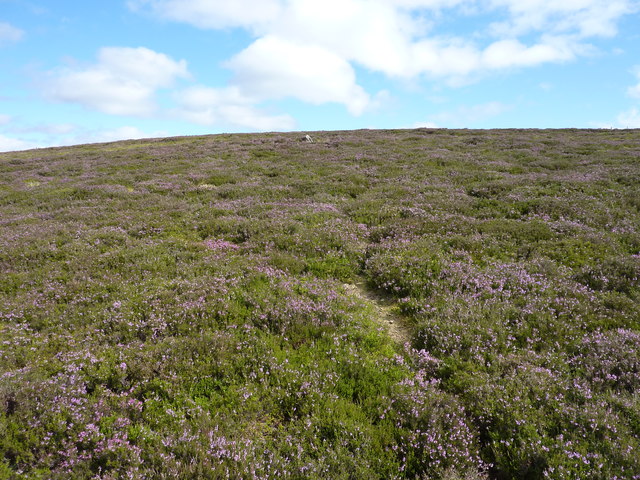
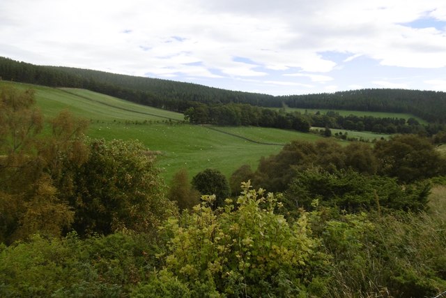
Braeside Wood Images

Images are sourced within 2km of 57.201238/-3.1211222 or Grid Reference NJ3212. Thanks to Geograph Open Source API. All images are credited.

Lynardoch from high on the hill I'm climbing up in the wood, as there is wonderful large patch of impenetrable juniper in the open.
Lynardoch from high on the hill
I'm climbing up in the wood, as there is wonderful large patch of impenetrable juniper in the open.
Moorland around the headwaters of the Burn of Relaquheim
Two kinds of moorland - heather ( drier ) and grass ( boggy ).
The exciting part of climbing in the Grampians - approaching the top
A final obstacle - the top of the hill is on the other side of the fence It's too low to be a deer fence and too high for sheep, and too high for me, but I can slip through.
A final obstacle - the top of the hill is on the other side of the fence
It's too low to be a deer fence and too high for sheep, and too high for me, but I can slip through.
It's impossible to tell which patch of heather is the top of this 538m high hill No wonder it is unnamed.
It's impossible to tell which patch of heather is the top of this 538m high hill
No wonder it is unnamed.
Burnt juniper Two things annoy me in the hills. One is finding a fence in my way. The other is out-of-control muir burning, here leaving charred juniper in Glen Ernan.
Burnt juniper
Two things annoy me in the hills. One is finding a fence in my way. The other is out-of-control muir burning, here leaving charred juniper in Glen Ernan.
Glen Ernan near Edinglassie House One of several glens cutting deep into the Ladder Hills. The habitat favours a small number of Black Grouse.
Glen Ernan near Edinglassie House
One of several glens cutting deep into the Ladder Hills. The habitat favours a small number of Black Grouse.
Park, Edinglassie House Parkland in Glen Earnan.
Park, Edinglassie House
Parkland in Glen Earnan.
Ernan Water Upstream from the end of the public road.
Ernan Water
Upstream from the end of the public road.
Road, Glen Ernan View up the glen which has quite a bit of agricultural land in it - due to limestone.
Road, Glen Ernan
View up the glen which has quite a bit of agricultural land in it - due to limestone.
Fields, Edinglassie Improved agricultural land behind Edinglassie House.
Fields, Edinglassie
Improved agricultural land behind Edinglassie House.
Relaquheim and Lynardoch Empty farm buildings in Glen Ernan.  The land is good grazing thanks to underlying limestone.
Relaquheim and Lynardoch
Empty farm buildings in Glen Ernan. The land is good grazing thanks to underlying limestone.
Road, Glen Ernan There are improved fields between the patches of moorland.
Road, Glen Ernan
There are improved fields between the patches of moorland.
Lynardoch Site of a farm in Glen Ernan on lime rich soil.
Lynardoch
Site of a farm in Glen Ernan on lime rich soil.
Road in Glen Ernan View towards Sròn Aonghais.
Road in Glen Ernan
View towards Sròn Aonghais.
Burn of Lynmore Below the road up Glen Ernan.
Burn of Lynmore
Below the road up Glen Ernan.
Road, Glen Ernan There is a healthy, regenerating birch wood below the road here as well as the dense juniper.
Road, Glen Ernan
There is a healthy, regenerating birch wood below the road here as well as the dense juniper.
Show me another place!

Braeside Wood is located at Grid Ref: NJ3212 (Lat: 57.201238, Lng: -3.1211222)

Unitary Authority: Aberdeenshire

Police Authority: North East

What 3 Words

///greet.walkway.pizzeria. Near Ballater, Aberdeenshire

Nearby Locations

Braeside Wood

Related Wikis

Lost, Aberdeenshire

Lost (Lòsda in Scottish Gaelic; population: less than 24; grid reference NJ349132 or on 1869 map) is a hamlet in Aberdeenshire, Scotland. It lies 40 miles...

Doune of Invernochty

The Doune of Invernochty is a 12th-century castle in the Cairngorms National Park in Scotland, of which only earthworks survive. The Royal Commission on...

Strathdon

Strathdon (; Gaelic: Srath Dheathain) is an area in Aberdeenshire, Scotland. It is situated in the strath of the River Don, 45 miles west of Aberdeen in...

Bellabeg

Bellabeg (an anglicisation of Scottish Gaelic: Am Baile Beag, 'the small farmtown') is a small roadside settlement in Strathdon, Aberdeenshire, Scotland...

Nearby Amenities

Located within 500m of 57.201238,-3.1211222
Ele: 534
Natural: peak
Lat/Long: 57.2026409/-3.1251867
The data included in this document is from www.openstreetmap.org. The data is made available under ODbL.

Have you been to Braeside Wood?

Leave your review of Braeside Wood below (or comments, questions and feedback).