Caerleebank Wood

Wood, Forest in Peeblesshire

Scotland

Caerleebank Wood

Innerleithen from Traquair A view from the Southern Upland Way to the town with Lee Pen in cloud beyond.
Innerleithen from Traquair Credit: Jim Barton

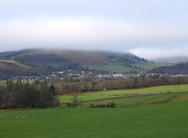
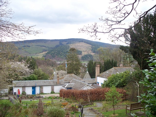
Caerleebank Wood is a serene and picturesque woodland located in Peeblesshire, Scotland. Spanning over a vast area, this forest is a haven for nature enthusiasts, hikers, and those seeking a peaceful escape from the hustle and bustle of everyday life.

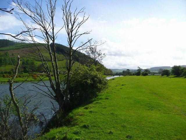
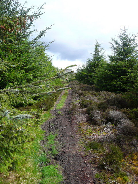
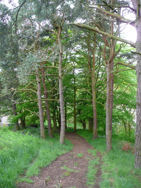
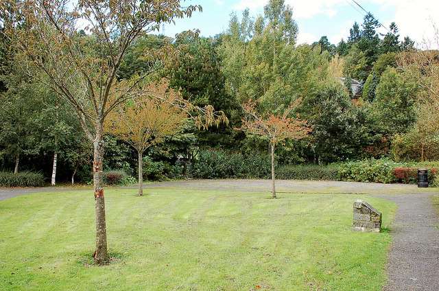
The wood is primarily composed of a diverse array of trees, including oak, birch, and pine, which create a rich and varied landscape. The towering trees provide ample shade during the summer months, while their vibrant foliage offers a stunning display of colors in the autumn. The forest floor is blanketed with a lush carpet of mosses, ferns, and wildflowers, adding to the enchanting atmosphere.

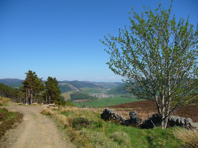
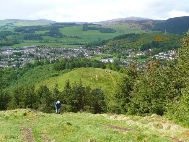
Several well-maintained trails crisscross through Caerleebank Wood, offering visitors the opportunity to explore its hidden treasures. As they wander along the paths, visitors may come across babbling brooks, small waterfalls, and even the occasional wildlife sighting. Birdwatchers will be delighted by the diverse avian population that calls the wood home, including woodpeckers, thrushes, and various species of owls.

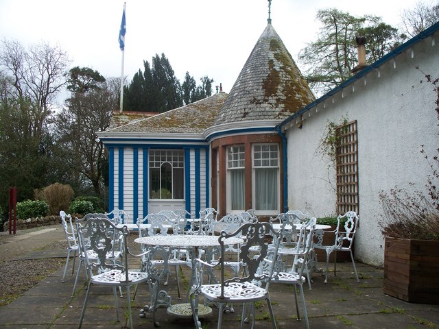
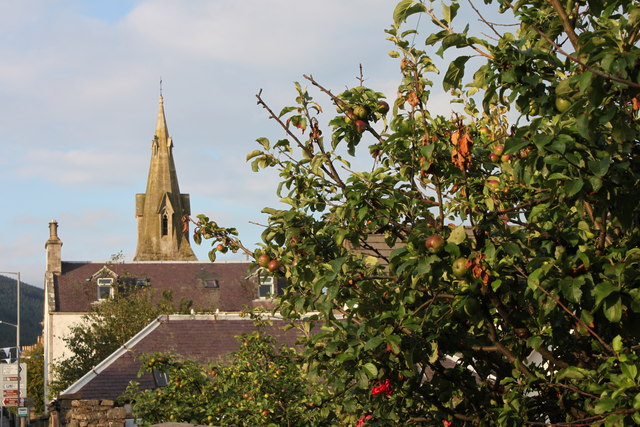
Caerleebank Wood is a perfect destination for a peaceful picnic or a leisurely stroll. The air is crisp and fragrant, and the surrounding silence is broken only by the gentle rustling of leaves or the chirping of birds. The wood is easily accessible and is located just a short drive away from Peebles, a charming market town.

With its natural beauty and tranquility, Caerleebank Wood offers an idyllic escape for anyone seeking solace in nature's embrace.

If you have any feedback on the listing, please let us know in the comments section below.

Caerleebank Wood Images

Images are sourced within 2km of 55.622019/-3.0757856 or Grid Reference NT3237. Thanks to Geograph Open Source API. All images are credited.

Innerleithen from Traquair A view from the Southern Upland Way to the town with Lee Pen in cloud beyond.
Innerleithen from Traquair
A view from the Southern Upland Way to the town with Lee Pen in cloud beyond.
Roman Catholic Church of St James, Innerleithen
Church Hall for Roman Catholic Church of St James,
Forest walk Forest walk in Cardrona Forest with view over Tweed Valley to Peebles some 4 or 5 miles distant. Cardrona Forest which is owned by the Forestry Commission has many fine forest walks. It is also a haven for a great variety of wildlife including the recent welcome return of nesting Ospreys.
Forest walk
Forest walk in Cardrona Forest with view over Tweed Valley to Peebles some 4 or 5 miles distant. Cardrona Forest which is owned by the Forestry Commission has many fine forest walks. It is also a haven for a great variety of wildlife including the recent welcome return of nesting Ospreys.
The Tweed at Innerleithen The disused railway bridge (the Haugh-head Viaduct, opened 1866 by North British Rail) in the distance.
The Tweed at Innerleithen
The disused railway bridge (the Haugh-head Viaduct, opened 1866 by North British Rail) in the distance.
The path to Kirnie Law
Looking back on Pirn Hill and its viewpoint The seven stone plinths at the viewpoint above Innerleithen can be clarly seen.
Looking back on Pirn Hill and its viewpoint
The seven stone plinths at the viewpoint above Innerleithen can be clarly seen.
Path through the trees from Pirn Hill
Playing fields at Innerleithen
Coat of arms on St. Ronan's Well pavilion
St Ronans well pavilion from the rear garden
The Pavilion at St Ronan's well
St. James Roman Catholic Church, Innerleithen A sunny day in Innerleithen, the Church Spire makes a superb backdrop to the fruits of the tree.
St. James Roman Catholic Church, Innerleithen
A sunny day in Innerleithen, the Church Spire makes a superb backdrop to the fruits of the tree.
St. James Roman Catholic Church, Innerleithen A blue sky background to a dramatic subject, a very pretty church, in a lovely village by the River Tweed.
St. James Roman Catholic Church, Innerleithen
A blue sky background to a dramatic subject, a very pretty church, in a lovely village by the River Tweed.
D-Day commemorative trees, Innerleithen Trees by the car park in Hall Street. A plaque on the stone plinth reads:

Three Trees Were Planted By
The Chairman Of
Innerleithen Traquair & Glen
Community Council
On The 6th June 1994
To Commemorate The
50th Anniversary Of The D-Day
Landings In France
D-Day commemorative trees, Innerleithen
Trees by the car park in Hall Street. A plaque on the stone plinth reads: Three Trees Were Planted By The Chairman Of Innerleithen Traquair & Glen Community Council On The 6th June 1994 To Commemorate The 50th Anniversary Of The D-Day Landings In France
Old sluice gate mechanism, Leithen Water Remains of the mechanism to control the flow of water over the weir built in 1846 to supply waterwheels along the 'Innerleithen Dam' as the mill lade was called.

Note the dipper perched on a stone to the right of the two vertical rods.
Old sluice gate mechanism, Leithen Water
Remains of the mechanism to control the flow of water over the weir built in 1846 to supply waterwheels along the 'Innerleithen Dam' as the mill lade was called. Note the dipper perched on a stone to the right of the two vertical rods.
Intake for the mill lade or dam The intake at the weir built in 1846 for the 'Innerleithen Dam'.
Intake for the mill lade or dam
The intake at the weir built in 1846 for the 'Innerleithen Dam'.
Start of the mill lade above Innerleithen The W side of the bridge where the lade passes under the B709, shown in <a href="https://www.geograph.org.uk/photo/2678048">NT3338 : Intake for the mill lade or dam</a>. The water eventually discharges into the Tweed.
Start of the mill lade above Innerleithen
The W side of the bridge where the lade passes under the B709, shown in NT3338 : Intake for the mill lade or dam. The water eventually discharges into the Tweed.
Show me another place!

Caerleebank Wood is located at Grid Ref: NT3237 (Lat: 55.622019, Lng: -3.0757856)

Unitary Authority: The Scottish Borders

Police Authority: The Lothians and Scottish Borders

What 3 Words

///spellings.shot.dunes. Near Innerleithen, Scottish Borders

Related Wikis

Vale of Leithen F.C.

Vale of Leithen Football Club are a football club based in the town of Innerleithen, Scotland. They play in the East of Scotland League First Division...

Leithen Water

Leithen Water (Scottish Gaelic: Leitheann / Abhainn Leitheinn) is a tributary of the River Tweed in Scotland. It rises in the Moorfoot Hills and joins...

Robert Smail's Printing Works

Robert Smail's Printing Works is a fully functional Victorian era letterpress printing works in the small Scottish Borders town of Innerleithen, now preserved...

Innerleithen railway station

Innerleithen railway station served the town of Innerleithen, Scottish Borders, Scotland from 1864 to 1962 on the Peebles Railway. == History == The station...

Innerleithen

Innerleithen (Scottish Gaelic: Inbhir Leitheann) is a civil parish and a small town in the committee area of Tweeddale, in the Scottish Borders. It was...

Traquair House

Traquair House, approximately 7 miles southeast of Peebles, is claimed to be the oldest continually inhabited house in Scotland. Whilst not strictly a...

Cardrona Forest

The Cardrona Forest is a forest in the Scottish Borders area of Scotland, on the B7062, near Peebles. OS Grid Reference: NT292385. Cardrona Forest consists...

Traquair

Traquair (Scottish Gaelic: Cille Bhrìghde) is a small village and civil parish in the Scottish Borders; until 1975 it was in the county of Peeblesshire...

Nearby Amenities

Located within 500m of 55.622019,-3.0757856
Caerlee Hill
Ele: 259
Natural: peak
Lat/Long: 55.6199481/-3.0739295
Communication Mobile Phone: yes
Man Made: mast
Material: steel
Tower Construction: lattice
Tower Type: communication
Lat/Long: 55.6203257/-3.0727384
Barrier: kissing_gate
Foot: yes
Lat/Long: 55.6211116/-3.0741231
Bench
Backrest: yes
Material: wood
Lat/Long: 55.6212156/-3.072659
Barrier: stile
Foot: yes
Material: wood
Stile: ladder
Lat/Long: 55.6260928/-3.073131
Power: pole
Lat/Long: 55.6191571/-3.0704098
Power: pole
Lat/Long: 55.6193685/-3.0710904
Power: pole
Lat/Long: 55.6196027/-3.0718123
Power: pole
Lat/Long: 55.619841/-3.0725643
Bench
Backrest: yes
Foot: yes
Material: wood
Lat/Long: 55.6211766/-3.0741507
Generator Method: photovoltaic
Generator Output Electricity: yes
Generator Source: solar
Generator Type: solar_photovoltaic_panel
Power: generator
Lat/Long: 55.6202649/-3.0689761
Generator Method: photovoltaic
Generator Output Electricity: yes
Generator Source: solar
Generator Type: solar_photovoltaic_panel
Power: generator
Lat/Long: 55.6230455/-3.0685822
The data included in this document is from www.openstreetmap.org. The data is made available under ODbL.

Have you been to Caerleebank Wood?

Leave your review of Caerleebank Wood below (or comments, questions and feedback).