Balnacoul Wood

Wood, Forest in Morayshire

Scotland

Balnacoul Wood

The Great Mosstodloch Traffic Jam As part of the construction of the new bypass for Fochabers and Mosstodloch, it has been necessary to reduce the A96 to single file traffic, and this is the result. Traffic queueing for almost a mile in Mosstodloch. They say it's only for a week, but how many more times is something similar going to happen? It's a splendid disincentive to going anywhere west of the River Spey! See also <a href="https://www.geograph.org.uk/photo/2404397">NJ3459 : The Great Spey Bridge Traffic Jam</a>.
The Great Mosstodloch Traffic Jam Credit: Anne Burgess

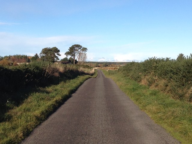
Balnacoul Wood is a picturesque forest located in Morayshire, Scotland. Covering an area of approximately 500 acres, it is a haven of natural beauty and wildlife. The wood is situated near the village of Birnie, just a few miles south of the town of Elgin.

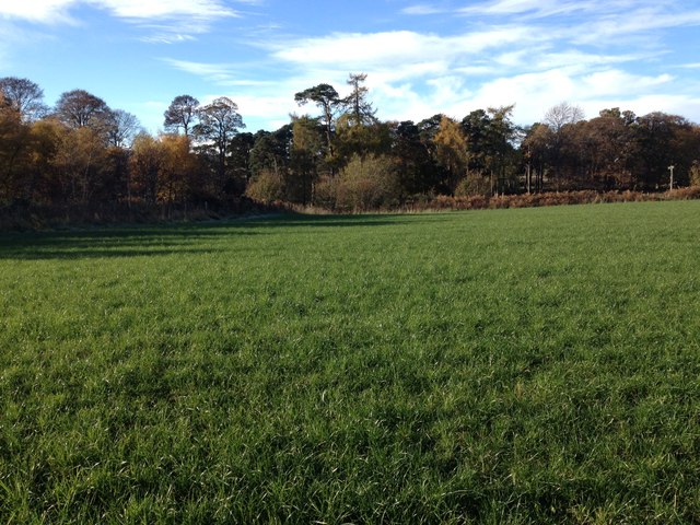
The woodland is predominantly composed of native tree species, including oak, birch, and pine. These majestic trees create a dense canopy, providing shade and shelter for a diverse range of flora and fauna. The forest floor is adorned with a vibrant carpet of wildflowers, such as bluebells and primroses, which bloom in spring and early summer.

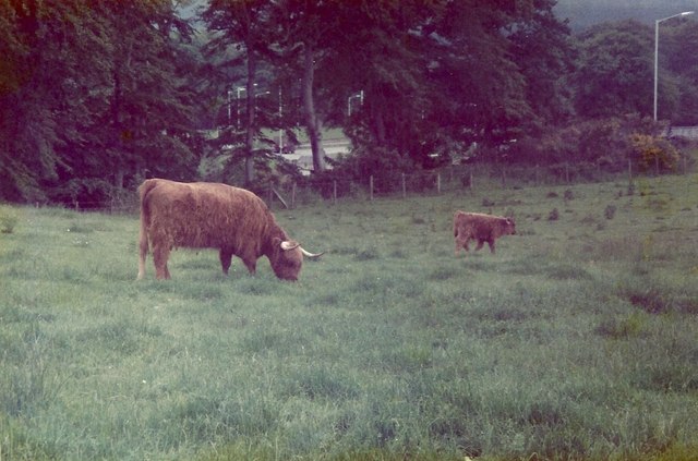
Balnacoul Wood is a haven for wildlife enthusiasts, as it supports a wide variety of animal species. Red squirrels can be spotted darting through the trees, while roe deer can be seen grazing in the clearings. The birdlife is also abundant, with species such as great spotted woodpeckers, buzzards, and tawny owls calling the wood their home.

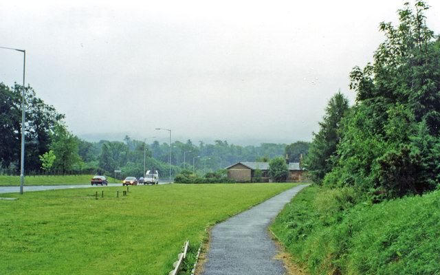
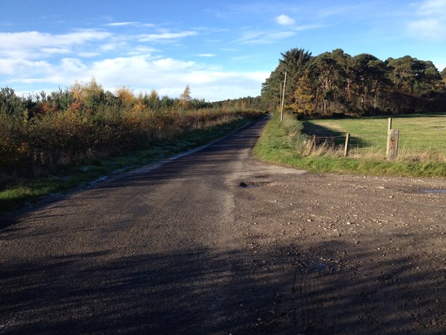
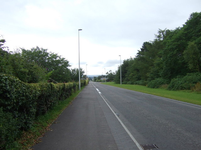
The wood is crisscrossed by a network of well-maintained walking trails, allowing visitors to explore its natural wonders. These trails offer opportunities for leisurely strolls, jogging, or even mountain biking. The tranquil atmosphere and breathtaking scenery make it a popular destination for nature lovers and outdoor enthusiasts alike.

Balnacoul Wood is managed by the local authorities to ensure its preservation and conservation. The wood serves as an important ecological site, contributing to the overall biodiversity of the region. It also offers a peaceful retreat for visitors, providing a much-needed respite from the hustle and bustle of everyday life.

If you have any feedback on the listing, please let us know in the comments section below.

Balnacoul Wood Images

Images are sourced within 2km of 57.615868/-3.1388864 or Grid Reference NJ3259. Thanks to Geograph Open Source API. All images are credited.

The Great Mosstodloch Traffic Jam As part of the construction of the new bypass for Fochabers and Mosstodloch, it has been necessary to reduce the A96 to single file traffic, and this is the result. Traffic queueing for almost a mile in Mosstodloch. They say it's only for a week, but how many more times is something similar going to happen? It's a splendid disincentive to going anywhere west of the River Spey! See also <a href="https://www.geograph.org.uk/photo/2404397">NJ3459 : The Great Spey Bridge Traffic Jam</a>.
The Great Mosstodloch Traffic Jam
As part of the construction of the new bypass for Fochabers and Mosstodloch, it has been necessary to reduce the A96 to single file traffic, and this is the result. Traffic queueing for almost a mile in Mosstodloch. They say it's only for a week, but how many more times is something similar going to happen? It's a splendid disincentive to going anywhere west of the River Spey! See also NJ3459 : The Great Spey Bridge Traffic Jam.
Approximate site of former Fochabers Town station, 1997 View eastward, on the A96 approaching the Spey Bridge. Fochabers Town station, the terminus of the ex-Highland Railway branch from Orbliston Junction, had been on the right: it was closed to passengers from 14/9/31 but the branch survived for goods until 28/3/66.
Approximate site of former Fochabers Town station, 1997
View eastward, on the A96 approaching the Spey Bridge. Fochabers Town station, the terminus of the ex-Highland Railway branch from Orbliston Junction, had been on the right: it was closed to passengers from 14/9/31 but the branch survived for goods until 28/3/66.
Farmland at Dipple This stubble field with round bales is on the southwest side of Dipple Farm.
Farmland at Dipple
This stubble field with round bales is on the southwest side of Dipple Farm.
Symbols of mortality at Dipple Cemetery This wall memorial on a roofless enclosure displays the classic symbols of mortality in the form of a mean looking death’s head skull, coffin, bone and deid bell.
Symbols of mortality at Dipple Cemetery
This wall memorial on a roofless enclosure displays the classic symbols of mortality in the form of a mean looking death’s head skull, coffin, bone and deid bell.
Dipple Cemetery This small graveyard is set back from a minor road in farmland on the south side of Dipple Farm.
Dipple Cemetery
This small graveyard is set back from a minor road in farmland on the south side of Dipple Farm.
Field of stubble Large Bales waiting to be taken in. In the background the A96 Trunk road can be seen. Taken from the B9015.
Field of stubble
Large Bales waiting to be taken in. In the background the A96 Trunk road can be seen. Taken from the B9015.
Minor road at Orbliston
Railway line at Orbliston
Road past Millhill Farm
Road junction near Dipple
Minor road near Orbliston
Minor road near Dipple
Farmland near Orbliston
Minor road near Orbliston
Ena Baxter's Heilan' Coos
Woodland beside the B9015, Mosstodloch
Heading east on the B9015, Mosstodloch Formerly the A96, now by-passed.
Heading east on the B9015, Mosstodloch
Formerly the A96, now by-passed.
War Memorial, Mosstodloch
Show me another place!

Balnacoul Wood is located at Grid Ref: NJ3259 (Lat: 57.615868, Lng: -3.1388864)

Unitary Authority: Moray

Police Authority: North East

What 3 Words

///prelude.fortified.dive. Near Fochabers, Moray

Related Wikis

Balnacoul Halt railway station

Balnacoul Halt railway station served the village of Mosstodloch, Moray, Scotland from 1893 to 1931 on the Inverness and Aberdeen Junction Railway. �...

Dipple, Moray

Dipple (Scottish Gaelic: Diopal) is a village in the Parish of Speymouth, in Moray, Scotland, approximately 8 miles (13 km) east of Elgin and is located...

Orbliston Junction railway station

Orbliston Junction railway station served the settlement of Orbliston, Moray, Scotland from 1858 to 1964 on the Inverness and Aberdeen Junction Railway...

Fochabers Town railway station

Fochabers Town railway station served the village of Fochabers, Moray, Scotland from 1893 to 1966 on the Inverness and Aberdeen Junction Railway. ��2...

Nearby Amenities

Located within 500m of 57.615868,-3.1388864
Power: pole
Lat/Long: 57.6152469/-3.1310477
Power: pole
Lat/Long: 57.6154735/-3.1321631
Power: pole
Lat/Long: 57.6157152/-3.1332902
The data included in this document is from www.openstreetmap.org. The data is made available under ODbL.

Have you been to Balnacoul Wood?

Leave your review of Balnacoul Wood below (or comments, questions and feedback).