Blackburn Strip
Wood, Forest in Midlothian
Scotland
Blackburn Strip
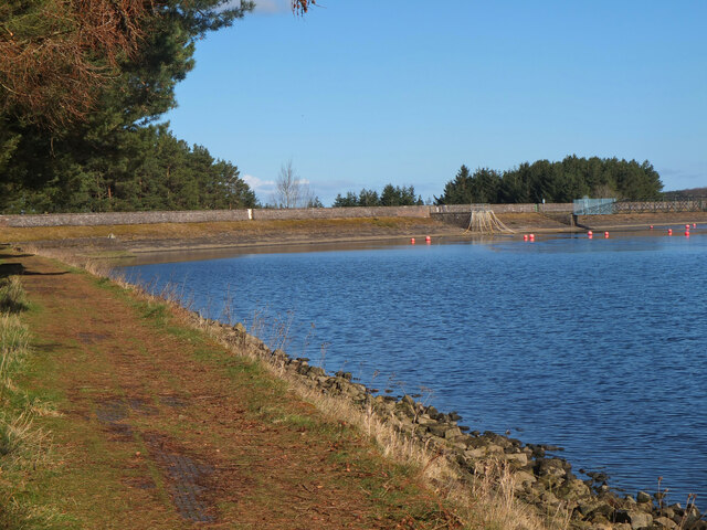
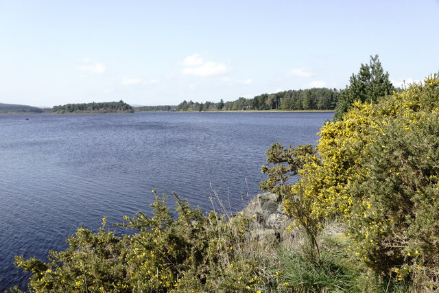
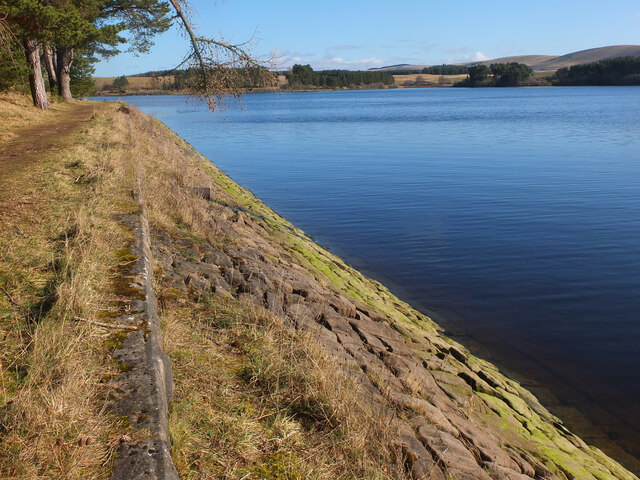
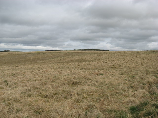
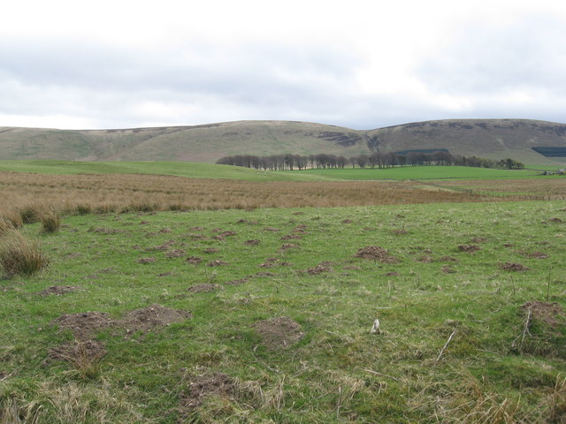
Blackburn Strip, located in Midlothian, Scotland, is a picturesque wood and forest area that spans across a vast expanse of land. The strip is known for its natural beauty and serene surroundings, making it a popular destination for nature enthusiasts and hikers.
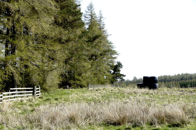
The wood and forest area of Blackburn Strip is characterized by its dense vegetation, consisting of a variety of trees, including oak, beech, and birch. The forest boasts a rich biodiversity, with numerous species of birds, mammals, and insects calling it their home. Visitors to Blackburn Strip can expect to encounter a diverse range of wildlife, including deer, foxes, and various bird species.
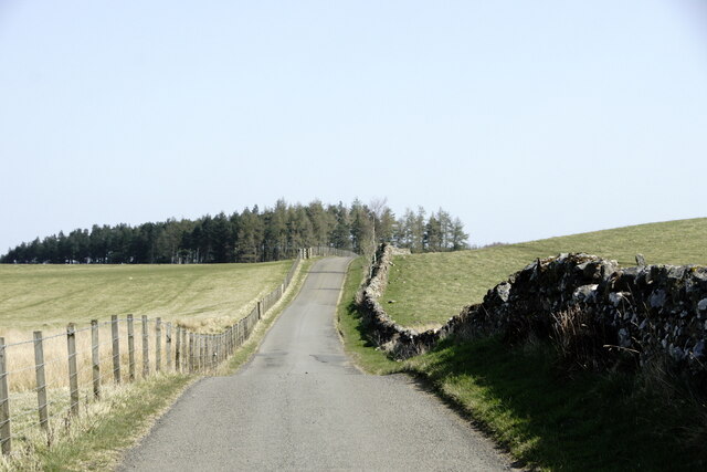
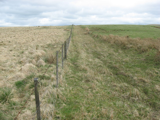
The woodlands of Blackburn Strip offer visitors a tranquil escape from the hustle and bustle of daily life. Walking trails wind through the forest, allowing visitors to explore the area at their own pace. The trails are well-maintained and provide opportunities for both leisurely walks and more adventurous hikes.
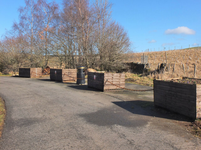
In addition to its natural beauty, Blackburn Strip also has historical significance. The area was once a site of coal mining, and remnants of this industrial past can still be seen today. Visitors can explore the old mine workings and learn about the area's mining heritage.
Overall, Blackburn Strip in Midlothian is a captivating wood and forest area that combines natural beauty, diverse wildlife, and historical significance. It is a place where visitors can immerse themselves in nature, enjoy peaceful walks, and learn about the area's rich history.
If you have any feedback on the listing, please let us know in the comments section below.
Blackburn Strip Images
Images are sourced within 2km of 55.781451/-3.0901566 or Grid Reference NT3154. Thanks to Geograph Open Source API. All images are credited.


![Weak bridge at Gladhouse Carrying the road over the outflow from the reservoir. We really should get our units correct - mg = milligram [not a very great weight], not sure about &#039;w&#039;; does mgw stand for maximum gross weight? As an update, &#039;T&#039; does stand for tonne [but it should be lower case], and mgw is &#039;maximum gross weight&#039; [2007 Highway Code, p.107].](https://s0.geograph.org.uk/geophotos/02/39/75/2397576_610a3309.jpg)
Blackburn Strip is located at Grid Ref: NT3154 (Lat: 55.781451, Lng: -3.0901566)
Unitary Authority: Midlothian
Police Authority: The Lothians and Scottish Borders
What 3 Words
///kennels.chemistry.absorbing. Near Gorebridge, Midlothian
Nearby Locations
Related Wikis

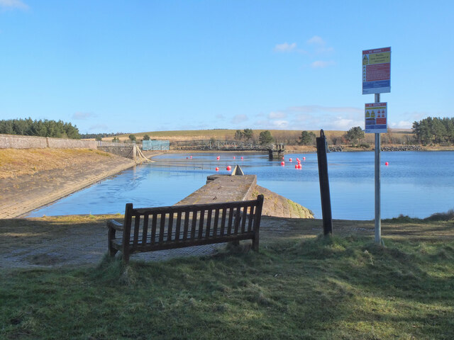
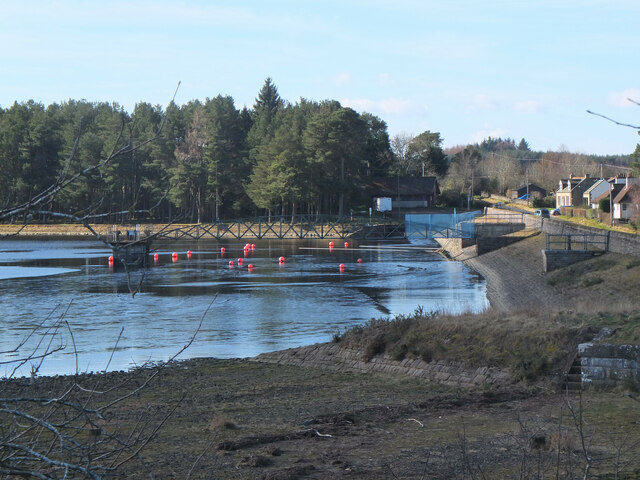
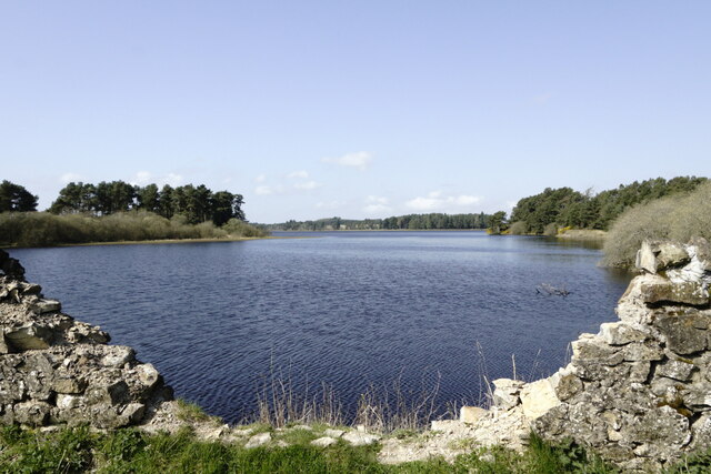
Gladhouse Reservoir
Gladhouse Reservoir, formerly known as Moorfoot Loch, is a reservoir in Midlothian, Scotland, five miles (8 km) south of Penicuik. It is the most southerly...

Edgelaw Reservoir
Edgelaw Reservoir is an artificial reservoir in Midlothian, Scotland, UK, four miles west of Temple. It was created in 1880 by James Leslie and his son...

Temple, Midlothian
Temple (Scottish Gaelic: Baile nan Trodach) is a village and civil parish in Midlothian, Scotland. Situated to the south of Edinburgh, the village lies...

Midlothian (UK Parliament constituency)
Midlothian in Scotland is a county constituency of the House of Commons of the Parliament of the United Kingdom. It elects one Member of Parliament (MP...

Arniston House
Arniston House is a historic house in Midlothian, Scotland, near the village of Temple. This Georgian mansion was designed by William Adam in 1726 for...
Garvald, Scottish Borders
Garvald (Scots: Garvit) is a hamlet on the B7007, near Dewar, by the Dewar Burn, in the Moorfoot Hills, in the Scottish Borders area of Scotland, in the...

Carcant
Carcant is a small settlement and a wind farm, near Heriot in the Scottish Borders area of Scotland. A famous inhabitant of Carcant was Eric Liddell....

Moorfoot Hills
The Moorfoot Hills are a range of hills south of Edinburgh in east central Scotland, one of the ranges which collectively form the Southern Uplands....
Have you been to Blackburn Strip?
Leave your review of Blackburn Strip below (or comments, questions and feedback).