Annigill Wood
Wood, Forest in Dumfriesshire
Scotland
Annigill Wood
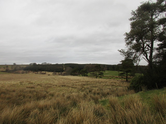
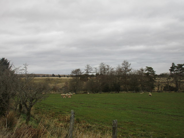
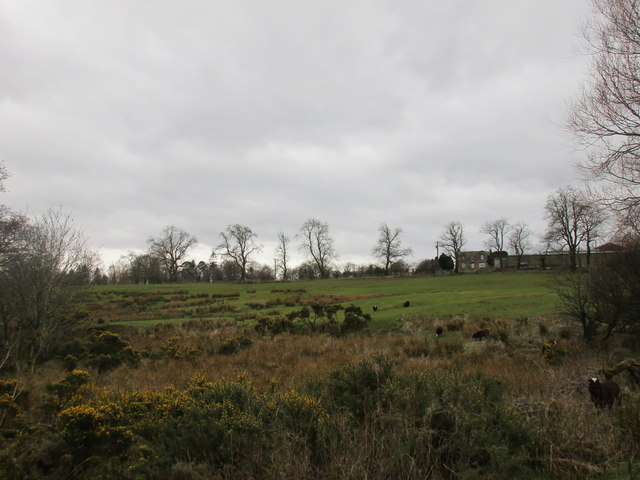
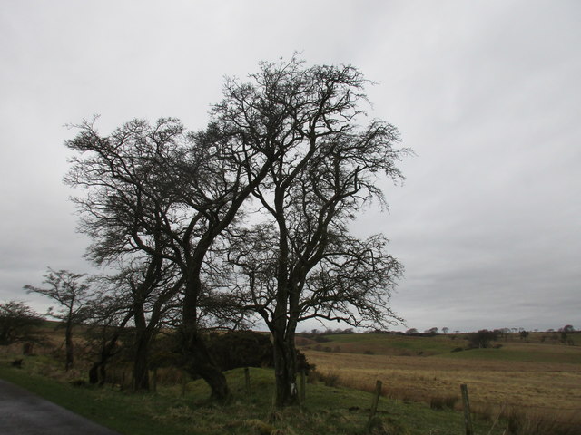
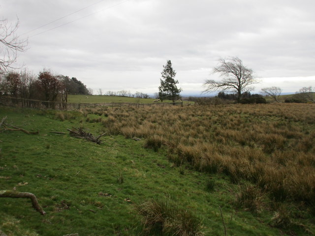
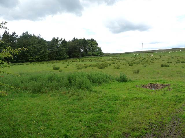
Annigill Wood is a picturesque forest located in Dumfriesshire, Scotland. Covering an area of approximately 200 hectares, the wood is situated in the heart of the stunning countryside, surrounded by rolling hills and breathtaking landscapes.
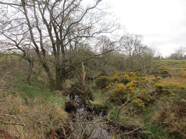
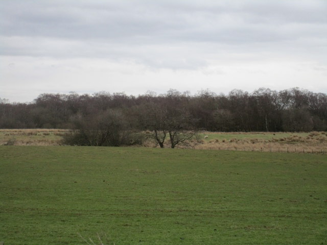
The forest is primarily composed of native broadleaf trees, including oak, birch, and ash, which create a diverse and rich habitat for a wide variety of wildlife. The dense vegetation and ample food sources attract a range of bird species, such as woodpeckers, jays, and thrushes, making it a haven for birdwatchers and nature enthusiasts.
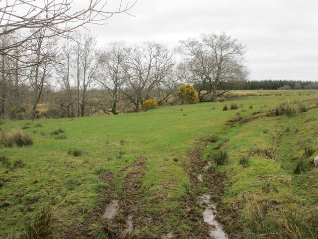
Visitors to Annigill Wood can explore a network of well-maintained trails that wind through the forest, offering opportunities for leisurely walks, hikes, and even cycling. The paths are suitable for all ages and fitness levels, making it an ideal destination for families and individuals looking to immerse themselves in nature.
The wood is also home to a number of historic sites, including the ruins of an ancient castle and a prehistoric burial ground. These remnants of the past add an intriguing element to the forest, allowing visitors to delve into the region's rich history.
For those seeking a tranquil escape from the hustle and bustle of everyday life, Annigill Wood provides a serene and peaceful environment. The soothing sounds of birdsong and the rustling of leaves create a calming atmosphere, perfect for relaxation and mindfulness.
Overall, Annigill Wood is a captivating forest that offers a delightful combination of natural beauty, wildlife, and historical significance. It is a place where visitors can reconnect with nature, explore the region's past, and experience the tranquility of the Scottish countryside.
If you have any feedback on the listing, please let us know in the comments section below.
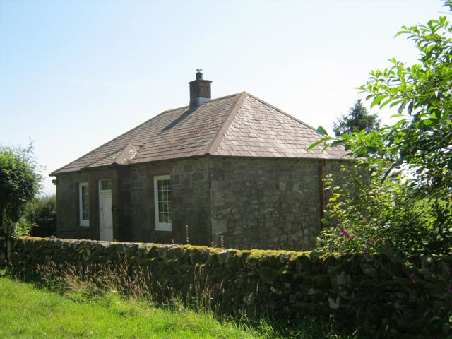
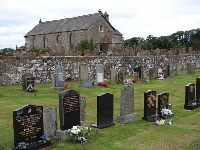
Annigill Wood Images
Images are sourced within 2km of 55.08081/-3.0876656 or Grid Reference NY3076. Thanks to Geograph Open Source API. All images are credited.


Annigill Wood is located at Grid Ref: NY3076 (Lat: 55.08081, Lng: -3.0876656)
Unitary Authority: Dumfries and Galloway
Police Authority: Dumfries and Galloway
What 3 Words
///suits.voice.late. Near Langholm, Dumfries & Galloway
Nearby Locations
Related Wikis

Timpanheck
Timpanheck is a village in Annandale, Scottish Borders. == External links == Timpanheck in The Gazetteer for Scotland Geograph.org.uk
Glenzier
Glenzier (; see yogh for the unintuitive spelling) is a rural area in Dumfries and Galloway, Scotland. == See also == Scots dike and the Glenzier burn...
Kirkpatrick-Fleming
Kirkpatrick-Fleming (Scottish Gaelic: Cill Phàdraig) is a village and civil parish in Dumfries and Galloway, south-west Scotland. It is located between...

Kirkpatrick railway station
Kirkpatrick railway station was a station which served the rural area around Kirkpatrick Fleming, north of Gretna in the Scottish county of Dumfries and...
Have you been to Annigill Wood?
Leave your review of Annigill Wood below (or comments, questions and feedback).