Burnside Plantation
Wood, Forest in Angus
Scotland
Burnside Plantation
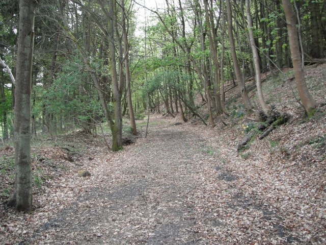
Burnside Plantation, located in Angus, Scotland, is a beautiful woodland forest known for its rich history and breathtaking natural scenery. Spanning approximately 200 acres, the plantation is nestled amidst rolling hills and serene landscapes, making it a popular destination for nature enthusiasts and history buffs alike.
The plantation is renowned for its diverse range of tree species, including oak, beech, and ash, which create a stunning canopy of foliage throughout the year. The woodland is carefully managed to preserve its ecological balance and promote biodiversity, with various native plant and animal species thriving within its boundaries.
In addition to its natural beauty, Burnside Plantation holds great historical significance. It is believed to have been established in the 18th century, making it a witness to centuries of human activity. The remnants of old structures, such as stone walls and abandoned farm buildings, provide a glimpse into the area's agricultural past.
Visitors to Burnside Plantation can explore the numerous walking trails that wind through the forest, offering stunning views of the surrounding countryside. Interpretive signs along the paths provide information about the flora, fauna, and history of the area, enhancing the visitor experience.
The plantation is also a haven for wildlife, with various species of birds, mammals, and insects calling it home. Birdwatchers can spot species such as woodpeckers, owls, and finches. Additionally, deer and other mammals can often be spotted grazing in the open meadows.
Overall, Burnside Plantation is a captivating destination that seamlessly combines natural beauty and historical significance. It offers visitors a chance to immerse themselves in nature, discover the area's past, and create lasting memories in this enchanting woodland forest.
If you have any feedback on the listing, please let us know in the comments section below.
Burnside Plantation Images
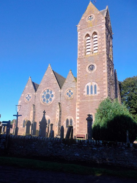
Images are sourced within 2km of 56.544129/-3.1314339 or Grid Reference NO3039. Thanks to Geograph Open Source API. All images are credited.


Burnside Plantation is located at Grid Ref: NO3039 (Lat: 56.544129, Lng: -3.1314339)
Unitary Authority: Angus
Police Authority: Tayside
What 3 Words
///attic.projects.blink. Near Muirhead, Angus
Nearby Locations
Related Wikis

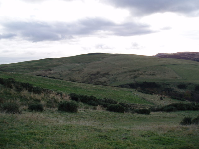
Newtyle Hill
Newtyle Hill is a mountainous landform in the Sidlaw Hills in Angus, Scotland The vicinity has elements of prehistory including presence of the Eassie...
Balcraig Castle
Balcraig Castle was built on lands given to the Oliphants by King Robert the Bruce circa 1317. == Location == Balcraig Castle stood on the western flank...

Hatton Hill
Hatton Hill is a mountain landform in Angus, Scotland in the Sidlaw Hills. Hatton Castle stands on the flanks of Hatton Hill above the village of Newtyle...

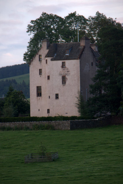
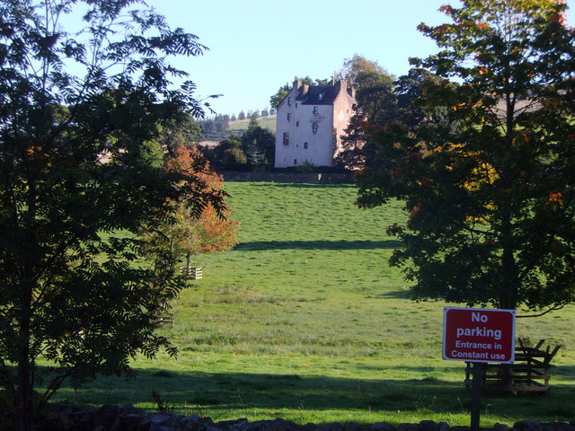
Hatton Castle, Angus
Hatton Castle stands on the lower part of Hatton Hill, the most easterly of the Sidlaw Hills, to the south of Newtyle in Angus, Scotland. The castle overlooks...
Nearby Amenities
Located within 500m of 56.544129,-3.1314339Have you been to Burnside Plantation?
Leave your review of Burnside Plantation below (or comments, questions and feedback).