Ducks Pond Strip

Wood, Forest in Midlothian

Scotland

Ducks Pond Strip

Bridge at Carrington Mill Bridge on old path from Carrington Mill to Temple
<span class="nowrap"><a title="https://www.wikidata.org/wiki/Q56606505" rel="nofollow ugc noopener" href="https://www.wikidata.org/wiki/Q56606505">Link</a><img style="margin-left:2px;" alt="External link" title="External link - shift click to open in new window" src="https://s1.geograph.org.uk/img/external.png" width="10" height="10"/></span>
Bridge at Carrington Mill Credit: mountainmonkey

Ducks Pond Strip is a charming woodland located in Midlothian, a county in southeast Scotland. Situated in the area known as Wood, Forest, this picturesque strip of land offers a tranquil retreat for nature enthusiasts and outdoor lovers alike.

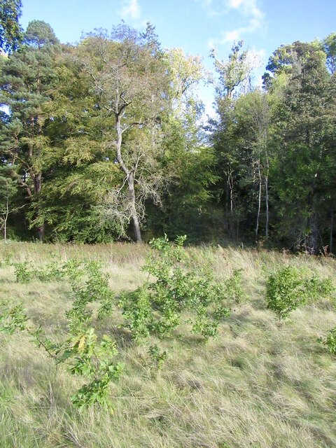
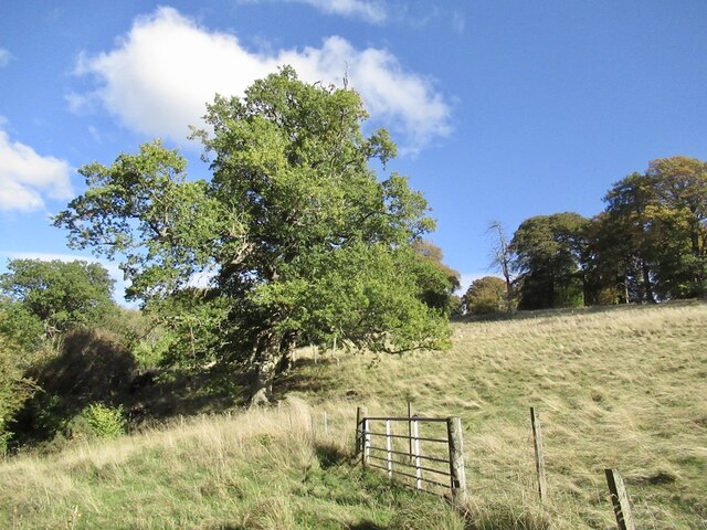
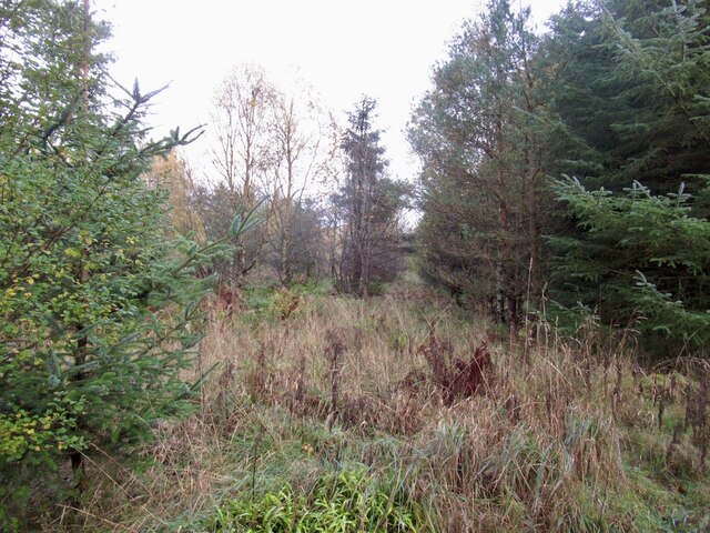
Covering an area of approximately 20 acres, Ducks Pond Strip is characterized by its dense forest of tall, mature trees, creating a serene and peaceful atmosphere. The woodland is home to a variety of tree species, including oak, birch, and beech, which provide a diverse and vibrant canopy overhead.

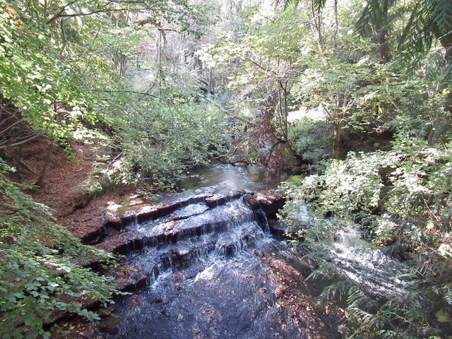
The highlight of Ducks Pond Strip is, as the name suggests, the presence of a beautiful pond. The pond serves as a natural habitat for various aquatic creatures, including ducks, which can often be seen gracefully gliding across the water's surface. The pond also attracts a plethora of bird species, making it a haven for birdwatchers keen on spotting local and migratory birds.

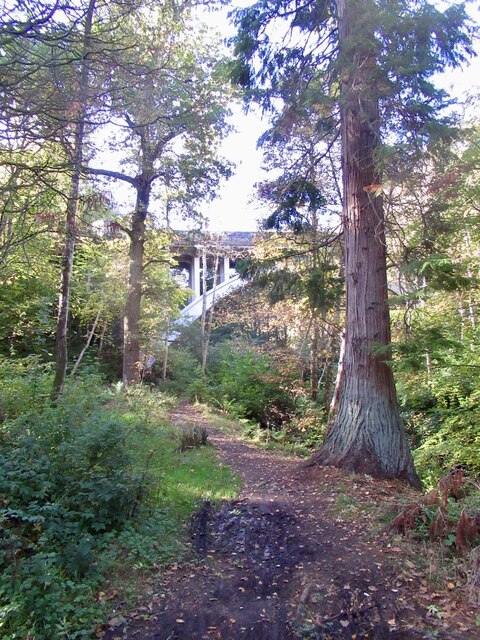
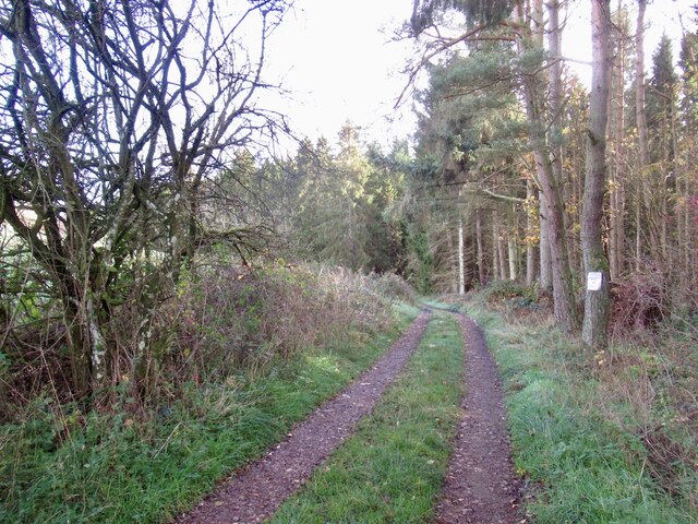
Visitors to Ducks Pond Strip can explore the forest through a network of well-maintained walking trails. These trails wind through the woodland, offering opportunities for leisurely strolls, jogging, or even more adventurous hikes. The peaceful ambiance of the woodland and the gentle sounds of nature make it an ideal spot for relaxation and meditation.

Ducks Pond Strip is a popular destination for families, nature photographers, and those seeking respite from the hustle and bustle of urban life. With its natural beauty, diverse wildlife, and tranquil setting, it is no wonder that Ducks Pond Strip is a favorite among locals and visitors alike.

If you have any feedback on the listing, please let us know in the comments section below.

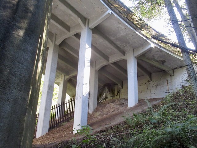
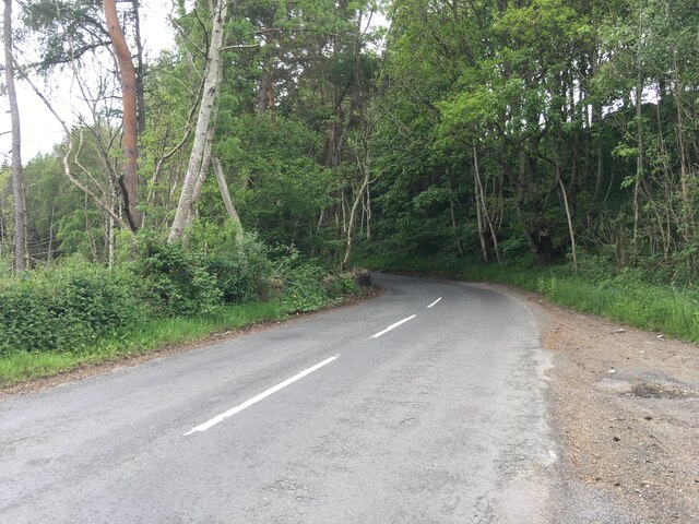
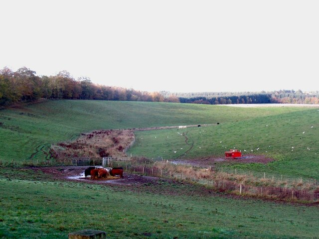
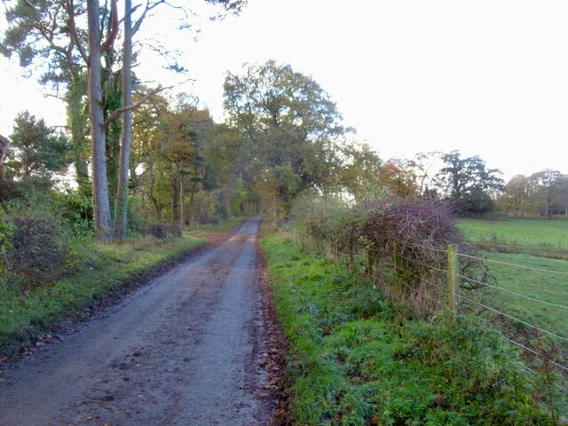
Ducks Pond Strip Images

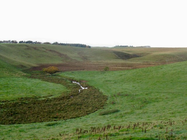
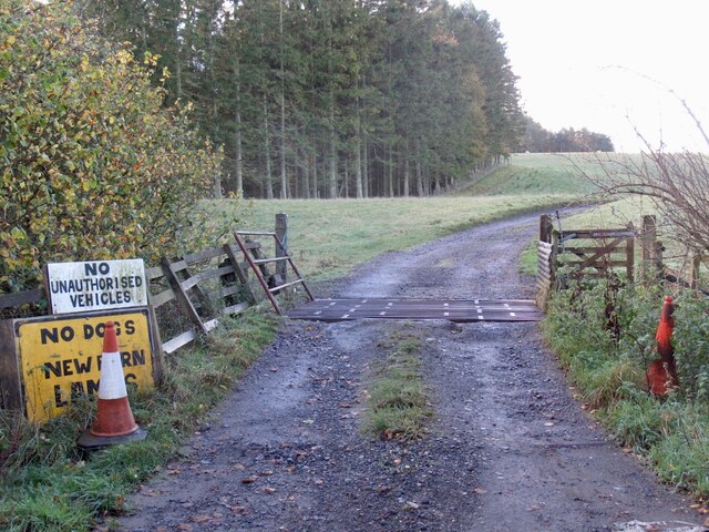
Images are sourced within 2km of 55.824581/-3.113327 or Grid Reference NT3059. Thanks to Geograph Open Source API. All images are credited.

Bridge at Carrington Mill Bridge on old path from Carrington Mill to Temple
<span class="nowrap"><a title="https://www.wikidata.org/wiki/Q56606505" rel="nofollow ugc noopener" href="https://www.wikidata.org/wiki/Q56606505">Link</a><img style="margin-left:2px;" alt="External link" title="External link - shift click to open in new window" src="https://s1.geograph.org.uk/img/external.png" width="10" height="10"/></span>
Bridge at Carrington Mill
Bridge on old path from Carrington Mill to Temple LinkExternal link
Young oak trees, Arniston A field which has not been grazed for a while. There is a nearby mature oak.
Young oak trees, Arniston
A field which has not been grazed for a while. There is a nearby mature oak.
Field, Arniston
Field, Arniston
Woodland, Arniston Estate There are some big trees here including this redwood.
Woodland, Arniston Estate
There are some big trees here including this redwood.
Woodland, Arniston Beside the South Esk. Home of some big trees.
Woodland, Arniston
Beside the South Esk. Home of some big trees.
River South Esk Downstream of Temple.
River South Esk
Downstream of Temple.
Braidwood Bridge Crossing the South Esk near Temple.
Braidwood Bridge
Crossing the South Esk near Temple.
Braidwood Bridge
Braidwood Bridge
Autumn at Arniston Under the canopy of a giant Beech tree, with a carpet of Beech leaves and looking towards one of the magnificent big conifers on the Arniston estate near Gorebridge.
Autumn at Arniston
Under the canopy of a giant Beech tree, with a carpet of Beech leaves and looking towards one of the magnificent big conifers on the Arniston estate near Gorebridge.
B6372 near Braidwood Bridge
Cattle, Shiel Burn
Cattle, Shiel Burn
Road to Edgelaw
Road to Edgelaw
Limestone scenery, Edgelaw
Road to Cauldhall and Fullarton Taken at the end of the public road near Edgelaw Reservoir.
Road to Cauldhall and Fullarton
Taken at the end of the public road near Edgelaw Reservoir.
Road to the head of Edgelaw Reservoir
Bridge over the Fullarton Burn At the head of Edgelaw Reservoir
Bridge over the Fullarton Burn
At the head of Edgelaw Reservoir
Road, Whinny Plantation Out to Rosebery from the Edgelaw Reservoir.
Road, Whinny Plantation
Out to Rosebery from the Edgelaw Reservoir.
Whinny Plantation, Rosebery
Show me another place!

Ducks Pond Strip is located at Grid Ref: NT3059 (Lat: 55.824581, Lng: -3.113327)

Unitary Authority: Midlothian

Police Authority: The Lothians and Scottish Borders

What 3 Words

///salutes.baked.haircuts. Near Rosewell, Midlothian

Related Wikis

Midlothian (UK Parliament constituency)

Midlothian in Scotland is a county constituency of the House of Commons of the Parliament of the United Kingdom. It elects one Member of Parliament (MP...

Edgelaw Reservoir

Edgelaw Reservoir is an artificial reservoir in Midlothian, Scotland, UK, four miles west of Temple. It was created in 1880 by James Leslie and his son...

Temple, Midlothian

Temple (Scottish Gaelic: Baile nan Trodach) is a village and civil parish in Midlothian, Scotland. Situated to the south of Edinburgh, the village lies...

Carrington, Midlothian

Carrington is a small, rural village in Midlothian, Scotland. It is located to the south of Bonnyrigg. The civil parish of the same name has a population...

Nearby Amenities

Located within 500m of 55.824581,-3.113327
Material: wood
Power: pole
Lat/Long: 55.8232401/-3.1064542
Material: wood
Power: pole
Lat/Long: 55.8239618/-3.1068512
Material: wood
Power: pole
Lat/Long: 55.8246745/-3.1072535
Material: wood
Power: pole
Lat/Long: 55.8251129/-3.1069531
Material: wood
Power: pole
Lat/Long: 55.825696/-3.1071704
Material: wood
Power: pole
Lat/Long: 55.8262459/-3.1077336
Material: wood
Power: pole
Lat/Long: 55.8267235/-3.1078141
Material: wood
Power: pole
Lat/Long: 55.827754/-3.1079509
Redside
Place: locality
Lat/Long: 55.8230653/-3.1090223
Power: pole
Lat/Long: 55.8225411/-3.107104
Power: pole
Lat/Long: 55.8225868/-3.1085189
The data included in this document is from www.openstreetmap.org. The data is made available under ODbL.

Have you been to Ducks Pond Strip?

Leave your review of Ducks Pond Strip below (or comments, questions and feedback).