Approach Wood

Wood, Forest in Fife

Scotland

Approach Wood

Field near Windmill Cottage
Field near Windmill Cottage Credit: Mark Anderson

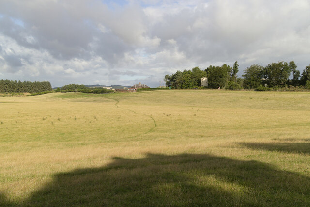
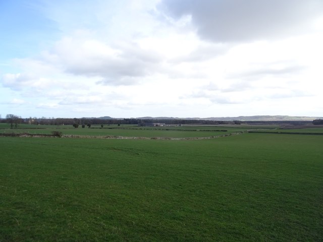
Approach Wood, located in Fife, Scotland, is a beautiful forested area known for its scenic beauty and tranquil atmosphere. Covering an area of approximately 50 acres, this wood is a popular destination for nature lovers and outdoor enthusiasts.

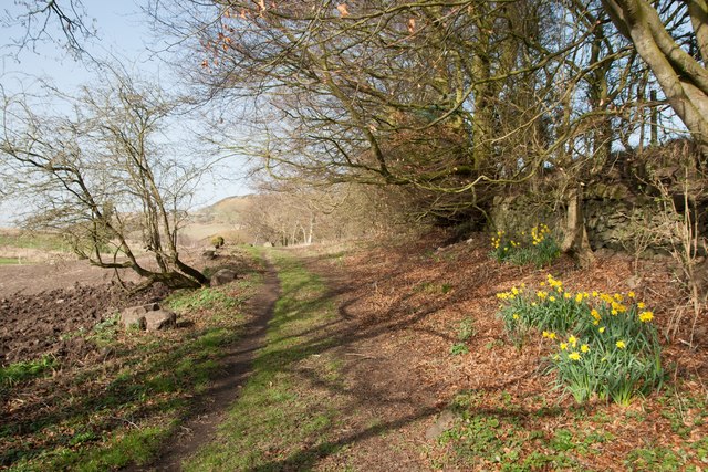
The wood is characterized by its diverse range of tree species, including oak, beech, birch, and pine, which create a rich and vibrant canopy. The dense vegetation provides a habitat for a variety of wildlife, such as deer, squirrels, and numerous bird species, making it a haven for nature enthusiasts and birdwatchers.

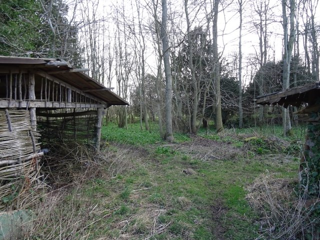
Numerous walking trails wind through the wood, allowing visitors to explore its natural beauty. The trails vary in difficulty, catering to both casual walkers and more experienced hikers. Along the paths, visitors can enjoy the peaceful surroundings, listen to the soothing sounds of birdsong, and immerse themselves in the tranquility of the forest.

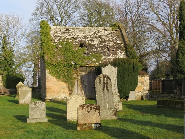
Approach Wood is also known for its historical significance. It is believed that the wood has been a site of human activity for thousands of years, with evidence of prehistoric settlements and ancient burial grounds found in the area. The wood has a mystical aura, with tales of folklore and legends associated with it.

The wood is easily accessible, with parking facilities available nearby. It attracts visitors throughout the year, with each season offering a unique experience. In spring, the wood comes alive with vibrant colors as flowers bloom and leaves unfurl. In autumn, the wood transforms into a picturesque landscape, with the foliage turning into shades of red, orange, and gold.

Overall, Approach Wood in Fife is a captivating destination that combines natural beauty, wildlife, and history, providing visitors with a serene and immersive experience in the heart of nature.

If you have any feedback on the listing, please let us know in the comments section below.

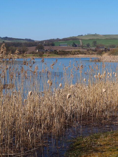
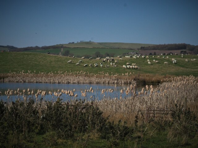
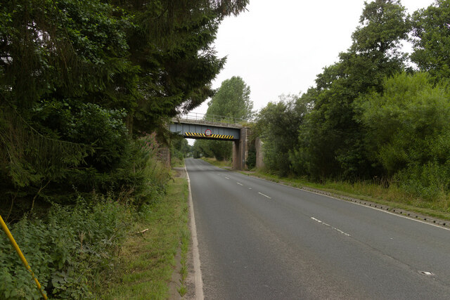
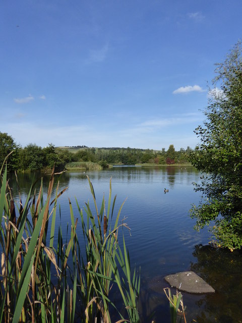
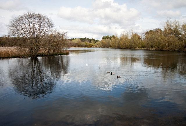
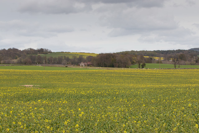
Approach Wood Images

Images are sourced within 2km of 56.304986/-3.1290731 or Grid Reference NO3013. Thanks to Geograph Open Source API. All images are credited.

Field near Windmill Cottage
Small loch on site of disused Fife quarry A series of small lochs have been created on the site of Mountcastle sand and gravel quarry. Now a haven for birds, with lochans to the SW of the site in the process of being turned into Eden Springs Fishery (planning permission under appeal). This loch is closest to existing Letham Ponds - view towards Monimail.
Small loch on site of disused Fife quarry
A series of small lochs have been created on the site of Mountcastle sand and gravel quarry. Now a haven for birds, with lochans to the SW of the site in the process of being turned into Eden Springs Fishery (planning permission under appeal). This loch is closest to existing Letham Ponds - view towards Monimail.
Loch on site of disused quarry surrounded by farmland Eastern edge of one of several small lochs created on the site of Mountcastle quarry, near Letham, perfect for reed bunting and water birds.
Loch on site of disused quarry surrounded by farmland
Eastern edge of one of several small lochs created on the site of Mountcastle quarry, near Letham, perfect for reed bunting and water birds.
Railway bridge over the A91
Crested porcupines at Fife Zoo The small zoo off the B937 is affordable to visit and ideal for younger children.
Crested porcupines at Fife Zoo
The small zoo off the B937 is affordable to visit and ideal for younger children.
Ring-tailed lemurs, Fife Zoo This is a 'walk through' enclosure to get close to these intriguing primates, who seem indifferent to humans.    They are judged to be 'endangered' in the wild due to habitat destruction.
Ring-tailed lemurs, Fife Zoo
This is a 'walk through' enclosure to get close to these intriguing primates, who seem indifferent to humans. They are judged to be 'endangered' in the wild due to habitat destruction.
Birnie Loch One of two small lochs making up the Birnie and Gaddon Nature Reserve
Birnie Loch
One of two small lochs making up the Birnie and Gaddon Nature Reserve
View over Birnie Loch Birnie Loch, a flooded gravel pit, now a nature reserve near Collessie in Fife.
View over Birnie Loch
Birnie Loch, a flooded gravel pit, now a nature reserve near Collessie in Fife.
Farmland near Collessie Acres of oil seed rape under cultivation near Collessie in Fife - not quite in flower on May Day 2016.
Farmland near Collessie
Acres of oil seed rape under cultivation near Collessie in Fife - not quite in flower on May Day 2016.
Feeding the swans At Birnie Loch in Fife these mute swans (Cygnus olor) are last year's cygnets not yet in full adult colour <span class="nowrap"><a title="https://en.wikipedia.org/wiki/Birnie_Loch" rel="nofollow ugc noopener" href="https://en.wikipedia.org/wiki/Birnie_Loch">Link</a><img style="margin-left:2px;" alt="External link" title="External link - shift click to open in new window" src="https://s1.geograph.org.uk/img/external.png" width="10" height="10"/></span>
Feeding the swans
At Birnie Loch in Fife these mute swans (Cygnus olor) are last year's cygnets not yet in full adult colour LinkExternal link
Pig sty at Angle Park pond
Benchmark on Collessie Parish Church Ordnance Survey benchmark, described on database at <span class="nowrap"><a title="https://www.bench-marks.org.uk/bm105835" rel="nofollow ugc noopener" href="https://www.bench-marks.org.uk/bm105835">Link</a><img style="margin-left:2px;" alt="External link" title="External link - shift click to open in new window" src="https://s1.geograph.org.uk/img/external.png" width="10" height="10"/></span>. See also <a title="https://www.geograph.org.uk/photo/6096762" href="https://www.geograph.org.uk/photo/6096762">Link</a>.
Benchmark on Collessie Parish Church
Ordnance Survey benchmark, described on database at LinkExternal link. See also Link.
Collessie Parish Church
Collessie Den in early spring
Woodland, Monimail A roadside strip behind Melville House.
Woodland, Monimail
A roadside strip behind Melville House.
Melville Home Farm
Melville Home Farm
Monimail Old Cemetery, Fife
Benchmark on Monimail Manse Ordnance Survey benchmark, described on database at <span class="nowrap"><a title="https://www.bench-marks.org.uk/bm105027" rel="nofollow ugc noopener" href="https://www.bench-marks.org.uk/bm105027">Link</a><img style="margin-left:2px;" alt="External link" title="External link - shift click to open in new window" src="https://s1.geograph.org.uk/img/external.png" width="10" height="10"/></span>.
Benchmark on Monimail Manse
Ordnance Survey benchmark, described on database at LinkExternal link.
Show me another place!

Approach Wood is located at Grid Ref: NO3013 (Lat: 56.304986, Lng: -3.1290731)

Unitary Authority: Fife

Police Authority: Fife

What 3 Words

///swim.feasting.contour. Near Ladybank, Fife

Nearby Locations

Approach Wood

Related Wikis

Melville House

Melville House is a 1697 house that lies to the south side of the Palace of Monimail near Collessie in Fife, Scotland. It has been a school and a training...

Palace of Monimail

The Palace of Monimail, also known as Monimail Tower, was a Renaissance palace in Fife, Scotland. A residence of the Archbishops of St Andrews from the...

Letham, Fife

Letham is a small village in Fife, Scotland, located just off the A92, around 5 miles from Cupar. According to the 2001 Census, Letham has 138 residents...

Collessie

Collessie is a village and parish of Fife, Scotland. The village is set on a small hillock centred on a historic church. Due to rerouting of roads, it...

Nearby Amenities

Located within 500m of 56.304986,-3.1290731
Power: pole
Lat/Long: 56.3073639/-3.1351818
Power: pole
Lat/Long: 56.3068154/-3.1343214
Power: pole
Lat/Long: 56.3062681/-3.1334962
Power: pole
Lat/Long: 56.3057735/-3.1327391
Power: pole
Lat/Long: 56.305326/-3.1320607
Power: pole
Lat/Long: 56.3047122/-3.1311238
Power: pole
Lat/Long: 56.3043978/-3.1318187
Power: pole
Lat/Long: 56.3040948/-3.1324703
Power: pole
Lat/Long: 56.300941/-3.1285988
Power: pole
Lat/Long: 56.3010412/-3.12901
Power: pole
Lat/Long: 56.3013221/-3.129243
Power: pole
Lat/Long: 56.3020649/-3.1298664
Power: pole
Lat/Long: 56.3027664/-3.1304461
Power: pole
Lat/Long: 56.3034193/-3.1309995
Power: pole
Lat/Long: 56.3039624/-3.1314381
The data included in this document is from www.openstreetmap.org. The data is made available under ODbL.

Have you been to Approach Wood?

Leave your review of Approach Wood below (or comments, questions and feedback).