Gladhouse Plantation
Wood, Forest in Midlothian
Scotland
Gladhouse Plantation
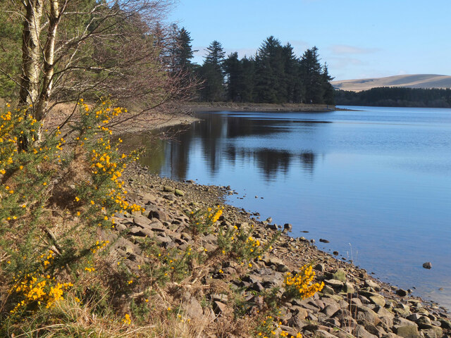
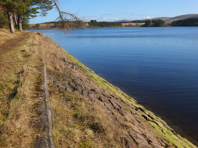
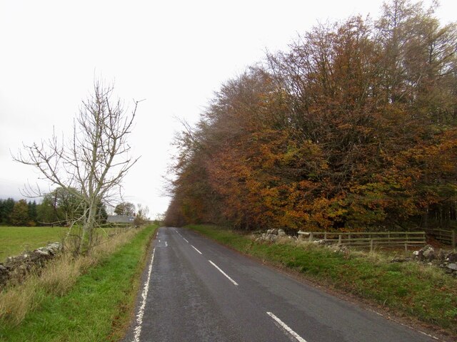
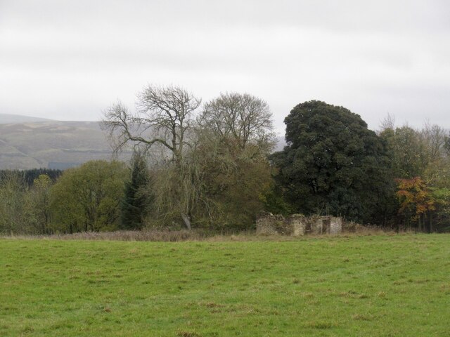
Gladhouse Plantation is a scenic woodland located in Midlothian, Scotland. Situated near the village of Temple, it covers an extensive area of approximately 1,200 hectares. The plantation is part of the larger Gladhouse Reservoir site and is managed by Forestry and Land Scotland.
The woodland boasts a diverse range of tree species, including Scots pine, Sitka spruce, and European larch. These trees provide a rich habitat for a variety of wildlife, making Gladhouse Plantation an ideal spot for nature enthusiasts and birdwatchers. Visitors may come across species such as red squirrels, roe deer, and a plethora of bird species, including woodpeckers and owls.
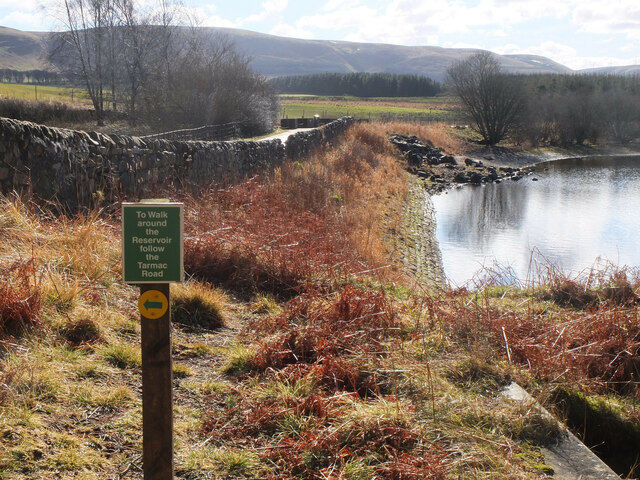
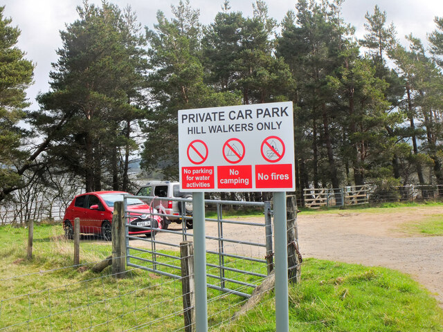
Gladhouse Plantation is intersected by several walking trails, offering stunning views of the surrounding countryside. The routes are well-marked and cater to different levels of difficulty, accommodating both casual strollers and more experienced hikers. Along the paths, walkers can appreciate the tranquil atmosphere and immerse themselves in the natural beauty of the woodlands.
The plantation also serves as a recreational area, with facilities for mountain biking and horse riding. Cyclists can explore the network of forest roads and trails while horse riders can enjoy designated equestrian routes. These activities provide opportunities for outdoor enthusiasts to experience the plantation from a different perspective.
Overall, Gladhouse Plantation is a picturesque woodland retreat, offering a range of activities and an abundance of wildlife. Whether one seeks a peaceful walk, a thrilling bike ride, or a chance to reconnect with nature, this plantation in Midlothian provides a captivating experience for all.
If you have any feedback on the listing, please let us know in the comments section below.
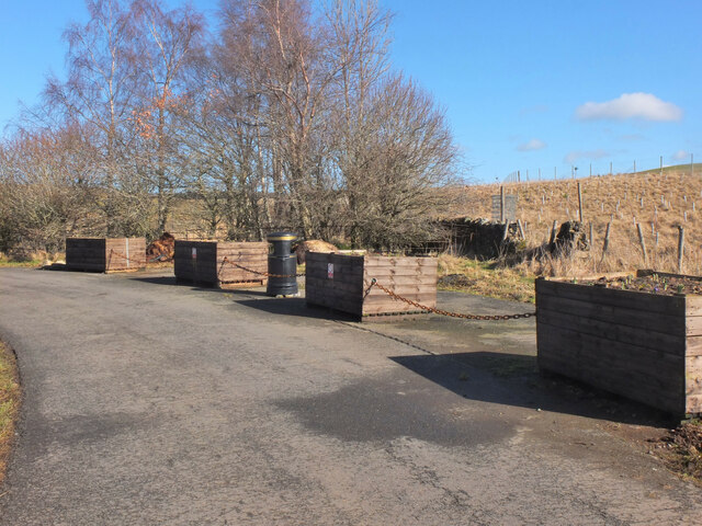
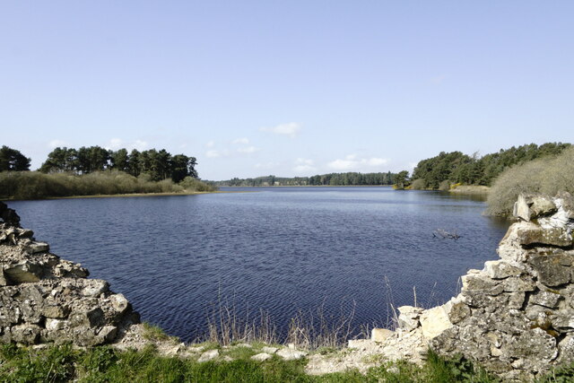
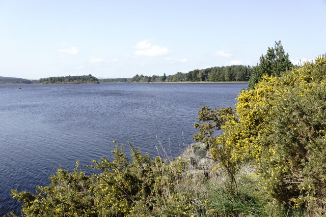
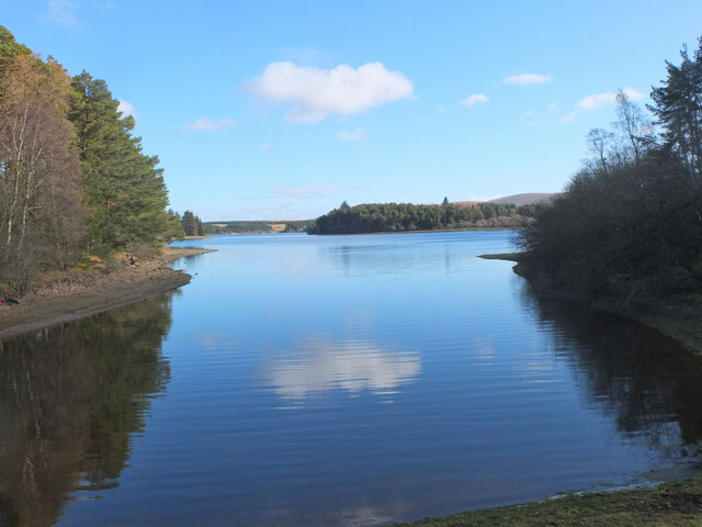
Gladhouse Plantation Images
Images are sourced within 2km of 55.775177/-3.1321005 or Grid Reference NT2954. Thanks to Geograph Open Source API. All images are credited.


Gladhouse Plantation is located at Grid Ref: NT2954 (Lat: 55.775177, Lng: -3.1321005)
Unitary Authority: Midlothian
Police Authority: The Lothians and Scottish Borders
What 3 Words
///grudging.bends.chins. Near Rosewell, Midlothian
Nearby Locations
Related Wikis

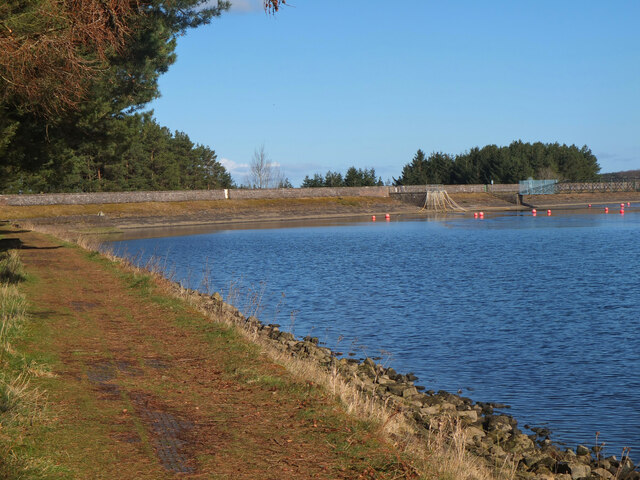
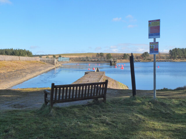
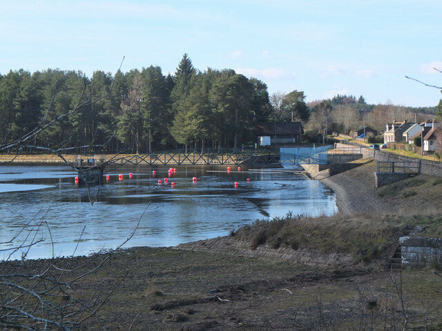
Gladhouse Reservoir
Gladhouse Reservoir, formerly known as Moorfoot Loch, is a reservoir in Midlothian, Scotland, five miles (8 km) south of Penicuik. It is the most southerly...

Edgelaw Reservoir
Edgelaw Reservoir is an artificial reservoir in Midlothian, Scotland, UK, four miles west of Temple. It was created in 1880 by James Leslie and his son...

Temple, Midlothian
Temple (Scottish Gaelic: Baile nan Trodach) is a village and civil parish in Midlothian, Scotland. Situated to the south of Edinburgh, the village lies...

Midlothian (UK Parliament constituency)
Midlothian in Scotland is a county constituency of the House of Commons of the Parliament of the United Kingdom. It elects one Member of Parliament (MP...
Nearby Amenities
Located within 500m of 55.775177,-3.1321005Have you been to Gladhouse Plantation?
Leave your review of Gladhouse Plantation below (or comments, questions and feedback).