Crow Wood
Wood, Forest in Fife
Scotland
Crow Wood
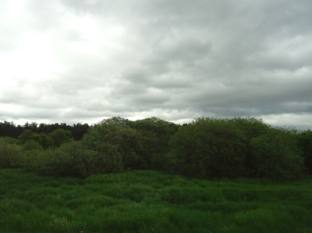
Crow Wood is a picturesque woodland located in Fife, Scotland. Spread across an area of approximately 100 acres, it is a haven for nature enthusiasts and outdoor lovers alike. The wood is situated in close proximity to the towns of St Andrews and Cupar, making it easily accessible for visitors.
The wood is predominantly made up of native broadleaf trees, such as oak, birch, and beech, which create a dense and diverse canopy. The forest floor is covered in a thick carpet of moss, ferns, and wildflowers, providing a rich habitat for a variety of flora and fauna.
As one ventures deeper into the wood, they will come across a network of well-maintained trails that meander through the trees. These paths offer a leisurely stroll or a challenging hike, depending on the chosen route. Along the way, visitors may encounter small streams, bridges, and even a waterfall, adding to the charm and beauty of the woodland.
Crow Wood is a popular destination for birdwatchers, as it is home to a wide range of bird species. From the melodious songs of songbirds to the majestic flight of birds of prey, there is always something to captivate bird enthusiasts. The wood also provides habitats for other wildlife, including squirrels, deer, and a variety of insects.
With its serene atmosphere, diverse flora and fauna, and well-maintained trails, Crow Wood offers a tranquil escape from the hustle and bustle of everyday life. Whether for a peaceful walk, a picnic, or simply to immerse oneself in nature, this woodland is a true gem in the heart of Fife.
If you have any feedback on the listing, please let us know in the comments section below.
Crow Wood Images
Images are sourced within 2km of 56.230769/-3.1622153 or Grid Reference NO2804. Thanks to Geograph Open Source API. All images are credited.


Crow Wood is located at Grid Ref: NO2804 (Lat: 56.230769, Lng: -3.1622153)
Unitary Authority: Fife
Police Authority: Fife
What 3 Words
///units.chairs.allowable. Near Freuchie, Fife
Nearby Locations
Related Wikis

Falkland Road railway station
Falkland Road railway station served the village of Freuchie, Fife, Scotland from 1847 to 1958 on the Edinburgh and Northern Railway. It lay almost 1 kilometre...

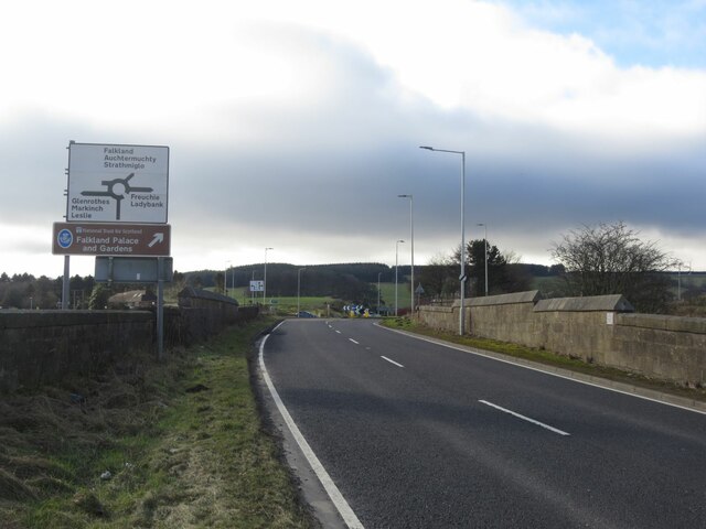
Balfarg
Balfarg is a prehistoric monument complex in Glenrothes, Fife, Scotland. It is protected as a scheduled monument. With the development of Glenrothes new...

Freuchie
Freuchie is a village in Fife, Scotland, at the foot of the Lomond Hills, and near Falkland. The nearest major town is Glenrothes located 4 miles to the...

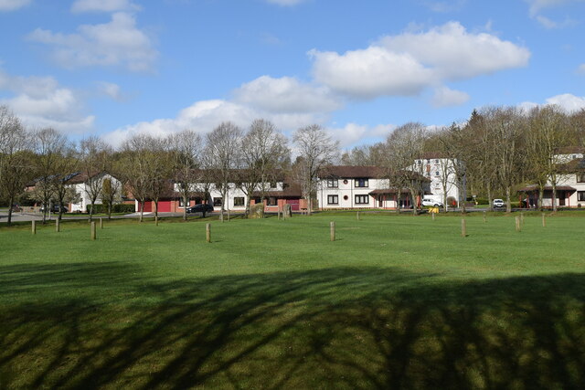
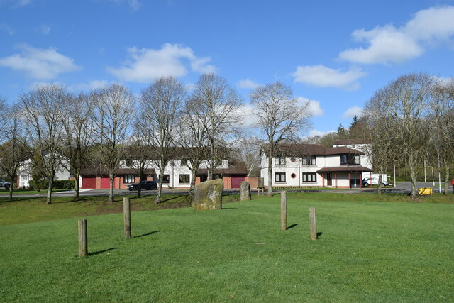
Balbirnie Stone Circle
Balbirnie Stone Circle is an archaeological site, a stone circle on the north-eastern edge of Glenrothes, in Fife, Scotland. The site was in use from the...
Nearby Amenities
Located within 500m of 56.230769,-3.1622153Have you been to Crow Wood?
Leave your review of Crow Wood below (or comments, questions and feedback).