Upper Mains Wood

Wood, Forest in Banffshire

Scotland

Upper Mains Wood

The Mash Tun The former Station Bar is a Category C Listed Building. See <span class="nowrap"><a title="http://portal.historicenvironment.scot/designation/LB49987" rel="nofollow ugc noopener" href="http://portal.historicenvironment.scot/designation/LB49987">Link</a><img style="margin-left:2px;" alt="External link" title="External link - shift click to open in new window" src="https://s1.geograph.org.uk/img/external.png" width="10" height="10"/></span>. The Mash Tun's own web site <span class="nowrap"><a title="https://www.mashtun-aberlour.com/about-us" rel="nofollow ugc noopener" href="https://www.mashtun-aberlour.com/about-us">Link</a><img style="margin-left:2px;" alt="External link" title="External link - shift click to open in new window" src="https://s1.geograph.org.uk/img/external.png" width="10" height="10"/></span> says, "The building was originally constructed in 1896 by James Campbell, a sea captain, who instructed a marine architect to design the building in the shape of a small ship. ​A pledge contained in the title deeds, made in 1963 by the owner at the time, states that since Dr Beeching closed the railway in Aberlour then a name change was appropriate - but that if ever a train should pull up at the station again then the pub will revert to the Station Bar".
The Mash Tun Credit: Anne Burgess

Upper Mains Wood is a picturesque woodland located in the region of Banffshire, Scotland. Covering an area of approximately 50 hectares, the wood is situated on the eastern slopes of the Garty Hill, providing breathtaking views of the surrounding countryside.

The wood is predominantly made up of native broadleaf trees, including oak, birch, and beech, which create a diverse and vibrant ecosystem. The dense canopy allows for limited sunlight to reach the forest floor, resulting in a lush undergrowth of ferns, wildflowers, and mosses.

Upper Mains Wood is home to a variety of wildlife, making it an ideal destination for nature enthusiasts. The forest provides a habitat for various bird species, including woodpeckers, owls, and thrushes. Additionally, mammals such as red squirrels, roe deer, and badgers can be spotted within the wood, adding to its natural charm.

The wood offers several walking trails, allowing visitors to explore its beauty and tranquility. These trails wind through the forest, offering glimpses of the wildlife and providing opportunities for birdwatching and photography. The peaceful atmosphere and the sound of birdsong make Upper Mains Wood an ideal spot for relaxation and contemplation.

Managed by the local forestry authority, Upper Mains Wood is well-maintained, ensuring the preservation of its natural beauty for future generations. The wood serves not only as a recreational space but also as an important ecological resource, contributing to the overall biodiversity of the region.

In conclusion, Upper Mains Wood is a captivating woodland in Banffshire, Scotland, offering a delightful blend of natural beauty and wildlife. With its diverse range of trees and abundance of wildlife, it is a haven for nature lovers and a perfect destination for those seeking solace in the embrace of nature.

If you have any feedback on the listing, please let us know in the comments section below.

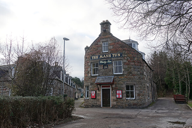
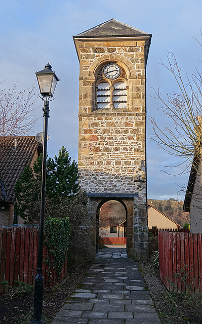
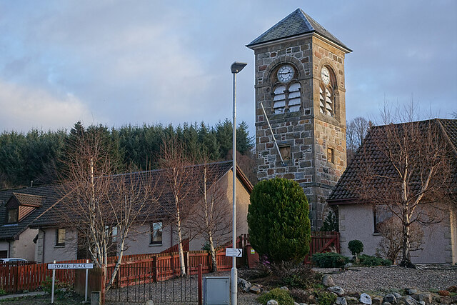
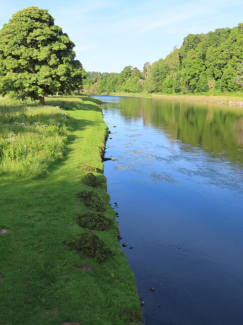
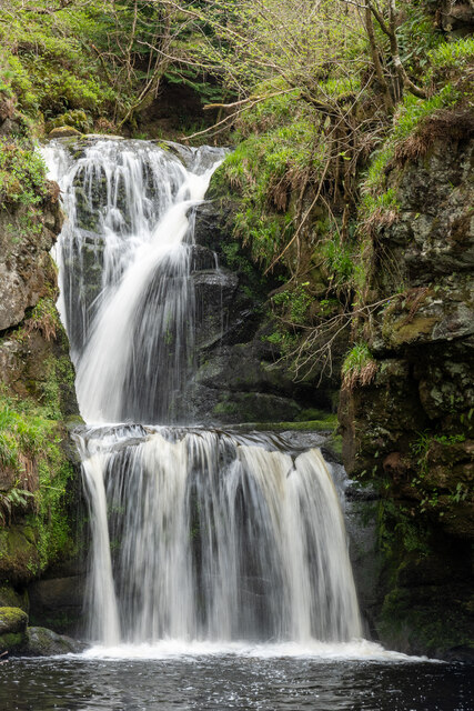
Upper Mains Wood Images

Images are sourced within 2km of 57.47029/-3.2098497 or Grid Reference NJ2742. Thanks to Geograph Open Source API. All images are credited.

The Mash Tun The former Station Bar is a Category C Listed Building. See <span class="nowrap"><a title="http://portal.historicenvironment.scot/designation/LB49987" rel="nofollow ugc noopener" href="http://portal.historicenvironment.scot/designation/LB49987">Link</a><img style="margin-left:2px;" alt="External link" title="External link - shift click to open in new window" src="https://s1.geograph.org.uk/img/external.png" width="10" height="10"/></span>. The Mash Tun's own web site <span class="nowrap"><a title="https://www.mashtun-aberlour.com/about-us" rel="nofollow ugc noopener" href="https://www.mashtun-aberlour.com/about-us">Link</a><img style="margin-left:2px;" alt="External link" title="External link - shift click to open in new window" src="https://s1.geograph.org.uk/img/external.png" width="10" height="10"/></span> says, "The building was originally constructed in 1896 by James Campbell, a sea captain, who instructed a marine architect to design the building in the shape of a small ship. ​A pledge contained in the title deeds, made in 1963 by the owner at the time, states that since Dr Beeching closed the railway in Aberlour then a name change was appropriate - but that if ever a train should pull up at the station again then the pub will revert to the Station Bar".
The Mash Tun
The former Station Bar is a Category C Listed Building. See LinkExternal link. The Mash Tun's own web site LinkExternal link says, "The building was originally constructed in 1896 by James Campbell, a sea captain, who instructed a marine architect to design the building in the shape of a small ship. ​A pledge contained in the title deeds, made in 1963 by the owner at the time, states that since Dr Beeching closed the railway in Aberlour then a name change was appropriate - but that if ever a train should pull up at the station again then the pub will revert to the Station Bar".
Aberlour Orphanage Clock Tower The clock tower is the only part of the Aberlour Orphanage buildings that survives, cramped and hemmed in by modern housing. It is a Category C Listed building. See <span class="nowrap"><a title="http://portal.historicenvironment.scot/designation/LB20865" rel="nofollow ugc noopener" href="http://portal.historicenvironment.scot/designation/LB20865">Link</a><img style="margin-left:2px;" alt="External link" title="External link - shift click to open in new window" src="https://s1.geograph.org.uk/img/external.png" width="10" height="10"/></span> for details.
Aberlour Orphanage Clock Tower
The clock tower is the only part of the Aberlour Orphanage buildings that survives, cramped and hemmed in by modern housing. It is a Category C Listed building. See LinkExternal link for details.
Memorial to Aberlour Orphanage Each panel tells part of the story of the orphanage that stood on this site in the late 19th and first part of the 20th century.
Memorial to Aberlour Orphanage
Each panel tells part of the story of the orphanage that stood on this site in the late 19th and first part of the 20th century.
Farm Close Modern housing in a quiet cul-de-sac on the site of the former Aberlour Orphanage.
Farm Close
Modern housing in a quiet cul-de-sac on the site of the former Aberlour Orphanage.
River Spey at Aberlour I was a little saddened to see that someone has been gathering and removing the River Water-crowfoot that is currently flowering just upstream from the bridge, but at least they haven't cleared all of it. This was at seven o'clock in the morning. When I returned several hours later the heaps had been removed.
River Spey at Aberlour
I was a little saddened to see that someone has been gathering and removing the River Water-crowfoot that is currently flowering just upstream from the bridge, but at least they haven't cleared all of it. This was at seven o'clock in the morning. When I returned several hours later the heaps had been removed.
River Spey A sandy beach has developed on the inside of a bend in the course of the river, and it has been colonised by colourful lupins that have become established in the wild after escaping from gardens. This is not altogether welcome, however, because lupins are invasive and can become a nuisance.
River Spey
A sandy beach has developed on the inside of a bend in the course of the river, and it has been colonised by colourful lupins that have become established in the wild after escaping from gardens. This is not altogether welcome, however, because lupins are invasive and can become a nuisance.
Glaucous Dog-rose (Rosa vosagiaca) Officially it's Rosa caesia subspecies vosagiaca. It's one of the commonest species of wild rose north of a line from the Wash to the Bristol Channel, but is rare in southern and western England and from most of Ireland.
Glaucous Dog-rose (Rosa vosagiaca)
Officially it's Rosa caesia subspecies vosagiaca. It's one of the commonest species of wild rose north of a line from the Wash to the Bristol Channel, but is rare in southern and western England and from most of Ireland.
Taking a Rest A small flotilla of canoes on the bank of the River Spey at Aberlour while the crews relax in the sunshine.
Taking a Rest
A small flotilla of canoes on the bank of the River Spey at Aberlour while the crews relax in the sunshine.
Victoria Bridge The suspension bridge enables pedestrians to cross the River Spey at Aberlour. It's several miles to the nearest motorable bridge both downstream and upstream.
Victoria Bridge
The suspension bridge enables pedestrians to cross the River Spey at Aberlour. It's several miles to the nearest motorable bridge both downstream and upstream.
River Spey at Aberlour In this view from the Victoria Bridge you can see that the level of the river is quite low. There was once a ford here, and later a ferry.
River Spey at Aberlour
In this view from the Victoria Bridge you can see that the level of the river is quite low. There was once a ford here, and later a ferry.
High Street, Aberlour, on a dull June day
Parish church, The Square, Aberlour The full name for this neat little town is Charlestown of Aberlour.
Parish church, The Square, Aberlour
The full name for this neat little town is Charlestown of Aberlour.
Riverside path by the Spey at Aberlour The Spey is one of Scotland's finest salmon fishing rivers.
Riverside path by the Spey at Aberlour
The Spey is one of Scotland's finest salmon fishing rivers.
St Margaret's Episcopal Church, Aberlour This large church was built in the 1870s in conjunction with a large orphanage and school.
St Margaret's Episcopal Church, Aberlour
This large church was built in the 1870s in conjunction with a large orphanage and school.
Falls of Linn Well worth the walk from Aberlour
Falls of Linn
Well worth the walk from Aberlour
Aberlour Bridge
Aberlour Bridge
Autumn colours The leaves on the trees are starting to change colour in Aberlour.
Autumn colours
The leaves on the trees are starting to change colour in Aberlour.
Show me another place!

Upper Mains Wood is located at Grid Ref: NJ2742 (Lat: 57.47029, Lng: -3.2098497)

Unitary Authority: Moray

Police Authority: North East

What 3 Words

///vaccines.lamenting.leads. Near Charlestown of Aberlour, Moray

Related Wikis

St Margaret's Church, Aberlour

St Margaret's Church is a church of the Scottish Episcopal Church near Aberlour in Moray, Scotland. It is Gothic in style, built mostly of tooled granite...

Speyside High School, Aberlour

Speyside High School is a secondary school in Aberlour, Moray. It has 437 pupils. It serves the areas of Aberlour, Archiestown, Craigellachie, Dufftown...

Aberlour

Aberlour (Scottish Gaelic: Obar Lobhair) is a village in Moray, Scotland, 12 miles (20 km) south of Elgin on the road to Grantown. The Lour burn is a tributary...

Fleming Cottage Hospital

Fleming Hospital is a UK National Health Service hospital in Aberlour, Morayshire, Scotland. It is administered by NHS Grampian. == History == The hospital...

Aberlour House (building)

Aberlour House is a country house near Aberlour in Moray, Scotland. It was built in 1838 by William Robertson for Alexander Grant, planter and merchant...

Aberlour railway station

Aberlour railway station served the village of Aberlour, Scotland, from 1863 to 1965. == History == The station was opened by the Strathspey Railway when...

Aberlour distillery

Aberlour distillery is a Speyside single malt Scotch whisky distillery, in Aberlour, Strathspey, Scotland, at the confluence of the Lour Burn and River...

A95 road

The A95 road is a major road of north-east Scotland connecting the A9 road in the Highlands to the A98 road near the coast. == Route == It leaves the A9...

Related Videos

The GlenAllachie Distillery💚 #shorts

whisky #whiskey #dufftown #distillery #glenallachie #scotland #travel #스코틀랜드 #위스키 #shorts #증류소.

A Drive through Scottish Countryside, Inverurie to Aberlour, 4K

A drive through Scottish Countryside, Inverurie to Aberlour, 4K. The video was recorded on 3rd of Nov 2022. About my channel: Hi ...

Linn Falls

A Vlog about taking pictures of the Linn Falls, Moray. This started out as a vlog about river photography in Perthshire and ...

Scotch Whisky Trail - Scotland's Famous Highland Distilleries

Scotch Whisky is the most revered alcoholic drink in the world. But how is it made and what makes Scotch whisky taste so good?

Nearby Amenities

Located within 500m of 57.47029,-3.2098497
Historic: memorial
Memorial: war_memorial
Lat/Long: 57.4725195/-3.2161242
Clock
Lat/Long: 57.4713931/-3.2178381
Power: pole
Lat/Long: 57.4715015/-3.2021981
Power: pole
Lat/Long: 57.4710362/-3.2032456
Power: pole
Lat/Long: 57.470628/-3.2041434
Power: pole
Lat/Long: 57.4702175/-3.2050694
Power: pole
Lat/Long: 57.4698245/-3.2059499
Power: pole
Lat/Long: 57.4692939/-3.2071297
Power: pole
Lat/Long: 57.4687784/-3.2083094
Power: pole
Lat/Long: 57.4683598/-3.2092246
Power: pole
Lat/Long: 57.4684659/-3.2103003
Power: pole
Lat/Long: 57.4685954/-3.2116752
Power: pole
Lat/Long: 57.46874/-3.213074
Power: pole
Lat/Long: 57.4688846/-3.2145986
Power: pole
Lat/Long: 57.4690187/-3.2161037
Power: pole
Lat/Long: 57.4691516/-3.2172357
Power: pole
Lat/Long: 57.4706385/-3.2061603
Power: pole
Lat/Long: 57.4695505/-3.2179058
The data included in this document is from www.openstreetmap.org. The data is made available under ODbL.

Have you been to Upper Mains Wood?

Leave your review of Upper Mains Wood below (or comments, questions and feedback).