Blackstank Wood

Wood, Forest in Banffshire

Scotland

Blackstank Wood

Estate road leaving Glack Harnes Glack Harnes appears to be the name of a pass crossed by a minor road between Meikle Conval and Ben Rinnes which is the mountain in view beyond the bar of mist.
Estate road leaving Glack Harnes Credit: Trevor Littlewood

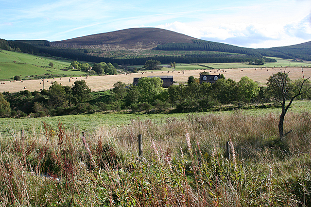
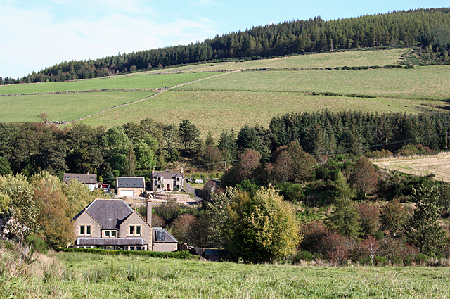
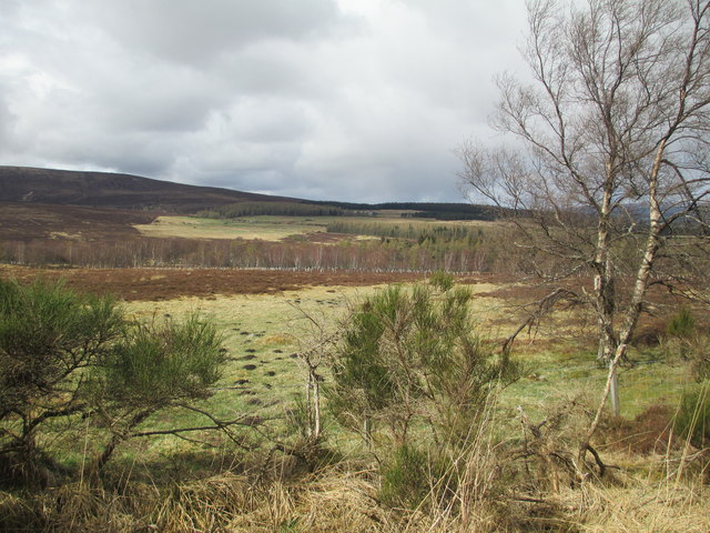
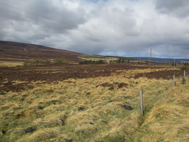
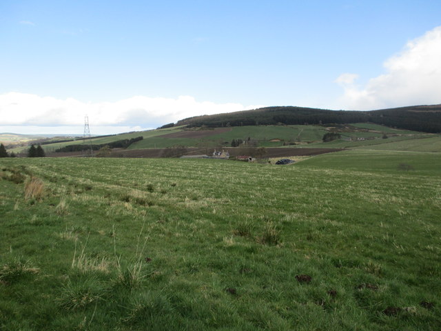
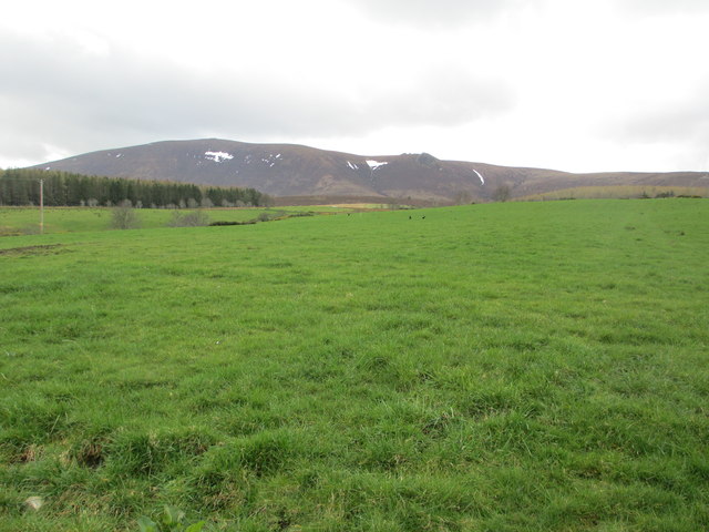
Blackstank Wood is a picturesque forest located in Banffshire, Scotland. Covering an area of approximately 150 acres, it is a popular destination for nature enthusiasts and outdoor adventurers. The wood is nestled amidst rolling hills and offers breathtaking views of the surrounding countryside.

The wood is primarily composed of native tree species, including oak, birch, and pine, which create a diverse and lush ecosystem. The dense canopy provides ample shade and forms a haven for a variety of flora and fauna. Visitors can expect to encounter an array of woodland plants such as bluebells, primroses, and wild garlic, especially during the spring months.

A network of well-maintained trails crisscrosses the wood, offering visitors the opportunity to explore its beauty on foot. These trails cater to different levels of difficulty, making it accessible for people of all ages and fitness levels. Along the way, hikers may come across peaceful streams, charming wooden bridges, and occasional wildlife sightings, including red squirrels and various bird species.

Blackstank Wood also boasts a rich history, with remnants of old stone walls and ruins scattered throughout the area. These remnants serve as a reminder of the wood's past use for agriculture and its significance to the local community.

Overall, Blackstank Wood provides a tranquil and enchanting experience for nature lovers, offering a chance to immerse oneself in the breathtaking beauty of Banffshire's natural landscape.

If you have any feedback on the listing, please let us know in the comments section below.

Blackstank Wood Images

Images are sourced within 2km of 57.426822/-3.2133111 or Grid Reference NJ2738. Thanks to Geograph Open Source API. All images are credited.

Estate road leaving Glack Harnes Glack Harnes appears to be the name of a pass crossed by a minor road between Meikle Conval and Ben Rinnes which is the mountain in view beyond the bar of mist.
Estate road leaving Glack Harnes
Glack Harnes appears to be the name of a pass crossed by a minor road between Meikle Conval and Ben Rinnes which is the mountain in view beyond the bar of mist.
Craighead The house and farm buildings in the middle distance are Craighead. This is the Craighead in the parish of Edinvillie, not to be confused with any number of similarly named farms in other parishes. The hill on the skyline is Meikle Conval.
Craighead
The house and farm buildings in the middle distance are Craighead. This is the Craighead in the parish of Edinvillie, not to be confused with any number of similarly named farms in other parishes. The hill on the skyline is Meikle Conval.
Milltown of Edinvillie The Milltown is at the foot of the slopes leading up to Little Conval.
Milltown of Edinvillie
The Milltown is at the foot of the slopes leading up to Little Conval.
Moorland at Knowe of Blairnain
Moorland near Blackstank
Moorland below Ben Rinnes
Field near Edinvillie
Fields at Shenval
Fields at Shenval
Early Morning Light on Ben Rinnes Taken from the minor road near Beatshach.
Early Morning Light on Ben Rinnes
Taken from the minor road near Beatshach.
View across open country at the north end of Glack Harnes Towards Ben Rinns
View across open country at the north end of Glack Harnes
Towards Ben Rinns
The road north from Glack Harnes
View across rough land near Blackstank
Upper Blairnain and the Wee Conval View from the slopes of Ben Rinnes.
Upper Blairnain and the Wee Conval
View from the slopes of Ben Rinnes.
The Convals Meikle and Little Conval, seen from below Ben Rinnes.
The Convals
Meikle and Little Conval, seen from below Ben Rinnes.
Underwater Tracks We were intrigued by the snaking trails on the bottom of this puddle, but could not work out what sort of creature was making them.
Underwater Tracks
We were intrigued by the snaking trails on the bottom of this puddle, but could not work out what sort of creature was making them.
Foal's Stable This sluggish channel is the headwater of the Beatshach Burn, which rises here beside the track and collects the water from several springs on its way down to Edinvillie. The first edition of the Ordnance Survey six-inch map calls this spot Foal's Stable, but I have no idea why.
Foal's Stable
This sluggish channel is the headwater of the Beatshach Burn, which rises here beside the track and collects the water from several springs on its way down to Edinvillie. The first edition of the Ordnance Survey six-inch map calls this spot Foal's Stable, but I have no idea why.
Track to Millstone Craig This is the oldest part of the track along the north slope of Ben Rinnes which led to the granite quarry about a mile away.
Track to Millstone Craig
This is the oldest part of the track along the north slope of Ben Rinnes which led to the granite quarry about a mile away.
Beatshach The Beatshach, or Batchach as it appears on the first edition of the six-inch Ordnance Survey map, is a shallow bowl of probably boggy ground between Ben Rinnes and the Convals. Meikle Conval is closest, and Little Conval is further away.
Beatshach
The Beatshach, or Batchach as it appears on the first edition of the six-inch Ordnance Survey map, is a shallow bowl of probably boggy ground between Ben Rinnes and the Convals. Meikle Conval is closest, and Little Conval is further away.
Show me another place!

Blackstank Wood is located at Grid Ref: NJ2738 (Lat: 57.426822, Lng: -3.2133111)

Unitary Authority: Moray

Police Authority: North East

What 3 Words

///porch.transcribes.squeaking. Near Charlestown of Aberlour, Moray

Nearby Locations

Blackstank Wood

Related Wikis

Benrinnes distillery

Benrinnes distillery is a malt whisky distillery in Aberlour producing an eponymous whisky. It was founded in 1826, and is still active. The distillery...

Moray

Moray ( ) Scottish Gaelic: Moireibh or Moireabh) is one of the 32 local government council areas of Scotland. It lies in the north-east of the country...

Ben Rinnes

Ben Rinnes (Scottish Gaelic: Beinn Ruaidhneis) is a mountain in Banffshire, in northern Scotland. The mountain is popular with hikers. The mountain is...

Glenallachie distillery

GlenAllachie distillery is a Speyside, single malt whisky distillery at Aberlour founded in 1967, which sits at the foot of Ben Rinnes. Previously, the...

Nearby Amenities

Located within 500m of 57.426822,-3.2133111
Blackstank
Place: locality
Lat/Long: 57.4242926/-3.2152365
The data included in this document is from www.openstreetmap.org. The data is made available under ODbL.

Have you been to Blackstank Wood?

Leave your review of Blackstank Wood below (or comments, questions and feedback).