Benrinnes Wood
Wood, Forest in Banffshire
Scotland
Benrinnes Wood

Benrinnes Wood is a picturesque forest located in Banffshire, Scotland. Covering an area of approximately 500 acres, it is known for its stunning natural beauty and diverse range of flora and fauna. The wood is situated on the slopes of Ben Rinnes, a prominent mountain in the region, and offers breathtaking views of the surrounding countryside.
The forest is predominantly made up of native tree species, such as Scots pine, birch, and oak, which create a dense canopy overhead. These trees provide a habitat for numerous bird species, including woodpeckers, owls, and various songbirds. Visitors to Benrinnes Wood can often catch glimpses of these birds flitting between the branches or hear their melodic calls.
Tranquil walking trails wind through the wood, allowing visitors to explore its hidden corners and discover its natural wonders. Along these paths, one can find a rich variety of wildflowers, ferns, and mosses, adding bursts of color to the forest floor.
Benrinnes Wood is also home to a diverse array of wildlife. Red squirrels can be spotted leaping between tree branches, while deer can occasionally be seen grazing in clearings. The forest is also a haven for smaller creatures like hedgehogs, badgers, and a multitude of insects.
Overall, Benrinnes Wood offers visitors a peaceful and enchanting escape into nature. Its stunning landscapes, abundant wildlife, and well-maintained trails make it a popular destination for nature lovers, hikers, and photographers alike.
If you have any feedback on the listing, please let us know in the comments section below.
Benrinnes Wood Images
Images are sourced within 2km of 57.401157/-3.2188197 or Grid Reference NJ2635. Thanks to Geograph Open Source API. All images are credited.


Benrinnes Wood is located at Grid Ref: NJ2635 (Lat: 57.401157, Lng: -3.2188197)
Unitary Authority: Moray
Police Authority: North East
What 3 Words
///grinders.pink.poems. Near Dufftown, Moray
Nearby Locations
Related Wikis
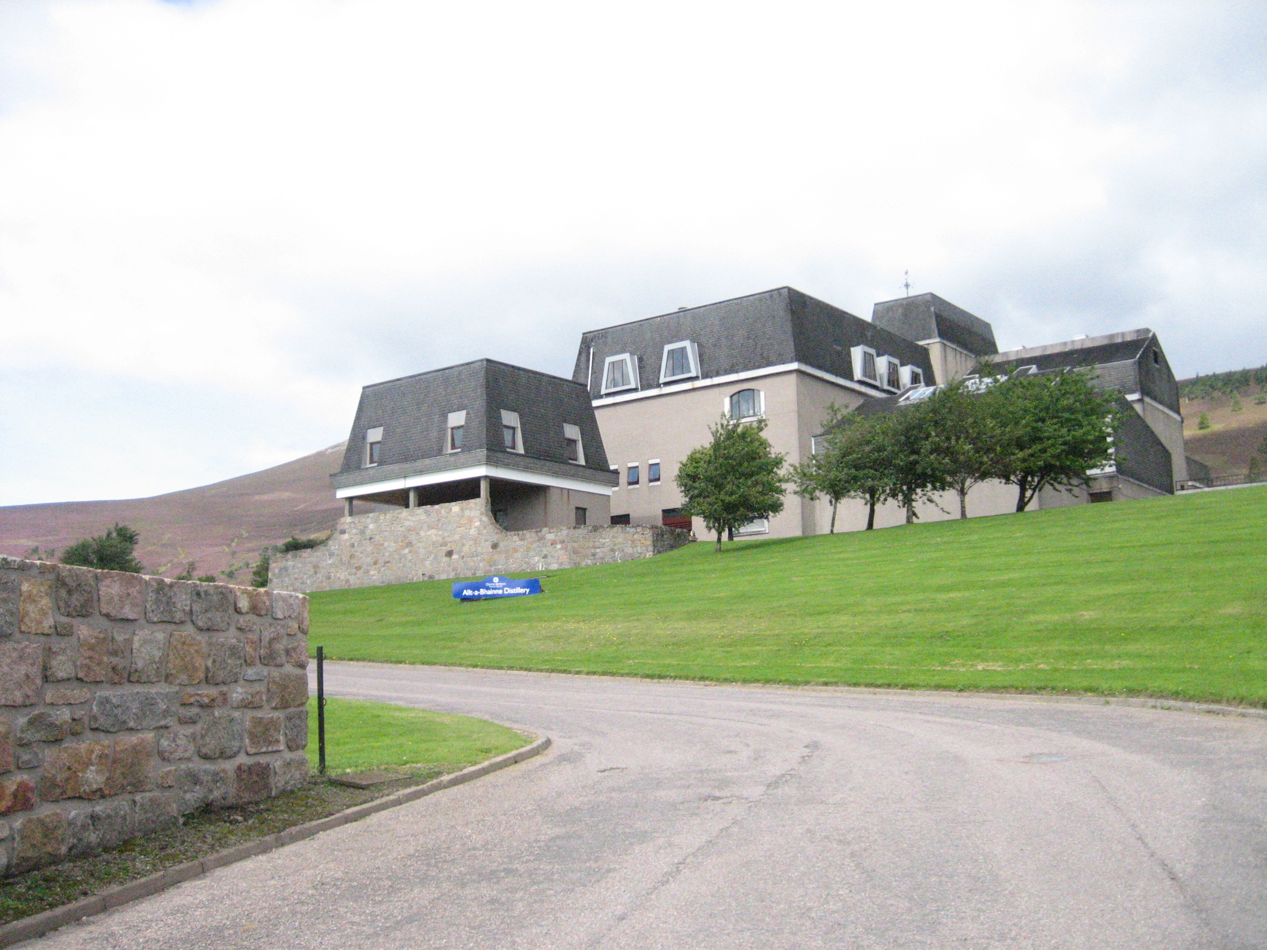
Allt-A-Bhainne distillery
Allt-A-Bhainne distillery (Scottish Gaelic: Allt a' Bhainne [al̪ˠt̪əˈvaɲə], meaning 'milk burn') is a Scotch whisky distillery in the Speyside Region of...

Ben Rinnes
Ben Rinnes (Scottish Gaelic: Beinn Ruaidhneis) is a mountain in Banffshire, in northern Scotland. The mountain is popular with hikers. The mountain is...

Achnastank
Achnastank (Scottish Gaelic: Achadh nan Staing, field of the pool/ditch) is a scattered settlement, south east of Ben Rinnes, in the Scottish council area...

Moray
Moray ( ) Scottish Gaelic: Moireibh or Moireabh) is one of the 32 local government council areas of Scotland. It lies in the north-east of the country...
Have you been to Benrinnes Wood?
Leave your review of Benrinnes Wood below (or comments, questions and feedback).